Posts Tagged ‘dog-friendly’
Iceberg Point — Maritime scenery will leave you frozen in astonishment
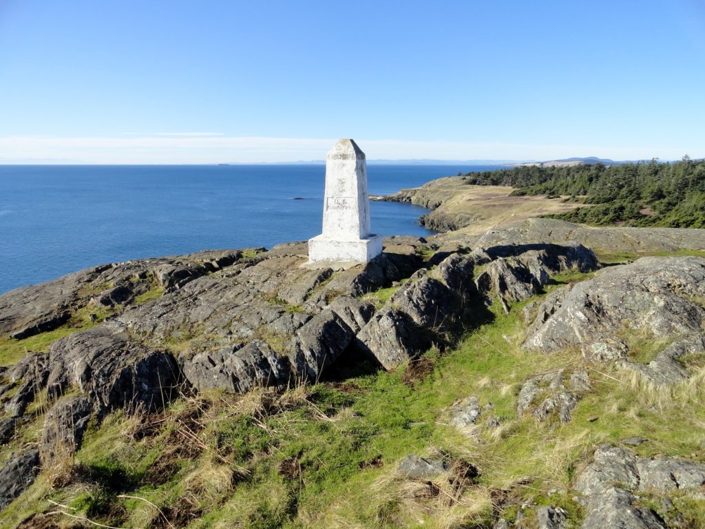
Quick Facts: Location: San Juan Islands National Monument Land Agency: Bureau of Land Managment Roundtrip: 3.8 miles Elevation gain: 380 feet Contact: San Juan Islands National Monument, Spokane District Office BLM Notes: Dogs permitted on leash; do not park beyond Agate Beach Park; access is via private property which owners have generously granted permission—stay on…
Read MoreSun Top — snowshoe to a historic lookout in the shadows of Mount Rainier
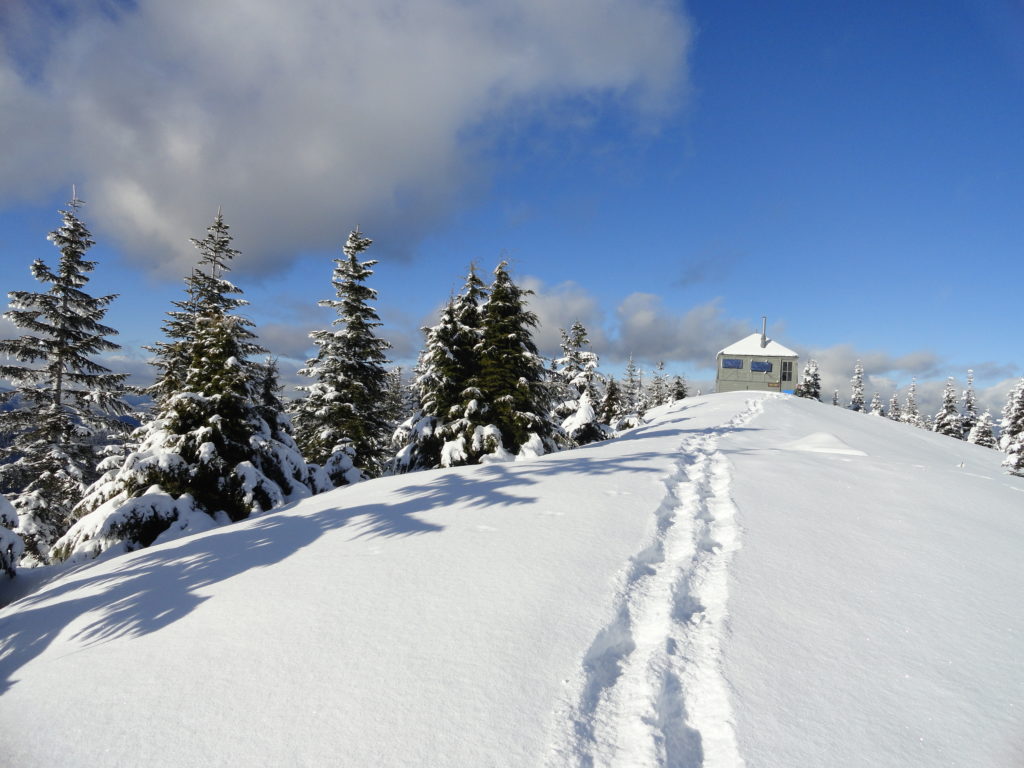
Quick Facts: Location: White River Valley Land Agency: Mount Baker-Snoqualmie National Forest Roundtrip: 11.0 miles Elevation gain: 3,050 feet Contact: Mount Baker-Snoqualmie National Forest Green Trails Map: Green Trails Maps – Greenwater no. 238 Notes: Sno-park Pass required. Route is non-groomed and shared with skiers (do not snowshoe on groomed ski trail). Beyond the upper…
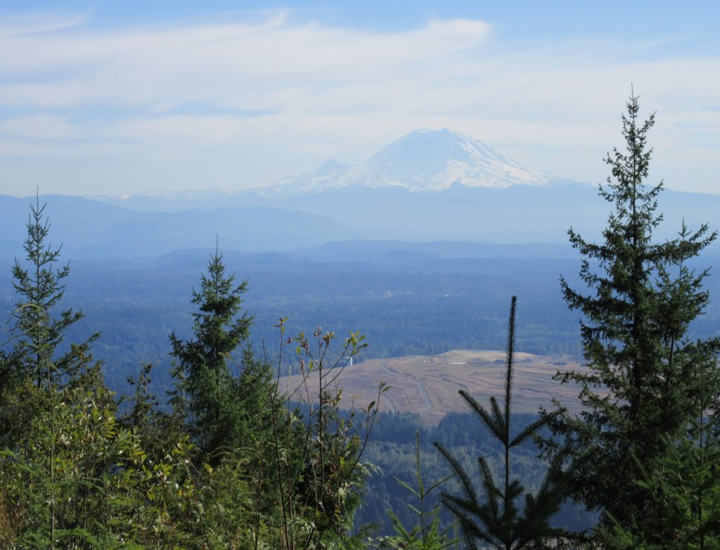
Read MoreSoaring Eagle Regional Park- take a sleigh ride!
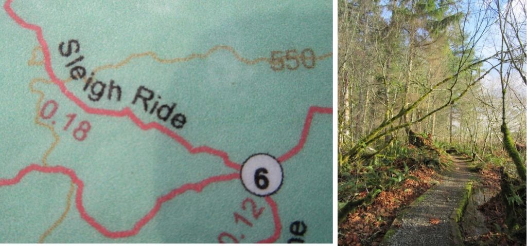
Quick Facts: Location: Sammamish Plateau Land Agency: King County Parks Distance: more than 12.0 miles of trails Elevation Gain: up to 325 feet Contact: King County Parks Notes: dogs permitted on leash; trails also open to horses and mountain bikes Map: Click Here Recommended Guidebook: Urban Trails Eastside (Mountaineers Books) Access: From Bellevue follow SR…
Read MoreMoulton Falls
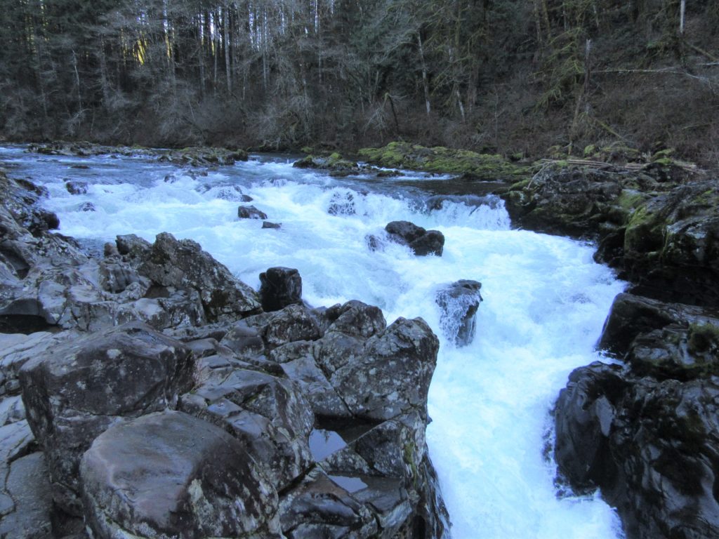
Walk along a wild river to an impressive set of rapids Quick Facts: Location: Clark County, WA Land Agency: Clark County Parks Roundtrip: 5.4 miles Elevation Gain: 200 feet Access: From Vancouver head north on I-5 to Exit 11 following SR 502 east for 6.0 miles to Battle Ground. Turn left onto SR 503 and…
Read MoreMargaret’s Way to Debbie’s View
Excellent views on the quiet Issaquah Alp Quick Facts: Location: Squak Mountain, Issaquah Alps Land Agency: King County Parks, Washington State Parks Distance: 7.0 miles Elevation Gain: 1600 feet Contact: Squak Mountain State Park and King County Parks Green Trails Map: Green Trails Cougar Mtn/ Squak Mtn No. 203S Notes: dogs permitted on leash Recommended…
Read MoreCranberry Lake Trail—A sweet little hike on Camano Island
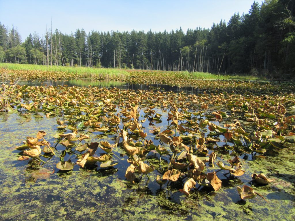
Quick Facts: Location: Camano Island Land Agency: Washington State Parks Roundtrip: 2.2 miles Elevation Gain: 125 feet Contact: Cama Beach State Park Notes: Discover Pass required; Dogs must be leashed Recommended Guidebook: Urban Trails Everett (Mountaineers Books) Access: From Exit 212 on I-5, travel west on SR 532 to Camano Island to a junction at 10.0 miles.…
Read MoreHeather Lake─A Mountain Loop Favorite perfect for families and newbies
Quick Facts: Location: Mountain Loop Highway near Granite Falls Land Agency: Mount Baker-Snoqualmie National Forest Roundtrip: 5.0 miles Elevation Gain: 1,050 feet Notes: NW Forest Pass or Interagency Pass required. ‘Green Trails Map: Mountain Loop Highway 111SX Contact: Darrington Ranger District: Mount Baker Snoqualmie National Forest; www.fs.fed.us/r6/mbs More information: Day Hiking North Cascades 2nd edition…
Read MoreHannegan Peak– Supreme views of snow and ice—and that’s the truth, Ruth!
Quick Facts: Location: North Cascades Mount Baker Wilderness Land Agency: Mount Baker-Snoqualmie National Forest Roundtrip: 10.4 miles Elevation gain: 3,100 feet Green Trails Map: Mount Baker Wilderness 13SX Contact: Glacier Public Service Center or Mount Baker Ranger District: Mount Baker-Snoqualmie National Forest Notes: Northwest Trail Pass or Interagency Pass required; Wilderness rules apply Access: From…
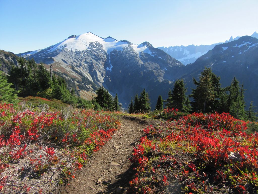
Read MoreHigh Pass
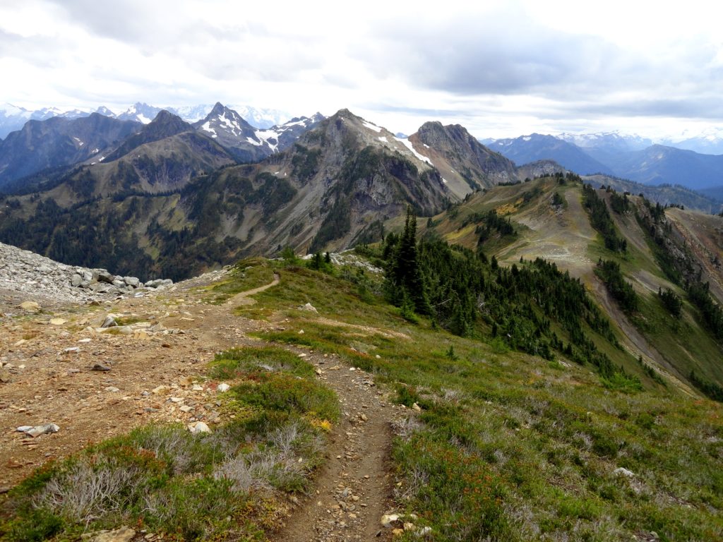
Awe-inspiring autumn alternative to a popular adjacent butte Quick Facts: Location: Mount BakerWilderness Land Agency: National Forest Service Distance: 5.2 miles Elevation Gain: 1850 feet Contact: Mount Baker–Snoqualmie National Forest, Mount Baker Ranger District, Green Trails Map: Green Trails Mount Baker Wilderness no. 13SX Recommended Guidebook: Day Hiking North Cascades 2nd edition (Mountaineers Books) Notes:…
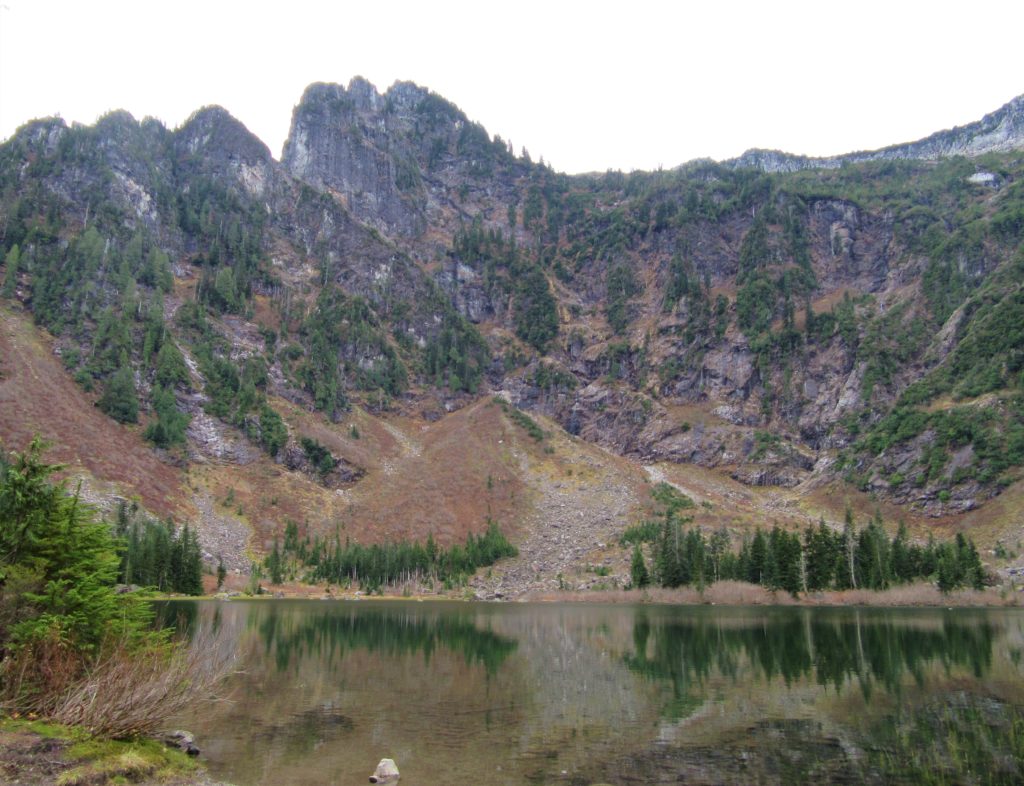
Read MoreFryingpan Lake
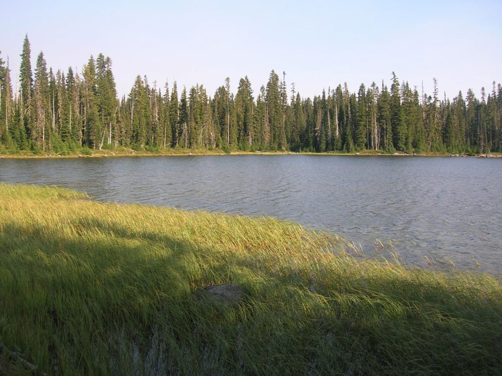
Onto the Trail and into a lovely lake setting Quick Facts: Location: William O. Douglas Wilderness Land Agency: National Forest Service Distance: 11.9 miles Elevation Gain: 2000 feet Contact: Naches Ranger District Gifford Pinchot National Forest Green Trails Map: Green Trails, White Pass, No. 303S Notes: Northwest Forest or Interagency Pass required; Overnight Permits required;…
Read More