Posts Tagged ‘dog-friendly’
Grizzly Peak — It’s a long hike, but not a bear of a hike!
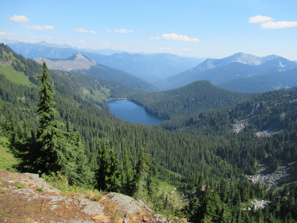
Quick Facts: Location: Pacific Crest Trail, Henry M Jackson Wilderness, Stevens Pass area Land Agency: Mount Baker-Snoqualmie National Forest Roundtrip: 16.4 miles Elevation gain: 3,400 feet Difficulty: difficult Green Trails Map: Benchmark MT- No. 144 Contact: Skykomish Ranger District: Mount Baker-Snoqualmie National Forest Access: From Everett, head east on US 2 to Stevens Pass. Continue…
Read MoreDishpan Gap—Crimson carpets at the headwaters of the Sky!
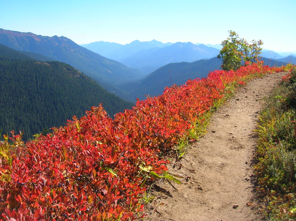
Quick Facts: Location: North Fork Skykomish River Valley Land Agency: Mount Baker-Snoqualmie National Forest Roundtrip: 17.4 miles Elevation Gain: 3,100 feet Contact: Skykomish Ranger District: Mount Baker-Snoqualmie National Forest Green Trails Map: Monte Cristo- No. 143, Benchmark Mtn- No. 144 Special Note: Northwest Forest Pass or Interagency Pass required; wilderness rules apply Access: From Everett…
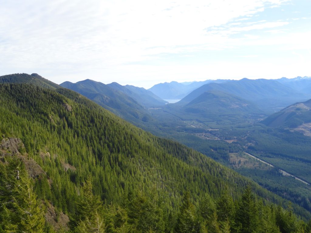
Read MoreRed Pass─High Portal to Glacier Peak
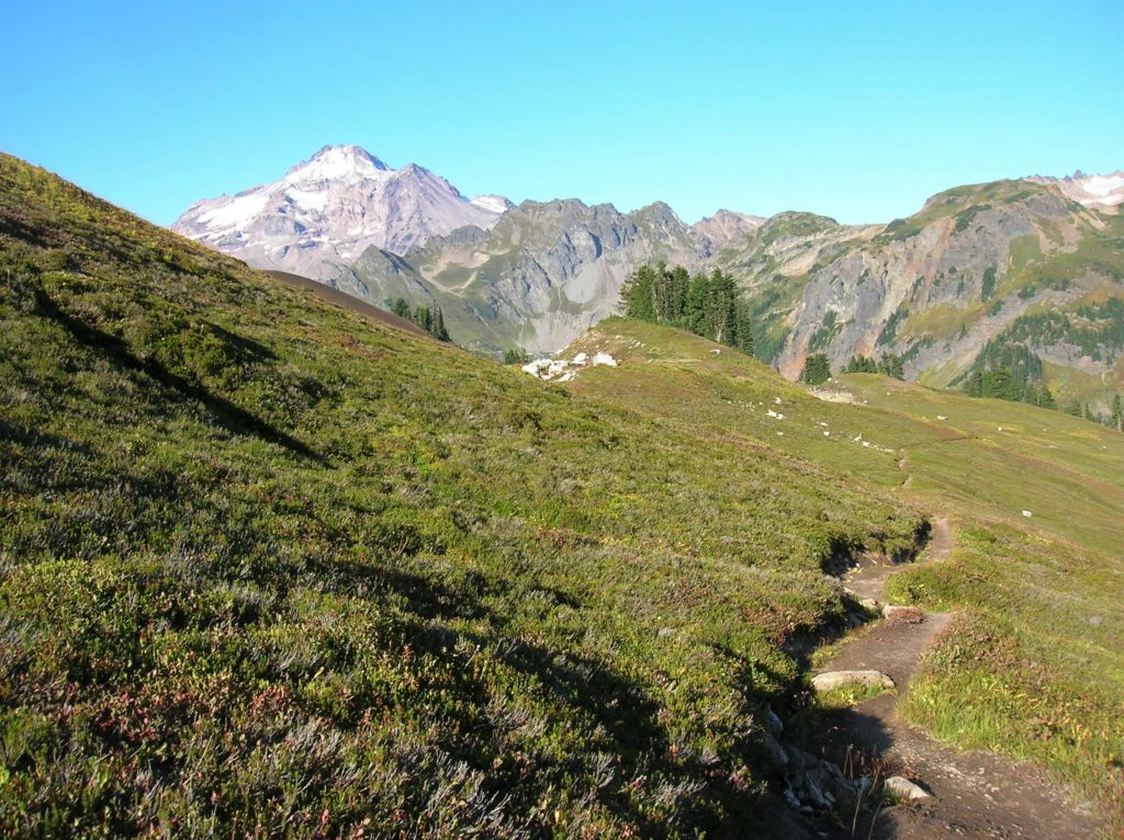
Quick Facts: Location: North Fork Sauk River Land Agency: Mount Baker-Snoqualmie National Forest Roundtrip: 20.6 miles Elevation Gain: 4,300 feet Contact: Darrington Ranger District: Mount Baker Snoqualmie National Forest (360) 436-1155; www.fs.fed.us/r6/mbs Green Trails Map: Mountain Loop Highway 111SX Special Note: Northwest Trail Pass required. Access: From Darrington, travel south on the Mountain Loop Highway…
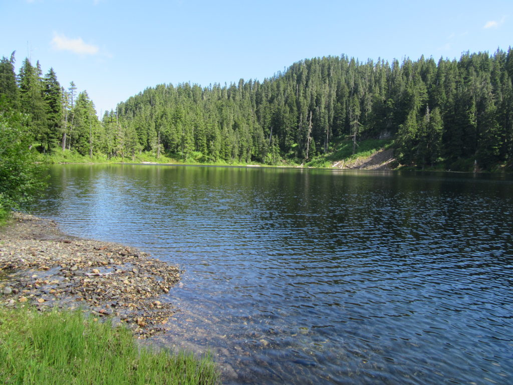
Read MoreCrystal Lake─ a trail less taken if you take the old way
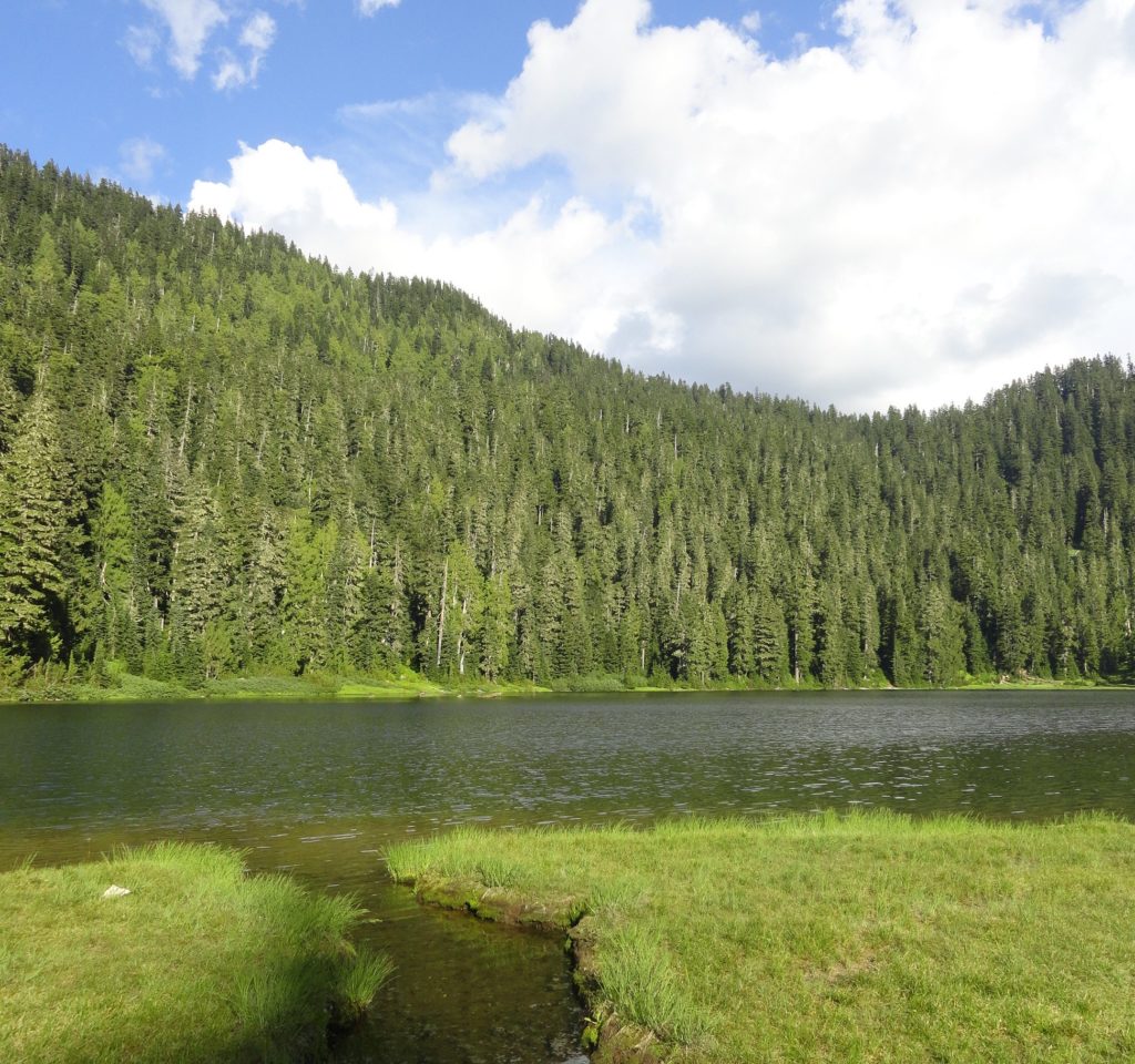
Quick Facts: Location: White Chuck River Valley, Mountain Loop Highway Land Agency: National Forest Service Roundtrip: 9.0 miles Elevation Gain: 2,150 feet Green Trails Map: Mountain Loop Highway 111SX Access: Take Exit 208 off of I-5 following SR 530 east for 32 miles to Darrington. Then head south on the Mountain Loop Highway proceeding 9.0…
Read MorePeek-a-boo Lake — peaceful little lake and peek-a-boo mountain views
Quick Facts: Location: Mountain Loop Highway near Darrington Land Agency: Mount Baker-Snoqualmie National Forest Roundtrip: 5.0 miles Elevation gain: 1600 feet Green Trails Maps: Mountain Loop Highway 111 SX Contact: Mount Baker-Snoqualmie National Forest, Darrington Ranger District Notes: Access road is rough and brushy in spots. High clearance necessary. Access: From Darrington follow the Mountain Loop…
Read MoreKloshe Nanitch
Stand watch over the Sol Duc Valley Quick Facts: Location: North Olympic Peninsula-Sol Duc Valley; Land Agency: Olympic National Forest; Roundtrip: 6.4 miles; Elevation gain: 2,400 feet; Contact: Olympic National Forest, Pacific District North, Forks; Notes: Discover Pass Required; Recommended Guidebook: Day Hiking Olympic Peninsula (2nd edition) Good to Know: Dog-friendly, Trail Less Traveled, Historic…
Read MoreThunder Creek– Stroll alongside a tumultuous creek through a striking old-growth forest
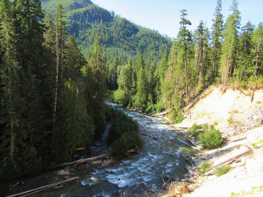
Quick Facts: Location: Ross Lake National Recreation Area Land Agency: United States National Park Service Distance: 12.0 miles Elevation Gain: 750 feet Contact: North Cascades National Park Complex Green Trails Map: North Cascades Ross Lake 16SX Notes: Dogs permitted on leash, permits required for camping Access: From Marblemount drive State Route 20 east for 24…
Read MoreBlack Lake─Wildflowers bring Black Lake back to life from past forest fires
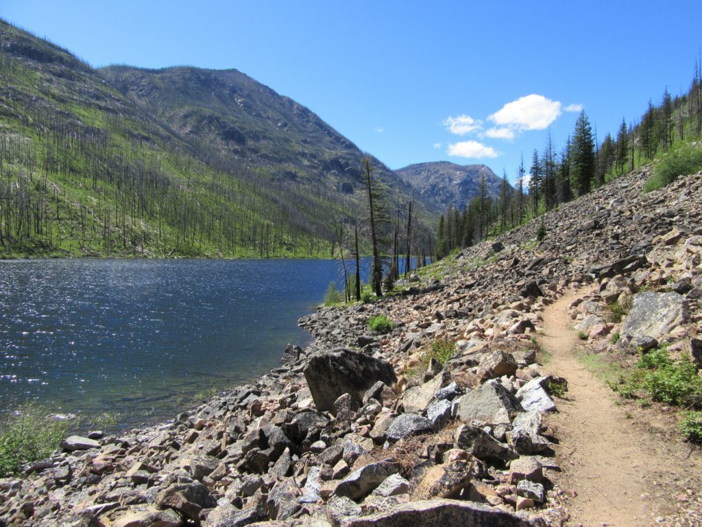
Quick Facts: Location: Chewuch River Valley Land Agency: National Forest Service Roundtrip: 10.2 miles Elevation Gain: 800 feet Contact: Methow Valley Ranger District: Okanogan-Wenatchee National Forest Green Trails Map: Methow Valley 51SX Recommended Guidebook: Day Hiking North Cascades 2nd edition Special Note: Northwest Forest Pass or Interagency Pass required. Good to Know: Dog-friendly, kid-friendly, wildflowers,…
Read MoreLower Gray Wolf River– A nice place to hang out with the pack

Quick Facts: Location: Northeast Olympic Peninsula Land Agency: Olympic National Forest Roundtrip: 7.0 miles Elevation gain: 900 feet Contact: Hood Canal Ranger District, Quilcene Green Trails Map: Olympic Mountains East no. 168SX Notes: wilderness rules apply Recommended Guidebook: Day Hiking Olympic Peninsula Good to Know: dog-friendly; kid-friendly; easy backpacking options, Buckhorn Wilderness Access: From US…
Read MoreMount Pisgah–Hike to a promising land of spectacular wildflowers
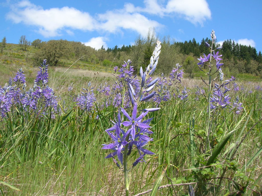
Quick Facts: Location: Willamette Valley south of Eugene Land Agency: Lane County Parks Roundtrip: 3.0 miles Elevation gain: 1,050 feet Map: Park map available online Contact: Friends of Buford Park and Mount Pisgah Notes: $5.00 day use fee; dogs must be leashed Access: From Eugene follow Franklin Blvd (Exit 189 I-5 southbound or Exit 188B northbound…
Read More