Posts Tagged ‘dog-friendly’
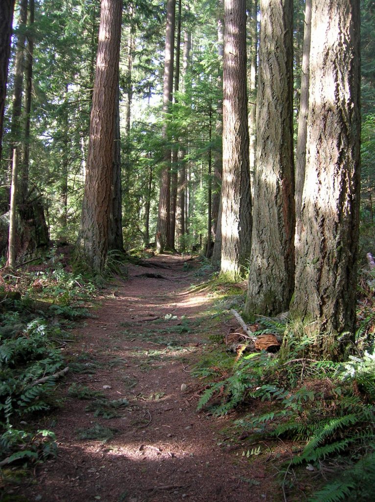
Bunker Hill─No battling for solitude along this hike

Quick Facts Location: Wind River Valley Land Agency: Gifford Pinchot National Forest Roundtrip: 4.4 miles Elevation Gain: 1,250 feet Green trails Map: Green Trails Wind River No. 397 Recommended Guidebook: Day Hiking Columbia River Gorge (Craig Romano) Access: From Stevenson, head east on SR 14 for 3.0 miles turning left onto Wind River Road. Then…
Read MorePatterson Mountain — Bitterroot and Balsamroot and a bevy of other blossoms
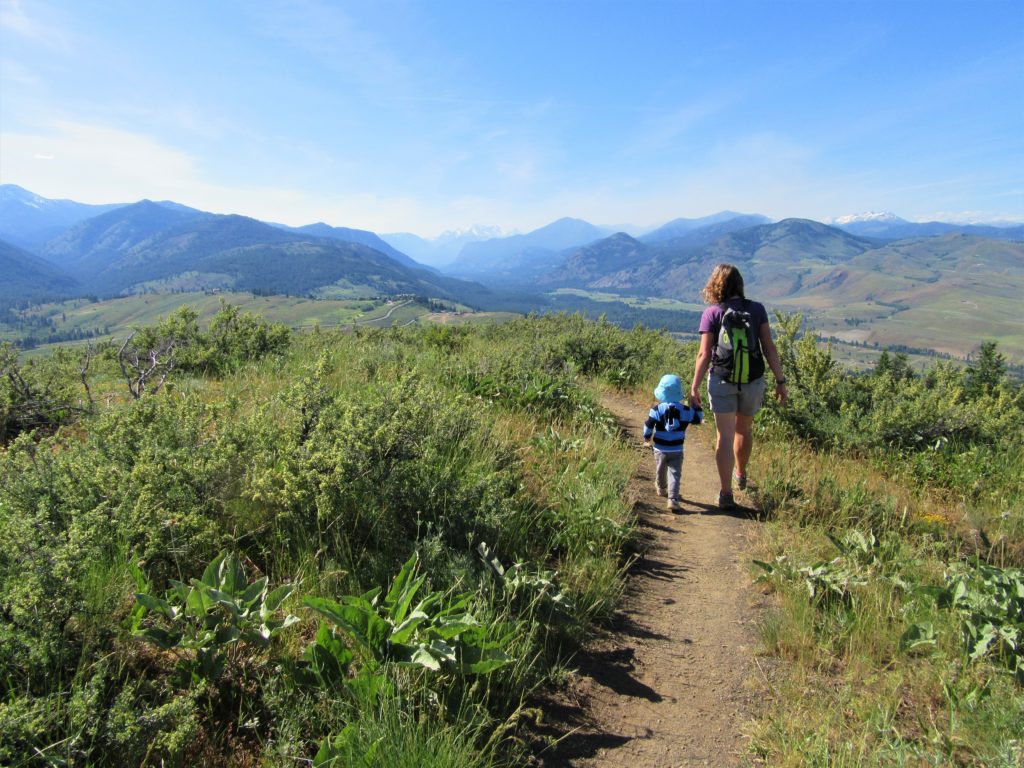
Quick Facts: Location: Methow Valley Land Agency: WA Department of Natural Resources Roundtrip: 3.7 miles Elevation Gain: 1,100 feet Contact: WA Department of Natural Resources Green Trails Map: Sun Mountain, WA- No.83S Notes: Discover Pass Required Access: From Winthrop head east on SR 20 for .6 mile immediately turning right onto Twin lakes Road. Follow for 3.0 miles turning right…
Read MoreCloverdale Farm -Explore this future park on the Stilly
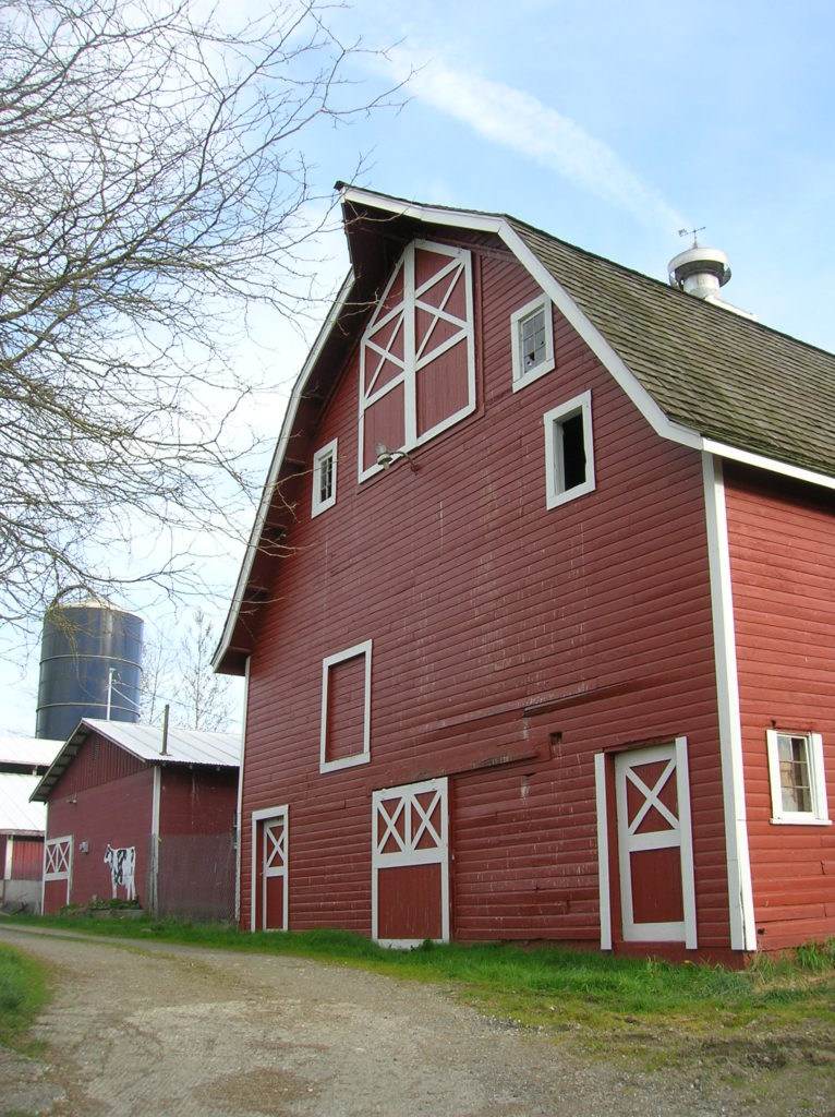
Quick Facts: Location: North Fork Stillaguamish River Valley near Arlington Land Agency: Snohomish County Parks Roundtrip: 4.5 miles Elevation gain: 50 feet Difficulty: easy Contact: Snohomish County Parks Notes: Dogs permitted on leash. All farm buildings are closed to public. Access: From Exit 208 on I-5 head east on SR 530 for 4.0 miles to Arlington. Continue east on SR 530 for…
Read MorePreston-Snoqualmie Trail — Overlooked rail trail between Snoqualmie Falls and Tiger Mountain
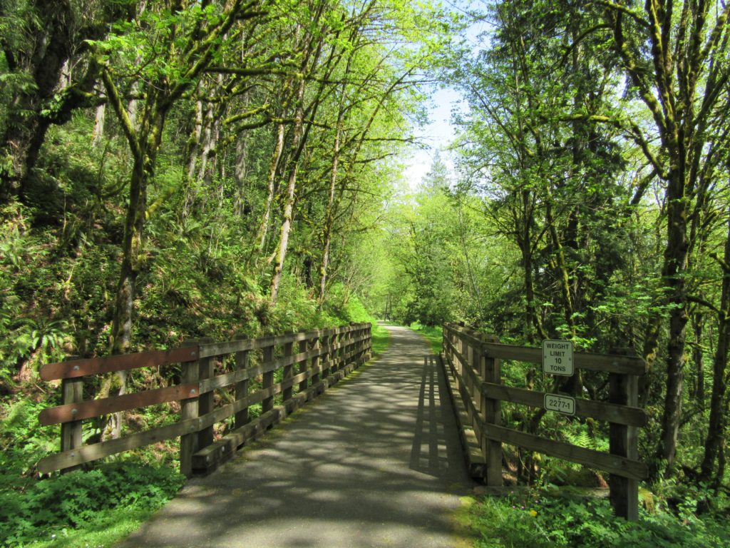
Quick Facts: Location: Preston and Snoqualmie Land Agency: King County Parks Distance: 11.0 miles roundtrip Elevation Gain: 500 feet Contact: King County Parks Notes: dogs on leash Access: From Seattle follow I-90 east to Exit 22. Then turn left on SE 82nd Street, cross freeway and turn right onto SE High Point Way. Drive 0.4…
Read MoreLowell Riverfront Trail—Out of industrial ashes a riverside trail and park are born
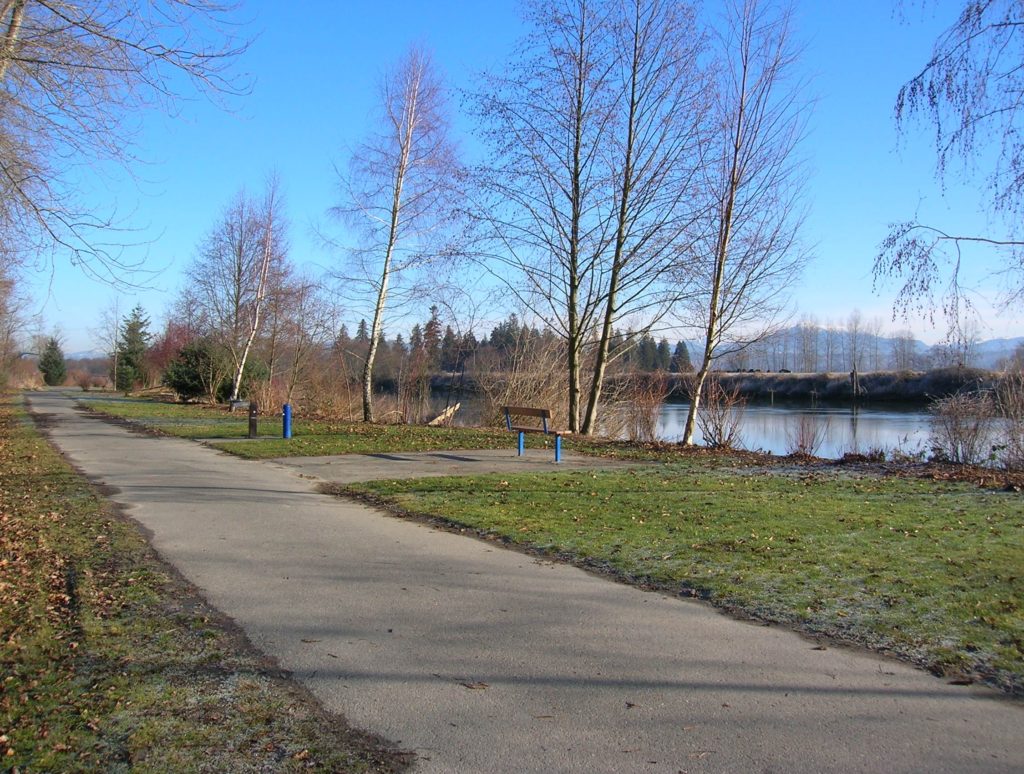
Quick Facts: Location: Lowell neighborhood, city of Everett Land Agency: Everett Parks and Recreation Contact: Everett Parks and Recreation Department Roundtrip: 4.0 miles Elevation Gain: None Access: From Exit 192 on I-5 in Everett head east on 41st Street. Turn right (south) onto 3rd Ave and proceed for 1.2 miles to four-way stop. Turn left onto…
Read MoreTemple Pond—Make a hiking pilgrimage to the Temple of Lord Hill
Quick Facts: Location: Snohomish County near Monroe and Snohomish Land Agency: Snohomish County Parks Roundtrip: 3.7 miles Elevation Gain: 150 feet Access: From the city of Snohomish, exit SR 9 onto 2nd Street. Proceed east for a one mile; then turn right onto Lincoln Ave which becomes the Old Snohomish-Monroe Highway. After 2.7 miles turn…
Read MoreMount Walker–excellent views at the eastern edge of the Olympic Mountains
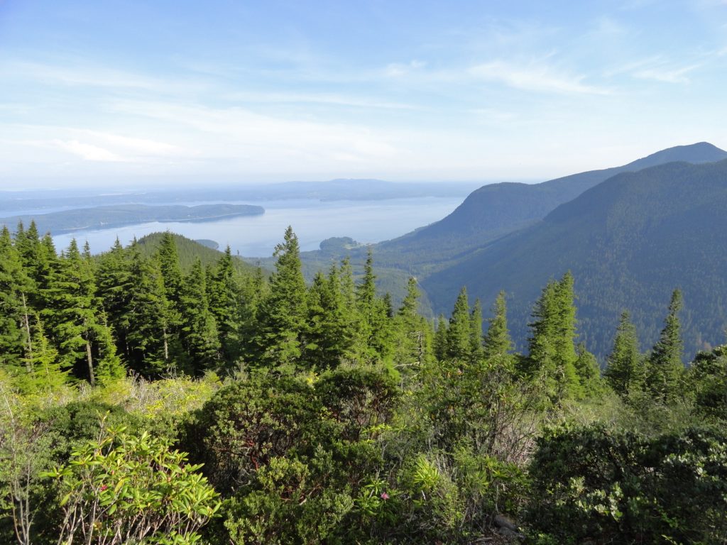
Quick Facts: Location: Northeast Olympic Peninsula Land Agency: Olympic National Forest Roundtrip: 5.0 miles Elevation gain: 2050 feet Contact: Hood Canal Ranger District Green Trails Map: Olympics East no. 168S Notes: In winter the road is gated. Park away from gate and walk .3 mile to trailhead. Recommended Guidebook: Day Hiking Olympic Peninsula 2nd edition (Mountaineers…
Read MoreScarborough Hill─Giant Sitka Spruces at historic fort on the Columbia River
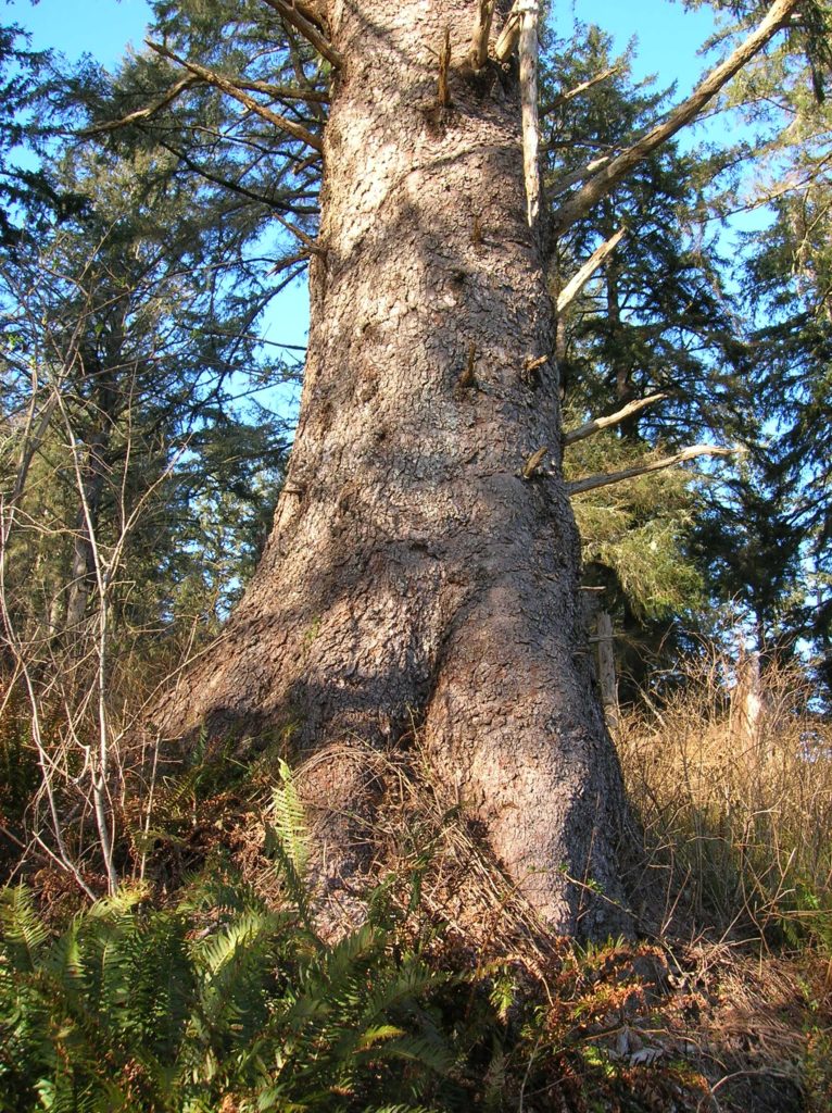
Quick Facts Location: Fort Columbia State Park, Pacific County, WA Land Agency: Washington State Parks Roundtrip: 2.4 miles Elevation Gain: 630 feet Access: From Kelso head west 56 miles on SR 4 to Naselle. Turn left onto SR 401 proceeding 12 miles to a junction with US 101 at the Astoria-Megler Bridge. Continue west on…
Read MoreFort Steilacoom Park — Hike historic grounds to a scenic lake and stellar views of Mount Rainier
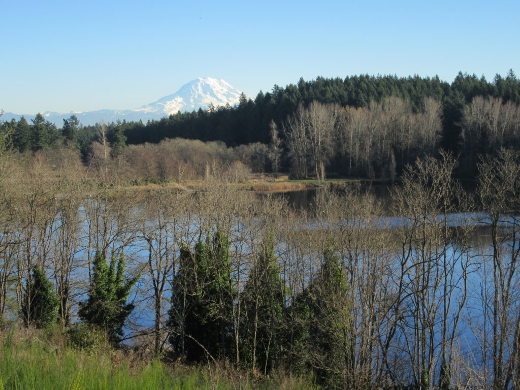
Quick Facts: Location: Lakewood, Pierce County Land Agency: City of Lakewood Parks and Recreation Distance: more than 7.0 miles of trails Elevation Gain: up to 200 feet Contact: City of Lakewood Parks and Recreation Notes: Off-leash dog area and dogs permitted on leash elsewhere in park; park opened 7:30 to 9:00 or Sunset (whichever comes…
Read MoreRanger Hole –Hike to a Historic fishing spot on the Duckabush

Quick Facts: Location: Olympic Peninsula Land Agency: Olympic National Forest Round Trip: 1.9 miles Elevation Gain: 250 feet Contact: Olympic National Forest, Hood Canal Ranger District, Green Trails Map: Green Trails Olympic Mountains East 168S Notes: Northwest Forest Pass required; Be sure to respect the privacy of any guests who may be staying in the…
Read More