Archives
Quick Facts: Location: Mountain Loop Highway, near Granite Falls Land Agency: Mount Baker-Snoqualmie National Forest; Washington State Parks Roundtrip: 4.2 miles Elevation gain: 1,100 feet Green Trails Maps: Mountain Loop Highway 111SX Contact: Darrington Ranger District: Mount Baker-Snoqualmie National Forest Notes: access road is rough, high clearance vehicles recommended. Access:…
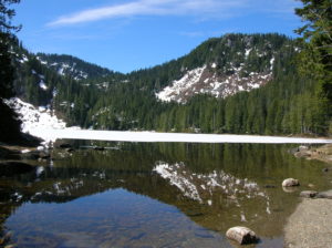
Quick Facts: Location: North Cascades Highway Land Agency: North Cascades National Park Roundtrip: 11.0 miles Elevation Gain: 5,100 feet Green Trails Maps: Diablo, WA-No. 48 Access: From Marblemount, follow the North Cascades Highway (SR 20) east for 20 miles. Turn left onto Diablo Road and proceed 0.7 mile crossing an iron bridge spanning Stetattle Creek. Bear…
Quick Facts: Location: Buckhorn Wilderness, Olympic National Forest Land Agency: National Forest Service Distance: 8.2 miles roundtrip Elevation Gain: 2980 feet Contact: Olympic National Forest, Hood Canal Ranger District, Quilcene, Detailed Information: Day Hiking Olympic Peninsula 3rd edition (Mountaineers Books) Notes: NW Forest Pass or Interagency Pass required; trail open…
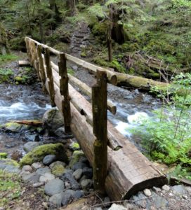
Quick Facts: Location: Icicle River Valley Land Agency: National Forest Service Distance: 4.2 miles roundtrip Elevation Gain: 350 feet Contact: Okanogan-Wenatchee National Forest, Wenatchee River Ranger District, Leavenworth Detailed Information: Day Hiking Central Cascades 2nd edition (Mountaineers Books) Notes: NW Forest Pass or Interagency Pass required; dogs permitted on leash…
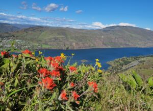
Quick Facts: Location: Columbia River Gorge National Scenic Area Land Agency: Oregon Nature Conservancy and Mayer State Roundtrip: 3.2 miles Elevation Gain: 1,000 feet Notes: Dogs prohibited; Trail closed from Nov 1 through Apr 30 to limit tread damage. Practice Leave No Trace Principles Green Trails Map: Columbia River Gorge…
Quick Facts: Location: Mountain Loop Highway near Granite Falls Land Agency: Mount Baker-Snoqualmie National Forest Roundtrip: 2.0 miles Elevation gain: 300 feet Difficulty: easy (with some rough footing) Green Trails Map: Mountain Loop Highway 111SX Contact: Darrington Ranger District: Mount Baker-Snoqualmie National Forest Access: From Granite Falls, follow the Mountain Loop…
Location: Quilcene Valley, Northeast Olympic Peninsula Land Agency: National Forest Service Roundtrip: 8.4 miles Elevation gain: 2,800 feet Contact: Hood Canal Ranger District Olympic National Forest Guidebook: Day Hiking Olympic Peninsula 3rd Edition) Notes: Practice Leave No Trace Principles Access: From Quilcene drive US 101 south for 1.5 miles turning right onto…
Quick Facts: Location: Lord Hill Regional Park Land Agency: Snohomish County Parks Roundtrip: 2.0 miles Elevation Gain: 250 feet Access: From Monroe, exit SR 522 onto Main Street heading west and immediately coming to a roundabout. Bear right onto Tester Road and proceed 3.0 miles to a T-intersection just after passing under SR 522. Turn…
Quick Facts: Location: North Vancouver, BC Land Agency: Grouse Mountain Regional Park Distance: 1.6 miles (2.5 km) one way Elevation Gain: 2625 feet (800 meters) Contact: Metro Vancouver Regional Parks Detailed Information: Urban Trails Vancouver BC (Mountaineers Books) Notes: Dogs prohibited. Trail generally opened May through October (check hours) and…
Quick Facts: Location: Whidbey Island Land Agency: Washington State Parks Roundtrip: 2.3 miles Elevation Gain: 200 feet Contact: South Whidbey State Park Notes: Discover Pass Required: Dogs must be leashed Access: From the Clinton Ferry Terminal on Whidbey Island follow SR 525 north for 9.4 miles turning left onto Bush Point…