Archive
Mount Fremont–Lookout among herds of mountain goats
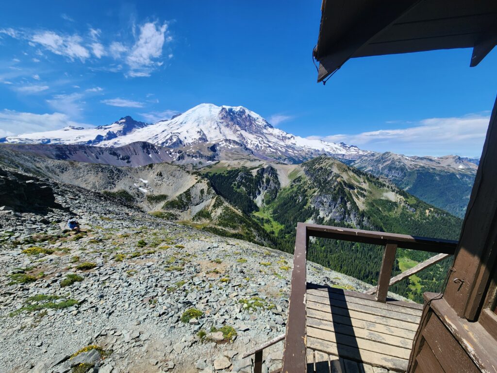
Quick Facts: Location: Mount Rainier National Park Land Agency: National Park Service Round Trip: 5.4 miles Elevation Gain: 900 feet Contact: Mount Rainier National Park Green Trails Maps: Mount Rainier National Park 269S Notes: National Park Entrance Fee or Interagency Pass; Dogs-prohibited Access: From Enumclaw follow SR 410 east for 37.5 miles to Mount Rainier National…
Read MoreTwin Lakes (Monte Cristo) — Follow a rugged old miner’s path to a remote basin
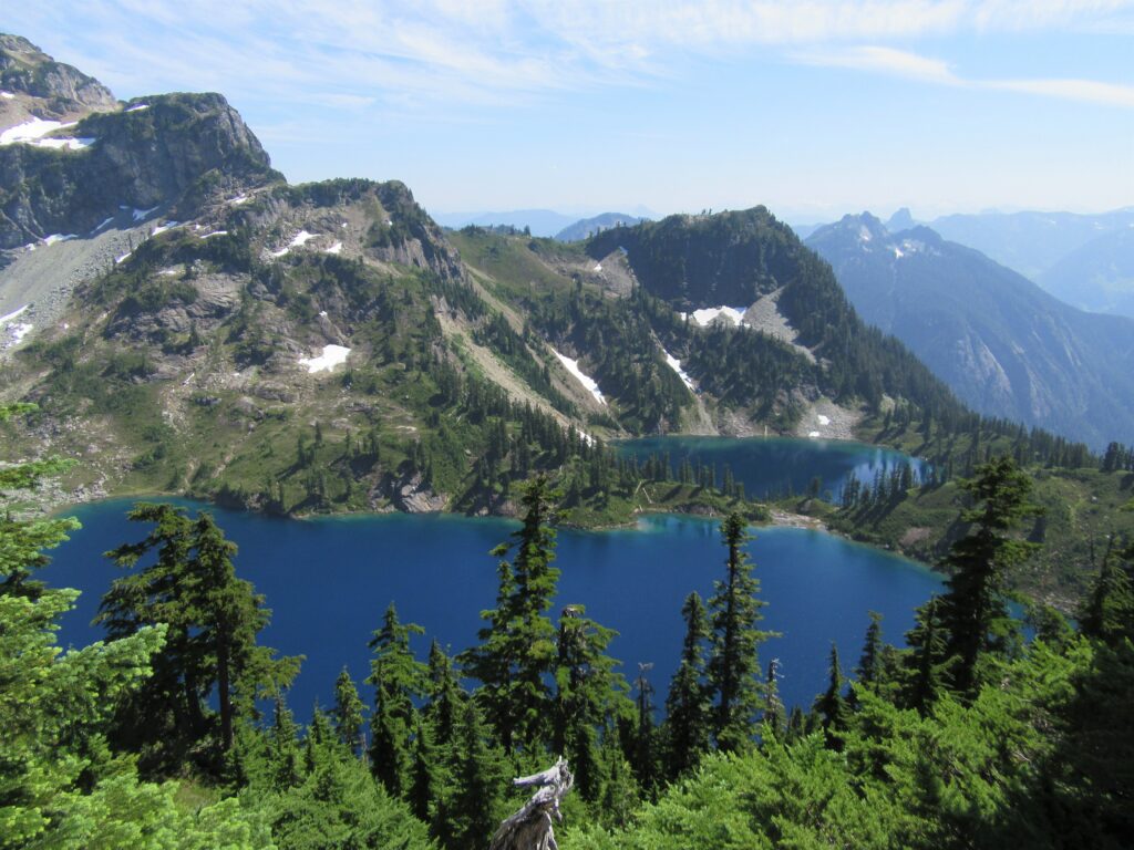
Quick Facts: Location: Mountain Loop Highway near Barlow Pass Land Agency: Mount Baker-Snoqualmie National Forest Roundtrip: 17.0 miles Elevation gain: 3,900 feet Green Trails Map: Mountain Loop Highway no. 111SX Contact: Darrington Ranger District: Mount Baker Snoqualmie National Forest Notes: Northwest Forest Pass or Interagency Pass required; A washout at the Twin Bridges requires…
Read MoreIndependence Lake–A great place to celebrate the 4th of July and the Freedom of the Hills
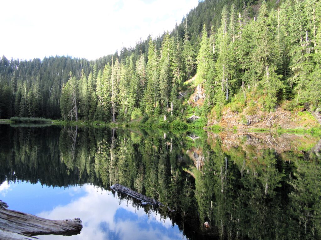
Quick Facts Location: Mountain Loop Highway near Granite Falls Land Agency: Mount Baker-Snoqualmie National Forest Roundtrip: 1.5 miles…
Read MorePinnacle Lake — Pretty little lake perched on a shoulder of Mount Pilchuck
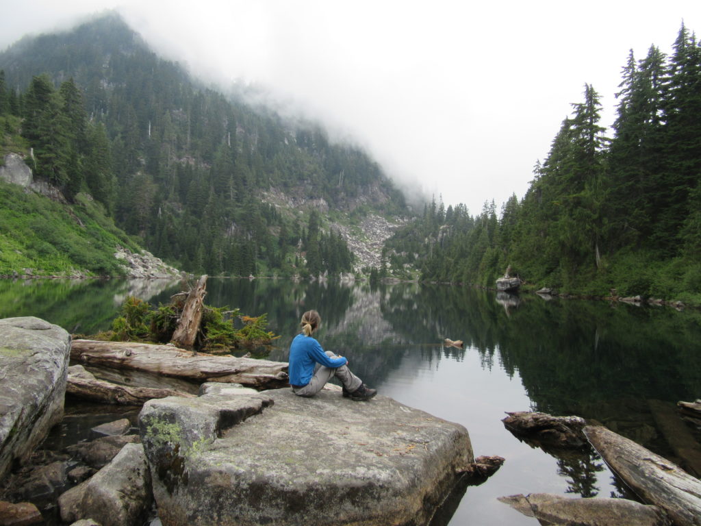
Quick Facts: Location: Mountain Loop Highway, near Granite Falls Land Agency: Mount Baker-Snoqualmie National Forest; Washington State Parks Roundtrip: 4.2 miles Elevation gain: 1,100 feet Green Trails Maps: Mountain Loop Highway 111SX Contact: Darrington Ranger District: Mount Baker-Snoqualmie National Forest Notes: access road is rough, high clearance vehicles recommended. Access: From Granite Falls follow the…
Read MoreSourdough Mountain Lookout–Trail is 5.5 miles long and one mile straight up!
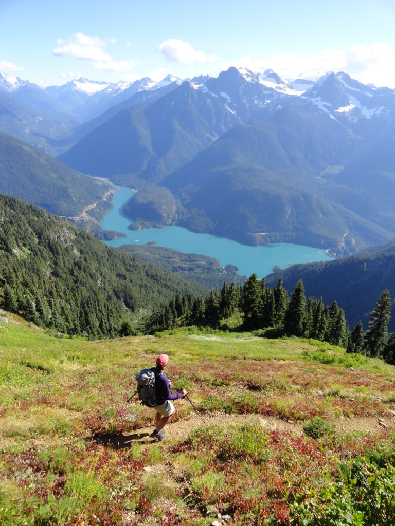
Quick Facts: Location: North Cascades Highway Land Agency: North Cascades National Park Roundtrip: 11.0 miles Elevation Gain: 5,100 feet Green Trails Maps: Diablo, WA-No. 48 Access: From Marblemount, follow the North Cascades Highway (SR 20) east for 20 miles. Turn left onto Diablo Road and proceed 0.7 mile crossing an iron bridge spanning Stetattle Creek. Bear right reaching the trailhead in…
Read MoreMount Townsend– supreme viewing of mountains and sound
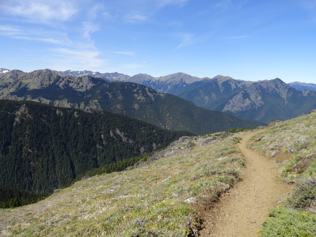
Quick Facts: Location: Buckhorn Wilderness, Olympic National Forest Land Agency: National Forest Service Distance: 8.2 miles roundtrip Elevation Gain: 2980 feet Contact: Olympic National Forest, Hood Canal Ranger District, Quilcene, Detailed Information: Day Hiking Olympic Peninsula 3rd edition (Mountaineers Books) Notes: NW Forest Pass or Interagency Pass required; trail open to horses; wilderness rules apply…
Read MoreIcicle Gorge –Cool Hike for a Hot Day
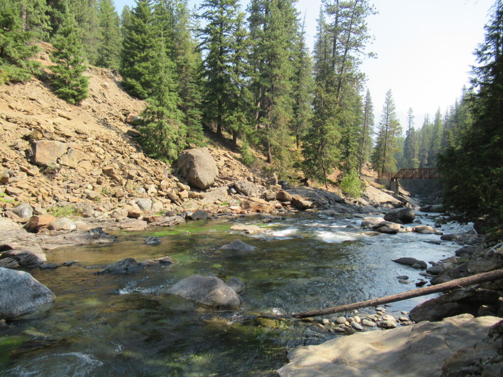
Quick Facts: Location: Icicle River Valley Land Agency: National Forest Service Distance: 4.2 miles roundtrip Elevation Gain: 350 feet Contact: Okanogan-Wenatchee National Forest, Wenatchee River Ranger District, Leavenworth Detailed Information: Day Hiking Central Cascades 2nd edition (Mountaineers Books) Notes: NW Forest Pass or Interagency Pass required; dogs permitted on leash Access: From Leavenworth, follow the…
Read MoreTom McCall Point─Legendary Columbia River Gorge Wildflower Display
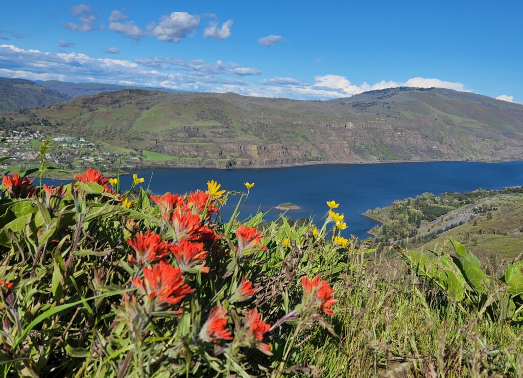
Quick Facts: Location: Columbia River Gorge National Scenic Area Land Agency: Oregon Nature Conservancy and Mayer State Roundtrip: 3.2 miles Elevation Gain: 1,000 feet Notes: Dogs prohibited; Trail closed from Nov 1 through Apr 30 to limit tread damage. Practice Leave No Trace Principles Green Trails Map: Columbia River Gorge East No. 432S Contact: Oregon…
Read MoreLake Evan and Boardman Lake–Enjoy an easy hike to two family friendly lakes
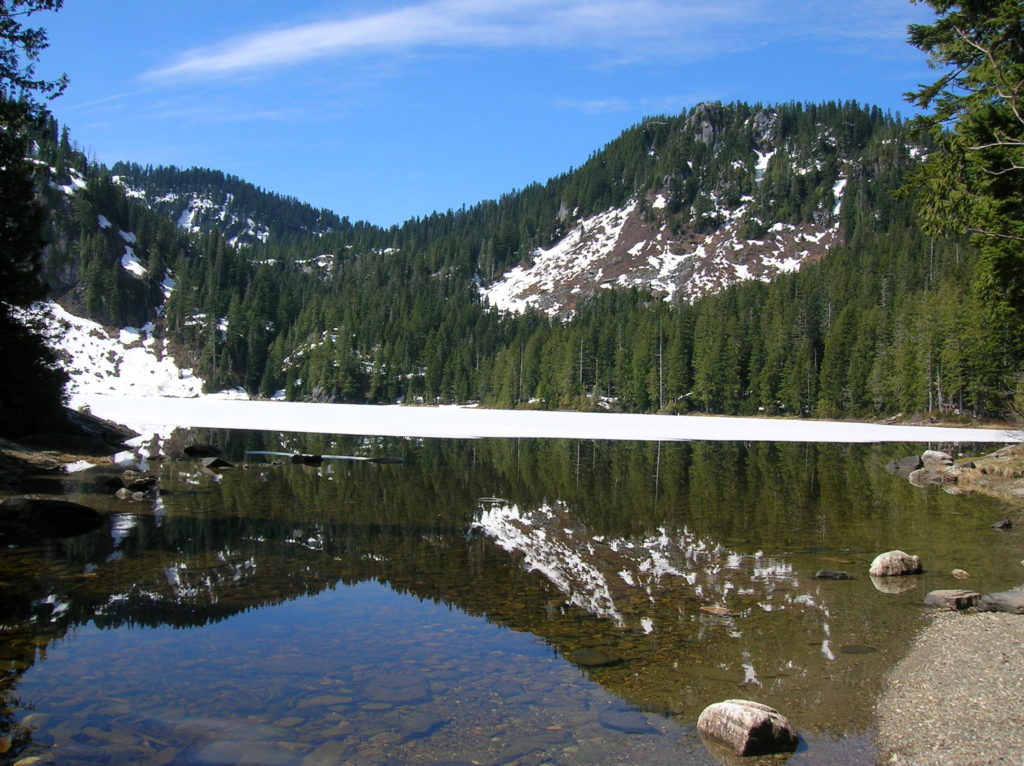
Quick Facts: Location: Mountain Loop Highway near Granite Falls Land Agency: Mount Baker-Snoqualmie National Forest Roundtrip: 2.0 miles Elevation gain: 300 feet Difficulty: easy (with some rough footing) Green Trails Map: Mountain Loop Highway 111SX Contact: Darrington Ranger District: Mount Baker-Snoqualmie National Forest Access: From Granite Falls, follow the Mountain Loop Highway east to the Verlot…
Read MoreNotch Pass–Hike through history over Quilcene Ridge
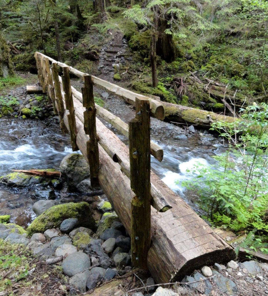
Location: Quilcene Valley, Northeast Olympic Peninsula Land Agency: National Forest Service Roundtrip: 8.4 miles Elevation gain: 2,800 feet Contact: Hood Canal Ranger District Olympic National Forest Guidebook: Day Hiking Olympic Peninsula 3rd Edition) Notes: Practice Leave No Trace Principles Access: From Quilcene drive US 101 south for 1.5 miles turning right onto Penny Creek Road. After 1.5…
Read More