Backpacking Washington
Fryingpan Lake
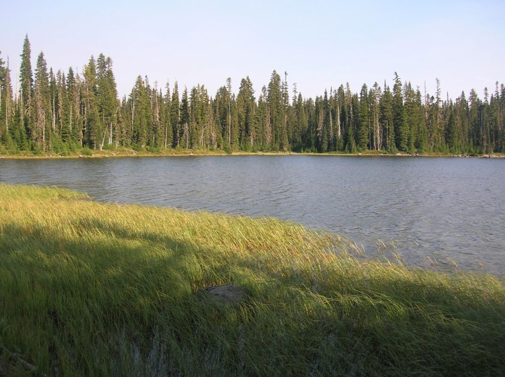
Onto the Trail and into a lovely lake setting Quick Facts: Location: William O. Douglas Wilderness Land Agency: National Forest Service Distance: 11.9 miles Elevation Gain: 2000 feet Contact: Naches Ranger District Gifford Pinchot National Forest Green Trails Map: Green Trails, White Pass, No. 303S Notes: Northwest Forest or Interagency Pass required; Overnight Permits required;…
Read MoreDishpan Gap—Crimson carpets at the headwaters of the Sky!
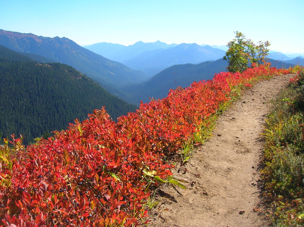
Quick Facts: Location: North Fork Skykomish River Valley Land Agency: Mount Baker-Snoqualmie National Forest Roundtrip: 17.4 miles Elevation Gain: 3,100 feet Contact: Skykomish Ranger District: Mount Baker-Snoqualmie National Forest Green Trails Map: Monte Cristo- No. 143, Benchmark Mtn- No. 144 Special Note: Northwest Forest Pass or Interagency Pass required; wilderness rules apply Access: From Everett…
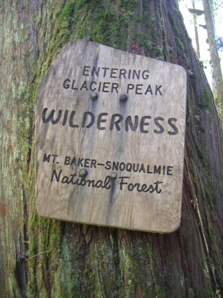
Read MoreRed Pass─High Portal to Glacier Peak
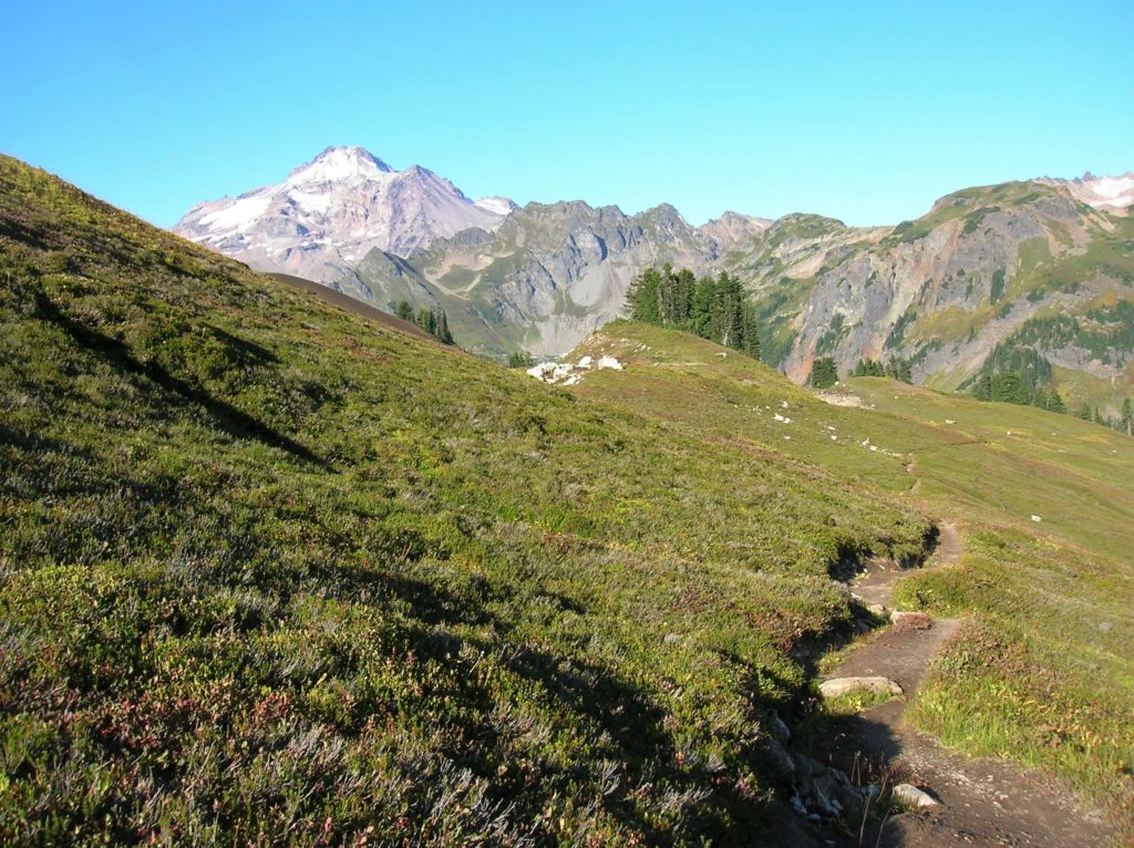
Quick Facts: Location: North Fork Sauk River Land Agency: Mount Baker-Snoqualmie National Forest Roundtrip: 20.6 miles Elevation Gain: 4,300 feet Contact: Darrington Ranger District: Mount Baker Snoqualmie National Forest (360) 436-1155; www.fs.fed.us/r6/mbs Green Trails Map: Mountain Loop Highway 111SX Special Note: Northwest Trail Pass required. Access: From Darrington, travel south on the Mountain Loop Highway…
Read MoreJefferson Cove─A great place to go forth on the Fourth!
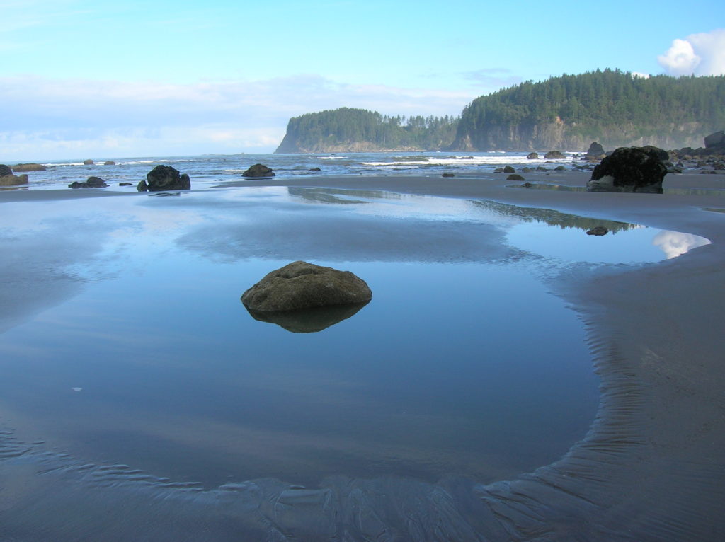
Quick Facts: Location: Olympic Coast, Olympic National Park Land Agency: National Park Service Roundtrip: 5.0 miles Elevation Gain: minimal Green Trails Map: La Push No. 163S Note: Dogs prohibited; Check tides – can only be done in a low tide; permits required to camp. Access: From Forks travel south on US 101 for 15 miles…
Read MoreBlue Lake and Johnson Mountain–divine ridge walking

Quick Facts: Location: Mountain Loop Highway near Darrington Land Agency: Mount Baker-Snoqualmie National Forest Roundtrip: 28.3 miles Elevation Gain: 6,725 feet Green Trails Maps: Mountain Loop Highway 111SX Recommended Guidebook: Backpacking Washington (Romano; Mountaineers Books) Access: From Darrington, head south on the Mountain Loop Highway 16.0 miles turning left onto FR 49. Follow for 6.4 miles bearing…
Read MoreSkyscraper Mountain–Enjoy sweeping views of Rainier from this towering summit
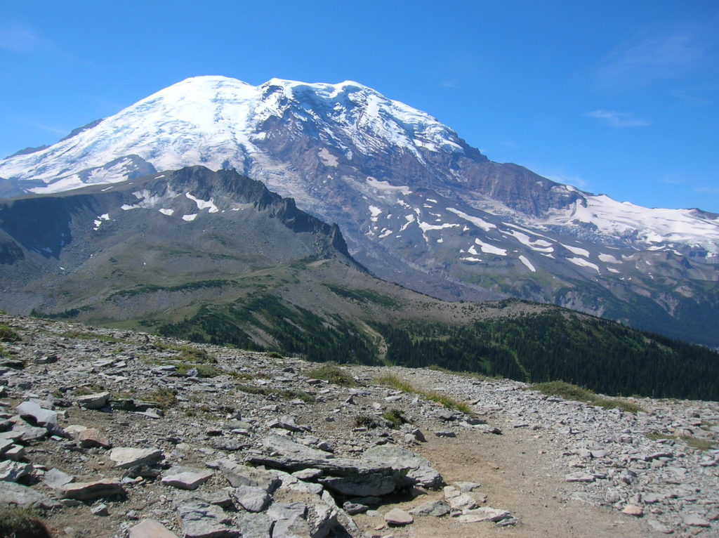
Location: Mount Rainier National Park Land Agency: National Park Service Roundtrip: 7.0 miles High Point: 7,078 feet Elevation gain: 1,500 feet Difficulty: moderate Green Trails Map: Mount Rainier Wonderland Map 269S Contact: Mount Rainier National Park Note: Park entrance fee; dogs prohibited Access: From Enumclaw, follow SR 410 east to Sunrise Road. Turn right and…
Read MoreNorth Fork Sauk River — Walk among ancient giants
Quick Facts: Location: Mountain Loop Highway Land Agency: Mount Baker-Snoqualmie National Forest Roundtrip: 11.6 miles Elevation gain: 900 feet Green Trails Maps: Mountain Loop Highway Map 111SX Contact: Darrington Ranger District: Mount Baker Snoqualmie National Forest Guidebook Resource: Day Hiking North Cascades (Mountaineers Books) Notes: NW Forest Pass or Interagency Pass required Access: From Darrington,…
Read More