Best Spring Hikes
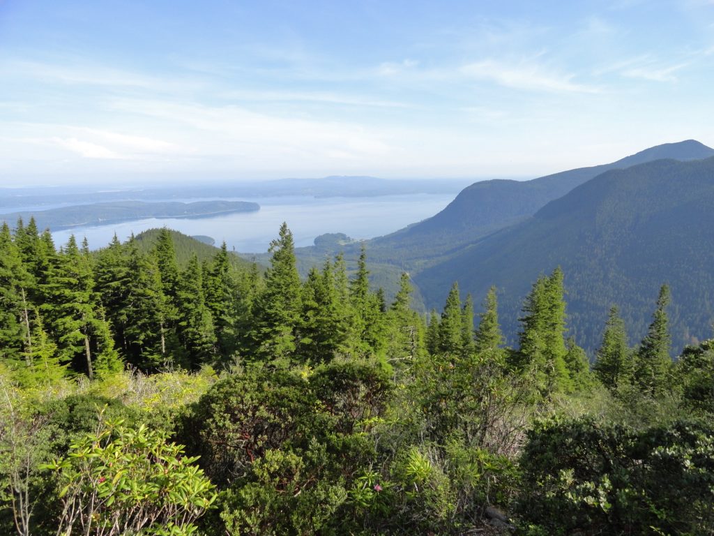
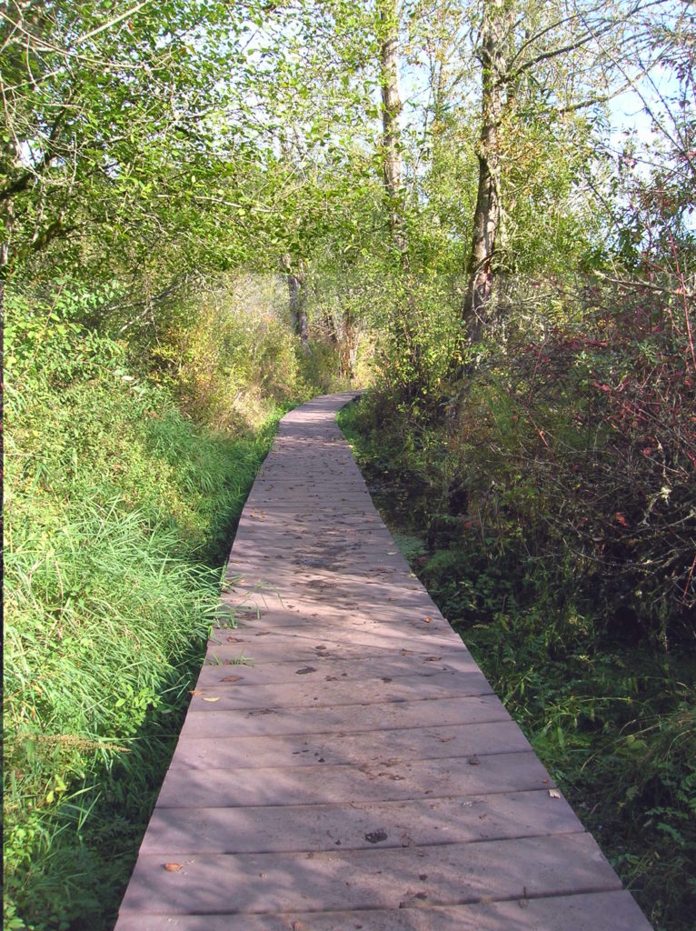
Sugarloaf — Savor Sweet Salish Sea Views
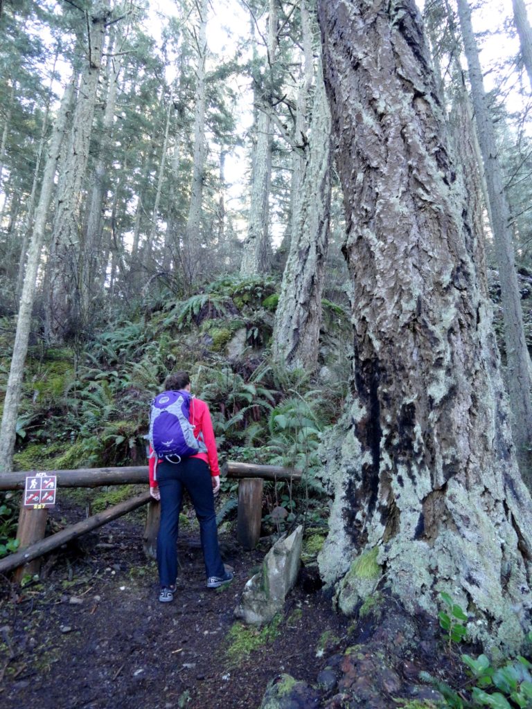
Quick Facts: Location: Anacortes, Fidalgo Island Land Agency: Anacortes Community Forest Lands Roundtrip: 2.5 miles Elevation gain: 650 feet Contact: Anacortes Parks and Recreation Notes: dogs permitted on leash; some trails open to bicycles, horses. Access: From Exit 230 on I-5 in Burlington, head west on SR 20 for 13.5 miles. Turn right onto…
Read MoreMount Walker–excellent views at the eastern edge of the Olympic Mountains
Quick Facts: Location: Northeast Olympic Peninsula Land Agency: Olympic National Forest Roundtrip: 5.0 miles Elevation gain: 2050 feet Contact: Hood Canal Ranger District Green Trails Map: Olympics East no. 168S Notes: In winter the road is gated. Park away from gate and walk .3 mile to trailhead. Recommended Guidebook: Day Hiking Olympic Peninsula 2nd edition (Mountaineers…
Read MoreScarborough Hill─Giant Sitka Spruces at historic fort on the Columbia River
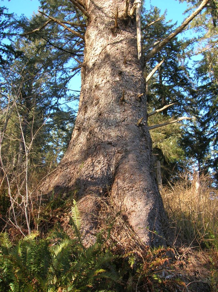
Quick Facts Location: Fort Columbia State Park, Pacific County, WA Land Agency: Washington State Parks Roundtrip: 2.4 miles Elevation Gain: 630 feet Access: From Kelso head west 56 miles on SR 4 to Naselle. Turn left onto SR 401 proceeding 12 miles to a junction with US 101 at the Astoria-Megler Bridge. Continue west on…
Read MoreTrail of Ten Falls–Hike through a canyon of thundering cascades!
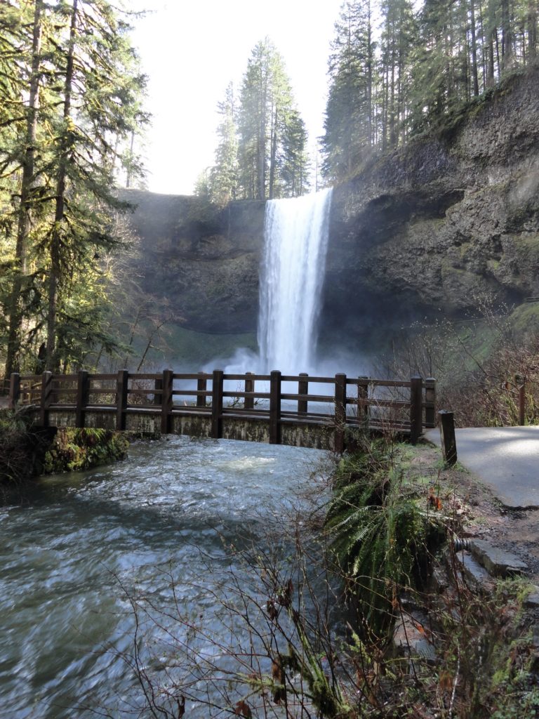
Quick Facts: Location: Silver Falls State Park near Silverton, Oregon Land Agency: Oregon State Parks Distance: 7.2 miles Elevation Gain: 600 feet Contact: Silver Falls State Park Notes: Dogs prohibited; $5.00 per vehicle entrance fee Access: From Salem, Oregon follow SR 22 east from I-5 for 5 miles to Exit 7. Then follow SR 214…
Read MoreMillersylvania State Park─Amble among ancient trees just minutes from Olympia
Quick Facts: Location: Thurston County Land Agency: Washington State Parks Roundtrip: 3.0 miles Elevation Gain: 75 feet Contact: Washington State Parks Recommended Resource: Urban Trails Olympia Notes: Discover Pass required; Dogs must be leashed. Access: From Olympia, head south on I-5 to Exit 99. Continue southeast on SR 121 for 4.2 miles. Turn right (west) into main…
Read MoreCatherine Creek Rock Arch–A touch of Utah in the Northwest!
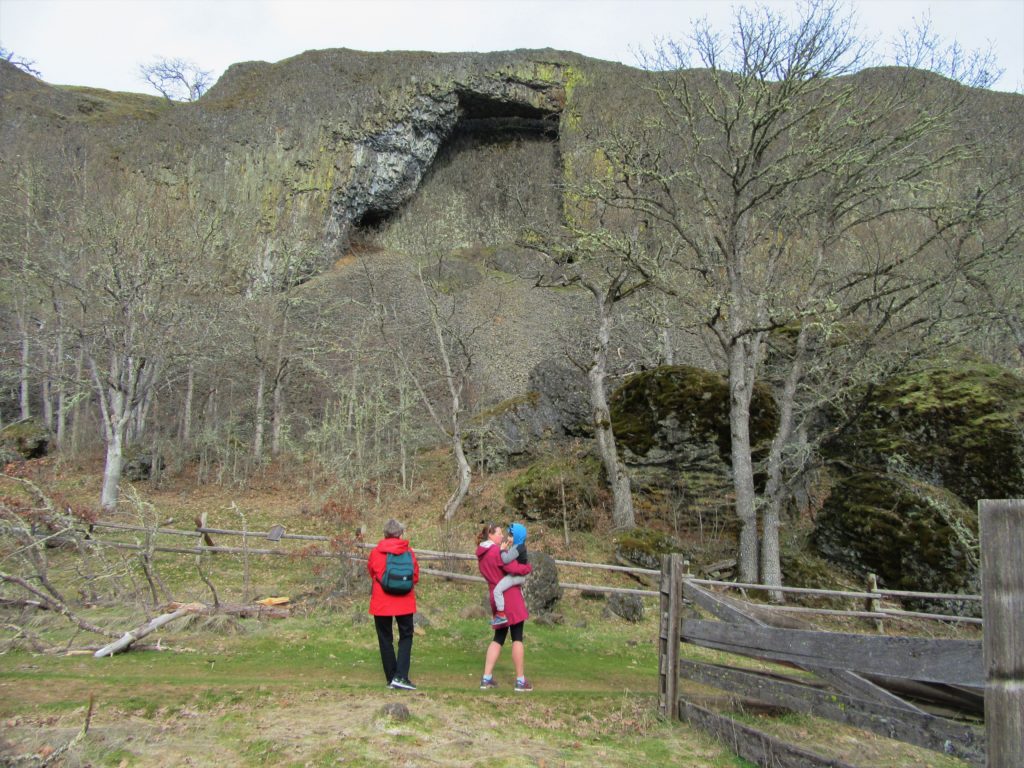
Location: Columbia River Gorge National Scenic Area Land Agency: Columbia Gorge National Scenic Area Roundtrip: 2.3 miles Elevation gain: 370 feet Difficulty: Easy Contact: Columbia Gorge National Scenic Area Notes: Dogs permitted on leash. Be aware or ticks and poison oak. Green Trails Map: Columbia River Gorge East No. 432S Good to Know: kid-friendly, dog-friendly…
Read MoreGreenbank Farm–Plow through an array of family and dog friendly trails
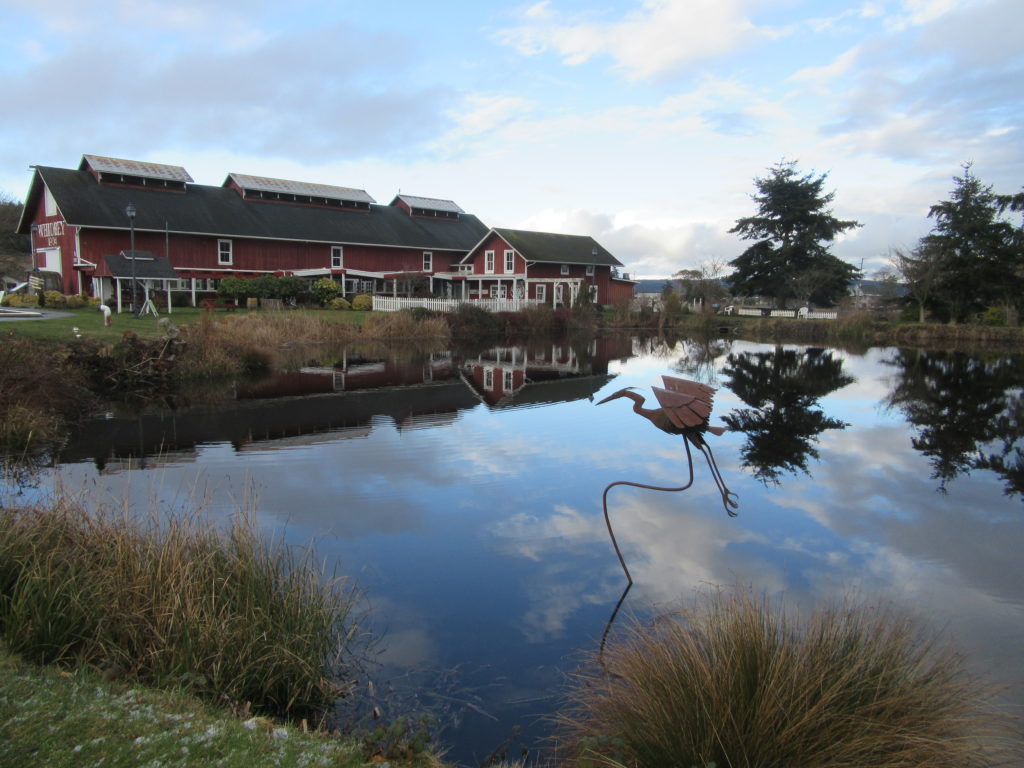
Quick Facts: Location: Whidbey Island Land Agency: Port of Coupeville Roundtrip: more than 4.0 miles of trails High Point: 300 feet Elevation gain: up to 280 feet Contact: Port of Coupeville Recommended Resource: Urban Trails Everett (Mountaineers Books) Notes: Some trails are open to equestrians; some trails are in an off-leash dog area Access: From Clinton Ferry Terminal on Whidbey…
Read MoreThirteenmile Canyon– Wander one of wildest wilderness canyons in Eastern Washington
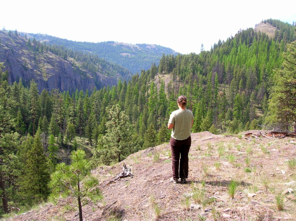
Location: Colville National Forest, Ferry County, Wa Land Agency: National Forest Service Roundtrip: 9.0 miles Elevation gain: 1,700 feet Contact: Colville National Forest, Republic Ranger District Notes: beware of rattlesnakes Access: From Republic follow SR 21 south 12.3 miles to trailhead located just within the Colville Indian Reservation Boundary. If coming from Wilbur, follow SR…
Read MorePoint Colville– Rugged coastal headland on Lopez Island

Quick Facts: Location: Lopez Island Land Agency: San Juan Islands National Monument Roundtrip: 2.2 miles Elevation Gain: 180 feet Contact: Bureau of Land Management Detailed Information: Day Hiking The San Juans and Gulf Islands (Mountaineers Books) Notes: Dogs permitted on leash; coastal cliffs—keep children nearby Access: From Anacortes, take Washington State Ferry to Lopez Island Landing. Follow Ferry…
Read MoreSilver Falls Loop– Thundering Waterfall at Rainier’s Ohanapecosh
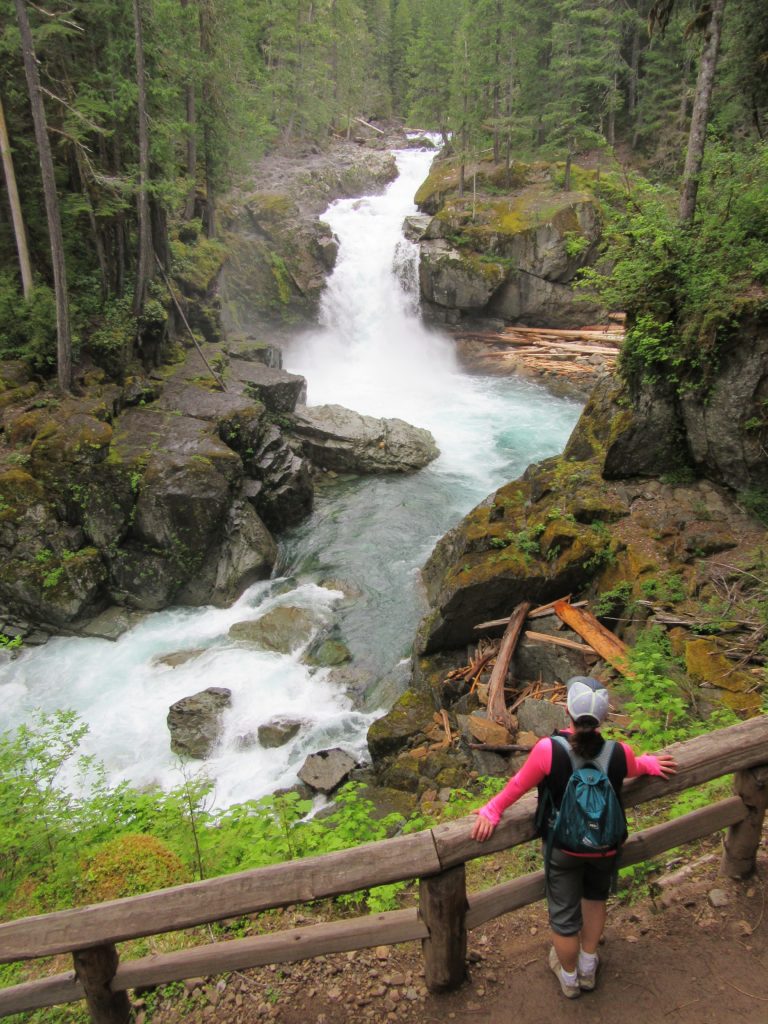
Quick Facts: Location: Ohanapecosh Land Agency: Mount Rainier National Park Roundtrip: 2.7 miles Elevation Gain: 350 feet Contact: Mount Rainier National Park Detailed Information: Day Hiking Mount Rainier (Mountaineers Books) Green Trails Map: Mount Rainier National Park 269S Notes: National Park Entrance Fee or Interagency Pass required; dog prohibited Access: From Packwood, follow US 12 east for 7.5…
Read More