Best Spring Hikes
Lake Padden Park- big trees and placid lake minutes from bustling Bellingham
Quick Facts: Location: Bellingham Distance: more than 9.0 miles of trails Elevation Gain: up to 600 feet Contact: City of Bellingham Park Map: Square One Maps Chuckanut Recreation Area Notes: on-leash and off-leash trails Trailhead directions: From Bellingham follow I-5 south to Fairhaven Exit 252. Then continue south on Samish Way for 2.3 miles turning…
Read MoreDockton Forest and Maury Island Natural Area — Explore Vashon Island’s grand park
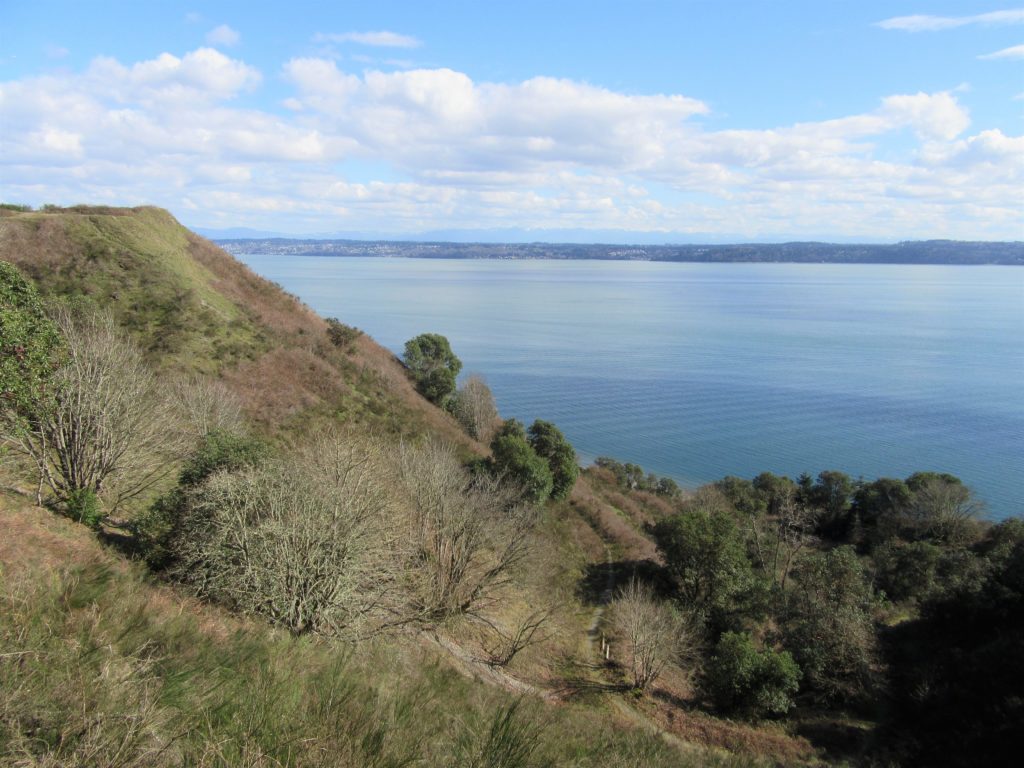
Quick Facts: Location: Vashon Island Land Agency: King County Parks Round Trip: More than 10 miles of trails Elevation Gain: up to 450 feet Contact: King County Parks Detailed Information: Urban Trails Seattle (Mountaineers Books) Notes: Dogs allowed on leash Access: From Seattle take Washington State Ferry from Fauntleroy (West Seattle) to Vashon Island Ferry…
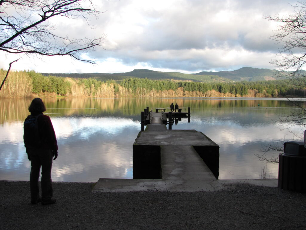
Read MoreSquaxin Park─ Make it your mission to hike this park
Quick Facts: Location: Olympia, Washington Land Agency: City of Olympia Parks and Recreation Roundtrip: 2.5 miles Elevation Gain: 300 feet Notes: Dogs must be on a leash. Access: From Lacey, follow I-5 south to Olympia taking Exit 105B to Plum Street. From Tumwater, follow I-5 north to Olympia taking Exit 105. Turn right onto Henderson…
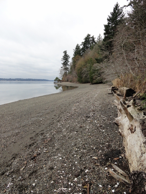
Read MoreCranberry Lake Trail—A sweet little hike on Camano Island
Quick Facts: Location: Camano Island Land Agency: Washington State Parks Roundtrip: 2.2 miles Elevation Gain: 125 feet Contact: Cama Beach State Park Notes: Discover Pass required; Dogs must be leashed Recommended Guidebook: Urban Trails Everett (Mountaineers Books) Access: From Exit 212 on I-5, travel west on SR 532 to Camano Island to a junction at 10.0 miles.…
Read MoreSultan River Canyon Trail
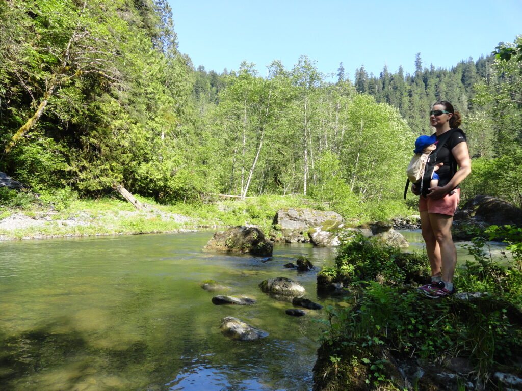
A near yet remote canyon housing big trees and a wild stretch of river Quick Facts: Location: Sultan Basin Land Agency: Snohomish County Public Utility District Roundtrip: 4.4 miles Elevation Gain: 850 feet Green Trails Map: Mountain Loop Highway 111SX Access: From Everett follow US 2 east to Sultan. At a traffic light just past Milepost 23 turn left onto…
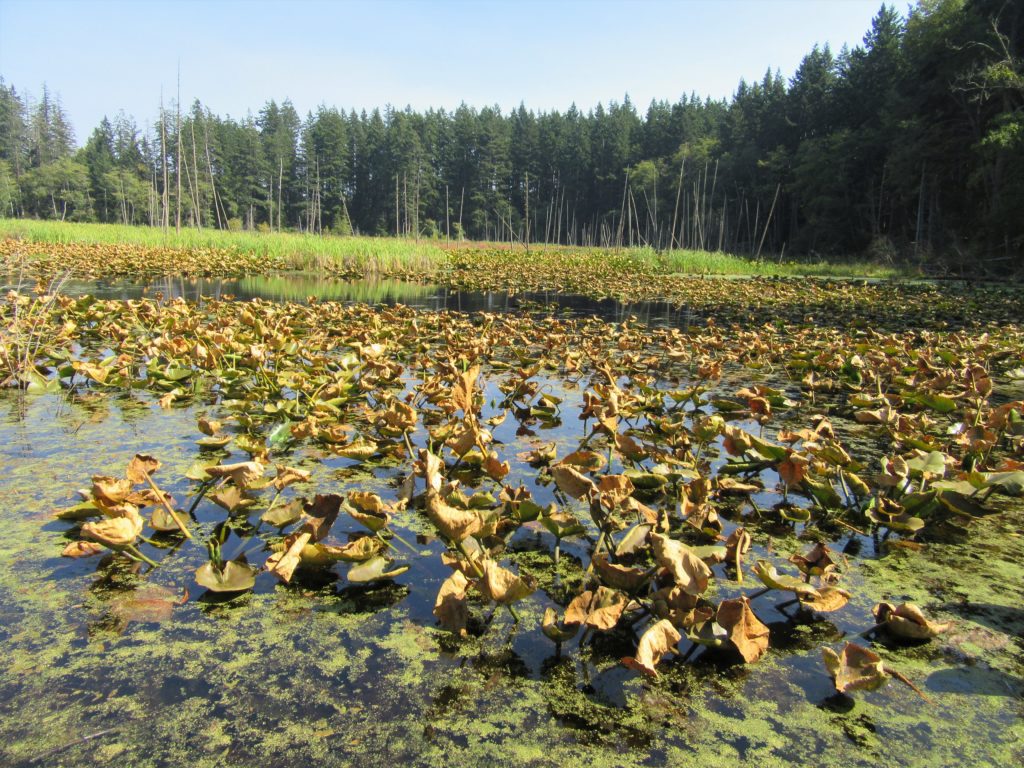
Read MoreMoss Lake Natural Area
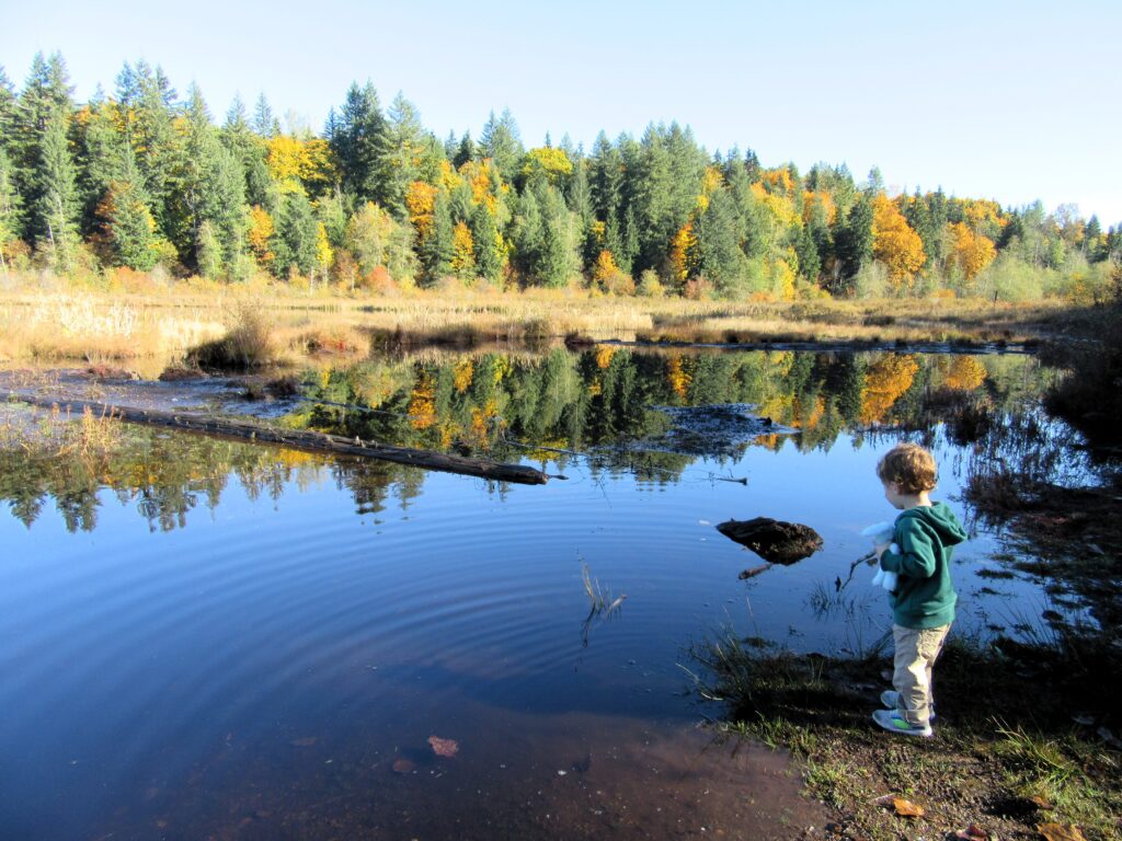
Extensive peat bog teem with flora and fauna Quick Facts: Location: Snoqualmie Valley Distance: 3.0 miles of trails Elevation Gain: minimal Contact: King County Parks Recommended Guidebook: Urban Trails Eastside (Mountaineers Books) Notes: dogs welcome on leash Trailhead directions: Use your phone App to map to Moss Lake Natural Area 35646 NE Moss Lake Rd,…
Read MoreDiablo Lake– Hell of a lake, but not a devil of a hike
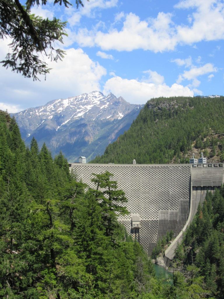
Quick Facts: Location: North Cascades Highway Land Agency: Ross Lake National Recreation Area Roundtrip: 7.6 miles Elevation Gain: 1400 feet Contact: North Cascades National Park Detailed Information: Day Hiking North Cascades 2nd edition (Mountaineers Books) Notes: Dogs must be leashed. Access road gated at 4:15 pm during winter Access: From Marblemount follow SR 20 east for 21.5 miles.…
Read MoreBoulder River- waterfalls among old-growth forest

Quick Facts: Location: Boulder River Wilderness, near Darrington Land Agency: National Forest Service Round trip: 8.6 miles Elevation Gain: 750 feet Green Trails Maps: Mountain Loop Highway 111SX Access: From Arlington follow SR 530 for 20 miles. Just beyond Milepost 41 near a subdivision turn right onto FR 2010 and continue for 3.7 miles to trailhead. Contact:…
Read MoreLower Big Quilcene River─Lowland hike teems with primeval beauty
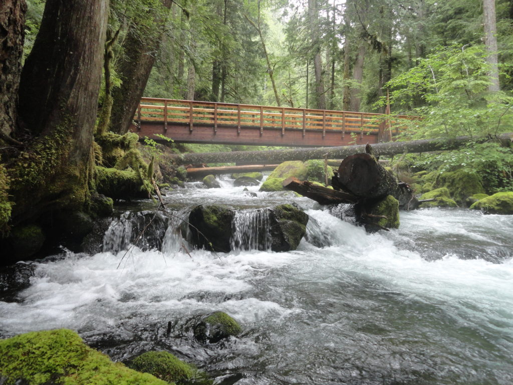
Quick Facts: Location: Olympic National Forest, Hood Canal District Land Agency: National Forest Service Roundtrip: To Camp Jolly 10.2 miles Green Trails Map: Olympic Mountains East 168SX Elevation Gain: 800 feet Contact: Hood Canal District, Quilcene Good to Know: kid-friendly, dog-friendly, open to mountain bikes, backpacking opportunities, old-growth, exceptional rhodies, Practice Leave No Trace Principles Access: From…
Read MoreOzette Triangle–Classic Olympic Coast Hike packed with surprises
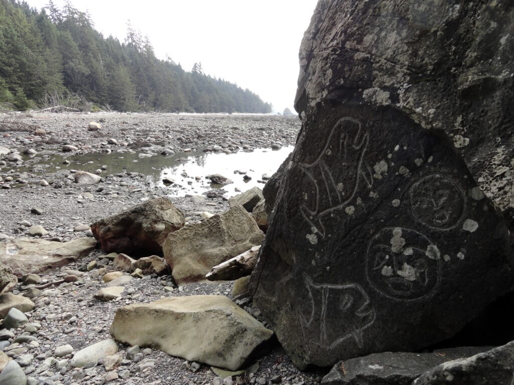
Quick Facts: Location: Olympic Coast Land Agency: Olympic National Park Roundtrip: 9.4 miles Elevation Gain: 400 feet Notes: National Park entry fee; dogs prohibited; coastal section can be difficult during high tides. Green Trails Map: Olympic Coast 99S Contact: Olympic National Park Access: From Port Angeles, follow US 101 west for 5 miles to SR 112. Continue on…
Read More