Best Spring Hikes
Skagit Wildlife Area—Headquarters Unit
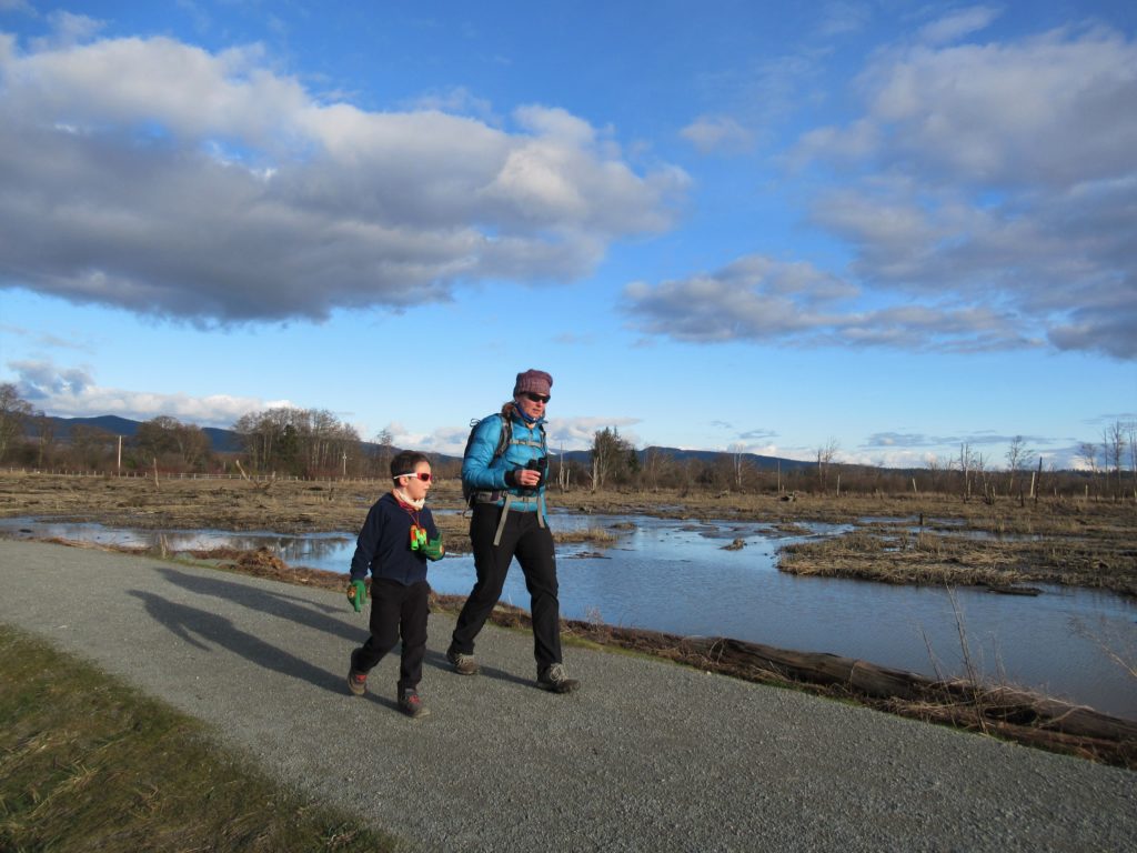
Supreme birdwatching on the Skagit River Delta Quick Facts: Location: Fir Island, Skagit County Land Agency: Washington Department of Fish and Wildlife (WDFW) Round Trip: 1.9 miles of trails Elevation Gain: minimal Contact: Washington Department of Fish and Wildlife (WDFW) Detailed Information: Urban Trails Bellingham (Mountaineers Books) Notes: Discover Pass or WDFW Vehicle Access Pass…
Read MoreIceberg Point — Maritime scenery will leave you frozen in astonishment
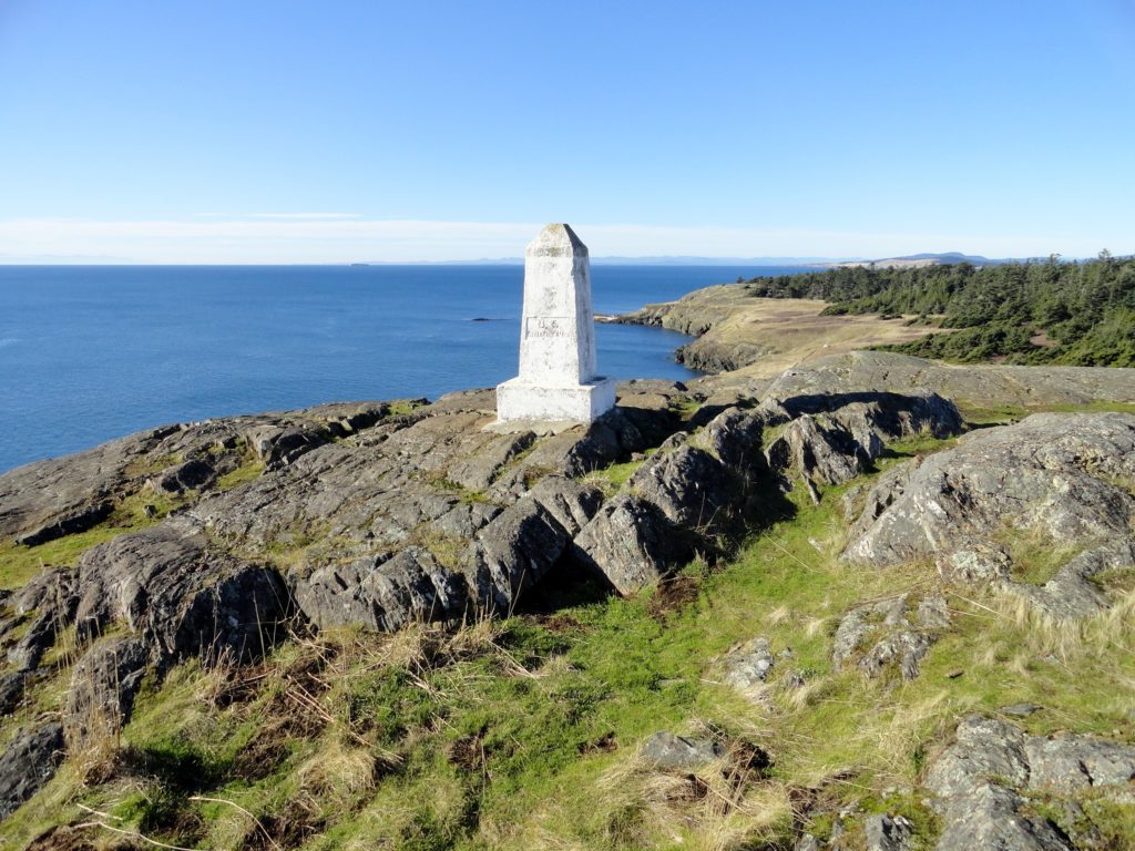
Quick Facts: Location: San Juan Islands National Monument Land Agency: Bureau of Land Managment Roundtrip: 3.8 miles Elevation gain: 380 feet Contact: San Juan Islands National Monument, Spokane District Office BLM Notes: Dogs permitted on leash; do not park beyond Agate Beach Park; access is via private property which owners have generously granted permission—stay on…
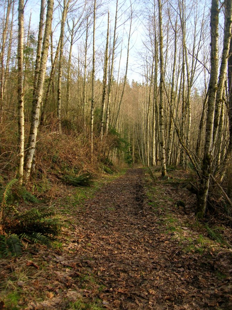
Read MoreSoaring Eagle Regional Park- take a sleigh ride!
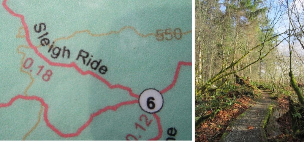
Quick Facts: Location: Sammamish Plateau Land Agency: King County Parks Distance: more than 12.0 miles of trails Elevation Gain: up to 325 feet Contact: King County Parks Notes: dogs permitted on leash; trails also open to horses and mountain bikes Map: Click Here Recommended Guidebook: Urban Trails Eastside (Mountaineers Books) Access: From Bellevue follow SR…
Read MoreDevil’s Butte–A Frightful name but delightful hike in Lord Hill Park
Quick Facts Location: Lord Hill Park near Snohomish Land Agency: Snohomish County Parks Roundtrip: 3.5 miles High Point: 650 feet Elevation gain: 400 feet Difficulty: moderate Contact: Snohomish County Parks Notes: Dogs must be on leash; trails open to bikes and horses Access: From the city of Snohomish, exit SR 9 onto 2nd Street. Proceed…
Read MoreMoulton Falls
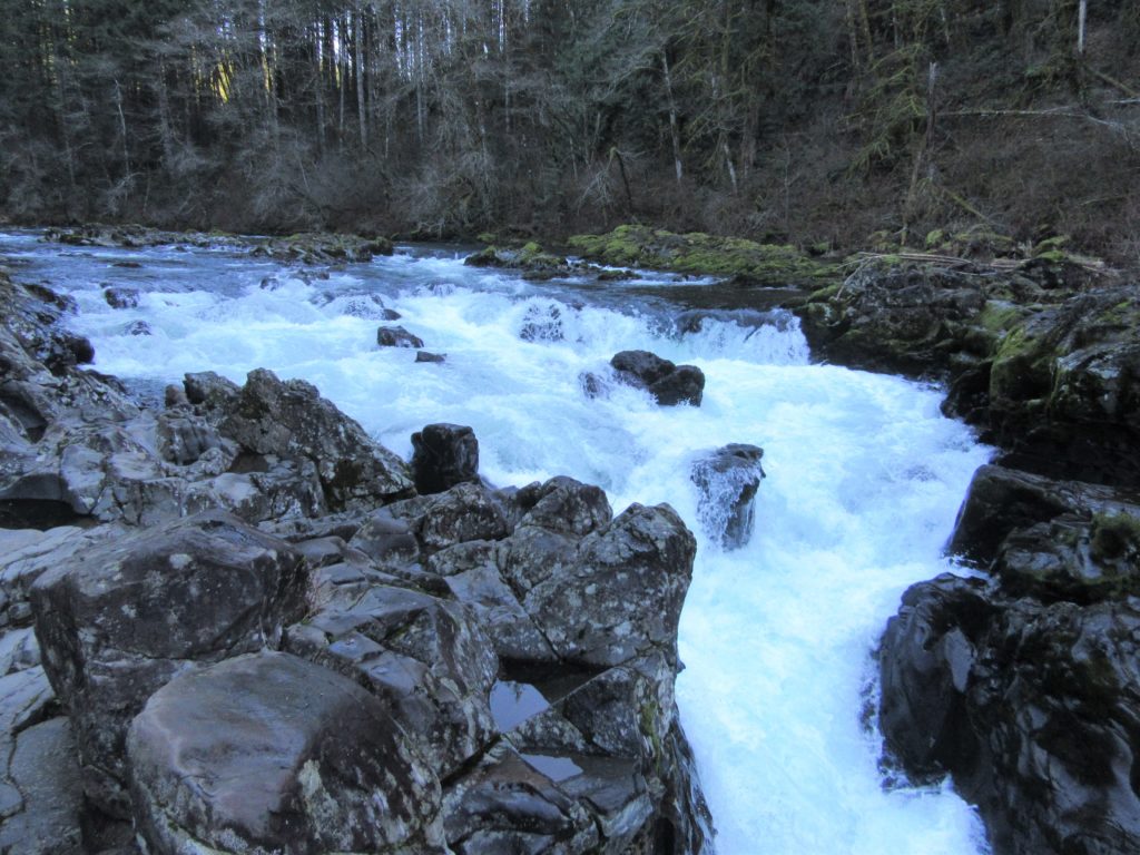
Walk along a wild river to an impressive set of rapids Quick Facts: Location: Clark County, WA Land Agency: Clark County Parks Roundtrip: 5.4 miles Elevation Gain: 200 feet Access: From Vancouver head north on I-5 to Exit 11 following SR 502 east for 6.0 miles to Battle Ground. Turn left onto SR 503 and…
Read MoreMargaret’s Way to Debbie’s View
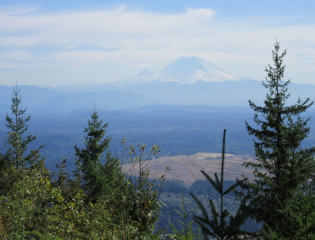
Excellent views on the quiet Issaquah Alp Quick Facts: Location: Squak Mountain, Issaquah Alps Land Agency: King County Parks, Washington State Parks Distance: 7.0 miles Elevation Gain: 1600 feet Contact: Squak Mountain State Park and King County Parks Green Trails Map: Green Trails Cougar Mtn/ Squak Mtn No. 203S Notes: dogs permitted on leash Recommended…
Read MoreThunder Creek– Stroll alongside a tumultuous creek through a striking old-growth forest
Quick Facts: Location: Ross Lake National Recreation Area Land Agency: United States National Park Service Distance: 12.0 miles Elevation Gain: 750 feet Contact: North Cascades National Park Complex Green Trails Map: North Cascades Ross Lake 16SX Notes: Dogs permitted on leash, permits required for camping Access: From Marblemount drive State Route 20 east for 24…
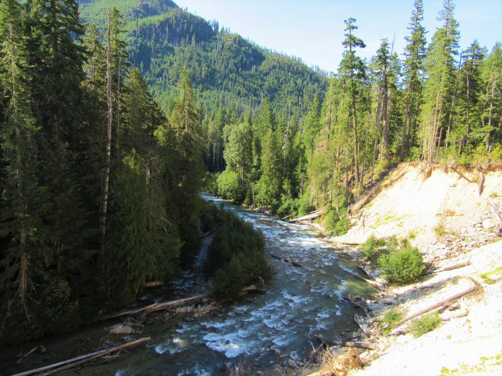
Read MoreLower Gray Wolf River– A nice place to hang out with the pack

Quick Facts: Location: Northeast Olympic Peninsula Land Agency: Olympic National Forest Roundtrip: 7.0 miles Elevation gain: 900 feet Contact: Hood Canal Ranger District, Quilcene Green Trails Map: Olympic Mountains East no. 168SX Notes: wilderness rules apply Recommended Guidebook: Day Hiking Olympic Peninsula Good to Know: dog-friendly; kid-friendly; easy backpacking options, Buckhorn Wilderness Access: From US…
Read MoreHamilton Mountain — Breathtaking views from above Beacon Rock
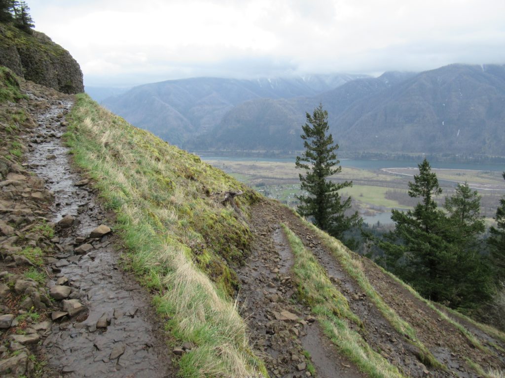
Quick Facts: Location: Beacon Rock State Park, Columbia River Gorge National Scenic Area Land Agency: Washington State Parks Roundtrip: 7.5 miles Elevation gain: 2,100 feet Contact: Beacon Rock State Park Notes: Discover Pass required; Dogs permitted on leash. Green Trails Map: Columbia River Gorge West No. 428S Recommended Guidebooks: Day Hiking Columbia River Gorge, 100…
Read MoreMount Pisgah–Hike to a promising land of spectacular wildflowers
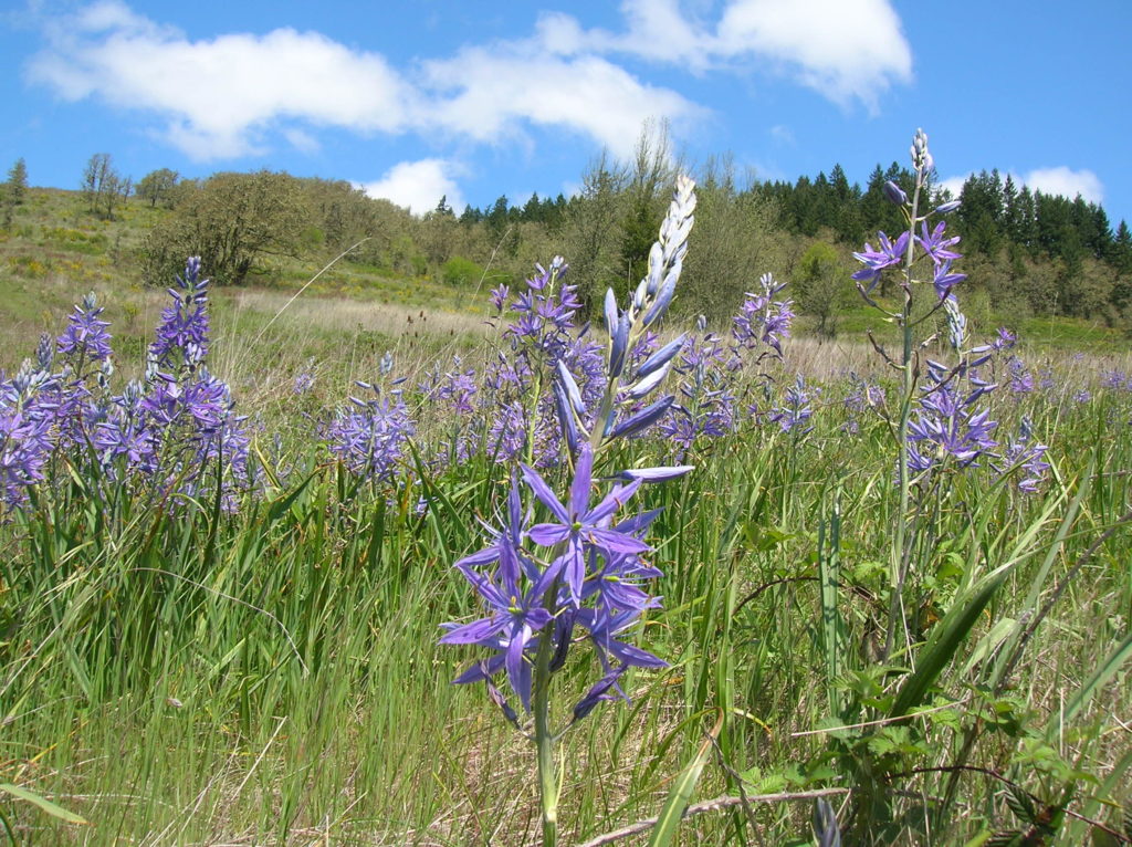
Quick Facts: Location: Willamette Valley south of Eugene Land Agency: Lane County Parks Roundtrip: 3.0 miles Elevation gain: 1,050 feet Map: Park map available online Contact: Friends of Buford Park and Mount Pisgah Notes: $5.00 day use fee; dogs must be leashed Access: From Eugene follow Franklin Blvd (Exit 189 I-5 southbound or Exit 188B northbound…
Read More