Bird Watching
Warrior Rock Lighthouse─A scenic and historic hike on Oregon’s largest island
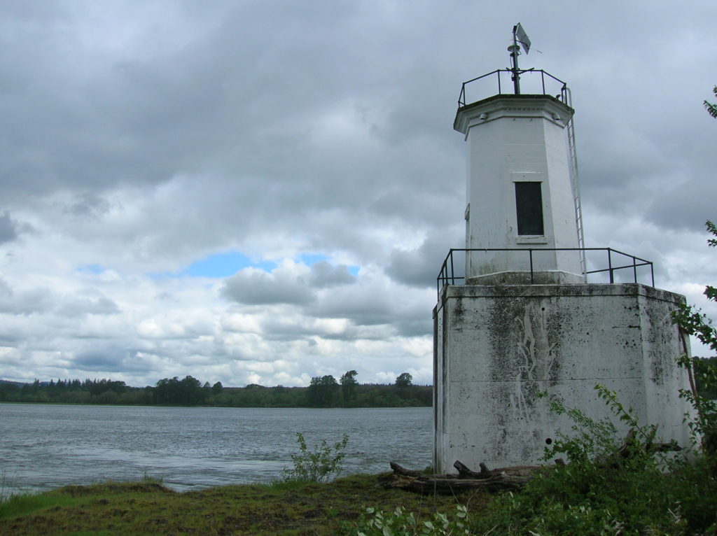
Quick Facts: Location: Sauvie Island (Portland, Oregon) Land Agency: Oregon Department of Fish and Wildlife Roundtrip: 6.5 miles Elevation Gain: 10 feet Access: From downtown Portland, follow US 30 west for just shy of 11 miles turning right onto the Sauvie Island Bridge. Follow Sauvie Island Road passing Cracker Barrel Grocery in .3 mile (where…
Read MoreTheler Wetlands─Enjoy the sounds and smells of spring at Hood Canal
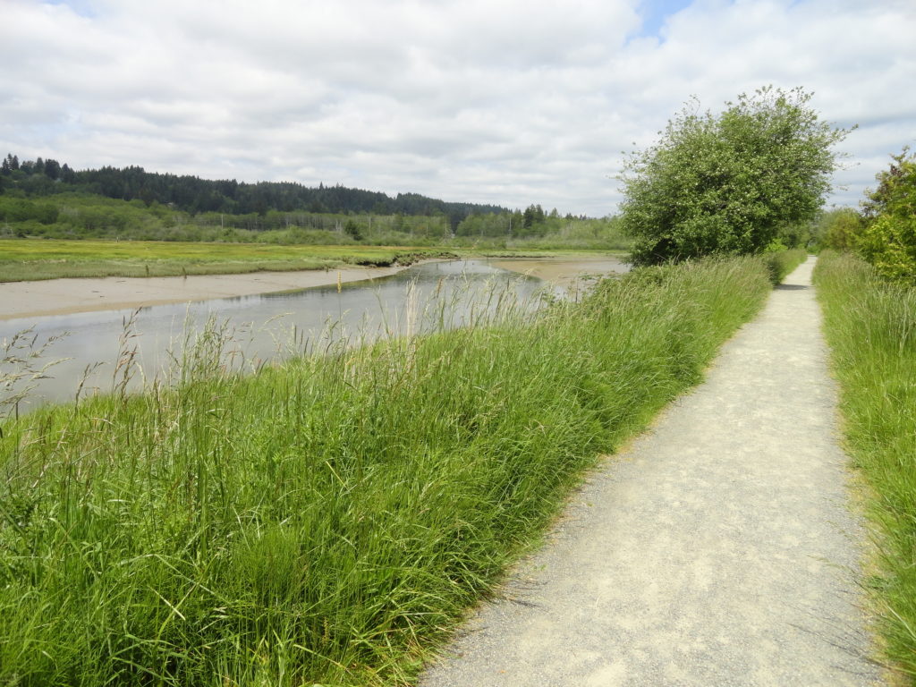
Quick Facts: Location: Kitsap Peninsula Land Agency: City of Belfair, Washington Distance: 3.0 miles of trails Elevation Gain: 40 feet Recommended Resource: Urban Trails Kitsap Notes: Trail open dawn to dusk. Dogs are prohibited. Access: From Bremerton head west on SR 3 to Belfair. Proceed one mile beyond the junction with SR 300 to the…
Read MoreJacobs Point Park
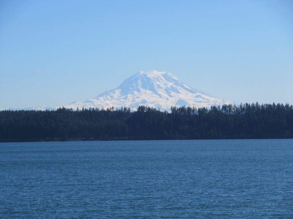
Park rich with views, history, and wildlife on Oro Bay Quick Facts: Location: Anderson Island Land Agency: Anderson Island Park and Recreation Department Round Trip: 2.5 mile loop Elevation Gain: minimal Contact: Anderson Island Park and Recreation Department Detailed Information: Urban Trails Tacoma (Mountaineers Books) Notes: Dogs prohibited Access: From Steilacoom–Anderson Island Ferry terminal take…
Read MoreScriber Lake–Wetland Wonder in the heart of Lynnwood
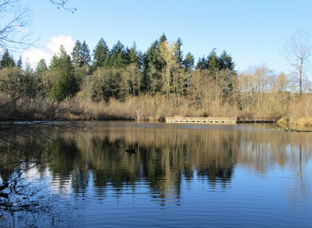
Quick Facts: Location: Lynnwood Land Agency: City of Lynnwood Parks and Recreation Roundtrip: 1.2 miles Elevation gain: none Difficulty: Easy Contact: Lynnwood Parks and Recreation Department; (425-771-4030) Notes: Dogs must be leashed Access: From Seattle take I-5 to exit 181. Turn left onto 44th Ave NW. At third light turn left onto SR 524 (196th…
Read MoreSkagit Wildlife Area—Headquarters Unit
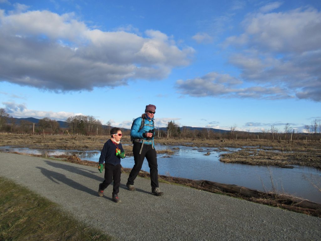
Supreme birdwatching on the Skagit River Delta Quick Facts: Location: Fir Island, Skagit County Land Agency: Washington Department of Fish and Wildlife (WDFW) Round Trip: 1.9 miles of trails Elevation Gain: minimal Contact: Washington Department of Fish and Wildlife (WDFW) Detailed Information: Urban Trails Bellingham (Mountaineers Books) Notes: Discover Pass or WDFW Vehicle Access Pass…
Read MoreIceberg Point — Maritime scenery will leave you frozen in astonishment
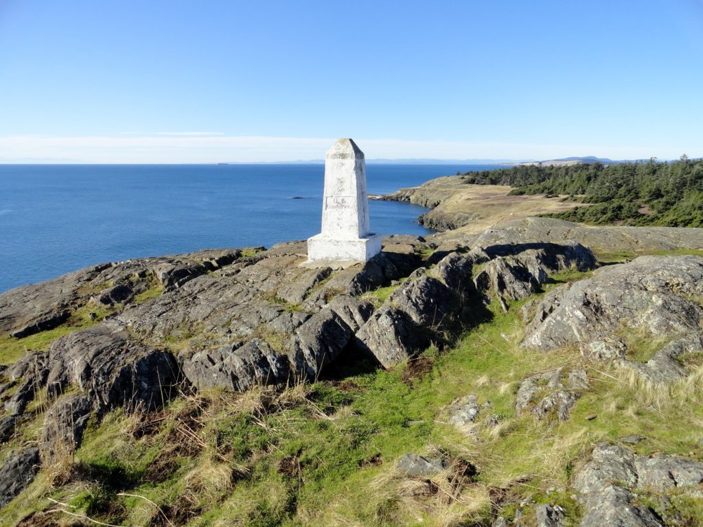
Quick Facts: Location: San Juan Islands National Monument Land Agency: Bureau of Land Managment Roundtrip: 3.8 miles Elevation gain: 380 feet Contact: San Juan Islands National Monument, Spokane District Office BLM Notes: Dogs permitted on leash; do not park beyond Agate Beach Park; access is via private property which owners have generously granted permission—stay on…
Read MoreHole in the Wall–walk a wilderness beach to a big natural arch

Quick Facts: Location: Olympic Peninsula Coast Land Agency: Olympic National Park Roundtrip: 4.0 miles Green Trails Map: Olympic Beaches 99S Elevation Gain: None Contact: Olympic National Park Access: From Forks, drive west on SR 110 to Quillayute Prairie. Here SR 110 splits. Bear right (Mora Road), and drive 5.0 miles to the trailhead at road’s end.…
Read MoreOsprey Trails — Saunter through wildlife habitat along the Sultan River
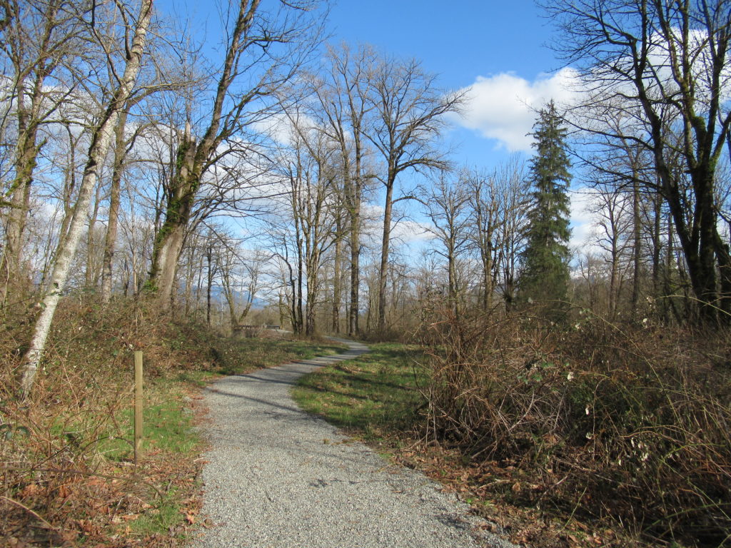
Quick Facts: Location: Sultan, Snohomish County Land Agency: City of Sultan Roundtrip: 2.0 miles Elevation Gain: level Access: From Everett, follow US 2 east to Sultan. Turn left onto 3rd Street and drive 0.6 mile north. Then turn left onto High Street and continue 0.1 mile to Osprey Park. Contact: City of Sultan Notes: Dogs permitted on leash Good to…
Read MoreFort Flagler Loop─Old defense post now protects undeveloped Puget Sound coastline
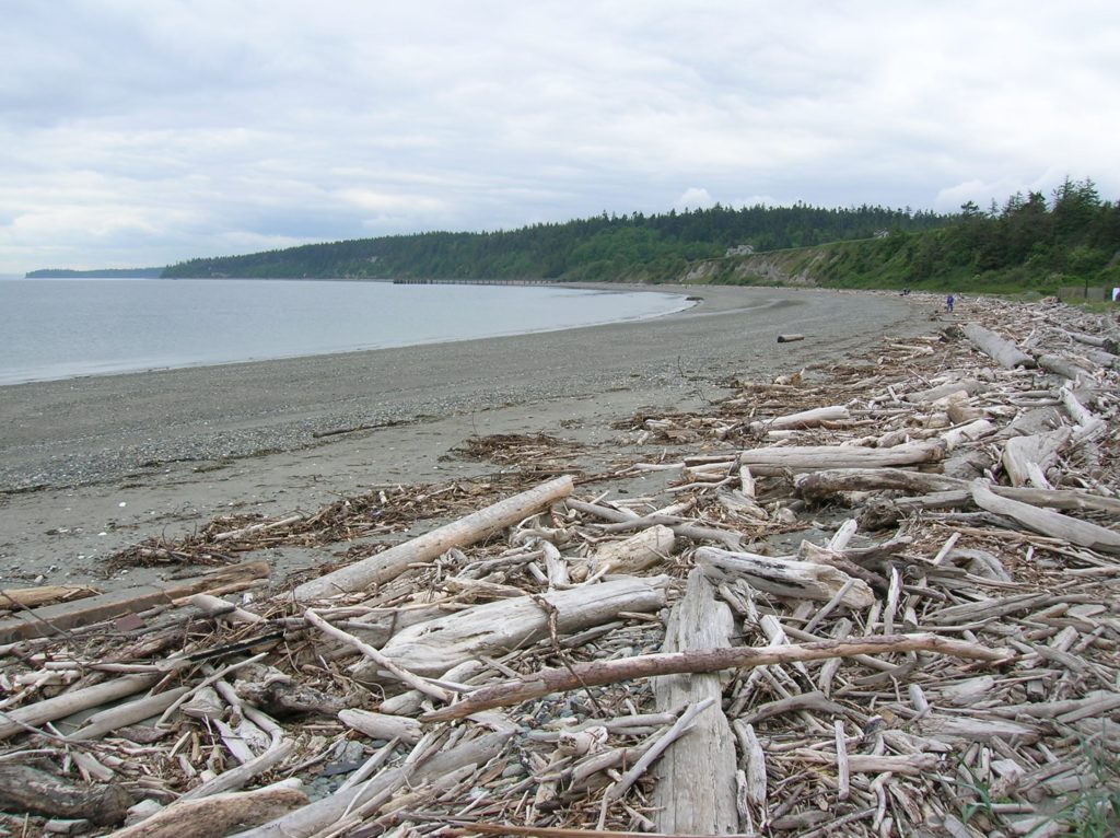
Quick Facts: Location: Marrowstone Island Land Agency: Washington State Parks Contact: Fort Flagler State Park Roundtrip: 5.6 miles Elevation Gain: 200 feet Access: From Kingston Ferry Terminal, follow SR 104 west for 15 miles turning right onto SR 19. Continue north for 9 miles to Chimicum turning right onto Irondale Road and proceeding 1.6 miles…
Read MoreBob Heirman Wildlife Preserve at Thomas’ Eddy – Swans, steelhead, and serenity on the Snohomish River

Quick Facts: Location: Snohomish River, south of Snohomish Land Agency: Snohomish County Parks Roundtrip: 1.5 miles Elevation Gain: 50 feet Contact: Snohomish County Parks and Recreation Special Note: Dogs prohibited. Trails can flood during rainy period. Expect wet and muddy trails. Access: From the city of Snohomish, travel south on SR 9 for 2.6 miles…
Read More