Bird Watching
Crab Creek: Columbia National Wildlife Refuge–Come join the sandhill cranes for their festival!
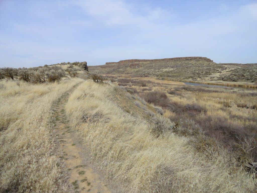
Quick Facts: Location: Columbia National Wildlife Refuge near Othello Land Agency: US Fish and Wildlife Service Roundtrip: 2.6 miles Elevation gain: 40 feet Contact: Columbia National Wildlife Refuge Notes: Dogs permitted on leash. Access: From Ellensburg take I-90 east to Exit 137. Then follow SR 26 for 25 miles east turning left onto SR 262.…
Read MoreCheam Lake Wetlands–Birding hotspot where the North Cascades meet the Fraser River
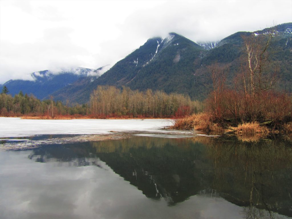
Quick Facts: Location: Popkum, Fraser Valley Regional District, BC Land Agency: Fraser Valley Regional Parks Round Trip: 2.5 miles (4.0 km) roundtrip Elevation Gain: minimal Contact: Fraser Valley Regional Parks Notes: Dogs prohibited Access: From Vancouver, BC follow Trans-Canada Highway 1 east to Exit 138 (12 miles /20 kilometers east of Chilliwack). Turn left and…
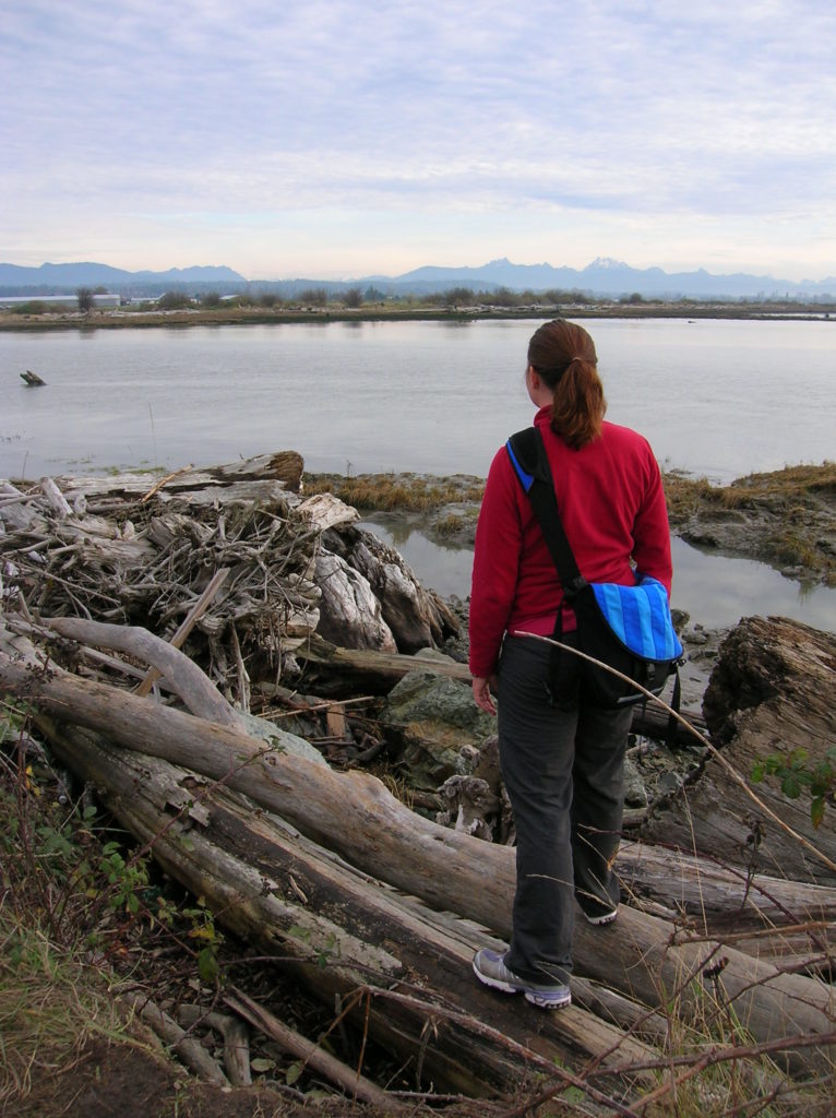
Read MoreHertz Trail –Hike along a wild shoreline of Lake Whatcom
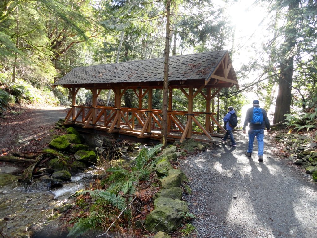
Quick Facts: Location: western Whatcom County, near Bellingham Land Agency: Whatcom County Parks Round Trip: 6.2 miles roundtrip Elevation Gain: 60 feet Contact: Whatcom County Parks Detailed Information: Urban Trails Bellingham (Mountaineers Books) Notes: Dogs allowed on leash Access: From Bellingham follow I-5 to Exit 253. Then follow Lakeway Drive east for 1.7 miles bearing…
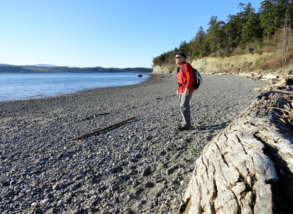
Read MoreHoyt Beach–Shoreline of solitude at the Mouth of the Sekiu River
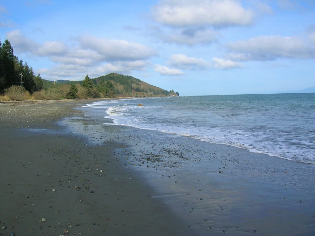
Location: Northwest Olympic Peninsula Land Agency: Washington State Parks Roundtrip: 2.0 miles High Point: sea level Elevation gain: none Contact: Washington State Parks Notes: Discover Pass required; Dogs permitted on leash Access: From Port Angeles, head west of US 101 for 5 miles. Turn right onto SR 112 and follow west for 46 miles to Clallam…
Read MorePadilla Bay Dike Trail–shore fine hike in the Skagit Valley
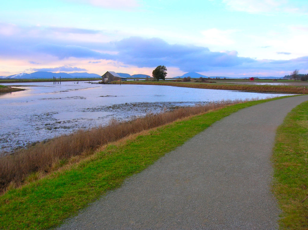
Quick Facts: Location: Skagit County Land Agency: Padilla Bay National Estuarine Research Reserve Roundtrip: 4.8 miles Elevation Gain: 30 feet Contact: Padilla Bay NERR Access: From Burlington (exit 231 on I-5) proceed through roundabouts and head west on Josh Wilson Road for 6.4 miles. Upon entering the village of Bay View turn left onto 2nd Street…
Read MoreSouth Indian Island — Enjoy peaceful shoreline strolling along a line of defense
Quick Facts: Location: Indian Island near Port Hadlock Land Agency: Jefferson County Parks Roundtrip: 4.0 miles Elevation Gain: 70 feet Notes: Detailed information can be found in Day Hiking Olympic Peninsula (Mountaineers Books) Contact: Jefferson County Parks Access: From Kingston, drive State Route 104 turning right onto SR 19. Then continue north for 9 miles turning right onto…
Read MoreSwan Lake and Butte–listen to the cry of the loon
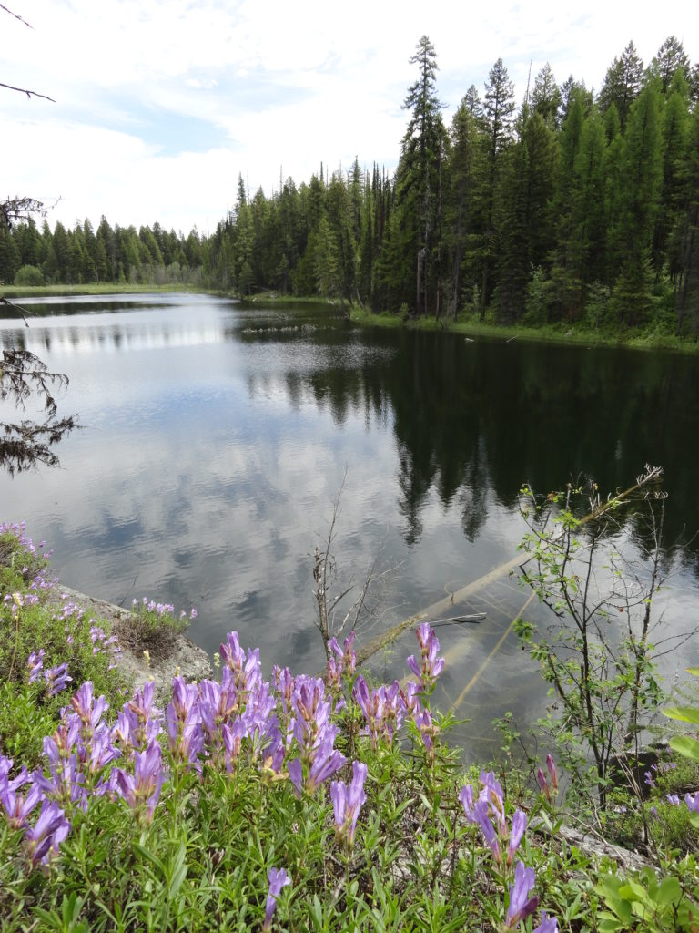
Quick Facts: NOTE: Road to Swan Lake has been damaged due to winter storms and may not be open. Call Republic Ranger District for road status (509) 775-7400 Location: Colville National Forest, near Republic Land Agency: US Forest Service Roundtrip: 3.1 miles Elevation gain: 360 feet Contact: Colville National Forest Notes: Dogs permitted on leash, but…
Read MoreBig Ditch─Dig in for some excellent swan and snow geese viewing
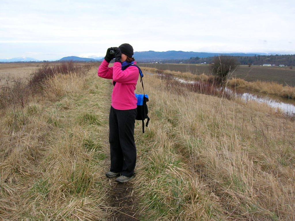
Quick Facts Location: Skagit Bay, Stanwood Land Agency: Washington Department of Fish and Wildlife Roundtrip: 3.6 miles Elevation Gain: None Access: From Exit 212 on I-5 head west on SR 532 for five miles to the town of Stanwood. Turn right onto the Pioneer Highway and proceed for 2.6 miles to the junction with the Old…
Read MoreLeque Island–Where it snows geese in the winter!
Location: Stanwood Land Agency: Washington Department of Fish and Wildlife (WDFW) Roundtrip: 1.0 mile Elevation gain: None Difficulty: Easy Contact: Washington Department of Fish and Wildlife Notes: Discover Pass or WDFW Vehicle Use Permit required; Active hunting area from October to late January Access: From Exit 212 on I-5, travel west 5.0 miles to Stanwood.…
Read More