Central Cascades
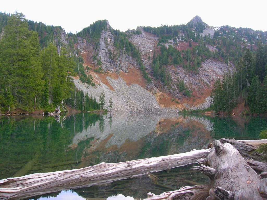
Surprise and Glacier Lakes—A surprisingly nice pair of sub-alpine lakes near Stevens Pass
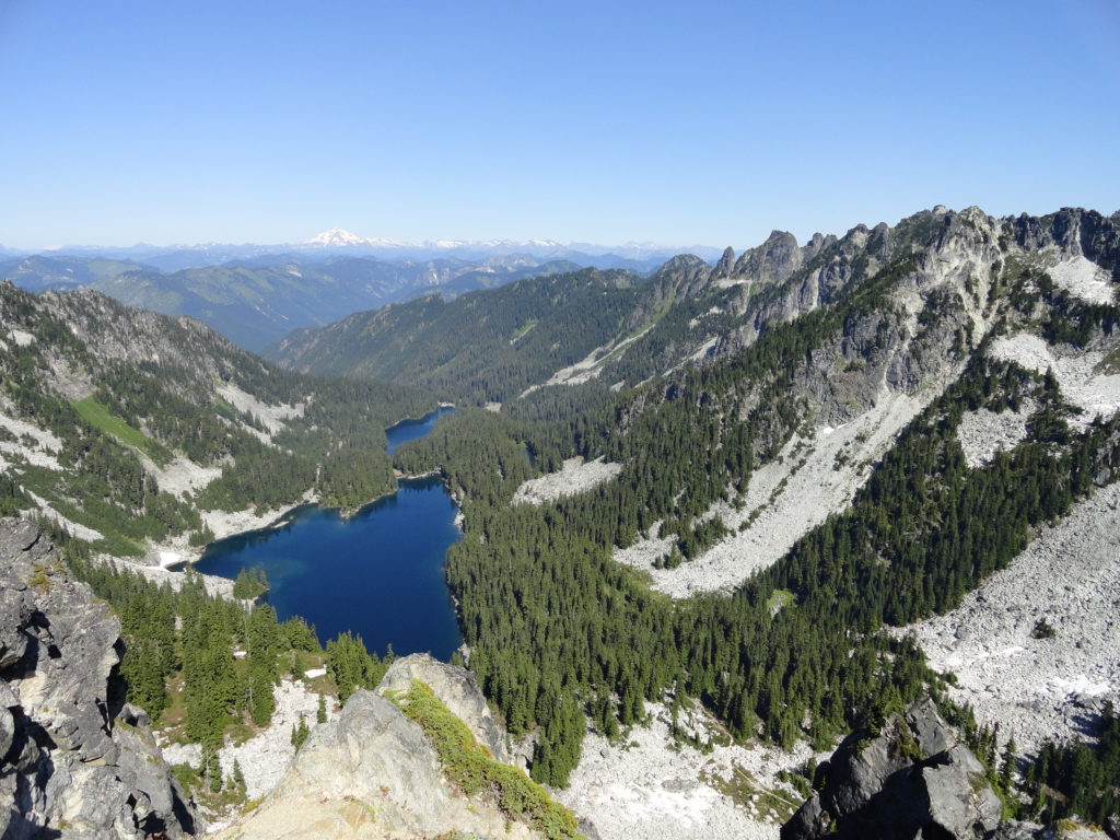
Quick Facts: Location: Stevens Pass area Land Agency: Mount Baker-Snoqualmie National Forest Roundtrip: 11.0 miles Elevation Gain: 2,800 feet Contact: Skykomish Ranger District: Mount Baker-Snoqualmie National Forest Notes: Northwest Forest Pass required; Dogs permitted on leash; Wilderness rules apply Access: From Everett follow US 2 east to Skykomish. Continue 10 more miles turning right (just after…
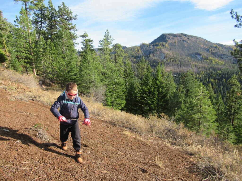
Read MoreAlpine Lookout –Wallow in good views and a chance to see a mountain goat or two
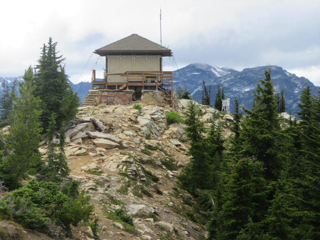
Quick Facts:Location: Stevens Pass-Lake Wenatchee regionLand Agency: Okanogan-Wenatchee National ForestRound Trip: 10.0 milesElevation Gain: 2,600 feetContact: Wenatchee River Ranger District (Leavenworth): Okanogan-Wenatchee National Forest Green Trails Map: Wenatchee Lake- No. 145Recommended Guidebook: Day Hiking Central Cascades 2nd editionNotes: NW Forest Pass or Interagency Pass Required.Several miles of trails on this hike are also open to mountain bikes…
Read MoreJay Lake — Solitude and camping at Wallace Falls State Park

Quick Facts: Location: Skykomish River Valley, US 2 Land Agency: Washington State Parks Roundtrip: 11.5 miles Elevation gain: 1,575 feet Green Trails Map: Contact: Wallace Falls State Park Notes: Discover Pass required; Dogs must be leashed; Camping requires a permit-attain from park prior to trip. Access: From Everett, follow US 2 for 28 miles east…
Read MorePeshastin Pinnacles — Hike though a magical kingdom of rocky spires

Quick Facts: Location: Wenatchee River Valley near Leavenworth Land Agency: Washington State Parks Roundtrip: 1.5 miles Elevation gain: 400 feet Green Trails Maps: Wenatchee Mission Ridge no. 211S Contact: Peshastin Pinnacles State Park Notes: Discover Pass required; dogs must be leashed. Access: From Leavenworth follow US 2 east for 9 miles turning left onto North…
Read MoreMainline Trail—Hike through the heart of the Paradise Valley Conservation Area
Quick Facts: Location: Maltby Land Agency: Snohomish County Parks Roundtrip: 3.2 miles Elevation Gain: minor ups and downs Access: From SR 522 in Maltby (5.0 miles east of Woodinville; 8.0 miles west of Monroe) head east on Paradise Lake Road for 1.7 miles to trailhead. Notes: Dogs must be on leash. Park open 7 am…
Read MoreMeadowdale Beach—Reach the Beach through an Emerald Gulch
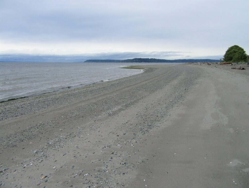
Quick Facts: Location: Lynnwood Land Agency: Snohomish County Parks Roundtrip: 2.5 miles Elevation Gain: 425 feet Contact: Snohomish County Parks Special Notes: Dogs must be leashed; park open 7 am to dusk: do not park on road Access: From Everett, head 10 miles south on I-5 to exit 183. Follow 164th Street SW west for…
Read MoreBoulder Lake—trail to this Sultan Basin Lake once again open!
Quick Facts: Location: Sultan Basin Land Agency: Washington Department of Natural Resources Roundtrip: 13.8 miles Elevation Gain: 2,140 feet Green Trails Map: Index WA- No. 142 Notes: Dogs must be on leash; All hikers are required to stop and register (no fee) at kiosk at Olney Pass upon entering Sultan Basin Watershed. Access: From Everett…
Read MoreSwauk Forest Discovery Trail—Golden forest beneath the Diamond Head
Quick Facts: Location: Blewett Pass Land Agency: National Forest Service Roundtrip: 2.8 miles Elevation Gain: 400 feet Green Trails Map: Wenatchee/ Mission Ridge, WA- No 211S Contact: Cle Elum Ranger District: Okanogan-Wenatchee National Forest Access: From Cle Elum follow WA 970 east for 7.0 miles to US 97. Continue north on US 97 for 14.0…
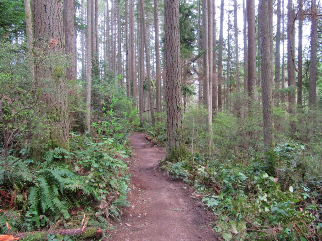
Read MoreDeception Creek—Big trees, wilderness valley, no crowds—and that’s the truth!
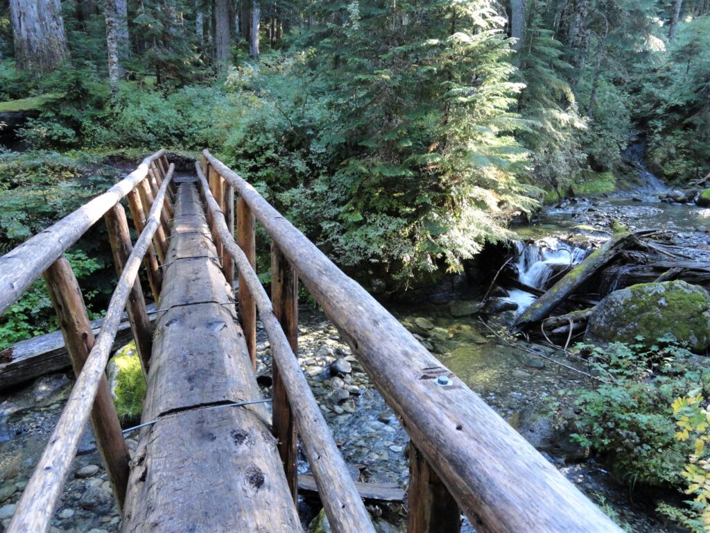
Quick Facts: Location: Skykomish River Valley Land Agency: Mount Baker-Snoqualmie National Forest Roundtrip: 10.5 miles Elevation Gain: 1,350 feet Notes: Northwest Forest Pass required; Dogs permitted on leash. Contact: Skykomish Ranger District: Mount Baker-Snoqualmie National Forest Green Trails Map: Alpine Lakes-Stevens Pass-No. 176S Access: From Everett drive US 2 east to Skykomish. Then continue for another…
Read MoreGreider Lakes — shimmering subalpine lakes in the Sultan Basin
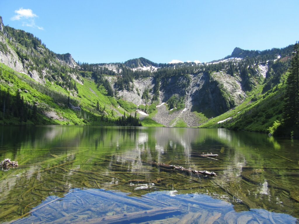
Quick Facts: Location: Sultan Basin Land Agency: Washington Department of Natural Resources Roundtrip: 9.6 miles Elevation gain: 1,600 feet Green Trails Map: Mountain Loop Highway 111SX Contact: Snohomish County Public Utility District Notes: Register (no fee) at entrance to watershed. Dogs must be on leash. Access: From Everett follow US 2 east to Sultan. At…
Read More