Central Cascades
Johnson Ridge–Ridgeline hike in the Wild Sky Wilderness
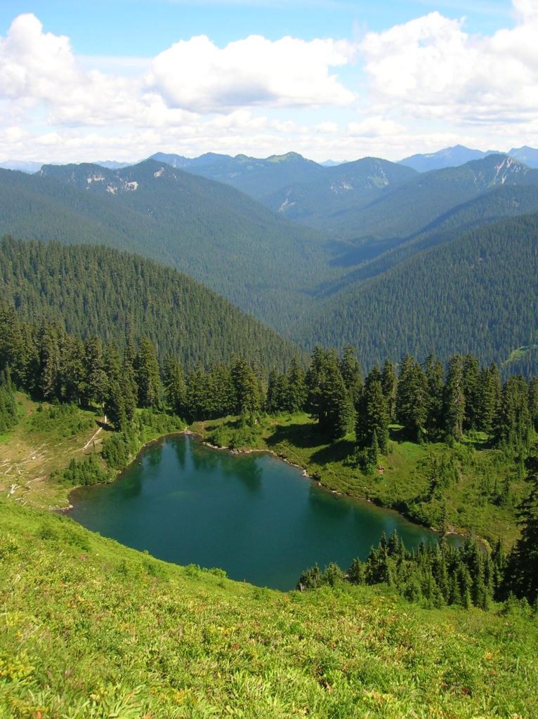
Location: Beckler River near Skykomish Land Agency: Mount Baker-Snoqualmie National Forest Roundtrip: 9.0 miles High Point: 5,540 feet Elevation gain: 2,650 feet Difficulty: difficult Green Trails Maps: Alpine Lakes West Stevens Pass No. 176S Contact: Skykomish Ranger District: Mount Baker-Snoqualmie National Forest Access: From Everett head east on US 2 for 50 miles turning left onto…
Read MoreBeaver Lake Loop–wetland wonderland on Lord Hill
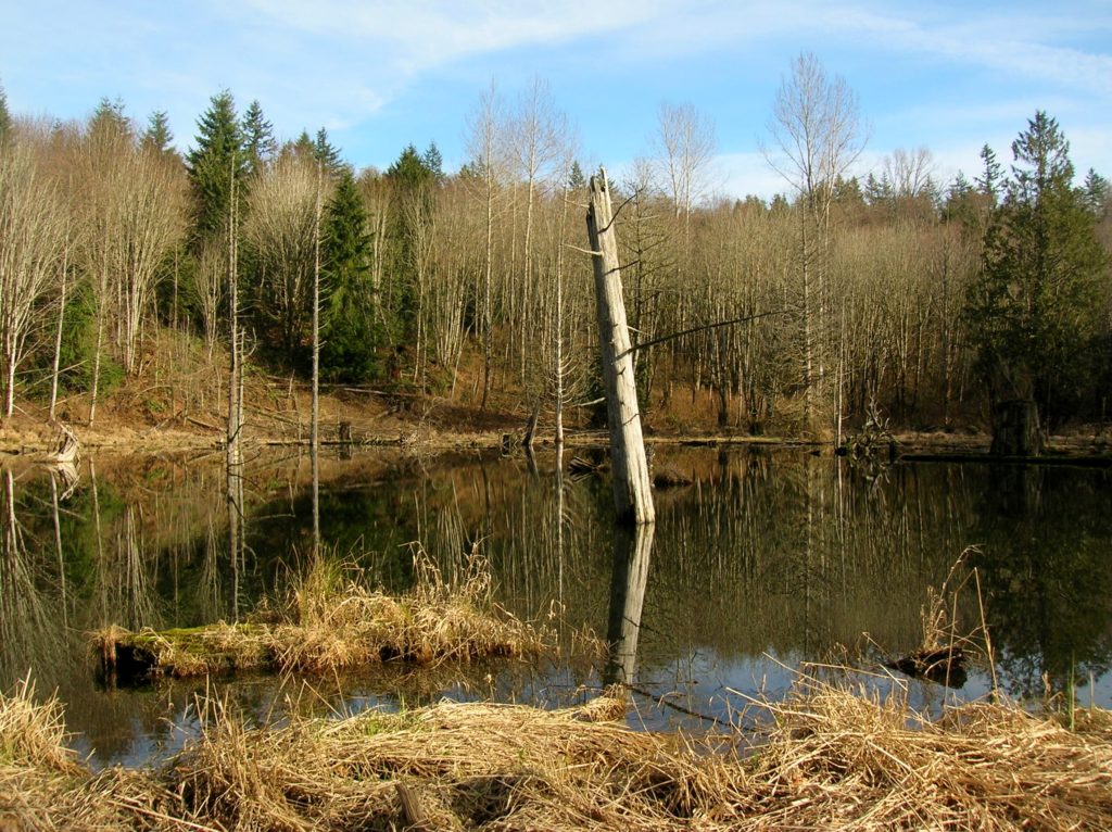
Location: Lord Hill Park near Snohomish Land Agency: Snohomish County Parks Roundtrip: 2.2 miles High Point: 650 feet Elevation gain: 200 feet Difficulty: easy Contact: Snohomish County Parks Notes: Dogs must be on leash; Map available online Access: From Everett, head east on US 2 for 8.0 miles and take 88th Street SE Exit. Turn right…
Read MoreLowell Riverfront Trail—Out of industrial ashes a riverside trail and park are born
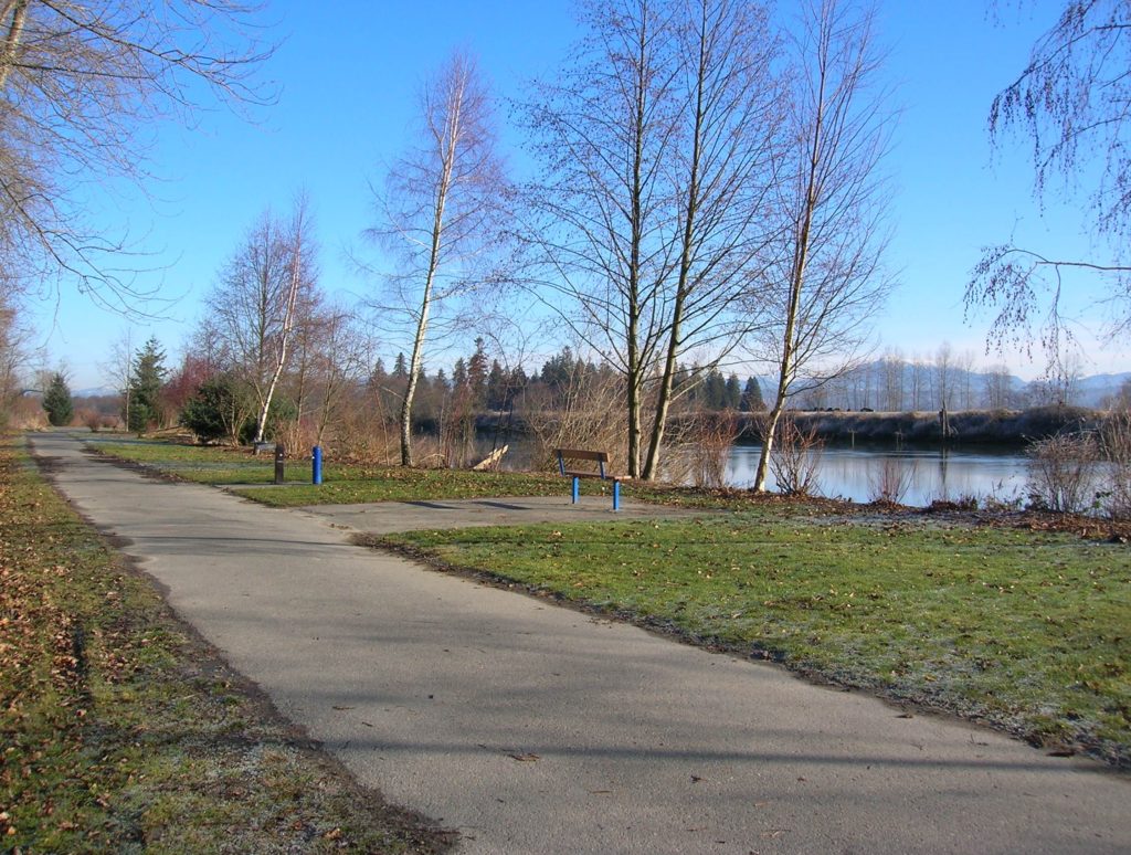
Quick Facts: Location: Lowell neighborhood, city of Everett Land Agency: Everett Parks and Recreation Contact: Everett Parks and Recreation Department Roundtrip: 4.0 miles Elevation Gain: None Access: From Exit 192 on I-5 in Everett head east on 41st Street. Turn right (south) onto 3rd Ave and proceed for 1.2 miles to four-way stop. Turn left onto…
Read MoreRock Mountain via Snowy Creek—Big sky views and perhaps a goat or two
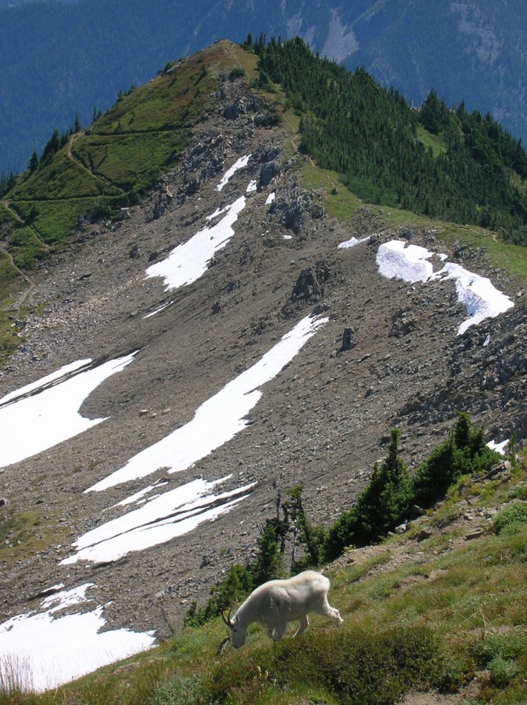
Quick Facts: Location: Nason Ridge near Stevens Pass Land Agency: Okanogan-Wenatchee National Forest Roundtrip: 9.8 miles Elevation Gain: 3,250 feet Green Trails Map: Alpine Lakes Stevens Pass Map 176S Access: From Everett head east on US 2. Four miles past Stevens Pass turn left onto Smith Brook Road (FR 6700). Follow for 6.0 miles turning…
Read MoreChelan Lakeshore Trail—Spring has sprung along Washington’s inland fjord
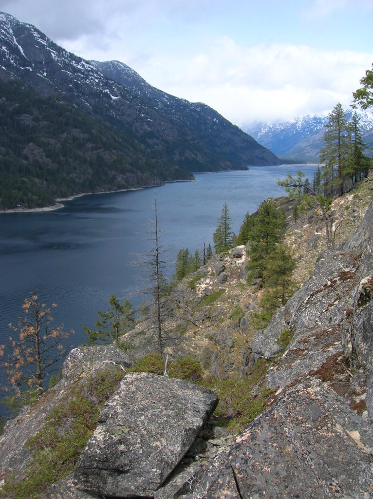
Quick Facts: Location: Central Cascades Land Agency: National Park Service Roundtrip: 10.0 miles Elevation Gain: 1,000 feet Green Trails Map: Stehekin, WA- No. 82 Contact: Lake Chelan National Recreation Area, Golden West Visitor Center in Stehekin; Special Note: Accessible only by boat or sea plane. Regular passenger ferry service is available from Chelan and Field’s…
Read MoreDouble Bluff – Dog-friendly beach hiking on Whidbey Island
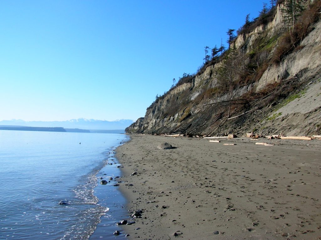
Quick Facts: Location: Whidbey Island Land Agency: Island County Parks, Washington State Parks, and the Washington DNR Roundtrip: 4.0 miles Elevation Gain: None Access: Take State Ferry from Mulkiteo to Clinton on Whidbey Island. Continue north on SR 525 for 8.5 miles turning left onto Double Bluff Road. Proceed for 2.0 miles to road end…
Read MoreNorth Fork Sauk River — Walk among ancient giants
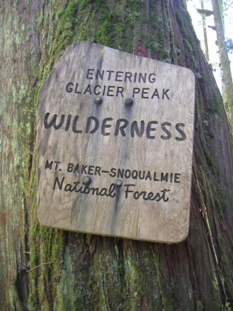
Quick Facts: Location: Mountain Loop Highway Land Agency: Mount Baker-Snoqualmie National Forest Roundtrip: 11.6 miles Elevation gain: 900 feet Green Trails Maps: Mountain Loop Highway Map 111SX Contact: Darrington Ranger District: Mount Baker Snoqualmie National Forest Guidebook Resource: Day Hiking North Cascades (Mountaineers Books) Notes: NW Forest Pass or Interagency Pass required Access: From Darrington,…
Read MoreLake Dorothy — Easy Hike to Large Alpine Lake
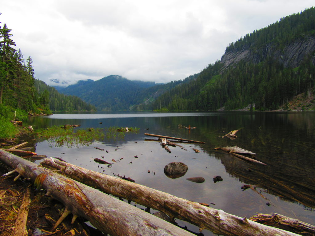
Quick Facts: Location: Skykomish Valley Land Agency: National Forest Service Round Trip: 3.8 miles Elevation Gain: 800 feet Contact: Skykomish Ranger District, Mount Baker-Snoqualmie National Forest Green Trails Maps: Green Trails, Alpine Lakes West Stevens Pass No 176S Notes: Northwest Forest pass or Interagency pass required; dogs must be leashed; wilderness regulations apply Access: From Everett,…
Read MoreIndex Town Wall –Steep and stunning hike above the Forks of the Sky
Quick Facts: Location: Skykomish River Valley near Index Land Agency: Washington State Parks Roundtrip: 2.6 miles Elevation gain: 1,300 feet Green Trails Maps: Alpine Lakes Stevens Pass Map 176S Contact: Washington State Parks Notes: Discover Pass required; Dogs must be leashed Access: From Everett follow US 2 east for 36 miles. Turn left onto North…
Read MoreSpada Lake–dam nice views of the Sultan Basin
Quick Facts: Location: Sultan Basin Land Agency: Snohomish County Public Utility District Roundtrip: 1.6 miles Elevation Gain: 300 feet Green Trails Map: Mountain Loop HIghway No. 111SX Access: From Everett follow US 2 east to Sultan. At a traffic light just past Milepost 23 turn left onto Sultan Basin Road. Follow for 13.2 miles (pavement ends at 10.4 miles) to…
Read More