Featured
Ephemeral Trail–Enjoy lasting memories on this Paradise Valley Trail
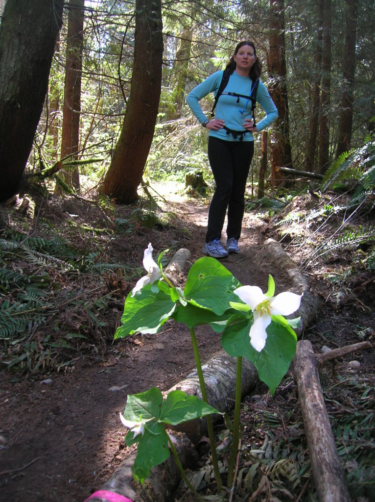
Location: Maltby Land Agency: Snohomish County Parks Roundtrip: 4.0 miles Elevation gain: 200 feet Difficulty: Easy Contact: Snohomish County Parks Notes: Dogs must be on leash; partially open to mountain bikes and horses Access: From SR 522 in Maltby (5.0 miles east of Woodinville; 8.0 miles west of Monroe) head east on Paradise Lake Road…
Read MoreGreen to Cedar Rivers Trail
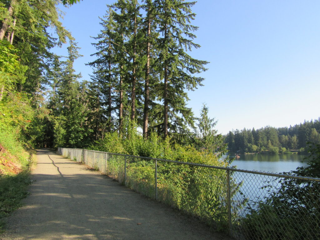
Walk across Maple Valley through a “wilderness” park Quick Facts: Location: Maple Valley, WA Distance: 3.3 miles one way Contact: King County Parks Elevation Gain: 250 feet Notes: Dogs permitted on leash Trailhead directions: From Seattle follow I-5 to I-405 and take Exit 4 in Renton. Then drive SR 169 south for 11.3 miles turning…
Read MoreHeart O' the Forest Trail─Peaceful path in the shadow of Hurricane Ridge
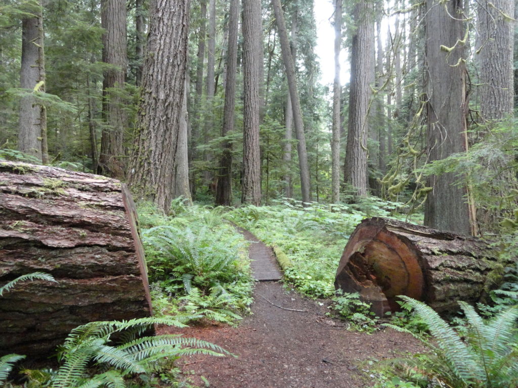
Quick Facts: Location: Heart O’ the Hills Campground Land Agency: Olympic National Park Roundtrip: 4.6 miles Elevation Gain: 550 feet Notes: Dogs prohibited, National Park Entry fee. Green Trails Map: Elwha North/ Hurricane Ridge No-134S Access: From Olympic National Park Visitors Center in Port Angeles, follow Hurricane Ridge Road (aka Heart O’ the Hills Parkway) south. Continue 5.4 miles turning left into…
Read MoreMount Finlayson─This spoil of war now offers peaceful wandering
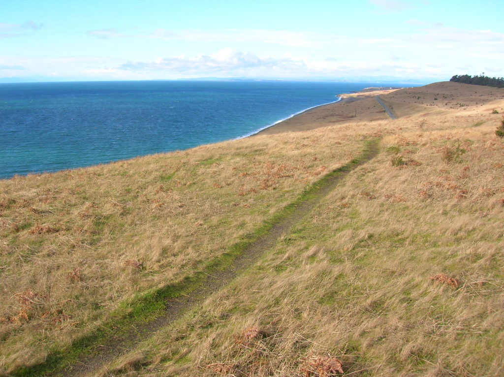
Quick Facts Location: San Juan Island Land Agency: National Park Service Roundtrip: 3.5 miles Elevation Gain: 290 feet Contact: San Juan Island National Historic Park Notes: Dogs must be leashed. Access: Take Washington State Ferry from Anacortes to Friday Harbor on San Juan Island. Follow Spring Street for .5 mile through town turning left onto…
Read MoreTollgate Farm
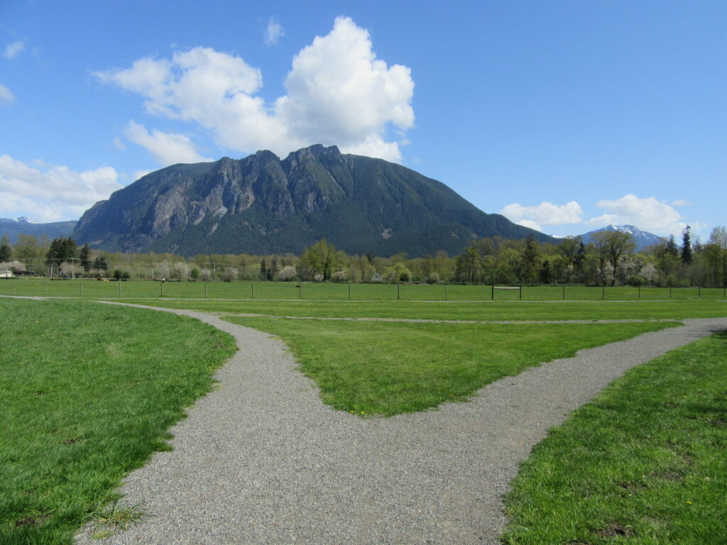
Historic prairie at the Forks of the Snoqualmie Quick Facts: Location: North Bend, WA Distance: 1.5 miles of trails Elevation Gain: minimal Contact: Si View Metropolitan District Green Trails Map: Mount Si NRCA no. 206S Notes: Dogs permitted on leash Trailhead directions: From Seattle follow I-90 east to Exit 27. Turn left onto Winery Road…
Read MoreLizard and Lily Lakes

Peaceful wandering near the Oyster Dome Quick Facts: Location: Blanchard State Forest Distance: 7.5 miles roundtrip Elevation Gain: 1,500 feet Contact: Washington Department of Natural Resources Map: Square One Maps Chuckanut Recreation Area Notes: Discover Pass required to park at trailheads Trailhead directions: From I-5 Exit 240 in Alger head north on Lake Samish Road…
Read MoreMowich Lake
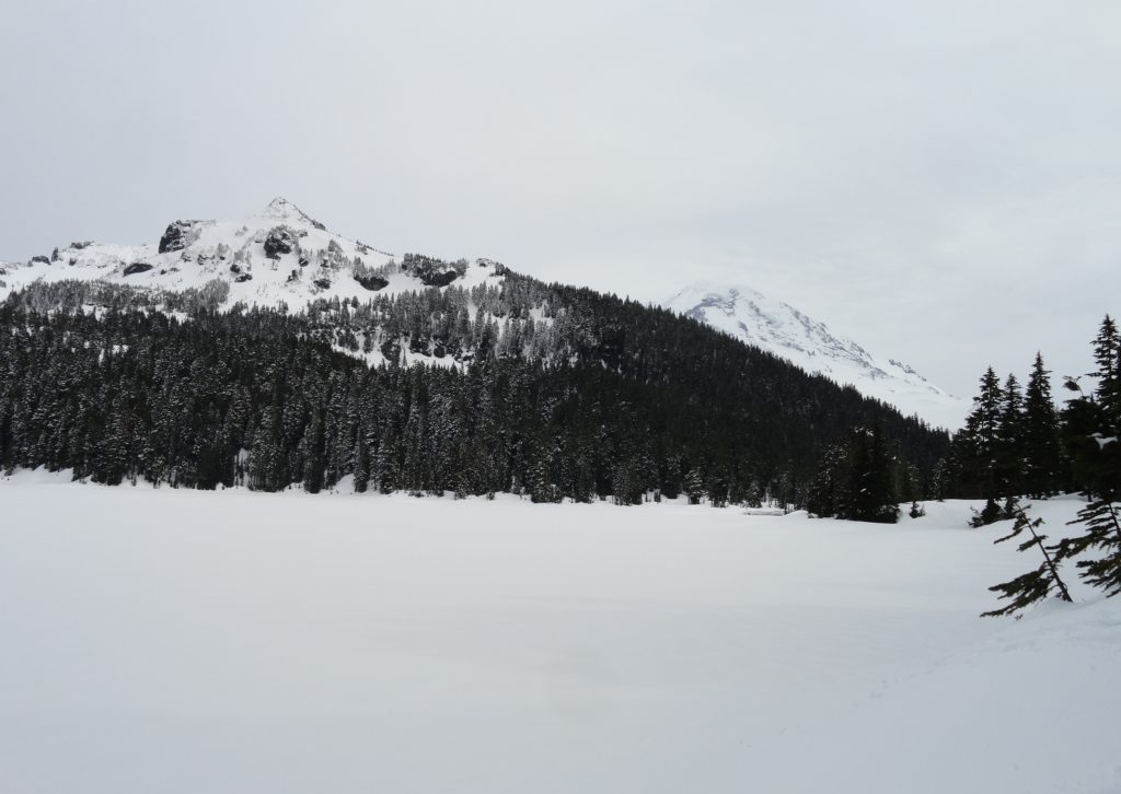
Snowshoe to a “deer” location in Mount Rainier National Park Quick Facts: Location: Mount Rainier National Park Distance: 10.2 miles roundtrip Elevation Gain: 1,350 feet Contact: Mount Rainier National Park Green Trails Map: Mount Rainier National Park 269SX Notes: Dogs are prohibited; Route is non-groomed and shared with skiers; National Park pass or Interagency Pass…
Read MoreHurricane Hill─Storm this summit on snowshoes or skis
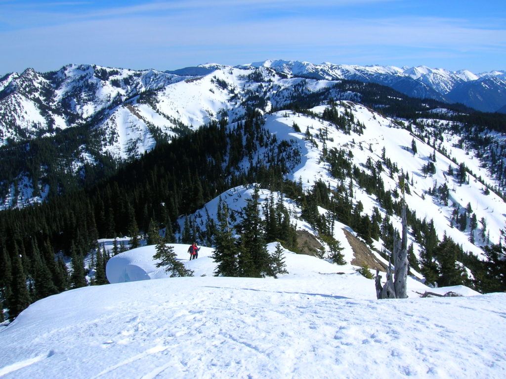
Quick Facts: Location: Hurricane Ridge, Olympic National Park Land Agency: National Park Service Roundtrip: 6.0 miles Elevation Gain: 900 feet Contact: Olympic National Park Green Trails Map: Elwha North Hurricane Ridge, No 134S Notes: Dogs are prohibited. National Park Entry Fee Required. Dec–Mar the road is open Fri–Sun and Holiday Mondays only weather permitting. All…
Read MoreHigh Hut — Snowshoe to a heavenly hut in the shadow of Rainier
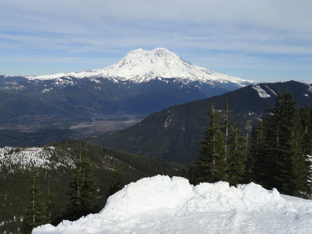
Quick Facts: Location: Mount Tahoma Trails near Ashford Land Agency: Washington DNR and Mount Tahoma Trails Association Roundtrip: 8.6 miles Elevation gain: 2,400 feet Contact: Mount Tahoma Trails Association MTTA Map: Mount Tahoma Ski Trail System (MTTA) Notes: Sno-Park Pass required; Reservations required for overnight stays in hut Access: From Elbe head east 10 miles…
Read MoreSecond Beach– Home to First Rate Scenery
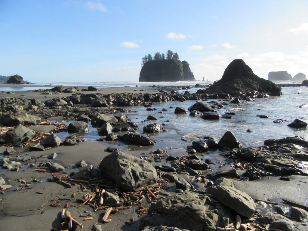
Quick Facts: Location: Olympic National Park Land Agency: Quileute Nation and National Park Service Roundtrip: 4.0 miles Elevation Gain: 310 feet Contact: Olympic National Park, Wilderness Information Center Green Trails Map: 99S Olympic Coast Beaches Notes: Dogs prohibited Access: From Forks follow US 101 north for 1.5 miles turning left onto State Route 110 (signed “Mora–La Push”). Continue…
Read More