Featured
Eight Mile Creek–Enjoy elegant cedars and polished granite outcroppings on the way to Squire Creek Pass
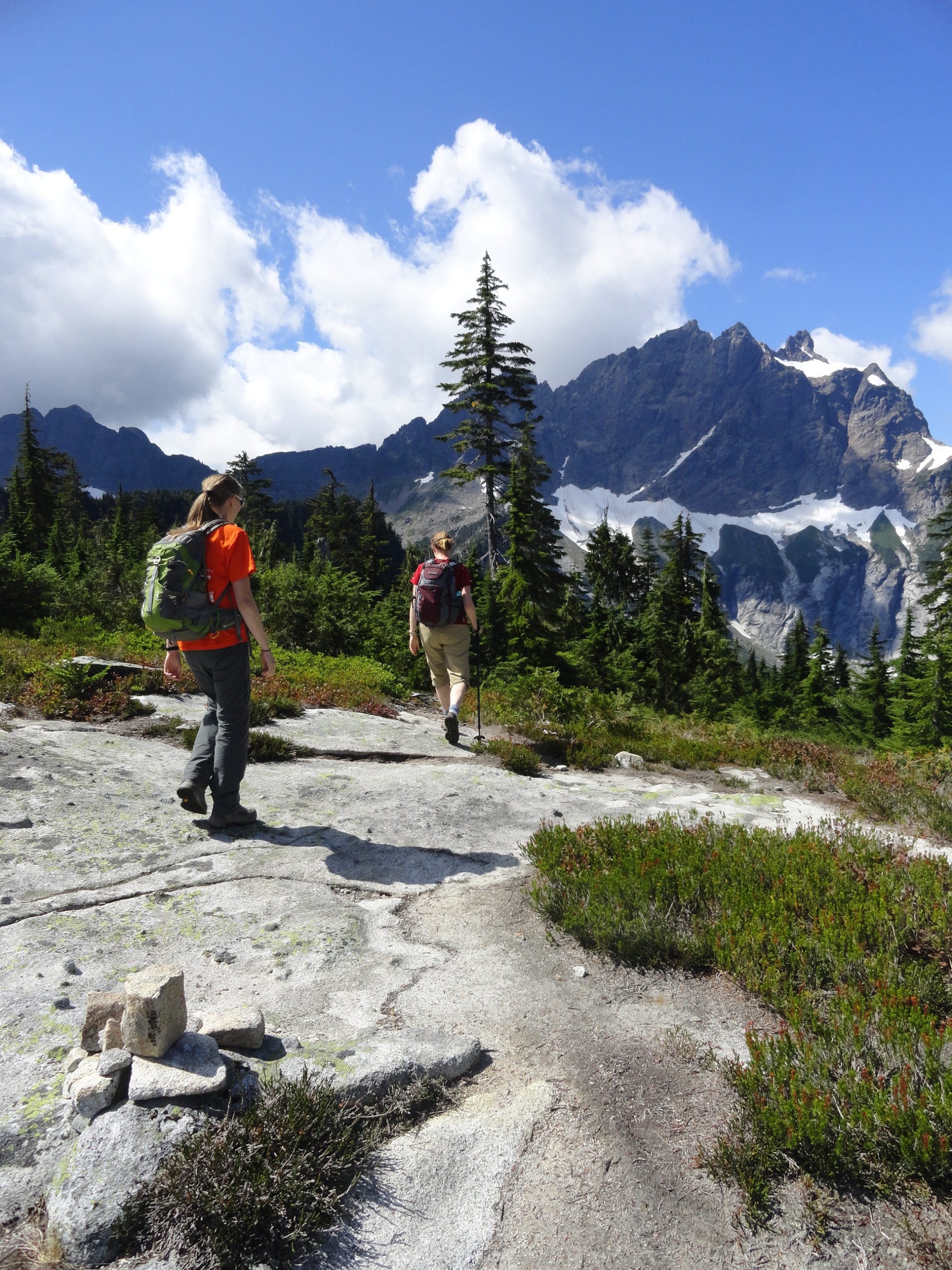
Quick Facts: Location: Boulder River Wilderness, Mountain Loop Highway Land Agency: Mount Baker-Snoqualmie National Forest Roundtrip: 6.0 miles High Point: 4,075 feet Elevation gain: 2,300 feet Difficulty: difficult Green Trails Maps: Mountain Loop Highway 111SX Contact: Darrington Ranger District: Mount Baker Snoqualmie National Forest Recommended Guidebook: Day Hiking North Cascades 2nd edition Access: From Darrington, follow…
Read MoreGothic Basin and Foggy Lake — Spiraling peaks, buttressed ridges, and a hauntingly beautiful landscape
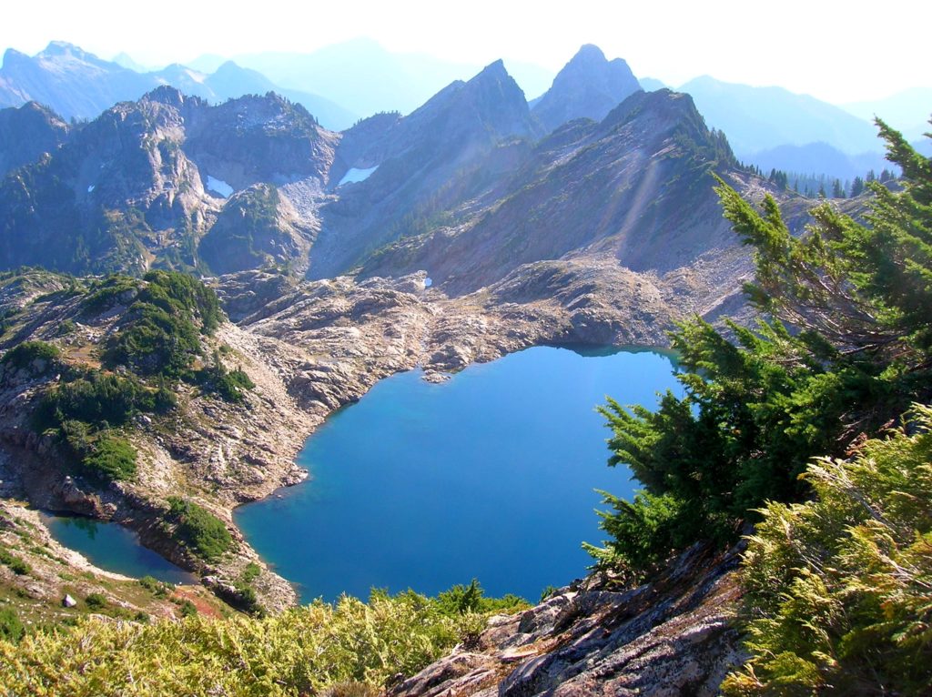
Quick Facts: Location: Mountain Loop Highway near Granite Falls Land Agency: Mount Baker-Snoqualmie National Forest Service and Washington Department of Natural Resources Roundtrip: 9.4 miles Elevation Gain: 2,900 feet Green Trails Maps: Mountain Loop Highway 111SX Access: From Granite Falls follow the Mountain Loop Highway east for 31 miles to Barlow Pass. Hike begins by walking up gated Monte Cristo…
Read MoreTomlike Mountain–There’s much to like about this Columbia River Gorge peak
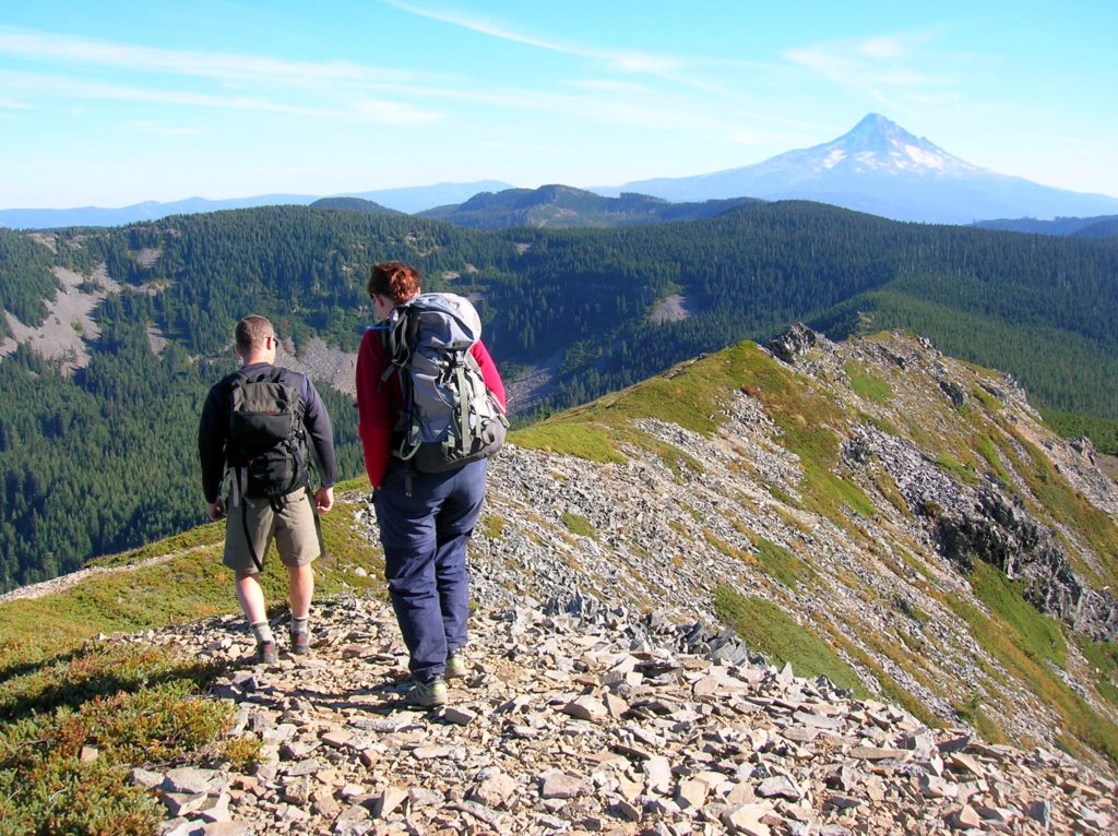
Quick Facts: Location: Mark Hatfield Wilderness, Columbia River Gorge, Oregon Land Agency: Mount Hood National Forest Roundtrip: 6.0 miles Elevation gain: 1,300 feet Green Trails Map: Columbia River Gorge -West No 428S Contact: Mount Hood National Forest, Hood River Ranger Station Notes: Northwest Forest Pass or Inter-agency Pass Required Recommended Guidebook: Day Hiking Columbia River…
Read MoreRed Pass─High Portal to Glacier Peak
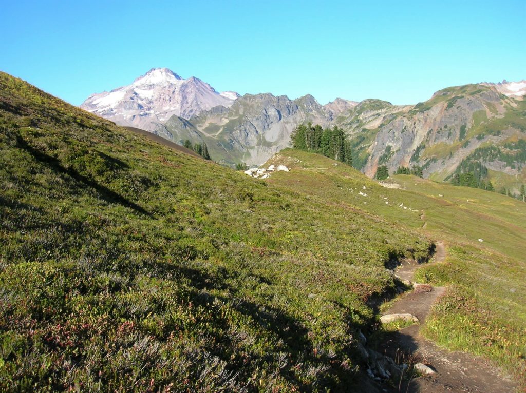
Quick Facts: Location: North Fork Sauk River Land Agency: Mount Baker-Snoqualmie National Forest Roundtrip: 20.6 miles Elevation Gain: 4,300 feet Contact: Darrington Ranger District: Mount Baker Snoqualmie National Forest (360) 436-1155; www.fs.fed.us/r6/mbs Green Trails Map: Mountain Loop Highway 111SX Special Note: Northwest Trail Pass required. Access: From Darrington, travel south on the Mountain Loop Highway…
Read MoreGee Point─ great views from this little-known peak!
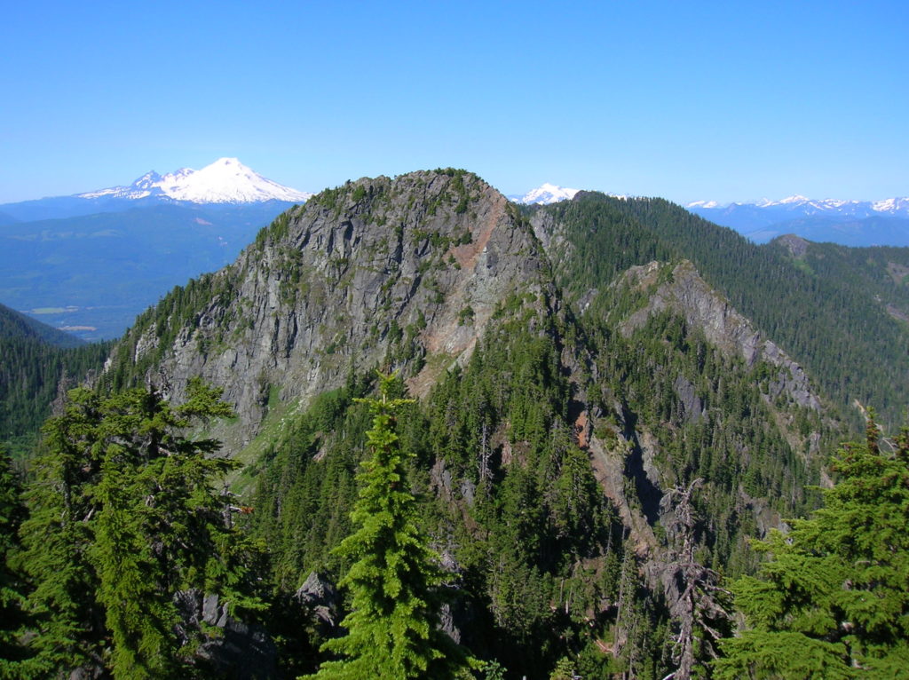
Quick Facts: Location: Finney Block, Skagit Valley Land Agency: Mount Baker-Snoqualmie National Forest Roundtrip: 3.0 miles Elevation Gain: 700 feet Contact: Mount Baker Ranger District: Mount Baker Snoqualmie National Forest (360) 856-5700; www.fs.fed.us/r6/mbs Green Trails Map: Oso, WA-No. 77 Access: From Burlington head east 28 miles on SR 20 towards Concrete turning right onto the…
Read MoreCrystal Lake─ a trail less taken if you take the old way
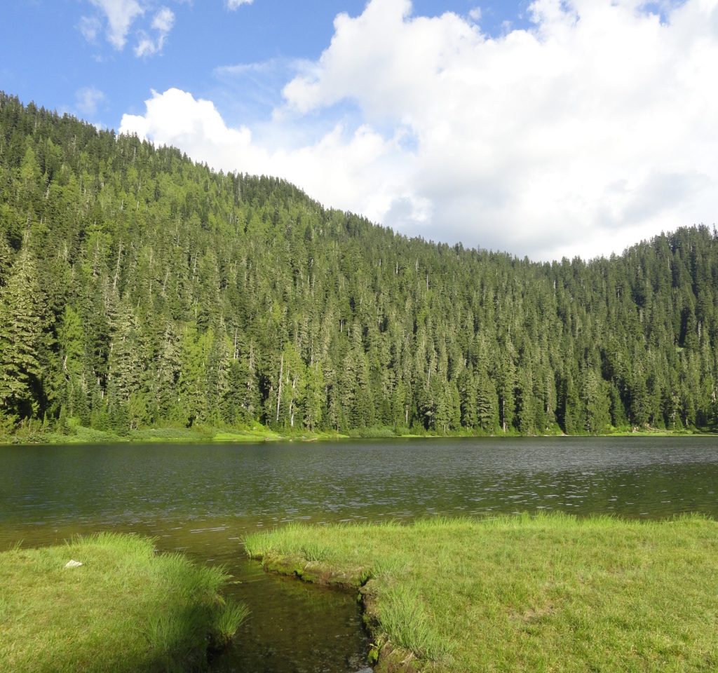
Quick Facts: Location: White Chuck River Valley, Mountain Loop Highway Land Agency: National Forest Service Roundtrip: 9.0 miles Elevation Gain: 2,150 feet Green Trails Map: Mountain Loop Highway 111SX Access: Take Exit 208 off of I-5 following SR 530 east for 32 miles to Darrington. Then head south on the Mountain Loop Highway proceeding 9.0…
Read MoreWagonwheel Lake─You’ll bust your axle on this tough hike
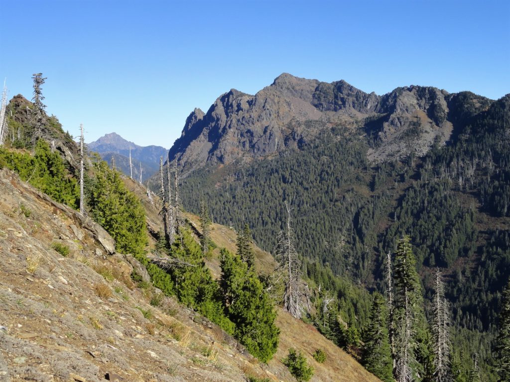
Quick Facts: Location: Staircase Area, Olympic National Land Agency: National Park Service Roundtrip: 5.8 miles Elevation Gain: 3,200 feet Green Trails Map: Olympic Mountains East 168SX Notes: Dogs prohibited; National Park entry fee. Access: From Shelton, head north on US 101 for 15 miles to Hoodsport. Turn left onto SR 119 proceeding for 9.3 miles…
Read MorePeek-a-boo Lake — peaceful little lake and peek-a-boo mountain views
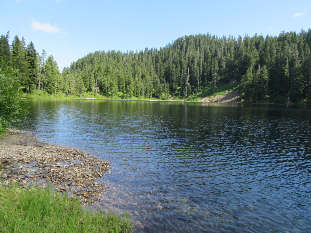
Quick Facts: Location: Mountain Loop Highway near Darrington Land Agency: Mount Baker-Snoqualmie National Forest Roundtrip: 5.0 miles Elevation gain: 1600 feet Green Trails Maps: Mountain Loop Highway 111 SX Contact: Mount Baker-Snoqualmie National Forest, Darrington Ranger District Notes: Access road is rough and brushy in spots. High clearance necessary. Access: From Darrington follow the Mountain Loop…
Read MoreBenchmark Mountain–The meadows here measure up among the best
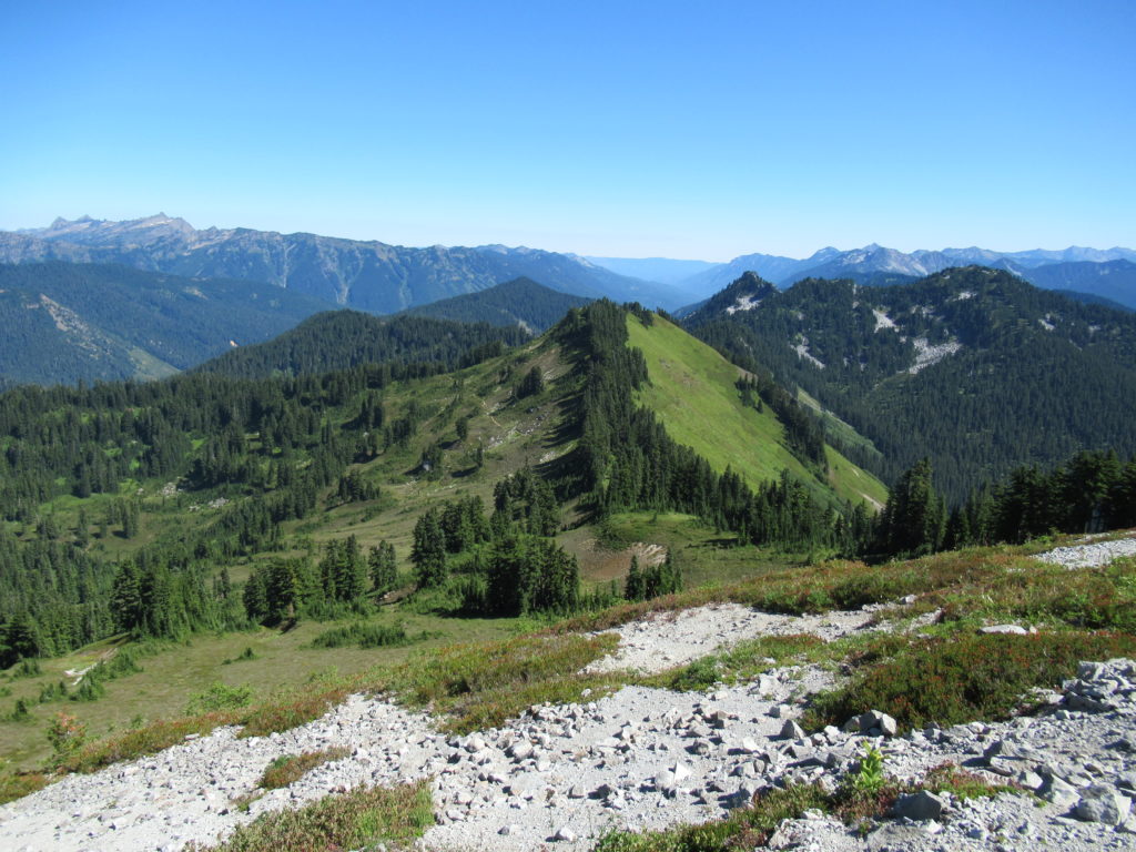
Quick Facts: Location: North Fork Skykomish River Valley Land Agency: Mount Baker-Snoqualmie National Forest Roundtrip: 14.2 miles High Point: 5,816 feet Elevation gain: 3,700 feet Green Trails Maps: Monte Cristo, WA-No. 143, Benchmark MT- No. 144 Contact: Skykomish Ranger District: Mount Baker-Snoqualmie National Forest Note: Northwest Forest or Interagency Pass Required Access: From Everett head…
Read MoreJefferson Cove─A great place to go forth on the Fourth!
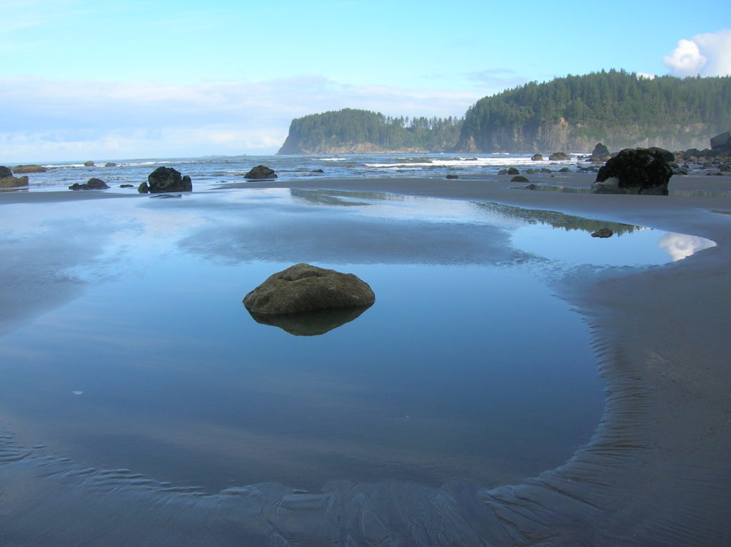
Quick Facts: Location: Olympic Coast, Olympic National Park Land Agency: National Park Service Roundtrip: 5.0 miles Elevation Gain: minimal Green Trails Map: La Push No. 163S Note: Dogs prohibited; Check tides – can only be done in a low tide; permits required to camp. Access: From Forks travel south on US 101 for 15 miles…
Read More