Featured
Mercer Slough Nature Park
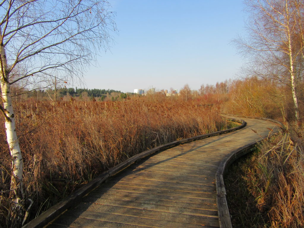
Hike a slew of trails near the heart of Bellevue Quick Facts: Location: Bellevue Land Agency: City of Bellevue Parks and Recreation Distance: more than 7.0 miles of trails Elevation Gain: minimal Contact: City of Bellevue Parks and Recreation Notes: dogs permitted on leash, Recommended Guidebook: Urban Trails Eastside (Mountaineers Book) Access: Take Exit 12…
Read MoreLookout Loop

A good grunt to a so-so viewpoint in a great new forest preserve Quick Facts: Location: Lookout Mountain Forest Preserve Land Agency: Whatcom County Parks Round Trip: 4.0 miles Elevation Gain: 850 feet Contact: Whatcom County Parks Notes: dogs permitted on leash, trail open to mountain bikes Recommended Guidebook: Urban Trails Bellingham (Mountaineers Book) Access:…
Read MoreSasquatch Loop — Snowshoe to a Snotel on Mount St. Helens

Quick Facts: Location: Mount St Helens National Volcanic Monument Land Agency: Gifford Pinchot National Forest Roundtrip: 9.9 miles Elevation gain: 1,000 feet Contact: Mount St Helens National Volcanic Monument Green Trails Map: Green Trails Mount St Helens 332S Notes: Sno-park Pass required. Do not snowshoe in cross-country ski tracks and be aware of snowmobiles on…
Read MoreBig Gulch─ Explore Mukilteo’s deep ravines

Quick Facts: Location: Mukilteo Land Agency: Mukilteo Parks and Recreation Contact: Mukilteo Recreation Department Roundtrip: 4.0 miles Elevation Gain: 350 feet Access: From Everett follow SR 526 to SR 525. Turn left (south) on SR 525 and drive .5 mile to 92nd Street. Turn right and then immediately turn left into the 92nd Street Park parking area.…
Read MoreRiverview Wildlife Refuge –Quiet bird sanctuary on the Snohomish River

Quick Facts Location: City of Snohomish Land Agency: Snohomish Department of Parks and Volunteer Programs Roundtrip: 2.2 miles Elevation gain: minimal Difficulty: Easy Contact: City of Snohomish and Pilchuck Audubon Society Notes: Dogs must be on a leash. Access: From Everett head east on US 2 to SR 9. Then follow SR 9 south exiting…
Read MoreNorth Creek Park─Enjoy being “bogged” down for the holidays

Quick Facts: Location: Mill Creek Land Agency: Snohomish County Parks Roundtrip: 2.0 miles Elevation Gain: 30 feet Access: From I-5 Exit 183 follow 164th Street SE east to SR 527. Turn south and follow SR 527 to 183rd Street SE. Turn right (west) and proceed for a 0.5 mile to park entrance on right. Alternatively take…
Read MoreLake Sylvia─A great place to log some hiking miles
Quick Facts: Location: Montesano, Olympic Peninsula Land Agency: Washington State Parks Roundtrip: 4.9 miles Elevation Gain: 220 feet Access: From US 12 in Montesano, head north on Main Street past the county courthouse. Turn left onto Spruce Avenue proceeding three blocks. Then turn right on 3rd Street which becomes Sylvia Lake Road for 1.2 miles to…
Read MoreLa Center Bottoms─Wintering bird haven on the East Fork of the Lewis River
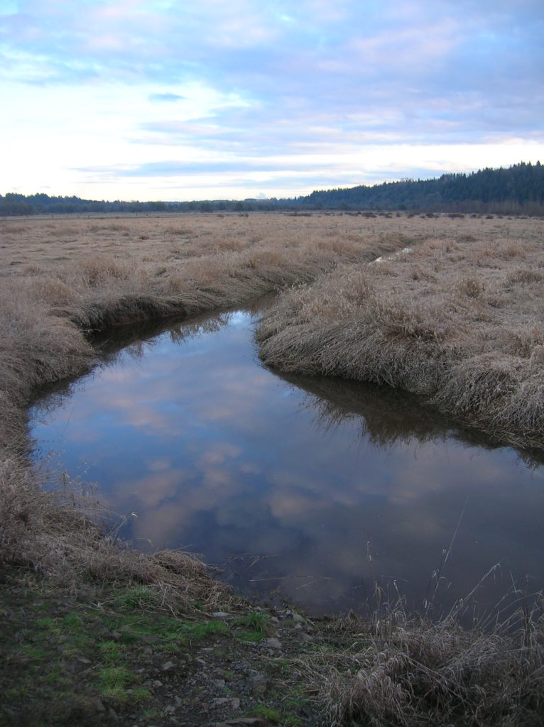
Quick Facts: Location: La Center, Clark County Wash. Land Agency: Clark County Parks Roundtrip: 2.0 miles Elevation Gain: 30 feet Special Note: Dogs permitted on leash. Access: From Vancouver, head north on I-5 to Exit 16. Turn right onto La Center Road and proceed for 1.6 miles to the bridge over the East Fork Lewis River.…
Read MoreLime Kiln Trail─Hop onboard for an historic hike along the Stillaguamish River

Quick Facts: Location: Stillaguamish River Valley, Granite Falls Land Agency: Snohomish County Parks Roundtrip: 7.0 miles Elevation Gain: 600 feet Contact: Snohomish County Parks Green Trails Map: Mountain Loop Highway 111SX Notes: Dogs must be on leash; park open dawn to dusk. Access: Follow SR 92 east to Granite Falls. Turn right onto Granite Ave. Continue…
Read MoreWhite Chuck Bench Trail — Glacier-fed Whitewater
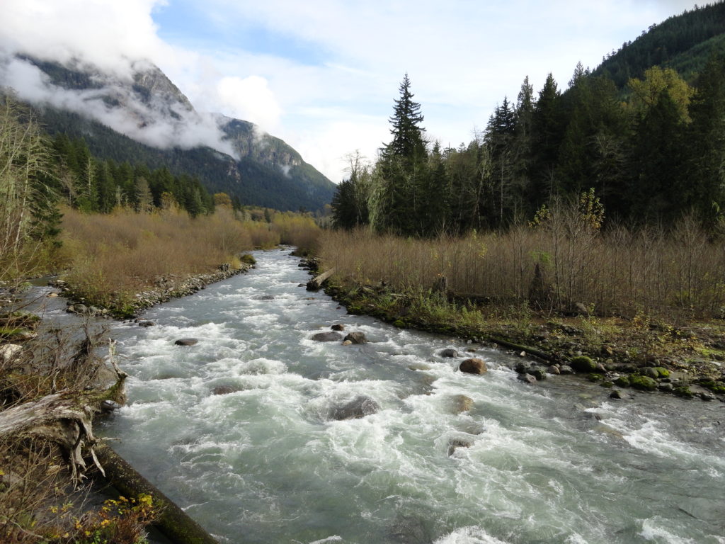
Quick Facts: Location: Mountain Loop Highway Land Agency: Mount Baker-Snoqualmie National Forest Roundtrip: 14 miles Elevation gain: 1500 feet Green Trails Map: Green Trails, Mountain Loop Highway, WA- no. 111SX Contact: Darrington Ranger District: Mount Baker Snoqualmie National Forest Access: From Darrington follow Mountain Loop Highway for 9.0 miles. Turn left onto FR 22 and…
Read More