Hike of the Week
Evans Creek Preserve
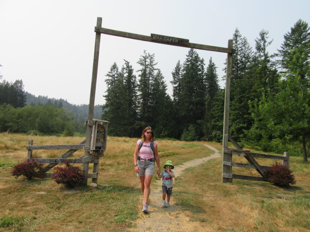
A glimpse of the Eastside pre-Microsoft Quick Facts: Location: Sammamish Land Agency: Sammamish Parks and Recreation Distance: 3.5 miles of trails Elevation Gain: up to 475 feet Contact: Sammamish Parks and Recreation Detailed Information: Urban Trails Eastside (Mountaineers Books) Notes: Dogs permitted on leash Access: From Redmond Head east on SR 202 for 4.0 miles…
Read MoreOld Kettle Falls Trail
Hike through an old town site along a tamed river Quick Facts: Location: Lake Roosevelt, Stevens County, WA Land Agency: National Park Service Roundtrip: 2.6 miles Elevation Gain: minimal Contact: Lake Roosevelt National Recreation Area Detailed Information: Day Hiking Eastern Washington (Mountaineers Books) Notes: Dogs permitted on leash Access: From Kettle Falls head west on SR 20-US 395…
Read MoreLimekiln Point and Preserve

Orcas, old quarries, and a beautiful lighthouse Quick Facts: Location: San Juan Island Land Agency: Washington State Parks and San Juan County Conservation Land Bank Roundtrip: 2.2 miles Elevation Gain: 265 feet Contact: Lime Kiln State Park or San Juan County Conservation Land Bank Detailed Information: Day Hiking the San Juans and Gulf Islands (Mountaineers Books) Notes: Discover…
Read MoreEagle Creek — Classic Hike overflows with stunning waterfalls
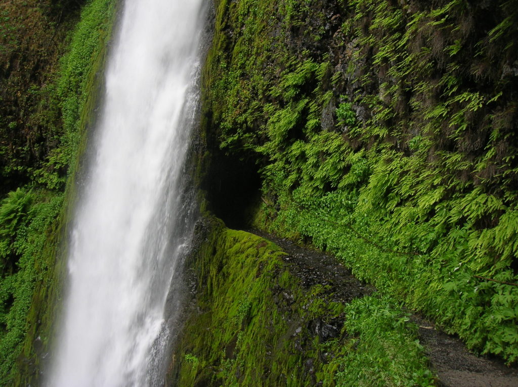
Quick Facts: Location: Columbia River Gorge near Cascades Locks, Oregon Land Agency: National Forest Service Roundtrip: 12 miles High Point: 1,100 feet Elevation gain: 1,600 feet Difficulty: moderate Green Trails Maps: Columbia Gorge West no. 428S Contact: Columbia Gorge National Scenic Area Notes: Northwest Forest Pass or Interagency Pass required; Dogs permitted (but not recommended) on leash; steep drop offs and exposure—keep children near.…
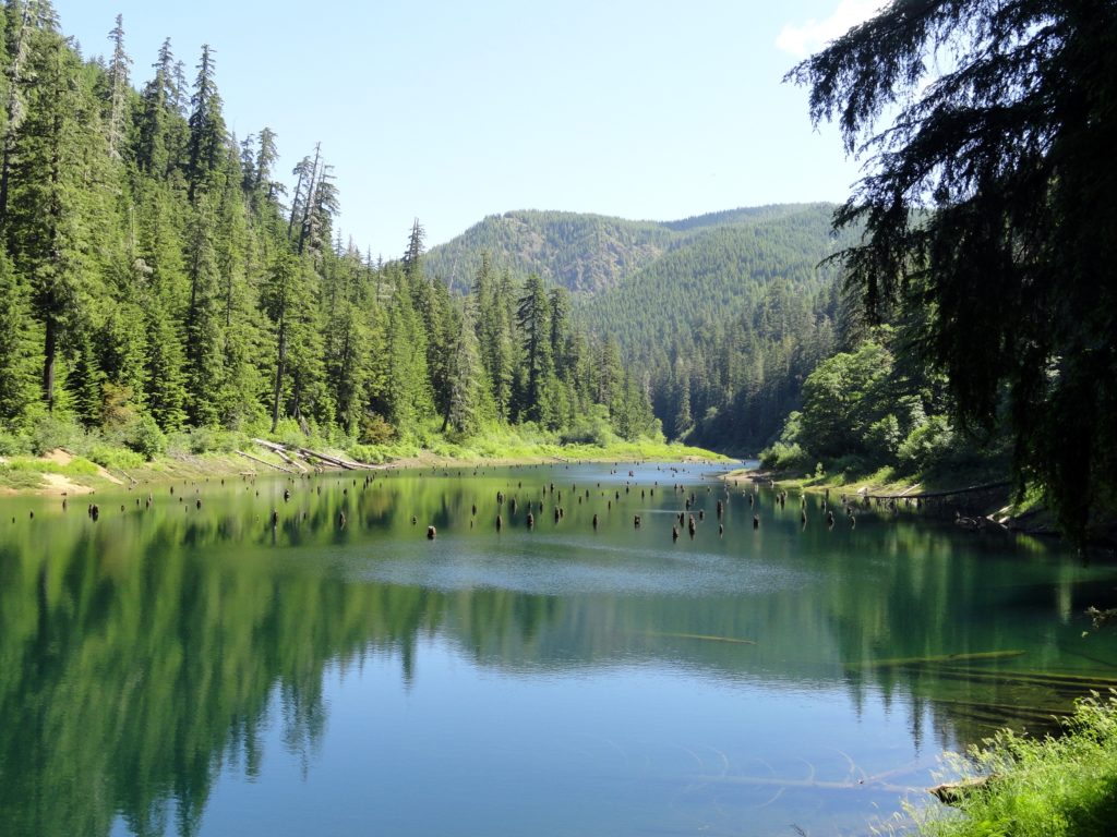
Read MoreThe Hummocks — Hike through the former heart of Mount St. Helens
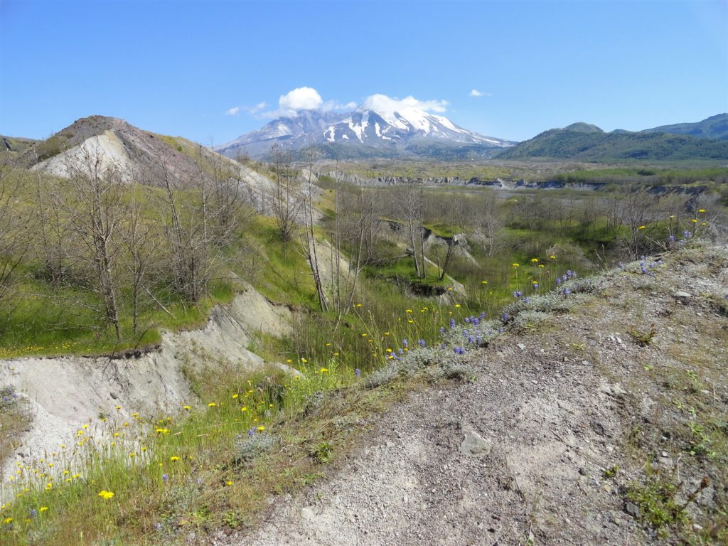
Quick Facts: Location: Spirit Lake Highway, Mount St Helens National Volcanic Monument Land Agency: National Forest Service Roundtrip: 2.5 miles Elevation Gain: 250 feet Contact: Mount St Helens National Volcanic Monument Green Trails Map: Mount St Helens 332S Notes: Northwest Forest Pass (or interagency pass) required; dogs prohibited; off trail travel prohibited. Practice Leave No Trace…
Read MoreBeards Hollow─Just in the Nick of Time for razor clam season

Quick Facts: Location: Long Beach Peninsula, Pacific County, WA Land Agency: Washington State Parks Contact: Cape Disappointment State Park Roundtrip to Beards Hollow: 1.0 mile Elevation Gain: 50 feet Roundtrip to North Head Lighthouse: 3 miles Elevation Gain: 300 feet Access: From Ilwaco, take Loop Spur State Road 100 in either direction to Beards Hollow…
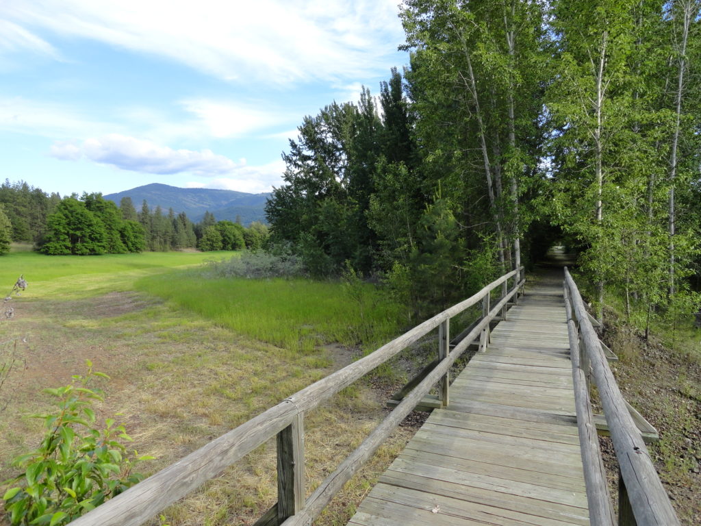
Read MoreSpider Lake─Best “web site” on the Olympic Peninsula
Quick Facts: Location: Olympic National Forest, Hood Canal District Land Agency: National Forest Service Roundtrip: 2.0 miles Green Trails Map: Mount Tebo, WA No. 199 Elevation Gain: 200 feet Contact: Hood Canal District, Quilcene Good to know: Dog-friendly, Kid-friendly, snow free winter hike Access: From Shelton, head north on US 101 for 7 miles turning…
Read MoreSaddle Rock—Iconic landmark of the Wenatchee Foothills
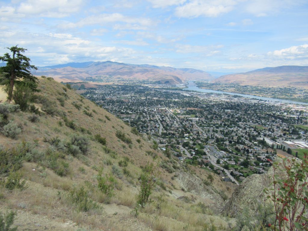
Quick Facts: Location: Wenatchee, Washington Land Agency: WA DNR and Chelan-Douglas Land Trust Roundtrip: 3.0 miles Elevation Gain: 1000 feet Contact: WA DNR and Chelan-Douglas Land Trust Notes: Dogs must be leashed; be alert for rattlesnakes Green Trails Map: Wenatchee/ Mission Ridge No. 211S Access: From US 2 in Wenatchee head south onto State Route…
Read MoreHappy Panther Trail–Take a joyful catwalk in the North Cascades
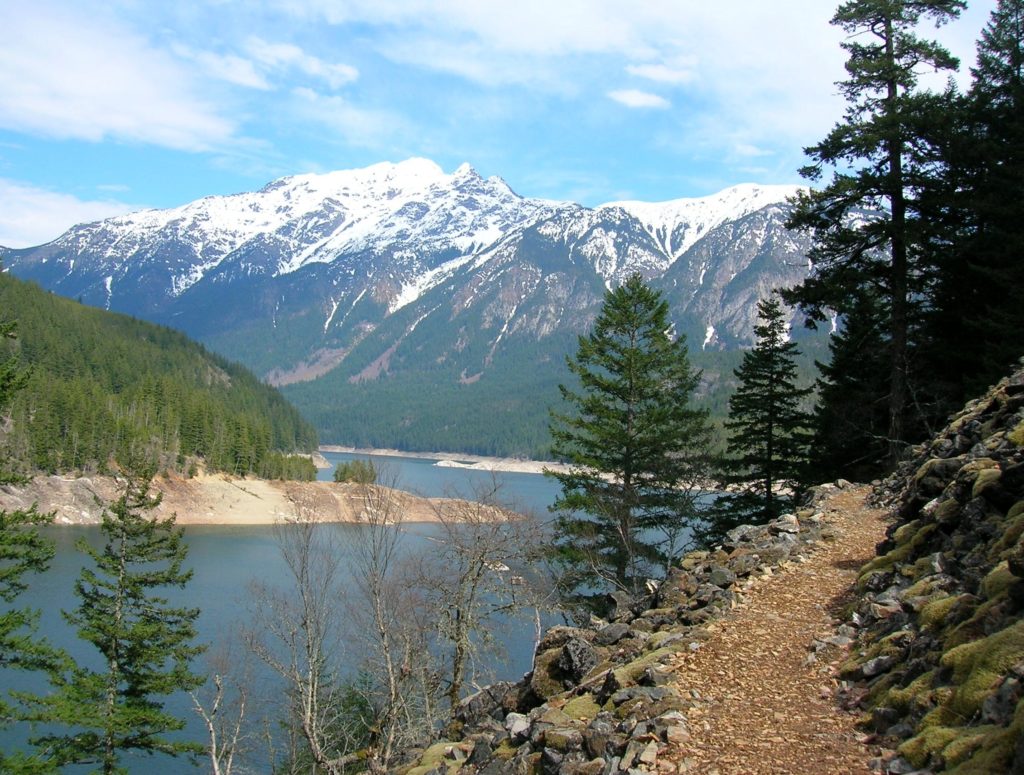
Quick Facts: Location: North Cascades Scenic Highway Land Agency: Ross Lake National Recreation Area, National Park Service Roundtrip: 11.8 miles Elevation gain: 1200 feet Green Trails Maps: Green Trails, North Cascades Ross Lake No. 16SX Contact: North Cascades National Park complex Notes: Dogs must be leashed Access: From Burlington follow SR 20 east to Marblemount. Then…
Read MoreHorse Creek Trail–Trot through towering coastal old-growth forest
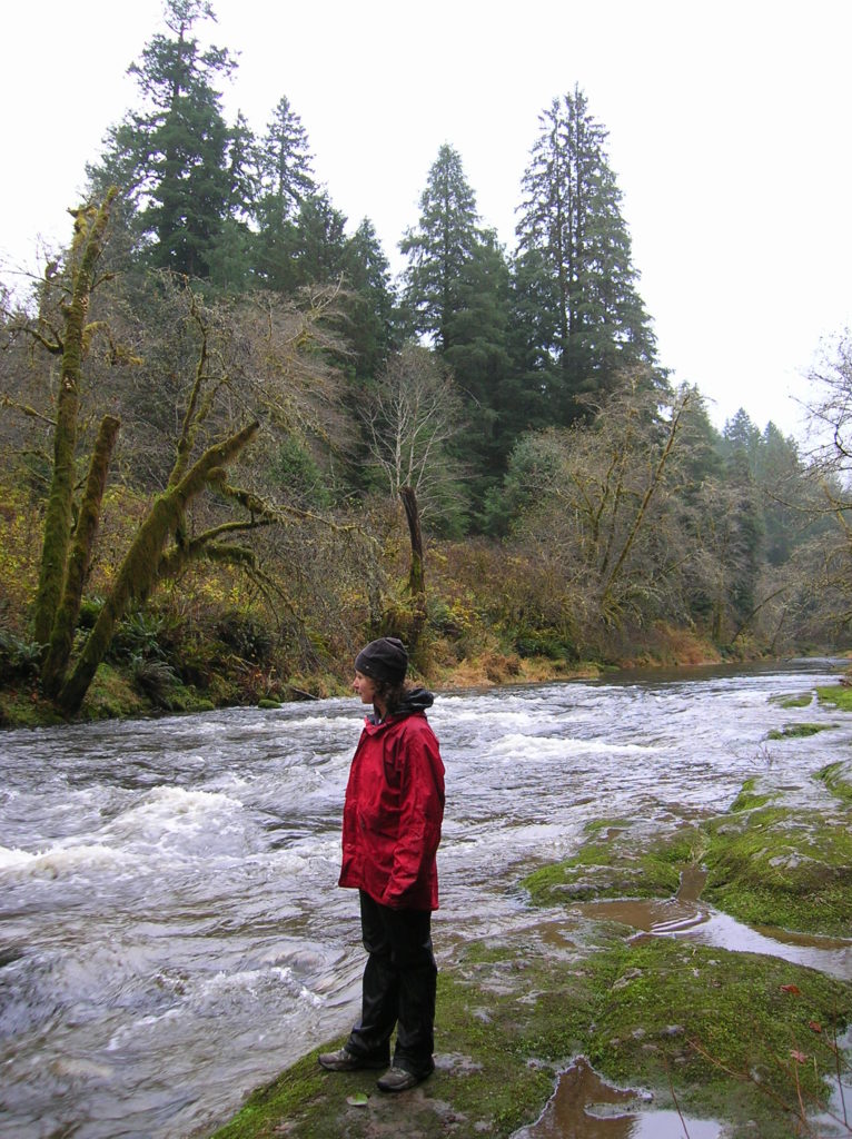
Quick Facts: Location: Drift Creek Wilderness, Siuslaw National Forest Land Agency: National Forest Service Roundtrip: 7.2 miles Map: Online from Forest Service Elevation gain: 1,400 feet Difficulty: moderate Contact: Central Coast Ranger District (Waldport), Siuslaw National Forest Notes: Drift Creek Wilderness is south of Newport. Do not confuse with popular Drift Creek Falls near Lincoln…
Read More