Olympic Peninsula
Wagonwheel Lake─You’ll bust your axle on this tough hike
Quick Facts: Location: Staircase Area, Olympic National Land Agency: National Park Service Roundtrip: 5.8 miles Elevation Gain: 3,200 feet Green Trails Map: Olympic Mountains East 168SX Notes: Dogs prohibited; National Park entry fee. Access: From Shelton, head north on US 101 for 15 miles to Hoodsport. Turn left onto SR 119 proceeding for 9.3 miles…
Read MoreJefferson Cove─A great place to go forth on the Fourth!
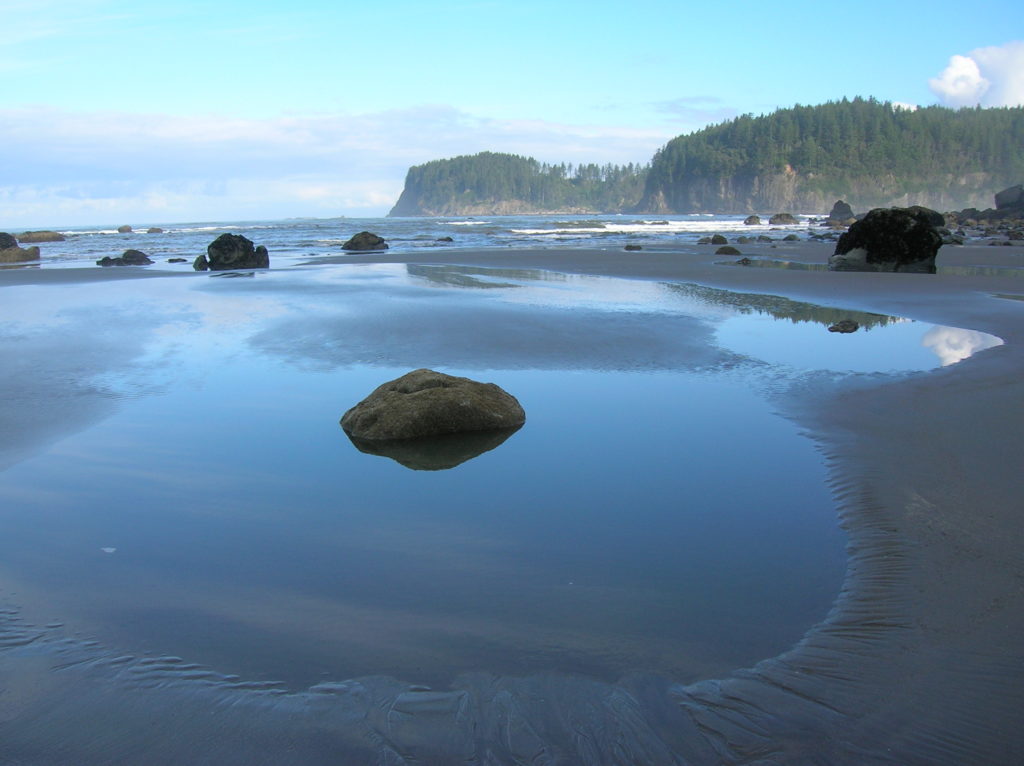
Quick Facts: Location: Olympic Coast, Olympic National Park Land Agency: National Park Service Roundtrip: 5.0 miles Elevation Gain: minimal Green Trails Map: La Push No. 163S Note: Dogs prohibited; Check tides – can only be done in a low tide; permits required to camp. Access: From Forks travel south on US 101 for 15 miles…
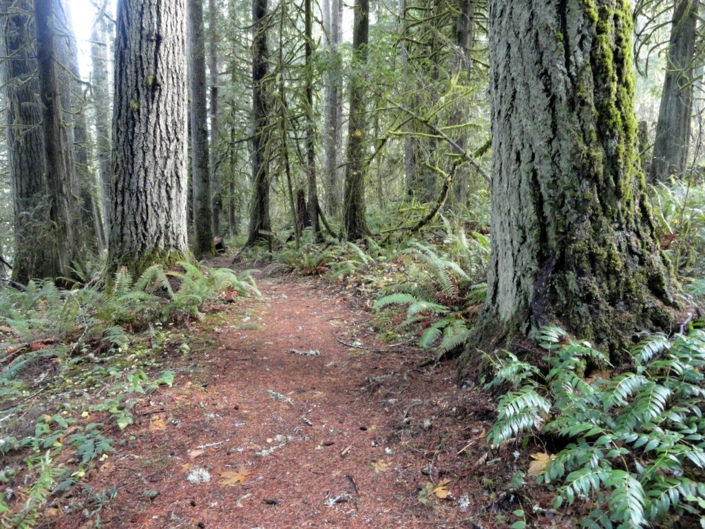
Read MoreKloshe Nanitch
Stand watch over the Sol Duc Valley Quick Facts: Location: North Olympic Peninsula-Sol Duc Valley; Land Agency: Olympic National Forest; Roundtrip: 6.4 miles; Elevation gain: 2,400 feet; Contact: Olympic National Forest, Pacific District North, Forks; Notes: Discover Pass Required; Recommended Guidebook: Day Hiking Olympic Peninsula (2nd edition) Good to Know: Dog-friendly, Trail Less Traveled, Historic…
Read MoreLower Gray Wolf River– A nice place to hang out with the pack

Quick Facts: Location: Northeast Olympic Peninsula Land Agency: Olympic National Forest Roundtrip: 7.0 miles Elevation gain: 900 feet Contact: Hood Canal Ranger District, Quilcene Green Trails Map: Olympic Mountains East no. 168SX Notes: wilderness rules apply Recommended Guidebook: Day Hiking Olympic Peninsula Good to Know: dog-friendly; kid-friendly; easy backpacking options, Buckhorn Wilderness Access: From US…
Read MoreFort Flagler Loop─Old defense post now protects undeveloped Puget Sound coastline
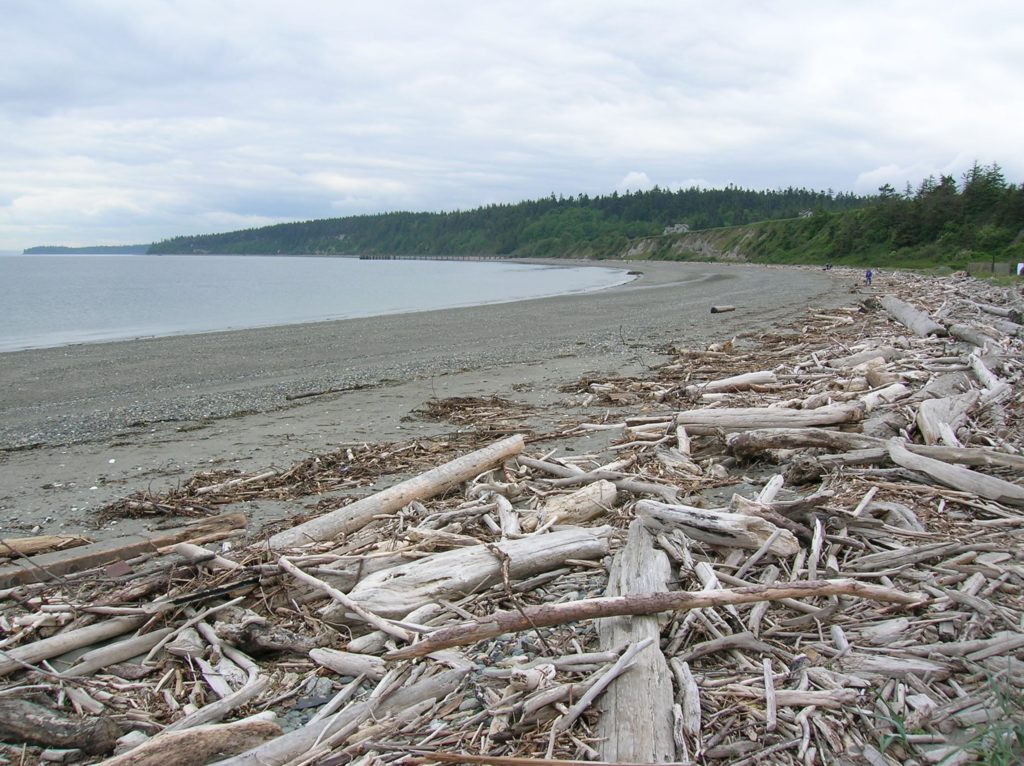
Quick Facts: Location: Marrowstone Island Land Agency: Washington State Parks Contact: Fort Flagler State Park Roundtrip: 5.6 miles Elevation Gain: 200 feet Access: From Kingston Ferry Terminal, follow SR 104 west for 15 miles turning right onto SR 19. Continue north for 9 miles to Chimicum turning right onto Irondale Road and proceeding 1.6 miles…
Read MoreRainbow Falls State Park
Stroll through groves of Old-growth above the Chehalis River Quick Facts: Location: Chehalis River Valley Land Agency: Washington State Parks Roundtrip: up to 3.0 miles Elevation gain: 300 feet Contact: Rainbow Falls State Park Notes: Discover Pass required; dogs must be leashed Access: From Chehalis (exit 77 on I-5) follow SR 6 west for 16…
Read MoreLake Sylvia─A great place to log some hiking miles
Quick Facts: Location: Montesano, Olympic Peninsula Land Agency: Washington State Parks Roundtrip: 4.9 miles Elevation Gain: 220 feet Access: From US 12 in Montesano, head north on Main Street past the county courthouse. Turn left onto Spruce Avenue proceeding three blocks. Then turn right on 3rd Street which becomes Sylvia Lake Road for 1.2 miles to…
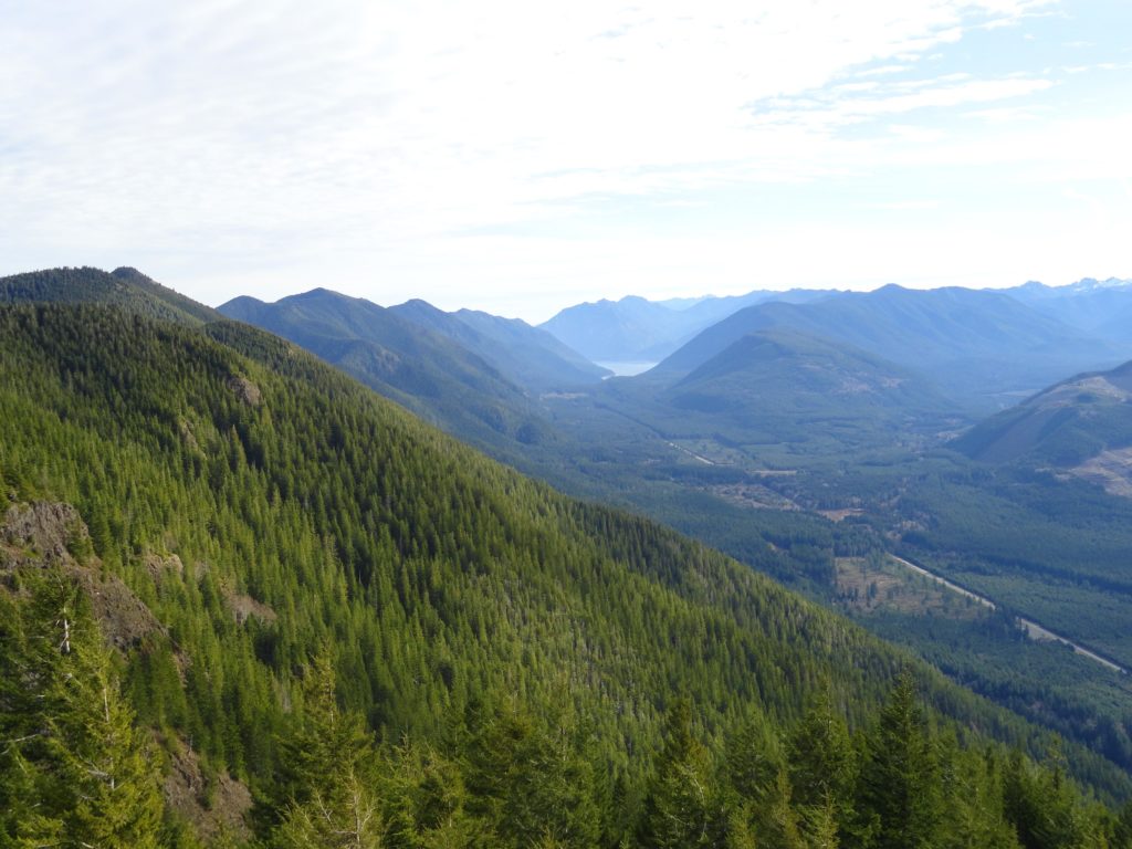
Read MoreMount Muller Loop– Stunning ridgeline hike above the Sol Duc Valley
Quick Facts: Location: North Olympic Peninsula Land Agency: Olympic National Forest Roundtrip: 12.7 miles Elevation gain: 3350 feet Contact: Olympic National Forest, Pacific Ranger District, Forks, Green Trails Map: Green Trails Lake Crescent No. 101 Notes: Northwest Forest Pass or Interagency Pass required Access: From Port Angeles, follow US 101 west for 32 miles to…
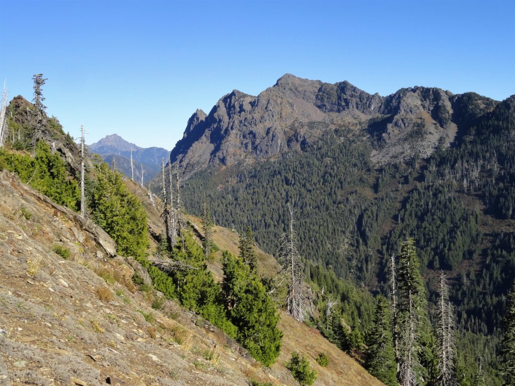
Read MoreDirty Face Ridge– Make a clean break from Mount Townsend’s crowds

Quick Facts: Location: Buckhorn Wilderness, Northeast Olympic Peninsula Land Agency: Olympic National Forest Roundtrip: 7.8 miles Elevation gain: 3,000 feet Green Trails Maps: Olympic Mountains East No. 168SX Recommended Guidebook: Day Hiking Olympic Peninsula 2nd edition (Mountaineers Books) by Craig Romano Contact: Hood Canal District, Olympic National Forest Quilcene Access: Take US 101 to Louella…
Read MoreMount Walker–excellent views at the eastern edge of the Olympic Mountains
Quick Facts: Location: Northeast Olympic Peninsula Land Agency: Olympic National Forest Roundtrip: 5.0 miles Elevation gain: 2050 feet Contact: Hood Canal Ranger District Green Trails Map: Olympics East no. 168S Notes: In winter the road is gated. Park away from gate and walk .3 mile to trailhead. Recommended Guidebook: Day Hiking Olympic Peninsula 2nd edition (Mountaineers…
Read More