Puget Sound – Islands & Lowlands
Langus Waterfront Trail
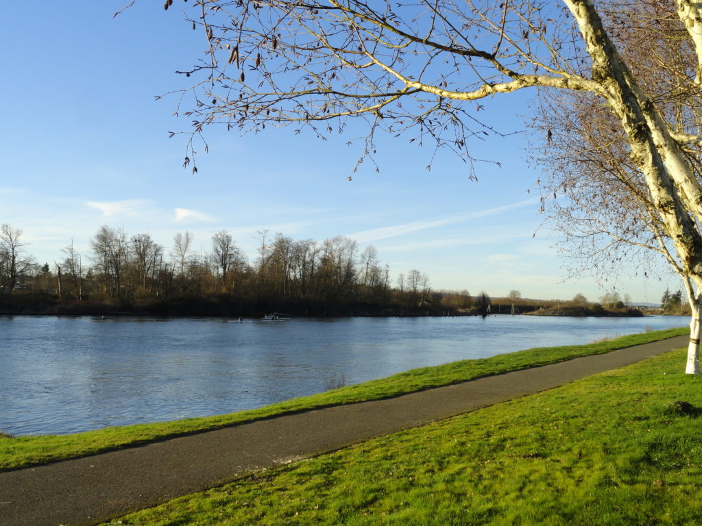
A slough of surprises await just minutes from downtown Everett Quick Facts: Location: City of Everett Land Agency: Everett Parks and Recreation Department Roundtrip: 4.0 miles Elevation Gain: None Access: From Everett, take Exit 195 off of I-5 turning left onto East Grand Ave. In 0.5 mile bear right onto East Marine View Drive and follow…
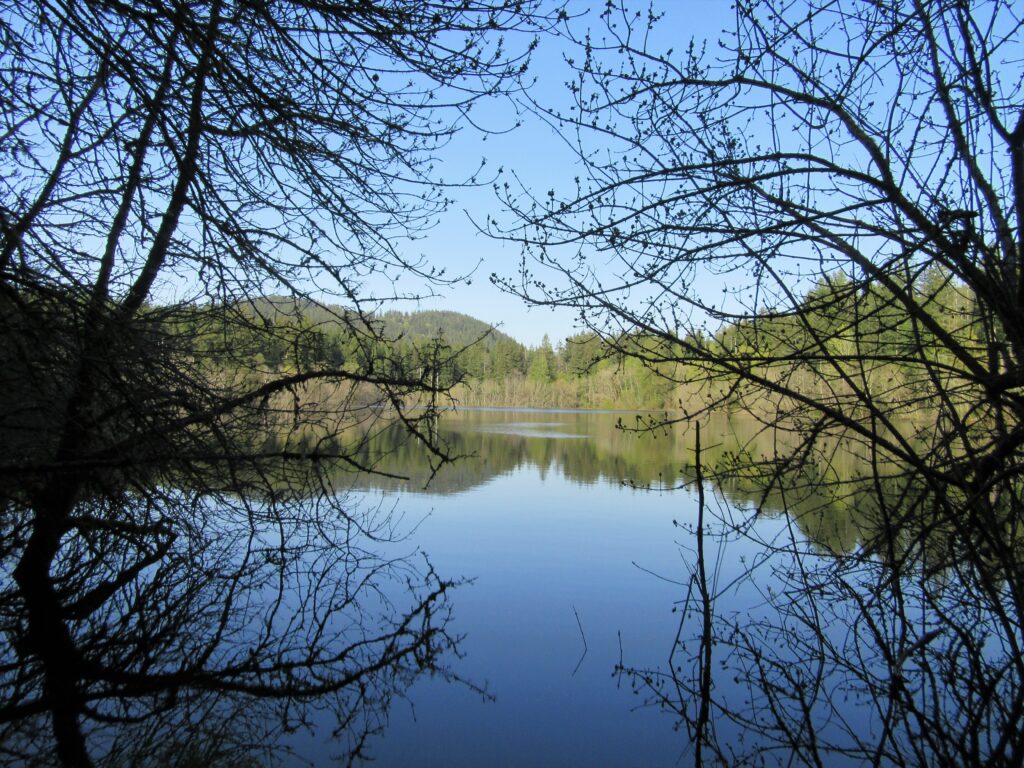
Read MoreLake Cassidy─ADA Trail to a pretty lake along the Centennial Trail
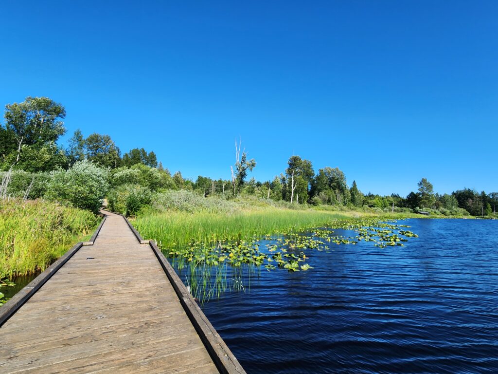
Quick Facts: Location: Marysville Land Agency: Snohomish County Parks Roundtrip: 2.5 miles Elevation Gain: 50 feet Access: From Marysville (Exit 199 I-5) follow SR 528 for 3.0 miles east to SR 9. Head north on SR 9 for 1.0 mile to junction with 84th Street NE. Turn right (east) and continue for just shy of…
Read MoreJay Lake — Solitude and camping at Wallace Falls State Park

Quick Facts: Location: Skykomish River Valley, US 2 Land Agency: Washington State Parks Roundtrip: 11.5 miles Elevation gain: 1,575 feet Green Trails Map: Contact: Wallace Falls State Park Notes: Discover Pass required; Dogs must be leashed; Camping requires a permit-attain from park prior to trip. Access: From Everett, follow US 2 for 28 miles east…
Read MoreGuillemot Cove─Quiet nature retreat on Hood Canal
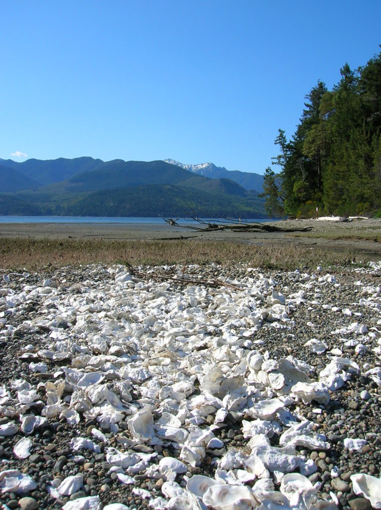
Quick Facts: Location: Kitsap Peninsula Land Agency: Kitsap County Parks Roundtrip: 2.5 miles Elevation Gain: 350 feet Contact: Kitsap County Parks Notes: Dogs prohibited. Access: From Bremerton, follow SR 3 North to Newberry Hill Road Exit. Then head west for 3.0 miles turning right onto Seabeck Highway. Continue for 5.0 miles to Seabeck turning right…
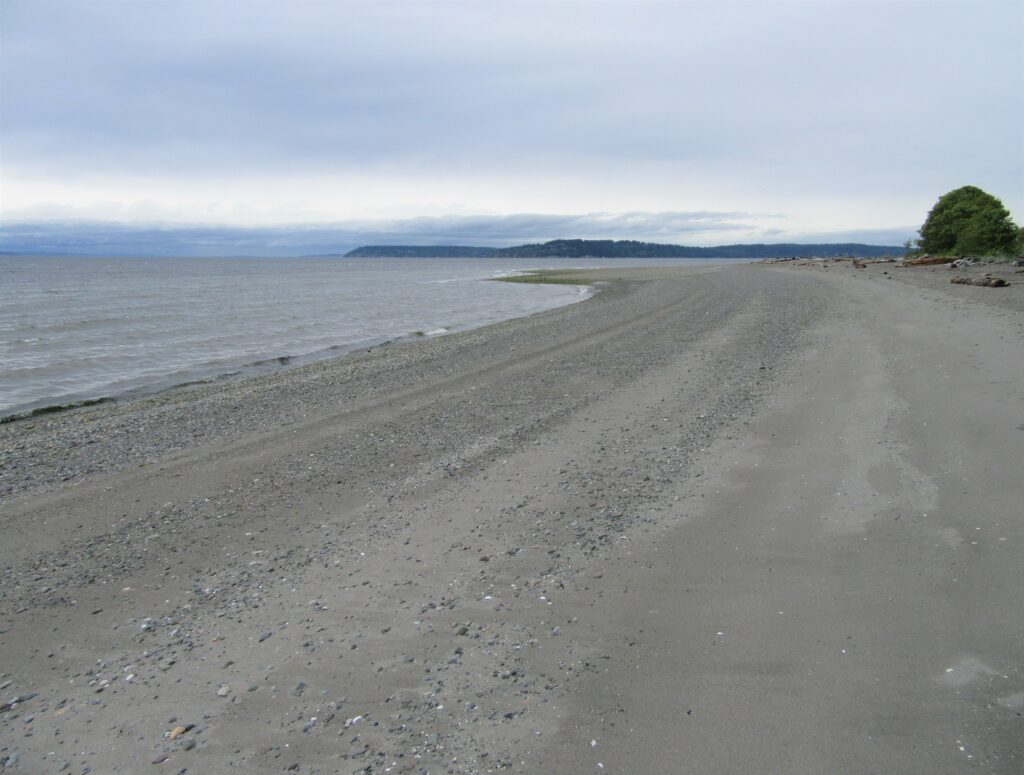
Read MoreBilly Frank Jr. Nisqually National Wildlife Refuge– Delightful hiking on the delta
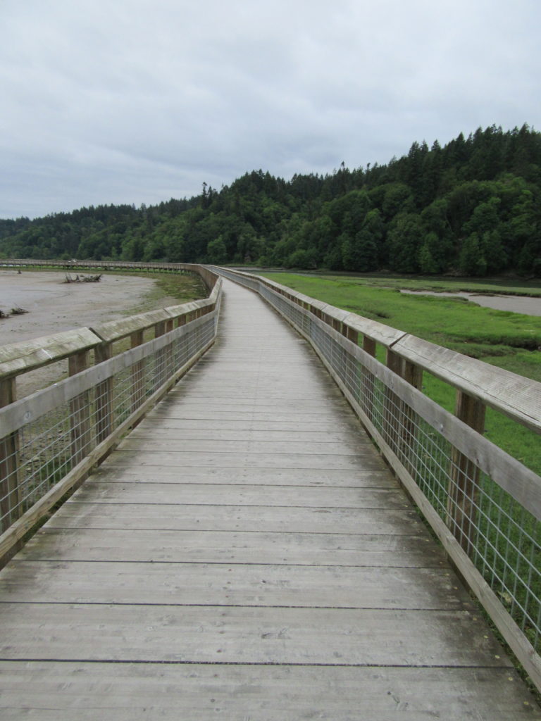
Quick Facts: Location: Nisqually River Delta Land Agency: United States Fish and Wildlife Service Roundtrip: 4.2 miles Elevation Gain: minimal Contact: Billy Frank Jr. Nisqually National Wildlife Refuge Map: Refuge Map Notes: $3.00 per four adults entrance fee; or Interagency Passes accepted; dogs prohibited; Northern end of the Nisqually Estuary Trail is closed from October to…
Read MoreTradition Lake Plateau
Wander family-friendly trails at the base of Tiger Mountain Quick Facts: Location: Issaquah Alps Distance: more than 8.9 miles of trails Elevation Gain: up to 250 feet Contact: Washington DNR and City of Issaquah Recommended Guidebook: Urban Trails Eastside (Mountaineers Books) Notes: Discover Pass required; parking lot fills fast on weekends requiring street parking (permissible…
Read MoreMeadowdale Beach—Reach the Beach through an Emerald Gulch
Quick Facts: Location: Lynnwood Land Agency: Snohomish County Parks Roundtrip: 2.5 miles Elevation Gain: 425 feet Contact: Snohomish County Parks Special Notes: Dogs must be leashed; park open 7 am to dusk: do not park on road Access: From Everett, head 10 miles south on I-5 to exit 183. Follow 164th Street SW west for…
Read MoreRiver Meadows Park─Wander along the Stillaguamish River
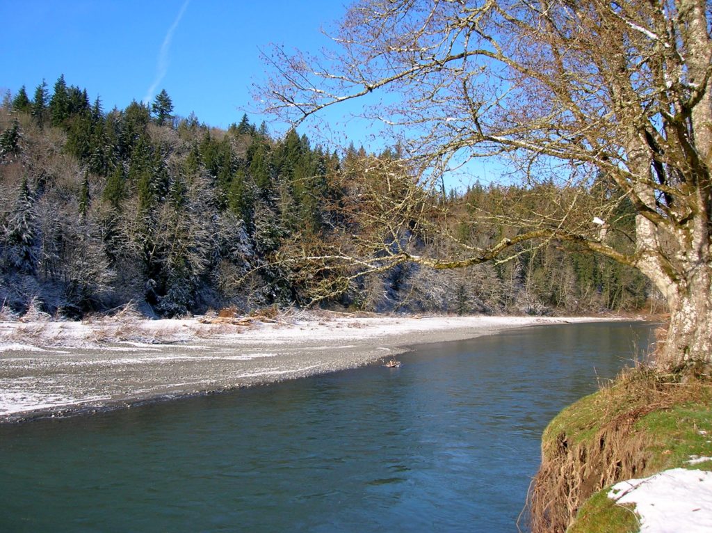
Quick Facts: Location: South Fork Stillaguamish River, near Arlington Land Agency: Snohomish County Parks Roundtrip: 2.5 miles Elevation Gain: 150 feet Contact: Snohomish County Parks Notes: Dogs must be leashed. Access: From Exit 208 on I-5 head east on SR 530 to Arlington. One mile beyond junction with SR 9 (just after crossing the South…
Read MoreAnderson Point County Park
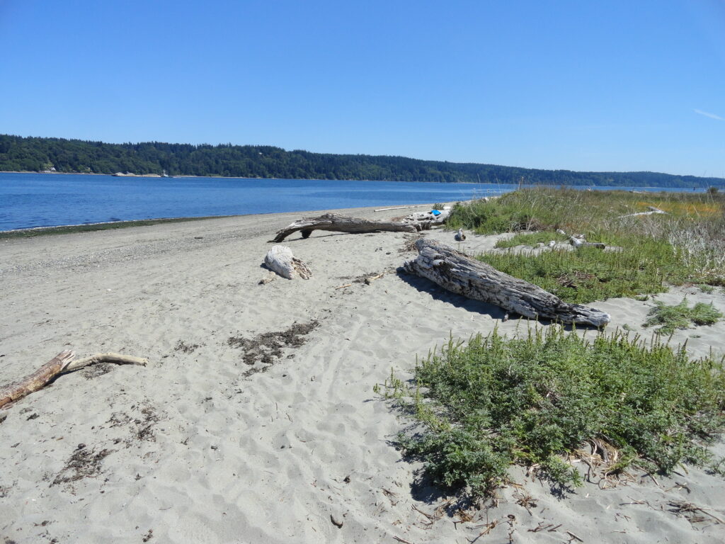
Short hike to one of the finest beaches on the Kitsap Peninsula Quick Facts: Location: Kitsap Peninsula Distance: 1.4 miles roundtrip Elevation Gain: 250 feet Contact: Kitsap County Parks Recommended Guidebook: Urban Trails Kitsap (Mountaineers Books) Notes: dogs permitted on leash; Park open from 6:00 am to 8:30 pm; do not park along Millihanna Road…
Read MoreChambers Creek Regional Park
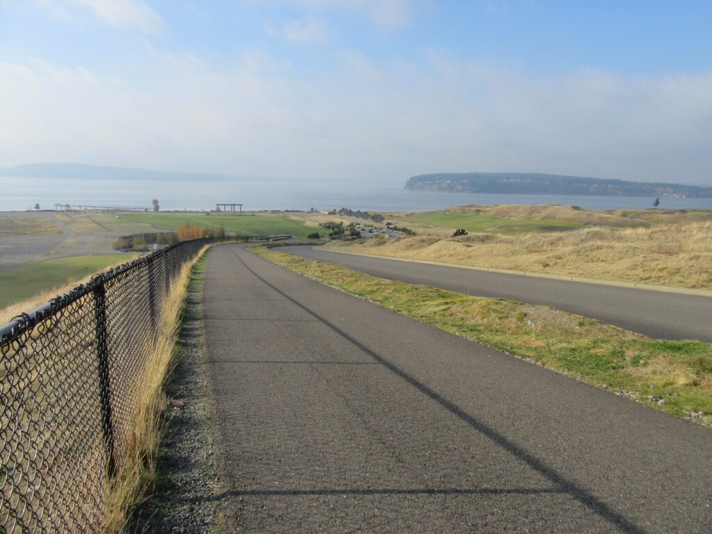
Explore an old quarry resurrected as a grand park Quick Facts: Location: University Place (Tacoma) Distance: more than 6.0 miles of trails Elevation Gain: up to 230 feet Contact: Pierce County Parks Recommended Guidebook: Urban Trails Tacoma (Mountaineers Books) Notes: dogs permitted on leash and there is an off-leash area; some trails jogger-stroller and wheel…
Read More