Puget Sound – Islands & Lowlands
Twanoh Creek Loop
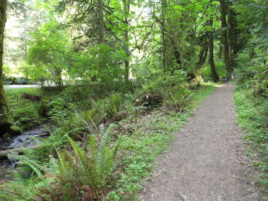
Wander a quiet ravine above Hood Canal Quick Facts: Location: Twanoh State Park, Hood Canal Land Agency: Washington State Parks Round Trip: 2.3 miles Elevation Gain: 400 feet Contact: Twanoh State Park Detailed Information: Urban Trails Kitsap Peninsula (Mountaineers Books) Notes: Discover Pass required. Dogs permitted on leash. Access: From Bremerton head west on SR…
Read MorePortage Creek Wildlife Area─Wetland wandering on the Stillaguamish Floodplain

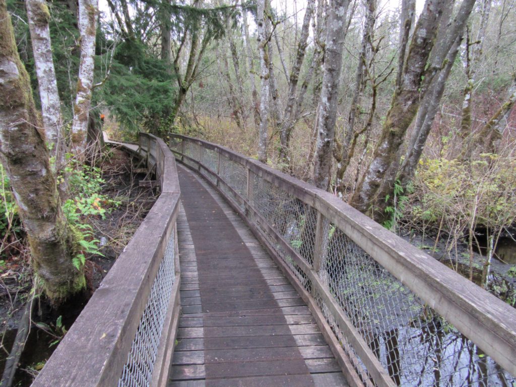
Quick Facts: Location: Arlington Land Agency: Snohomish County Parks and Recreation Contact: Snohomish Parks and Recreation Department Roundtrip: 2.0 miles Elevation Gain: minimal Notes: Dogs prohibited Access: From Exit 208 on I-5 (Arlington) head east on SR 530 for 2.3 miles. Then turn right onto 59th Ave SE. Continue for 0.2 mile and turn right…
Read MoreWeowna Park
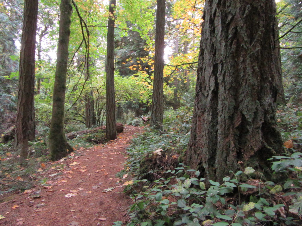
Hike a quiet forested bluff above Lake Sammamish Quick Facts: Location: Bellevue, WA Land Agency contact: city of Bellevue Parks and Recreation Round Trip: 2.5 miles of trails Elevation Gain: up to 500 feet Detailed Information: Urban Trails Eastside (Mountaineers Books) Map: online Notes: dogs permitted on leash Access: From I-90 exit 11B in Bellevue…
Read MoreWest Hylebos Wetlands Park
Exceptional peat bog in heart of Puget Sound urban sprawl Quick Facts: Location: Federal Way, WA Land Agency contact: city of Federal Way Parks and Recreation Round Trip: 1.4 miles of trails Elevation Gain: 225 feet Detailed Information: Urban Trails Tacoma (Mountaineers Books) Notes: Dogs prohibited. Park open dusk to dawn Access: From I-5 Exit…
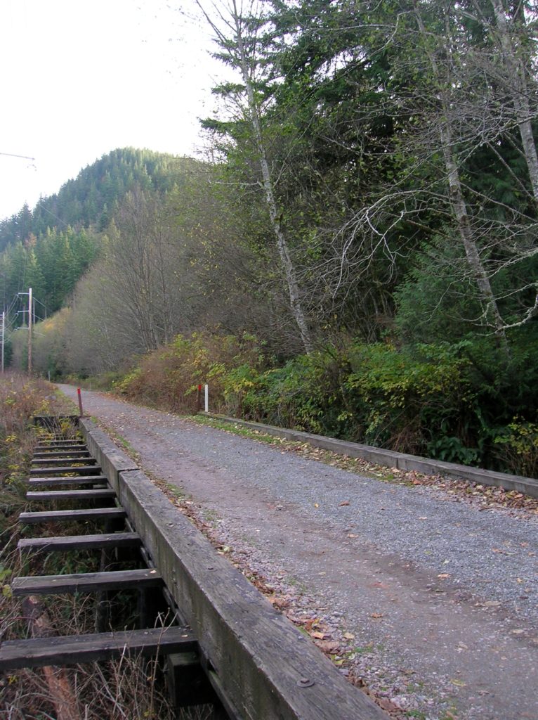
Read MoreCrescent Lake─Swan stop at the confluence of the Skykomish and Snoqualmie Rivers
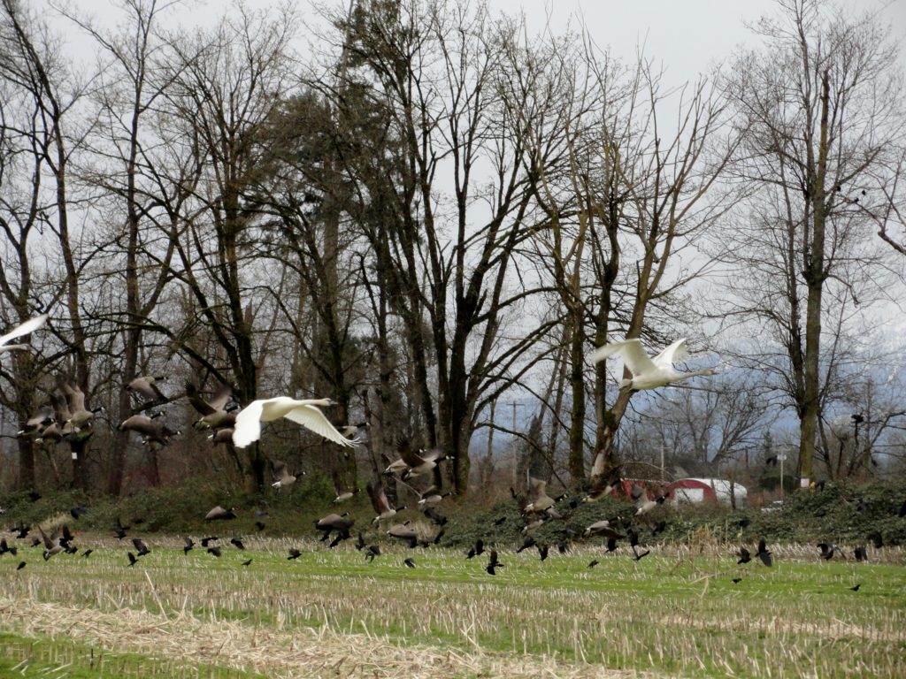
Quick Facts: Location: Snoqualmie Valley south of Monroe Land Agency: Washington Department of Fish and Wildlife (WDFW) Roundtrip: 2.2 miles Elevation Gain: None Notes: Discover Pass required; Crescent Lake is an active hunting area, so be aware of hunting seasons. Access: From Everett follow US 2 east to Monroe. Turn right onto SR 203 and follow for 3.8 miles turning right onto…
Read MoreMount Erie
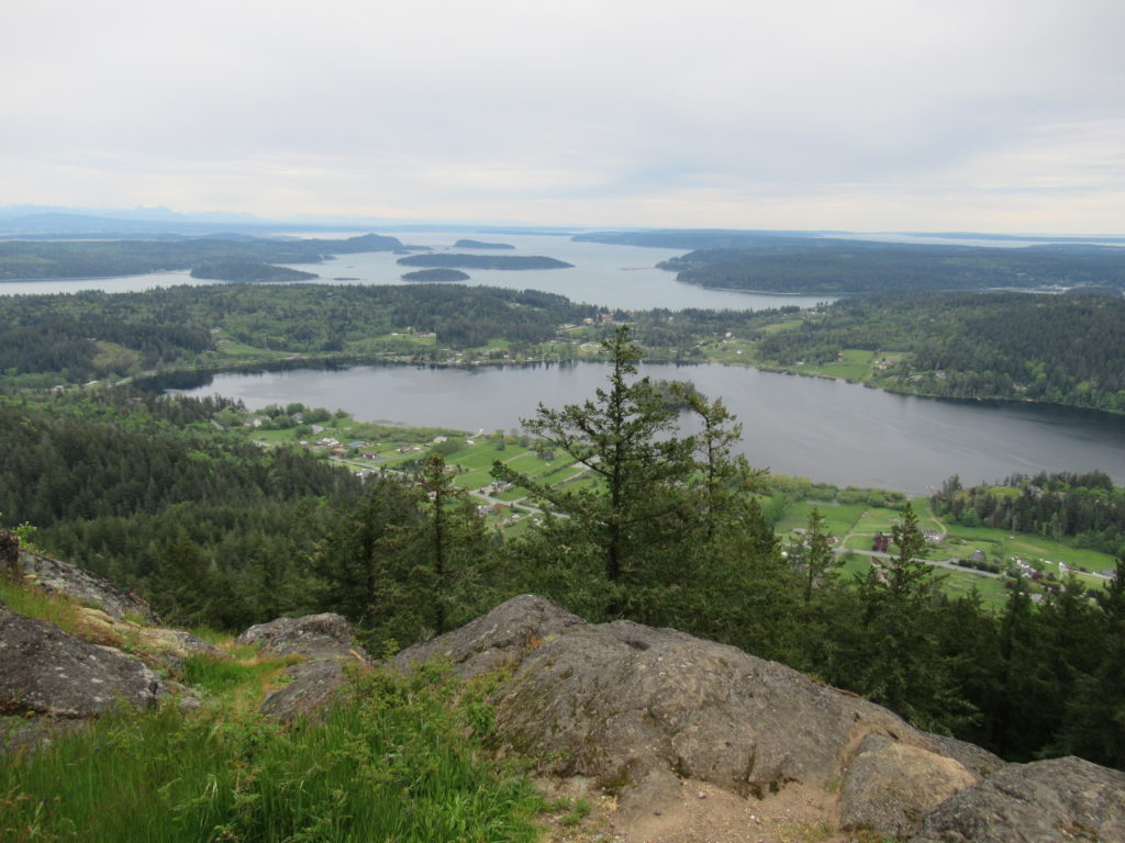
Fidalgo Island highpoint grants sweeping views Quick Facts: Location: Fidalgo Island Land Agency: Anacortes Community Forest Lands (ACFL) Round Trip: 5.2 miles Elevation Gain: 910 feet Contact: Anacortes Parks and Recreation Detailed Information: Day Hiking San Juans and Gulf Islands (Mountaineers Books) Map: online Notes: Dogs permitted on leash. Some trails open to bicycles, horses…
Read MoreChristmas Lake and Cedar Butte- Bad tidings and spelling
Quick Facts: Location: Snoqualmie Valley near North Bend Land Agency: Washington State Parks Roundtrip: 4.2 miles Elevation Gain: 900 feet Green Trails Map: Rattlesnake Mountain Upper Snoqualmie Valley 205S Access: From Seattle take I-90 east to exit 32 in North Bend turning right (south) onto 436th Ave SE which soon becomes Cedar Falls Road. Follow for 3.1…
Read MoreFour Springs Lake Preserve
Explore a former farm in the heart of Camano Island Quick Facts: Location: Camano Island Land Agency: Island County Parks Round Trip: 1.5 miles of trails Elevation Gain: up to 200 feet Contact: Island County Parks Detailed Information: Urban Trails Everett (Mountaineers Books) Notes: Dogs permitted on leash. No map online but available in pamphlet,…
Read MorePenrose Point State Park
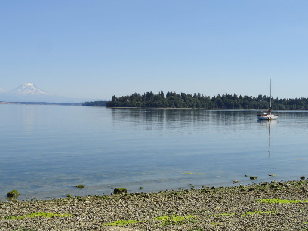
Madronas, big maples and sweeping views of Mount Rainier Quick Facts: Location: Key Peninsula Land Agency: Washington State Parks Round Trip: 2.5 miles of trails Elevation Gain: 200 feet Contact: Penrose Point State Park Detailed Information: Urban Trails Kitsap (Mountaineers Books) Notes: Discover Pass required, Dogs permitted on leash Access: From Purdy (just north of…
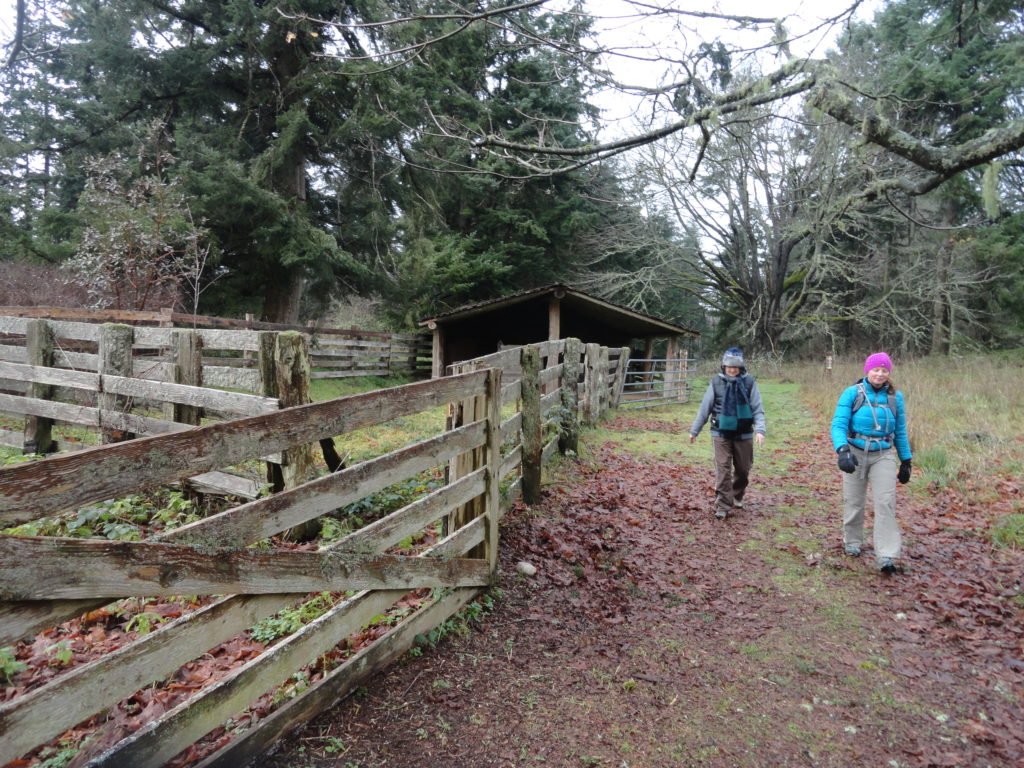
Read MoreEvans Creek Preserve
A glimpse of the Eastside pre-Microsoft Quick Facts: Location: Sammamish Land Agency: Sammamish Parks and Recreation Distance: 3.5 miles of trails Elevation Gain: up to 475 feet Contact: Sammamish Parks and Recreation Detailed Information: Urban Trails Eastside (Mountaineers Books) Notes: Dogs permitted on leash Access: From Redmond Head east on SR 202 for 4.0 miles…
Read More