Puget Sound – Islands & Lowlands
Green River Natural Area–Explore this Sprawling Greenbelt between Auburn and Enumclaw
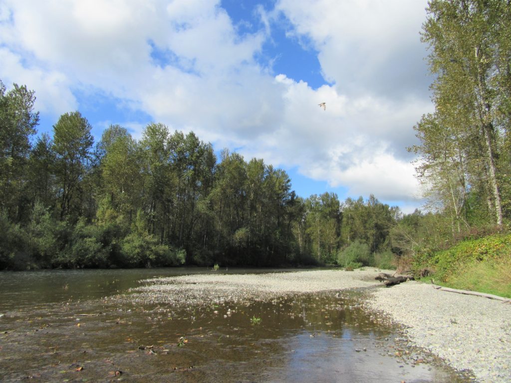
Quick Facts: Location: South King County Land Agency: King County Parks Round Trip: more than 7 miles of trails Elevation Gain: up to 650 feet Contact: King County Parks Recommended Resource: Urban Trails Tacoma (Mountaineers Books) Notes: Dogs allowed on leash Access: From SR 18 in Auburn the exit for SR 164 (Auburn Way S)…
Read MoreChuckanut Ridge — Follow a rough and tumble ridge to sweeping viewpoints
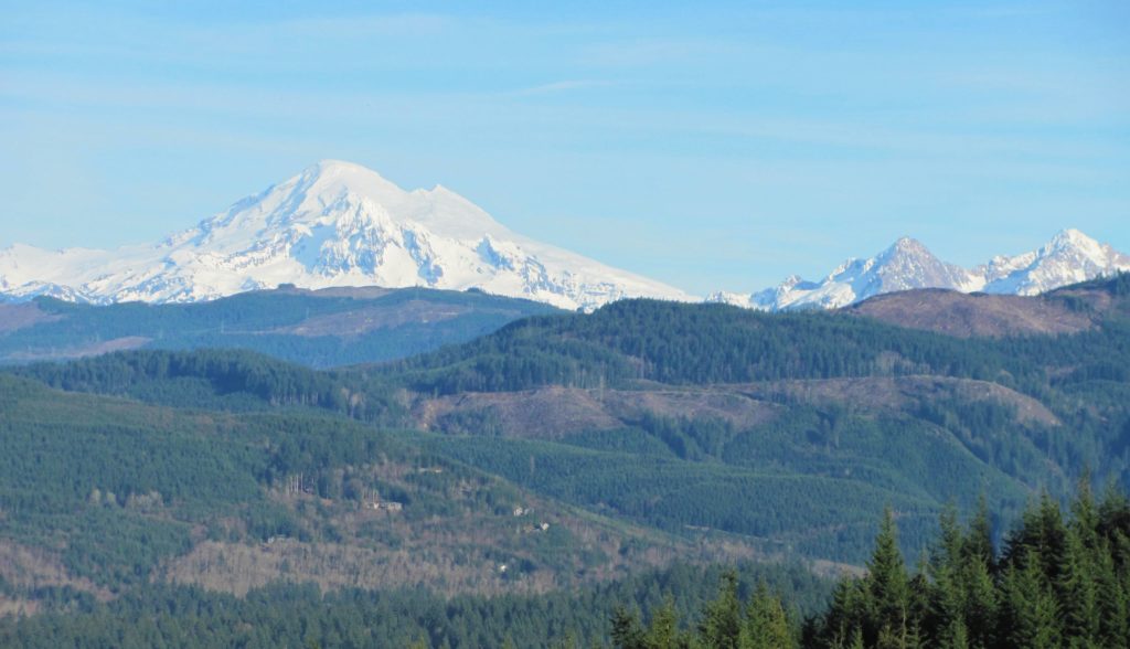
Quick Facts: Location: Chuckanut Mountains Land Agency: Whatcom County Parks and Washington State Parks Round Trip: 10.8 miles roundtrip Elevation Gain: 2000 feet Contact: Whatcom County Parks Recommended Resource: Urban Trails Bellingham (Mountaineers Books) Detailed map: Square One Maps Chuckanut Recreation Area Notes: Dogs allowed on leash Access: From Bellingham follow I-5 south to Fairhaven…
Read MoreDouble Bluff – Dog-friendly beach hiking on Whidbey Island
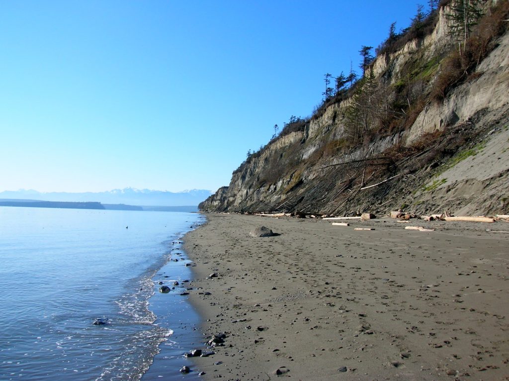
Quick Facts: Location: Whidbey Island Land Agency: Island County Parks, Washington State Parks, and the Washington DNR Roundtrip: 4.0 miles Elevation Gain: None Access: Take State Ferry from Mulkiteo to Clinton on Whidbey Island. Continue north on SR 525 for 8.5 miles turning left onto Double Bluff Road. Proceed for 2.0 miles to road end…
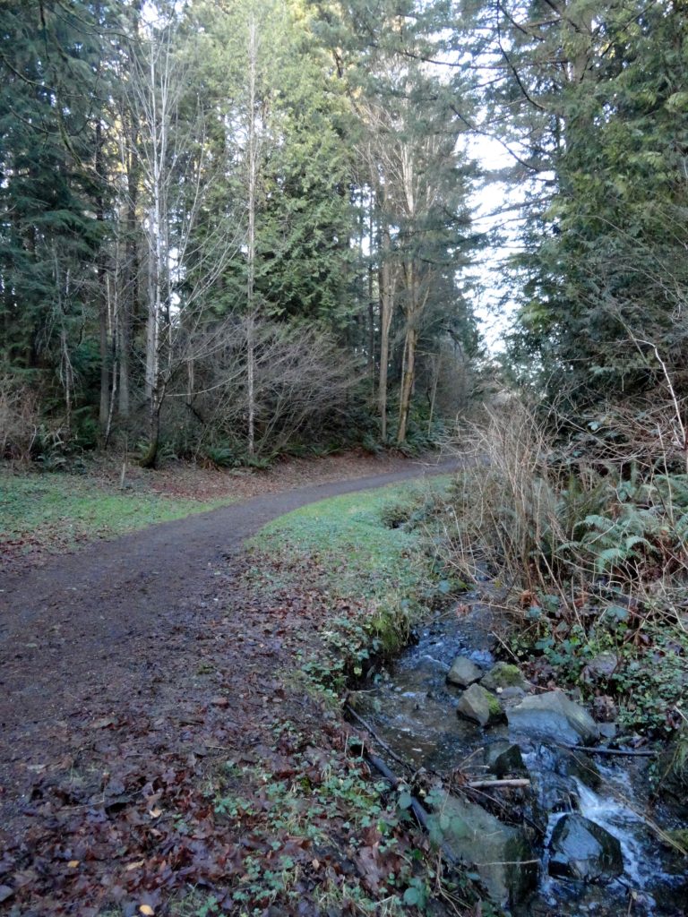
Read MoreHertz Trail –Hike along a wild shoreline of Lake Whatcom
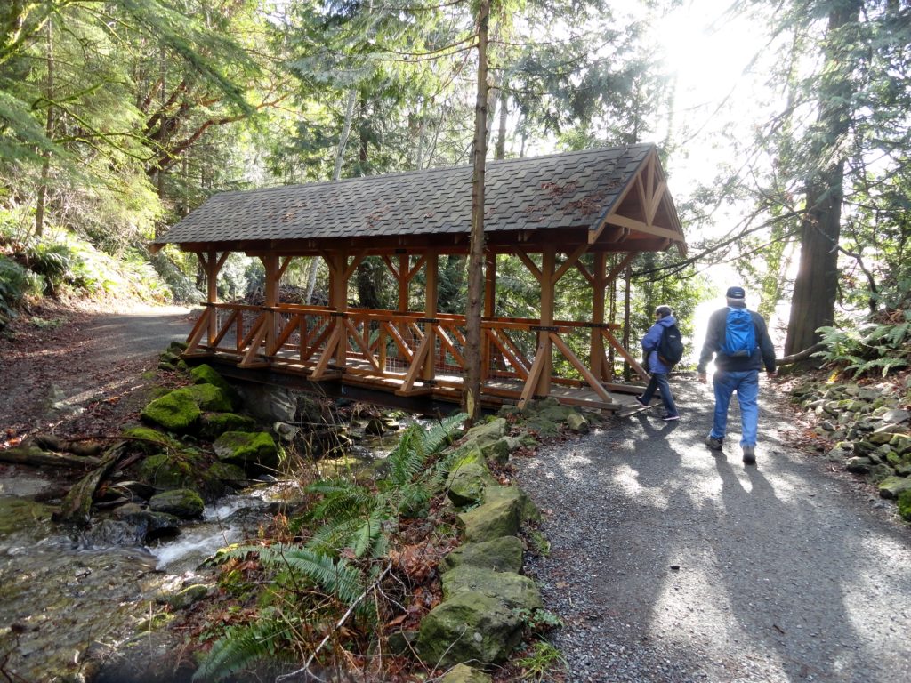
Quick Facts: Location: western Whatcom County, near Bellingham Land Agency: Whatcom County Parks Round Trip: 6.2 miles roundtrip Elevation Gain: 60 feet Contact: Whatcom County Parks Detailed Information: Urban Trails Bellingham (Mountaineers Books) Notes: Dogs allowed on leash Access: From Bellingham follow I-5 to Exit 253. Then follow Lakeway Drive east for 1.7 miles bearing…
Read MoreHeart Lake– A perfect destination for a St. Valentine’s Day hike

Quick Facts: Location: Fidalgo Island Land Agency: Anacortes Parks Department Roundtrip: 3.0 miles Green Trails Map: Deception Pass/Anacortes Community Forest Lands No. 41S Elevation gain: 160 feet Contact: City of Anacortes Parks and Recreation; Friends of the Forest Notes: Dogs must be leashed; some trails open to bicycles, horses. Access: From Exit 230 on…
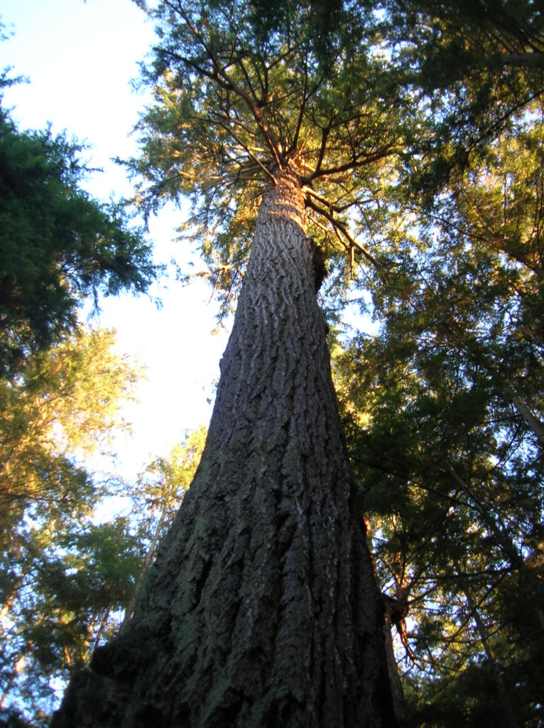
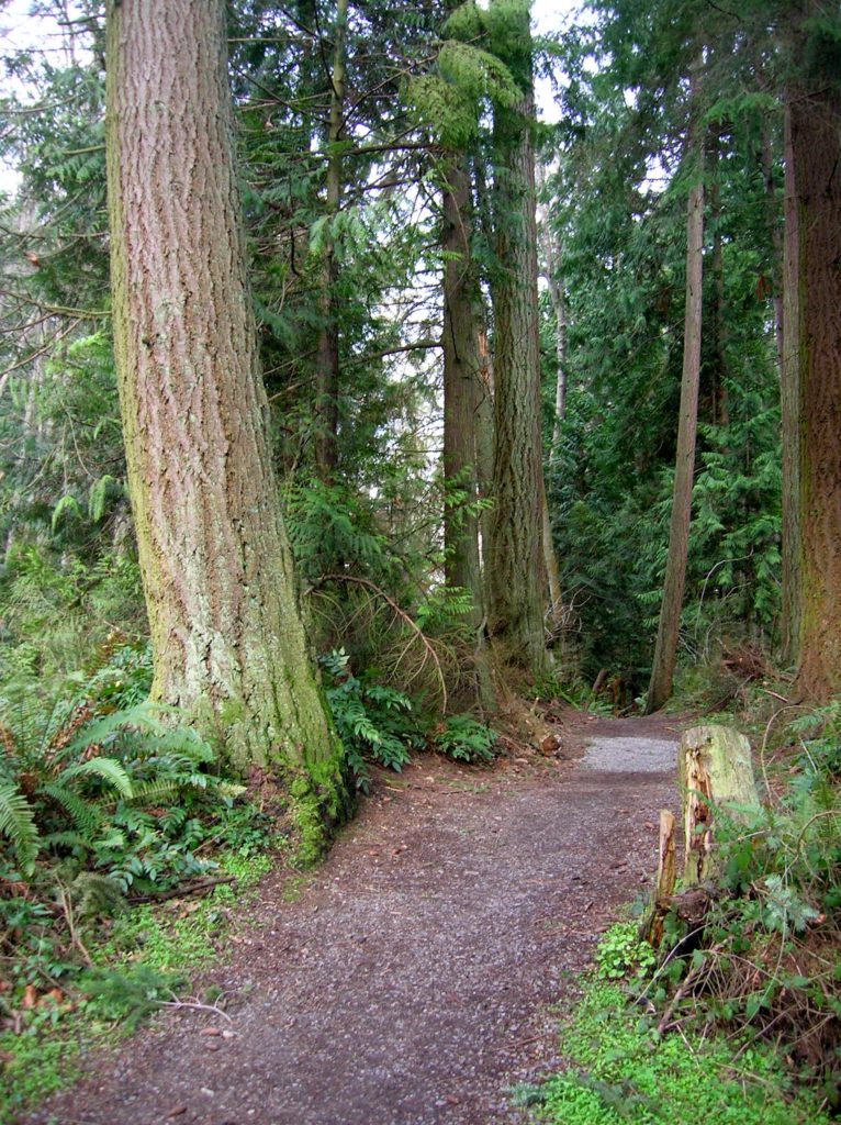
Read MoreSouth Whidbey State Park—Amble among ancient trees above the sound
Quick Facts: Location: Whidbey Island Land Agency: Washington State Parks Roundtrip: 2.3 miles Elevation Gain: 200 feet Contact: South Whidbey State Park Notes: Discover Pass Required: Dogs must be leashed Access: From the Clinton Ferry Terminal on Whidbey Island follow SR 525 north for 9.4 miles turning left onto Bush Point Road. After 2.2 miles road…
Read MoreSouthwest County Park─Emerald Swath above Edmonds
Quick Facts: Location: Edmonds Land Agency: Snohomish County Parks and Recreation Roundtrip: Up to 5 miles Elevation Gain: up to 250 feet Access: From Everett follow I-5 south to exit 181. Now follow SR 524 (196th St SW) west passing SR 99 and in about another mile turn right onto 76th Ave W. Proceed for about .5…
Read MoreCentennial Trail: Haller Park to Lake Bryant–river, wetlands, and rural charm
Quick Facts: Location: Arlington Land Agency: Snohomish County Parks Roundtrip: 6.2 miles Elevation Gain: 100 feet Contact: Snohomish County Parks Notes: Paved trail is also open to bicycles and is wheelchair accessible; dogs must be leashed. Access: Southern Access is from Haller Park in Arlington near the junction of SR 9 and SR 530, four miles…
Read MorePadilla Bay Dike Trail–shore fine hike in the Skagit Valley
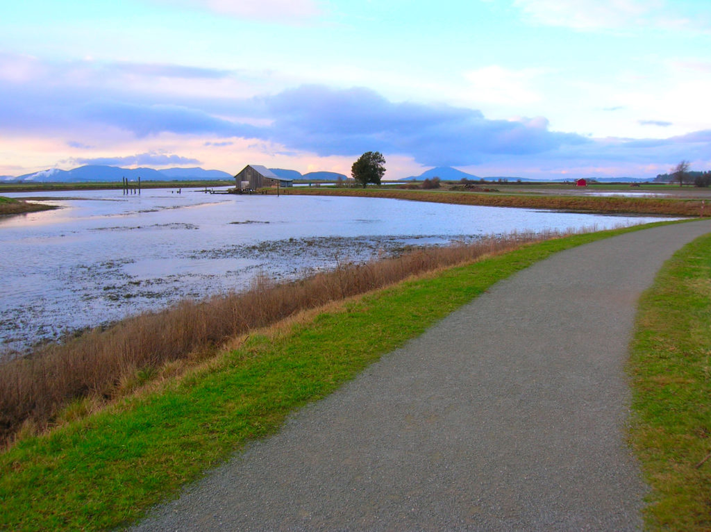
Quick Facts: Location: Skagit County Land Agency: Padilla Bay National Estuarine Research Reserve Roundtrip: 4.8 miles Elevation Gain: 30 feet Contact: Padilla Bay NERR Access: From Burlington (exit 231 on I-5) proceed through roundabouts and head west on Josh Wilson Road for 6.4 miles. Upon entering the village of Bay View turn left onto 2nd Street…
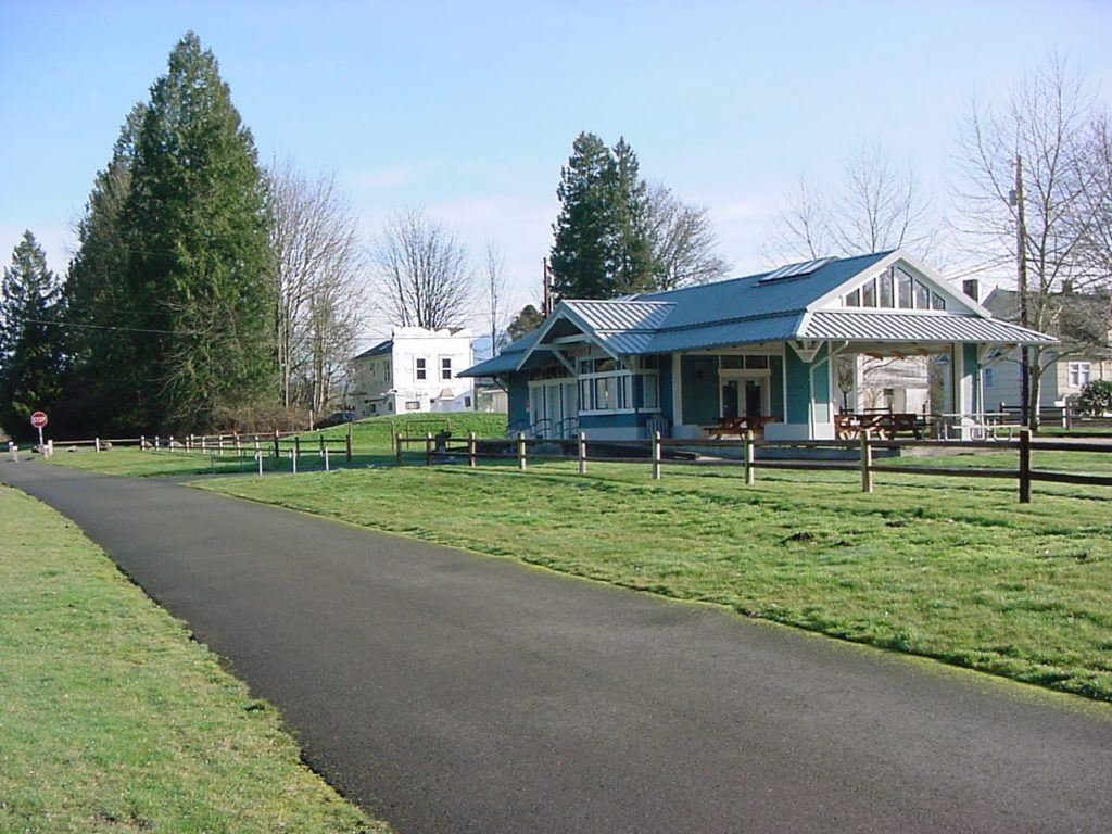
Read MoreCandy Cane Park (Terrace Creek Park)-Tis the season for a visit
Quick Facts: Location: Mountlake Terrace, southern Snohomish County Land Agency: City of Mountlake Terrace Roundtrip: 2.0 miles Elevation Gain: 125 feet Access: From Seattle: drive I-5 north to exit 178. Turn right and follow 236th Street SW for 0.7 mile. Then turn left onto 48th Ave W and drive north 0.2 mile to park and parking on your…
Read More