Snohomish County
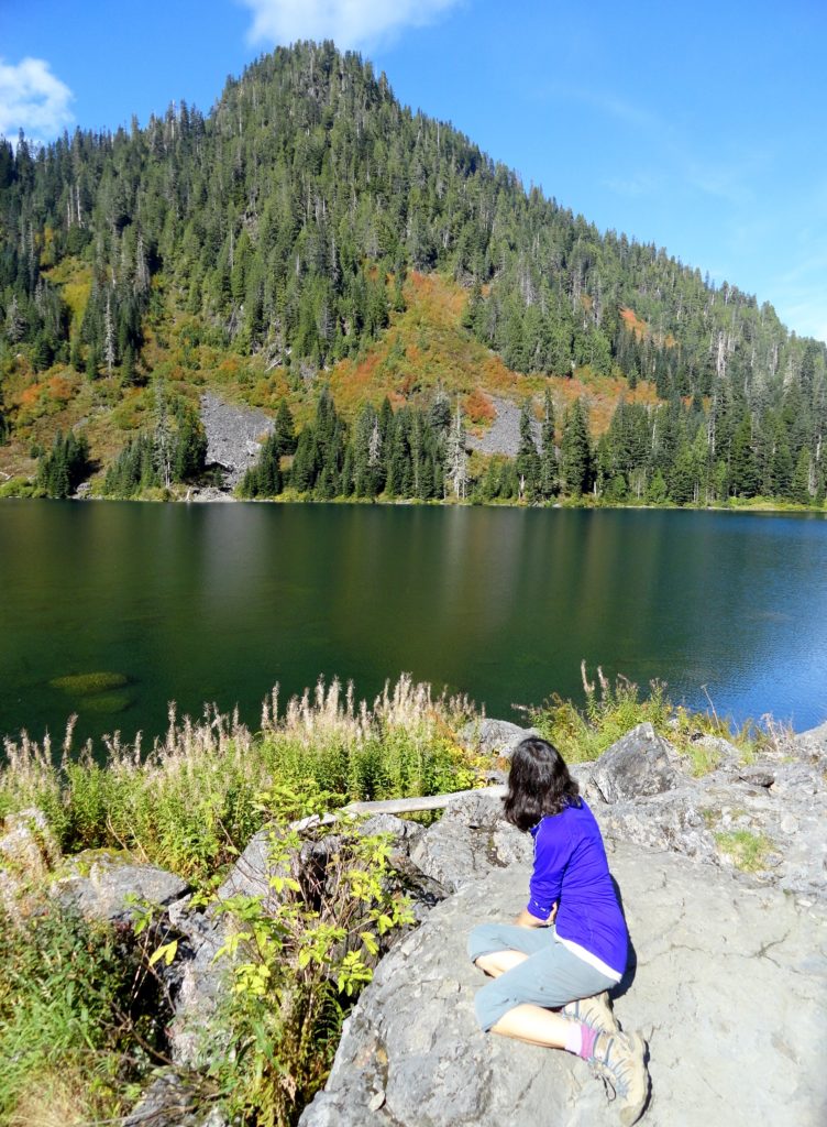
Pinnacle Lake — Pretty little lake perched on a shoulder of Mount Pilchuck
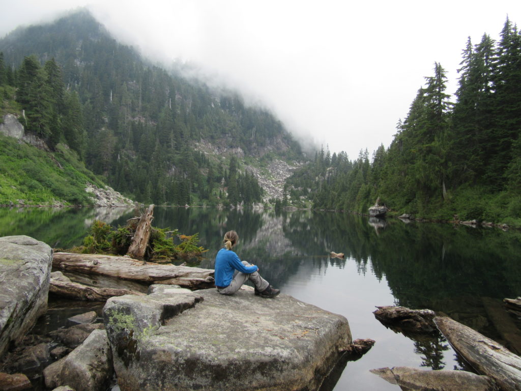
Quick Facts: Location: Mountain Loop Highway, near Granite Falls Land Agency: Mount Baker-Snoqualmie National Forest; Washington State Parks Roundtrip: 4.2 miles Elevation gain: 1,100 feet Green Trails Maps: Mountain Loop Highway 111SX Contact: Darrington Ranger District: Mount Baker-Snoqualmie National Forest Notes: access road is rough, high clearance vehicles recommended. Access: From Granite Falls follow the…
Read MoreLake Evan and Boardman Lake–Enjoy an easy hike to two family friendly lakes
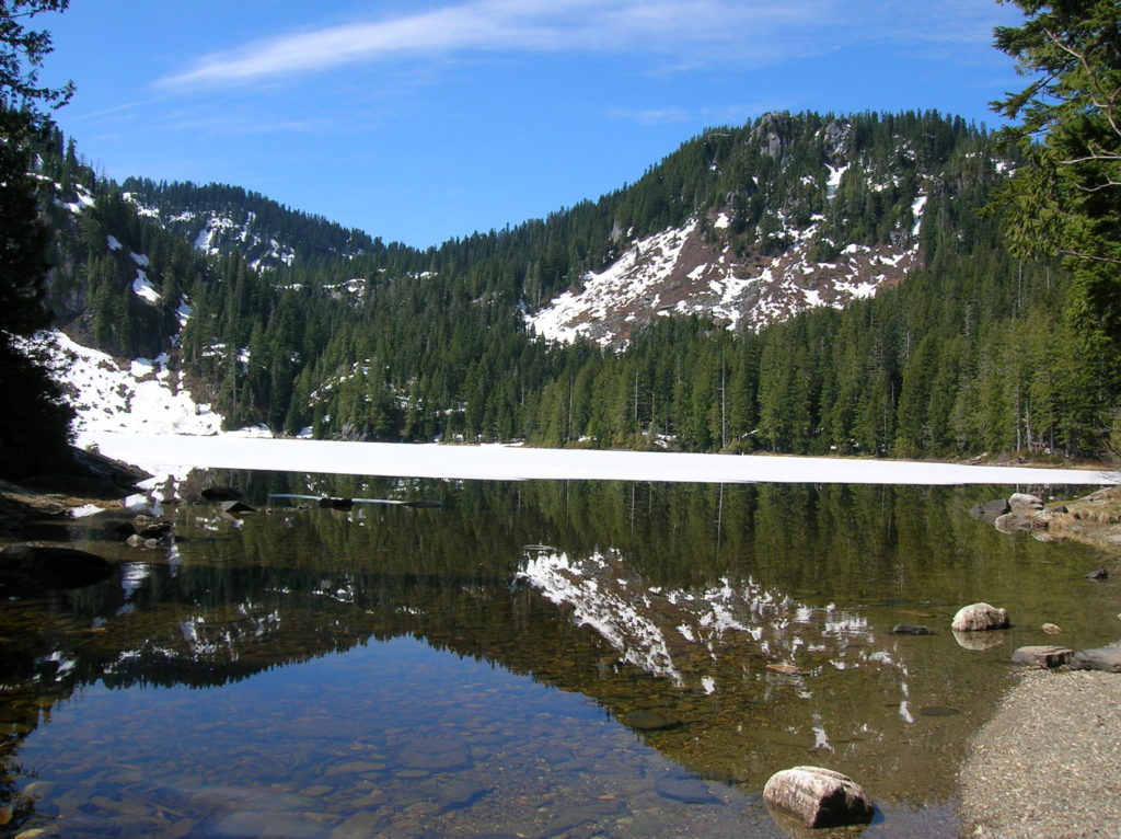
Quick Facts: Location: Mountain Loop Highway near Granite Falls Land Agency: Mount Baker-Snoqualmie National Forest Roundtrip: 2.0 miles Elevation gain: 300 feet Difficulty: easy (with some rough footing) Green Trails Map: Mountain Loop Highway 111SX Contact: Darrington Ranger District: Mount Baker-Snoqualmie National Forest Access: From Granite Falls, follow the Mountain Loop Highway east to the Verlot…
Read MoreQuarry Loop Trail─Lord Hill Park Trail is a cut above
Quick Facts: Location: Lord Hill Regional Park Land Agency: Snohomish County Parks Roundtrip: 2.0 miles Elevation Gain: 250 feet Access: From Monroe, exit SR 522 onto Main Street heading west and immediately coming to a roundabout. Bear right onto Tester Road and proceed 3.0 miles to a T-intersection just after passing under SR 522. Turn left and proceed to Tester…
Read MoreExplorer Falls–It's an easy search to find these falls

Quick Facts: Location: Near Lake Roesiger between Monroe and Granite Falls Land Agency: Washington DNR Roundtrip: 5.2 miles Elevation gain: 700 feet Contact: Washington DNR Notes: Discover Pass Required. Do not block gates, nor drive past it if open. Active logging area, be alert to trucks on roadway and yield right-of-way. Access: From Monroe, follow…
Read MoreYost Park– Slice of Nature in the heart of Edmonds
Quick Facts: Location: Edmonds Land Agency: Edmonds Parks and Recreation Department Roundtrip: About 1.5 miles of trails Elevation Gain: up to 300 feet Contact: Edmonds Parks and Recreation Access: From Everett or Seattle take I-5 to Exit 179. Then head west on 220th Street SW for 2.1 miles. Turn right and head north on 96th Ave…
Read MoreTwo Trees Trail─Two big pines and plenty of other trees, too!
Quick Facts: Location: Maltby Land Agency: Snohomish County Parks Roundtrip: 3.8 miles Elevation Gain: 75 feet Special Note: Dogs must be leashed. Contact: Snohomish County Parks Access: From SR 522 in Maltby (5.0 miles east of Woodinville; 8.0 miles west of Monroe) head east on Paradise Lake Road for 1.7 miles to trailhead. Snohomish County…
Read MoreLangus Waterfront Trail
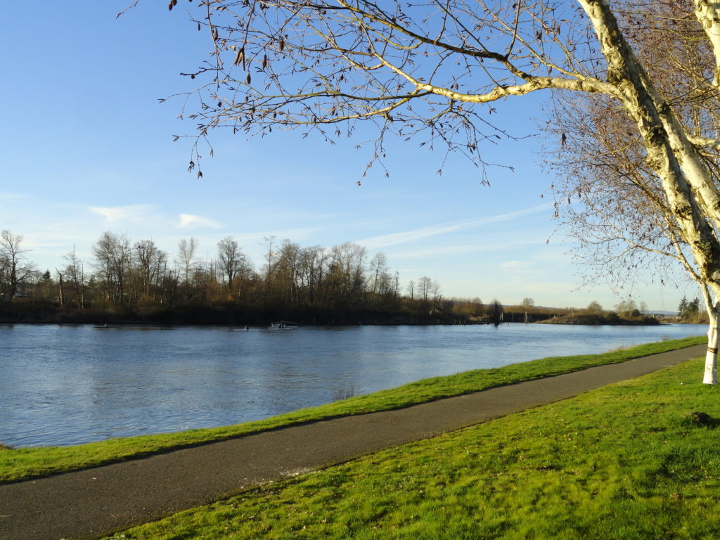
A slough of surprises await just minutes from downtown Everett Quick Facts: Location: City of Everett Land Agency: Everett Parks and Recreation Department Roundtrip: 4.0 miles Elevation Gain: None Access: From Everett, take Exit 195 off of I-5 turning left onto East Grand Ave. In 0.5 mile bear right onto East Marine View Drive and follow…
Read MoreSultan River Canyon Trail
A near yet remote canyon housing big trees and a wild stretch of river Quick Facts: Location: Sultan Basin Land Agency: Snohomish County Public Utility District Roundtrip: 4.4 miles Elevation Gain: 850 feet Green Trails Map: Mountain Loop Highway 111SX Access: From Everett follow US 2 east to Sultan. At a traffic light just past Milepost 23 turn left onto…
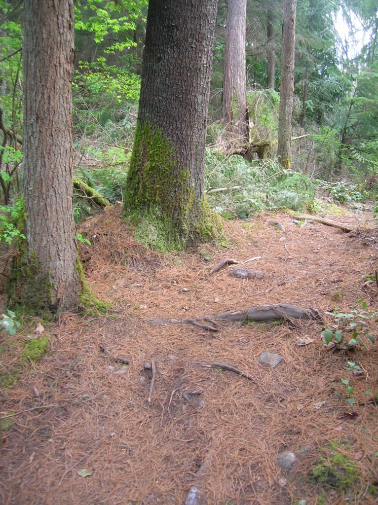
Read MoreLake Twentytwo─waterfalls, big cedars and a beautiful lake beneath Mount Pilchuck
Quick Facts Location: Mountain Loop Highway near Granite Falls Land Agency: Mount Baker-Snoqualmie National Forest Roundtrip: 5.4 miles Elevation Gain: 1,350 feet Green Trails Map: Mountain Loop Highway 111SX Notes: NW Forest Pass required; dogs permitted on leash; trail can get busy, practice Leave No Trace ethics and consider visiting on a weekday. Access: From…
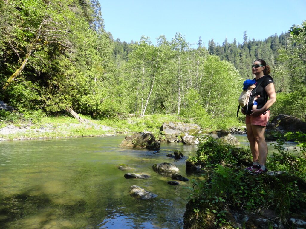
Read MoreSuiattle River– A wild river and majestic primeval forest within the shadows of Glacier Peak
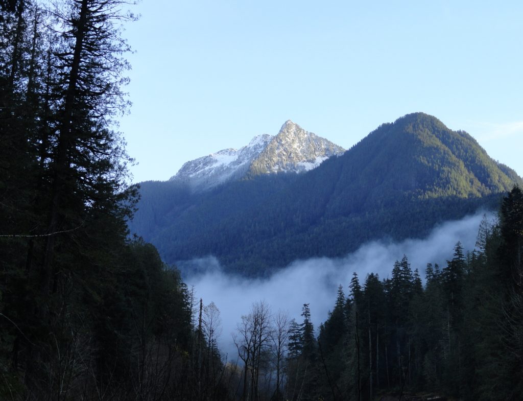
Quick Facts: Location: Suiattle River Road Land Agency: Mount Baker-Snoqualmie National Forest Roundtrip: 13.0 miles Elevation gain: 1,000 feet Green Trails Maps: Mountain Loop Highway no. 111SX Contact: Darrington Ranger District: Mount Baker-Snoqualmie National Forest Notes: Northwest Forest Pass or interagency pass required Access: From Darrington travel north on SR 530 for 7.5 miles turning…
Read More