Snohomish County
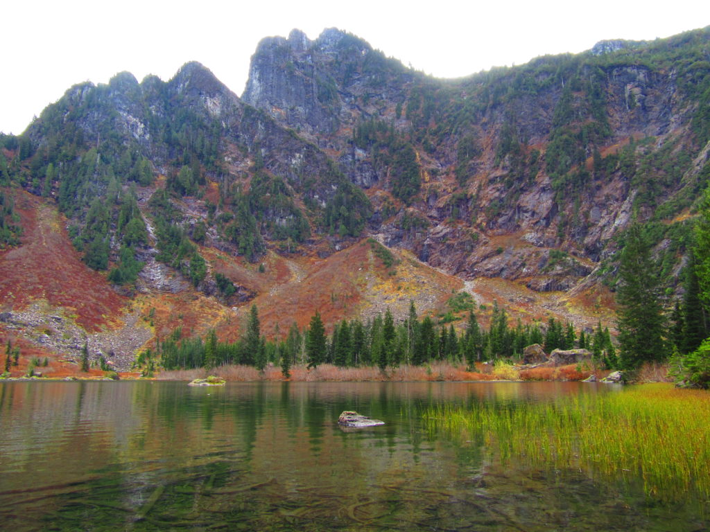
Greider Lakes — shimmering subalpine lakes in the Sultan Basin
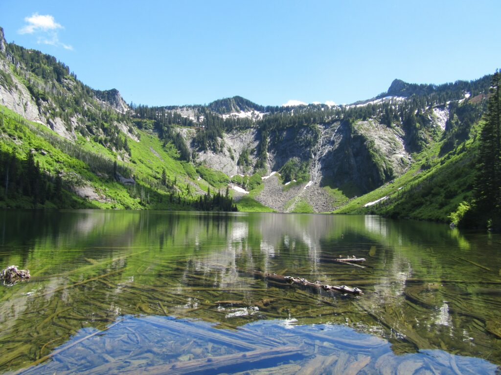
Quick Facts: Location: Sultan Basin Land Agency: Washington Department of Natural Resources Roundtrip: 9.6 miles Elevation gain: 1,600 feet Green Trails Map: Mountain Loop Highway 111SX Contact: Snohomish County Public Utility District Notes: Register (no fee) at entrance to watershed. Dogs must be on leash. Access: From Everett follow US 2 east to Sultan. At…
Read MoreEagle Lake—Tough hike to a raptor’s delight
Quick Facts: Location: Wild Sky Wilderness, Skykomish River Valley Land Agency: National Forest Service Roundtrip: 8.6 miles Elevation Gain: 1,750 feet Green Trails Map: Alpine Lakes West 176S Contact: Skykomish Ranger District: Mount Baker-Snoqualmie National Forest Notes: Northwest Forest Pass or Interagency Pass required. Access: From Everett, head east 41 miles on US 2 to Baring.…
Read MoreWhitehorse Trail East–Hike along the North Fork Stilly
Quick Facts: Location: SR 530 Darrington Land Agency: Snohomish County Parks Roundtrip: 14 miles Elevation gain: 160 feet Difficulty: Easy Contact: Snohomish County Parks Green Trails Map: Mountain Loop Highway no. 111SX Recommended Guidebook: Day Hiking North Cascades (Mountaineers Books) Notes: Dogs allowed on leash Access: Take exit 208 off of I-5 and drive 25 miles east…
Read MoreFlowing Lake–For peaceful wandering, go with the Flow in the springtime
Location: Three Lakes, east of Snohomish Land Agency: Snohomish County Parks Roundtrip: 1.2 miles Elevation gain: 100 feet Contact: Snohomish County Parks Notes: $10.00 day use fee; Dogs must be on leash Access: From Everett follow US 2 east for 10 miles turning left onto Westwick Road. Follow Westwick Road for approximately 2.0 miles bearing…
Read MoreEphemeral Trail–Enjoy lasting memories on this Paradise Valley Trail
Location: Maltby Land Agency: Snohomish County Parks Roundtrip: 4.0 miles Elevation gain: 200 feet Difficulty: Easy Contact: Snohomish County Parks Notes: Dogs must be on leash; partially open to mountain bikes and horses Access: From SR 522 in Maltby (5.0 miles east of Woodinville; 8.0 miles west of Monroe) head east on Paradise Lake Road…
Read MoreEdmonds Marsh─Over 225 species of birds on 23 acres of wetlands!
Quick Facts: Location: Edmonds Waterfront Land Agency: City of Edmonds Parks and Recreation Roundtrip: 1.8 miles Elevation Gain: Level Access: From I-5 follow SR 104 west towards the Edmonds-Kingston Ferry. One stoplight before the ferry terminal, turn left onto Dayton Street. Then continue for .1 mile to just before the railroad crossing. Turn left here…
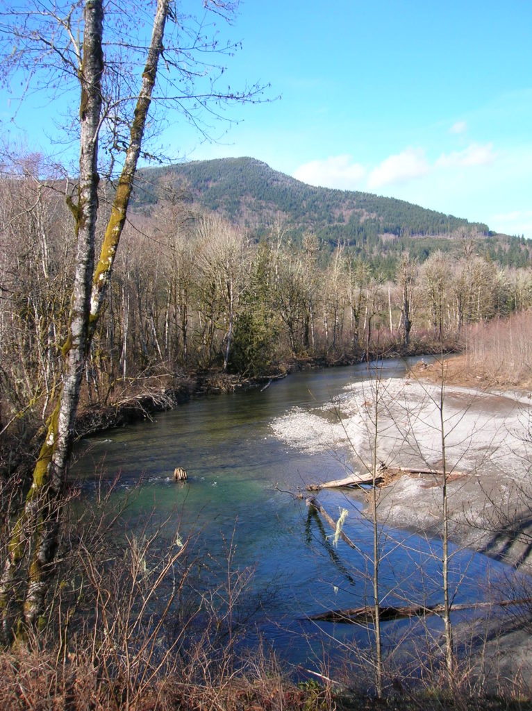
Read MoreRiver Trail–Big maples and hidden Snohomish riverfront at Lord Hill
Quick Facts: Location: Snohomish Valley Land Agency: Snohomish County Parks Roundtrip: 5.2 miles Elevation gain: 650 feet Contact: Snohomish County Parks Map: Snohomish County Parks Notes: Dogs permitted on leash Good to know: Dog-friendly, kid-friendly, snow-free winter hike, good trail running Access: From Everett follow US 2 to SR 9. Head south on SR 9 and exit…
Read MoreHeybrook Ridge–From the town of Index to stunning views of Mount Index
Quick Facts: Location: Skykomish Valley Land Agency: Snohomish County Parks Roundtrip: 3.4 miles Elevation Gain: 780 feet Contact: Friends of Heybrook Ridge Map: Green Trails, Alpine Lakes West Stevens Pass no. 176S Notes: Dogs allowed on leash Access: From Everett follow US 2 east for 35 miles turning left onto the Index Galena Road (just…
Read MoreWallace Falls –A classic series of falls and classic hike, fun for all
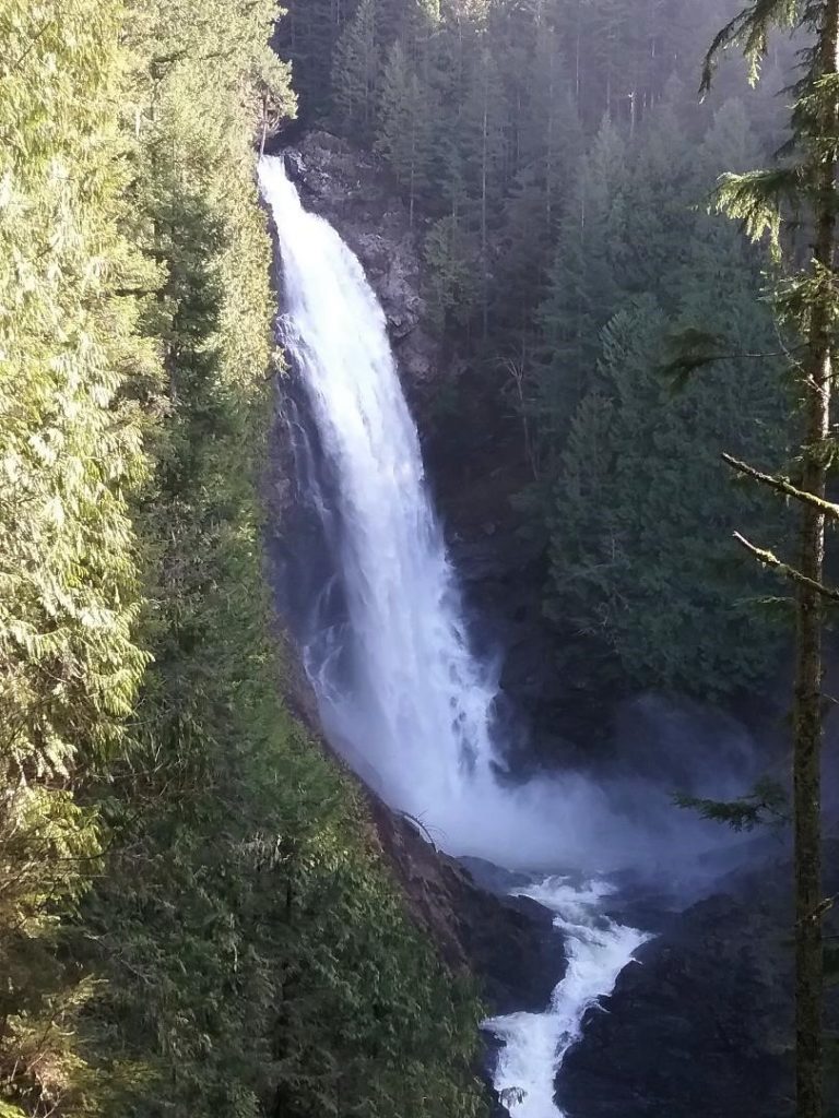
Quick Facts: Location: Skykomish River Valley Land Agency: Washington State Parks Roundtrip: 5.6 miles Elevation gain: 1,200 feet Green Trails Map: Alpine Lakes West Stevens Pass 176S Contact: Wallace Falls State Park Notes: Discover Pass required; Dogs must be leashed Access: From Everett follow US 2 for 28 miles east to Gold Bar. Just before…
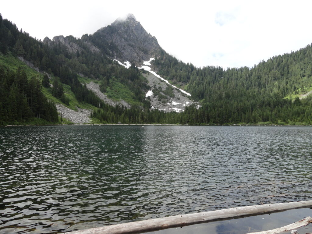
Read MoreHeather Lake — placid lake in a rugged cirque
Quick Facts: Location: Mountain Loop Highway near Granite Falls Land Agency: Mount Baker-Snoqualmie National Forest Roundtrip: 5.0 miles Elevation gain: 1,100 feet Difficulty: moderate Green Trails Map: Mountain Loop Highway Special Series 111SX Contact: Darrington Ranger District: Mount Baker-Snoqualmie National Forest Access: From Granite Falls, follow the Mountain Loop Highway east. One mile beyond the Verlot Visitors…
Read More