Snohomish County
Heybrook Lookout—Snowline prober above the Forks of the Wild Sky
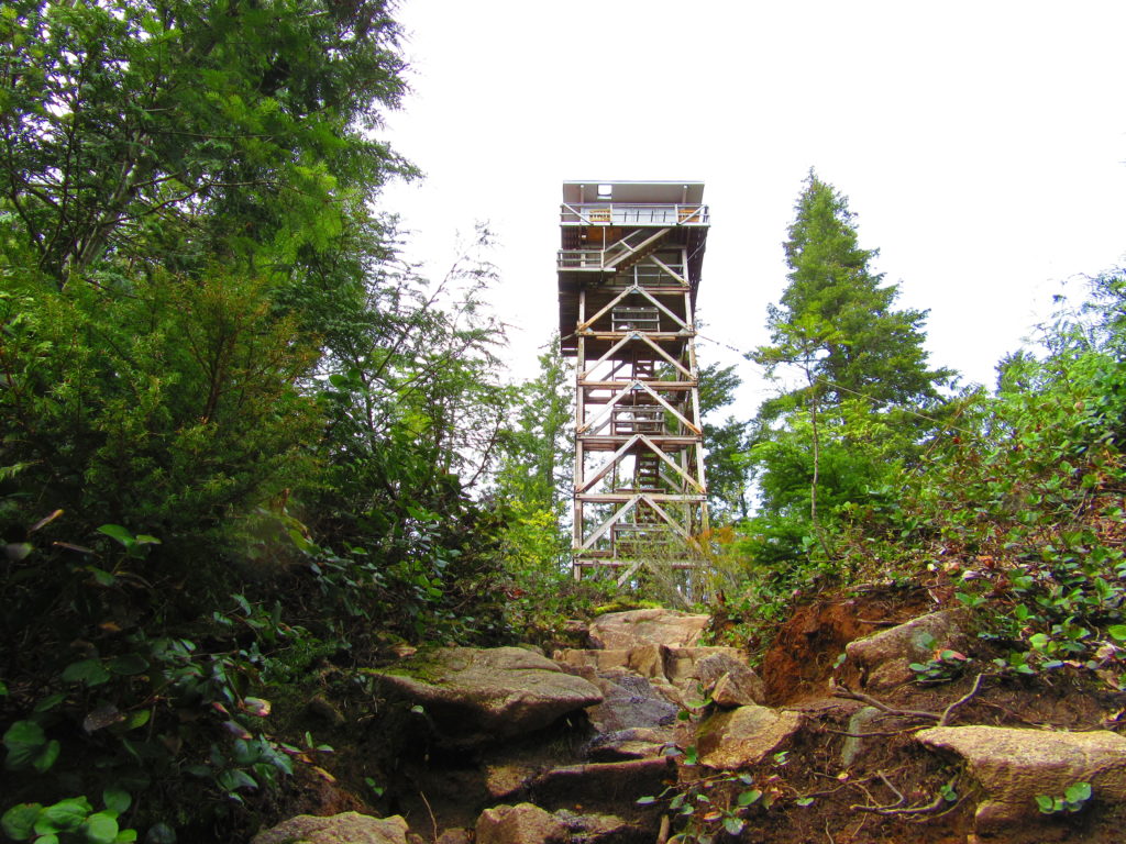
Quick Facts: Location: Near Index, Skykomish Valley Land Agency: Mount Baker-Snoqualmie National Forest Roundtrip: 2.6 miles Elevation Gain: 850 feet Access: From Everett follow US 2 east for 37 miles to trailhead located on north side of highway just after entering Mount Baker-Snoqualmie National Forest. Green Trails Map: Alpine Lakes Stevens Pass 176S Recommended Guidebook:…
Read MoreBridal Veil Falls — Visit after heavy rains for a bridal shower!

Quick Facts: Location: US 2 near Index, Land Agency: Mount Baker-Snoqualmie National Forest Roundtrip: 4.4 miles Elevation gain: 850 feet Green Trails Maps: Green Trails, Alpine Lakes Stevens Pass 176S Contact: Skykomish Ranger District: Mount Baker -Snoqualmie National Forest Notes: NW Forest Pass or Interagency Pass required Access: From Everett follow US 2 east for…
Read MoreNarbeck Wetland Sanctuary–Bird bursting, frog hopping wildlife habitat beside Boeing
Quick Facts: Location: Everett Land Agency: Snohomish County Roundtrip: 1.8 miles Elevation gain: none Difficulty: Easy Contact: Friends of Narbeck Wetland Sanctuary Notes: Dogs must be leashed; open 7 a.m. to dusk Access: From Everett follow SR 526 west 2.5 miles exiting onto Seaway Boulevard. Proceed for 1.0 mile north. Entrance is on right, across…
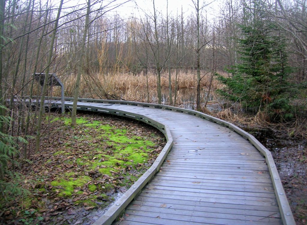
Read MorePortage Creek Wildlife Area─Wetland wandering on the Stillaguamish Floodplain

Quick Facts: Location: Arlington Land Agency: Snohomish County Parks and Recreation Contact: Snohomish Parks and Recreation Department Roundtrip: 2.0 miles Elevation Gain: minimal Notes: Dogs prohibited Access: From Exit 208 on I-5 (Arlington) head east on SR 530 for 2.3 miles. Then turn right onto 59th Ave SE. Continue for 0.2 mile and turn right…
Read MoreCrescent Lake─Swan stop at the confluence of the Skykomish and Snoqualmie Rivers
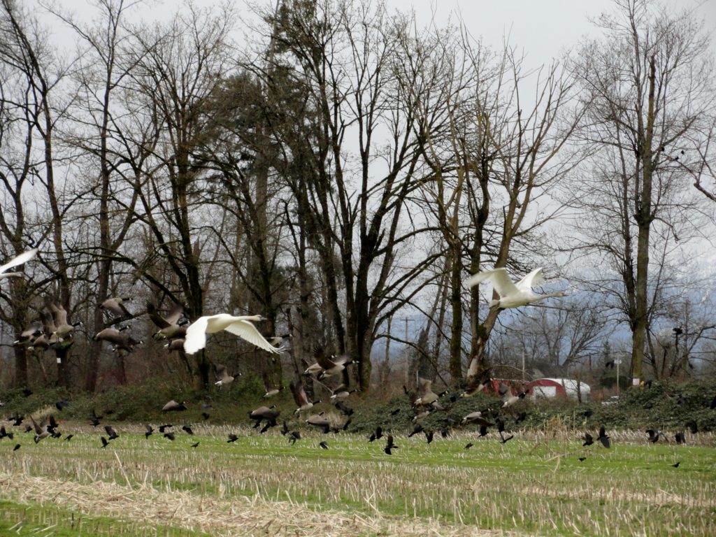
Quick Facts: Location: Snoqualmie Valley south of Monroe Land Agency: Washington Department of Fish and Wildlife (WDFW) Roundtrip: 2.2 miles Elevation Gain: None Notes: Discover Pass required; Crescent Lake is an active hunting area, so be aware of hunting seasons. Access: From Everett follow US 2 east to Monroe. Turn right onto SR 203 and follow for 3.8 miles turning right onto…
Read MoreLake Tye—Greenbelt Park preserves history and scenery
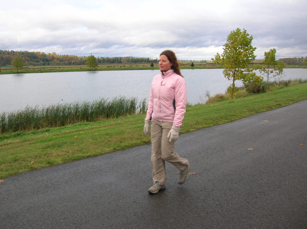
Quick Facts: Location: City of Monroe Land Agency: Monroe Parks and Recreation Department Roundtrip: 1.6 miles Elevation Gain: None Notes: Dogs must be on leash. Access: From Everett follow US 2 east towards Monroe. Turn right at first traffic light onto Fryelands Boulevard. Continue for .7 mile to junction with Wales Street. Turn right into…
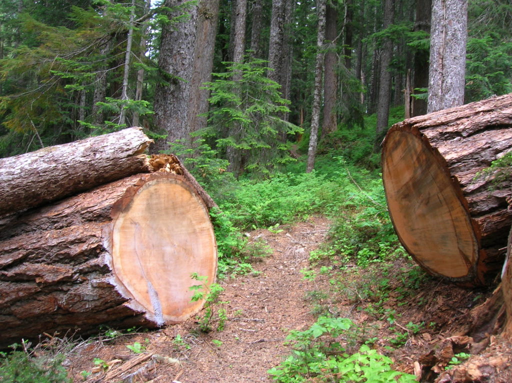
Read MoreLookout Tree Trail — Snag a glimpse into the past
Quick Facts: Location: Mountain Loop Highway Land Agency: Mount Baker-Snoqualmie National Forest Roundtrip: 1.5 mile Elevation gain: 200 feet Green Trails Map: Mountain Loop Highway 111SX Contact: Darrington Ranger District: Mount Baker Snoqualmie National Forest Notes: No passes needed Access: From Darrington, follow Mountain Loop Highway for 11.3 miles to unmarked trailhead located on your…
Read MoreHeadlee Pass and Lake Elon─An old mining trail is a terrible thing to waste!
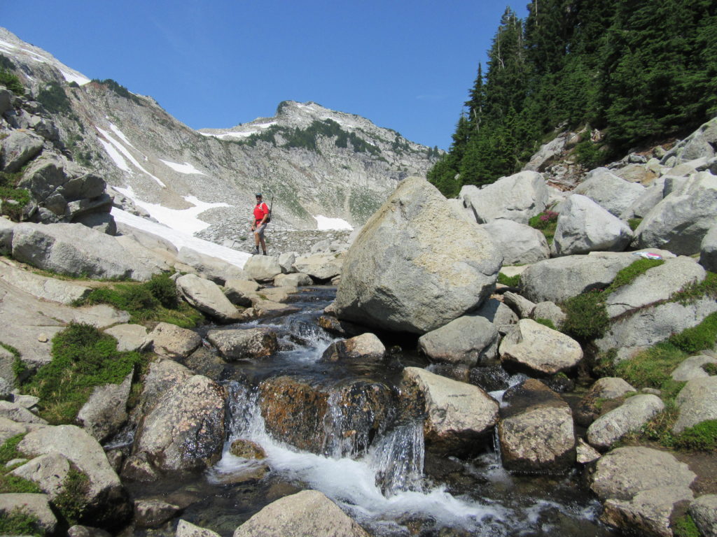
Quick Facts: Location: Mountain Loop Highway Land Agency: Mount Baker-Snoqualmie National Forest Roundtrip: 7.0 miles Elevation Gain: 2,650 feet Contact: Darrington Ranger District: Mount Baker -Snoqualmie National Forest Green Trails Map: Mountain Loop Highway 111SX Recommended Guidebook: Day Hiking North Cascades 2nd edition (Mountaineers Books) Special Note: Northwest Trail Pass or Interagency Pass required. Access:…
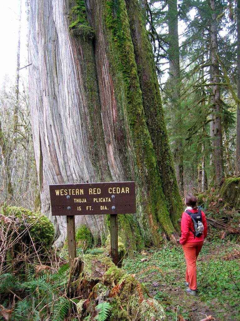
Read MoreQuartz Creek–Hike through a majestic primeval forest along a crystal clear creek
Quick Facts: Location: North Fork of the Skykomish River Land Agency: Mount Baker-Snoqualmie National Forest Roundtrip: 8.6 miles Elevation gain: 1450 feet Green Trails Maps: Monte Cristo, WA-No. 143 Contact: Skykomish Ranger District: Mount Baker Snoqualmie National Forest Notes: Northwest Forest Pass or Interagency Pass required. Access: The North Fork Skykomish River Road from Index, the…
Read MoreGoat Lake─A family friendly hike for old goats and kids alike!
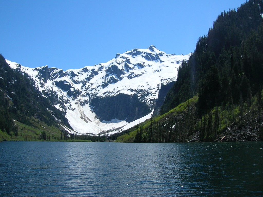
Quick Facts: Location: Mountain Loop Highway near Darrington Land Agency: Mount Baker-Snoqualmie National Forest Roundtrip: 10.4 miles Elevation Gain: 1,400 feet Green trails Map: Mountain Loop Highway-No. 111SX Access: From Granite Falls, follow the Mountain Loop Highway east for 31 miles to Barlow Pass and end of pavement. Continue for 3.5 miles turning right onto FR…
Read More