snowshoe
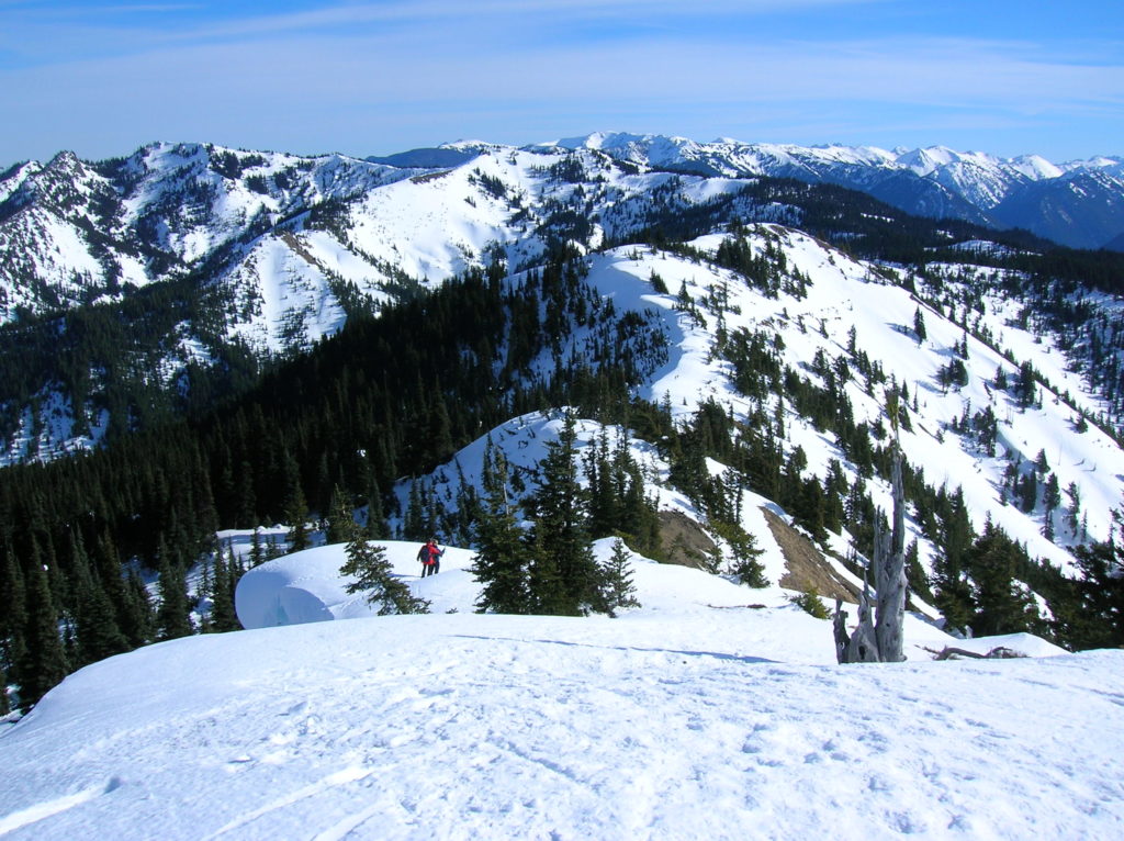
Dalles Ridge — Wintering Elk and Sublime Alpine views
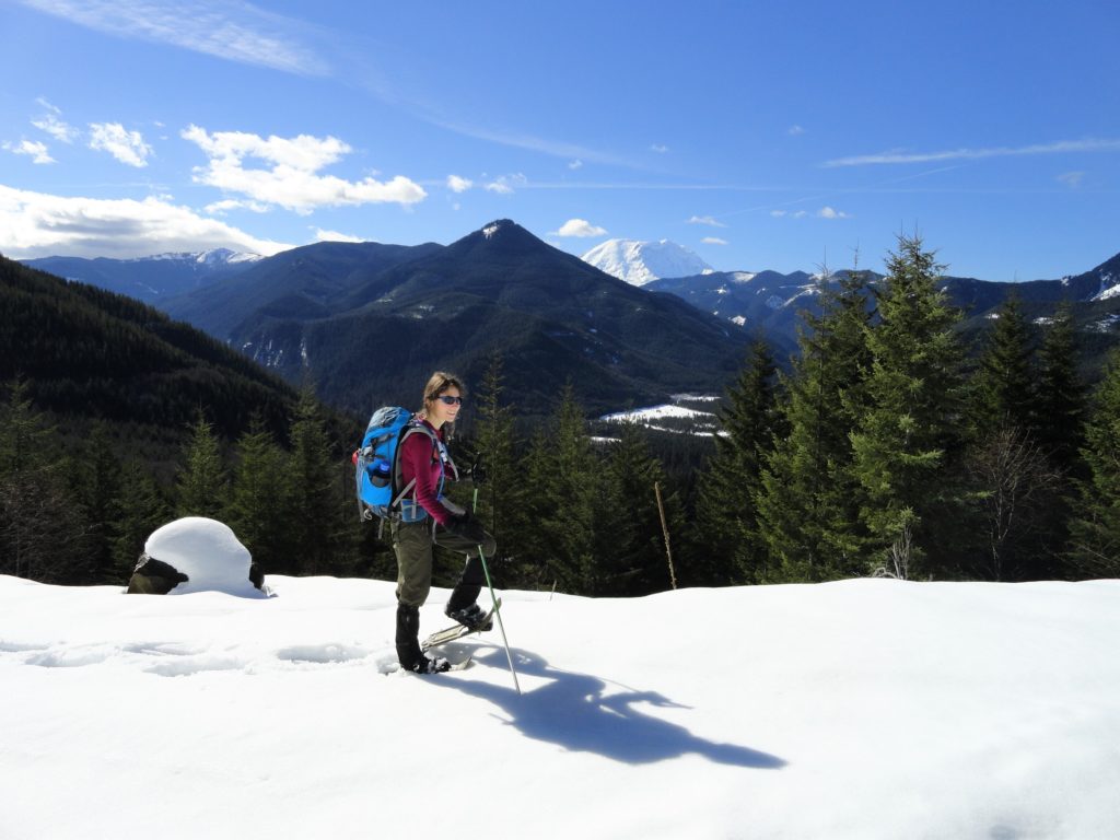
Quick Facts: Location: Mount Baker-Snoqualmie National Forest Land Agency: US Forest Service Round Trip: 8.2 miles Elevation Gain: 1900 feet Green Trails Map: Greenwater no. 238 Contact: Mount Baker-Snoqualmie National Forest Notes: During periods of low snow levels, parking may be difficult. Access: From Enumclaw follow SR 410 for 13.6 miles turning left (shortly after passing…
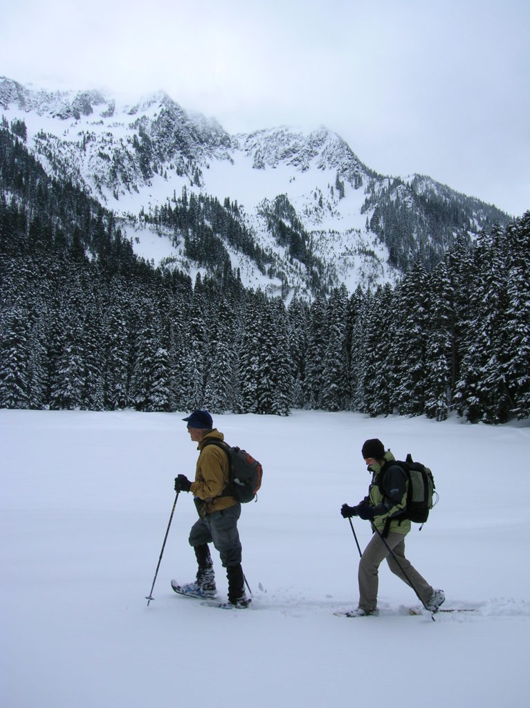
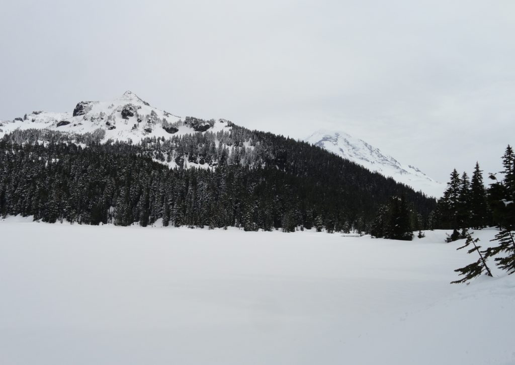
Read MoreCorral Pass –Challenging snow shoe trip to high pass on Castle Mountain

Quick Facts: Location: Mount Baker-Snoqualmie National Forest Land Agency: National Forest Service Roundtrip: 11.5 miles Elevation Gain: 2,800 feet Contact: Mount Baker-Snoqualmie National Forest Green Trails Maps: Greenwater no. 238, Lester no. 239, and on Mount Rainier National Park 269S Notes: When snow level is low, parking here can be a challenge. Do not block access…
Read MoreDeer Lake– Wilderness lake above White Pass
Location: William O. Douglas Wilderness, White Pass Land Agency: Okanogan-Wenatchee National Forest Roundtrip: 6.0 miles Elevation gain: 780 feet Green Trails Map: White Pass No. 303 Contact: White Pass Nordic Center Access: From Yakima or Morton follow US 12 to White Pass and proceed north to parking area near Yurt behind the Village Inn Condominiums.…
Read MoreLanham Lake—Sublime snowshoeing above Stevens Pass
Quick Facts: Location: Stevens Pass Land Agency: Okanogan-Wenatchee National Forest Roundtrip: 3.2 miles Elevation Gain: 1,140 feet Green Trails Map: Alpine Lakes-Stevens Pass WA No. 176S Special Note: Slight avalanche concern. Contact: Okanogan-Wenatchee National Forest Access: From Everett head east on US 2 to Stevens Pass. Continue east for another 5.8 miles turning right into the…
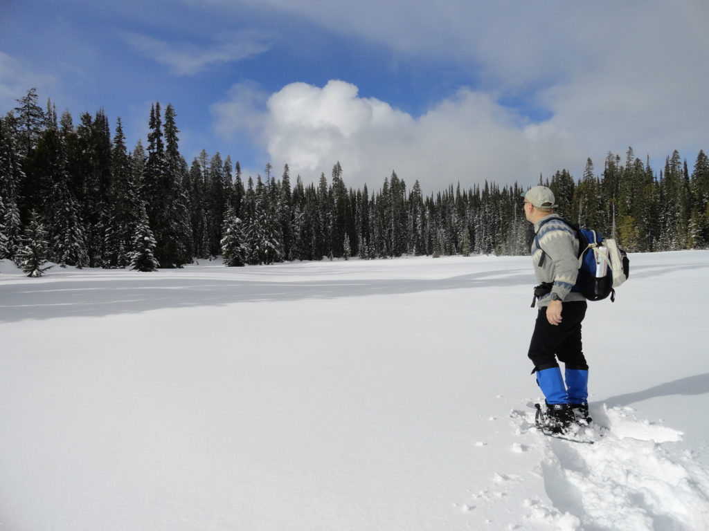
Read MoreMowich Lake
Snowshoe to a “deer” location in Mount Rainier National Park Quick Facts: Location: Mount Rainier National Park Distance: 10.2 miles roundtrip Elevation Gain: 1,350 feet Contact: Mount Rainier National Park Green Trails Map: Mount Rainier National Park 269SX Notes: Dogs are prohibited; Route is non-groomed and shared with skiers; National Park pass or Interagency Pass…
Read MoreHurricane Hill─Storm this summit on snowshoes or skis
Quick Facts: Location: Hurricane Ridge, Olympic National Park Land Agency: National Park Service Roundtrip: 6.0 miles Elevation Gain: 900 feet Contact: Olympic National Park Green Trails Map: Elwha North Hurricane Ridge, No 134S Notes: Dogs are prohibited. National Park Entry Fee Required. Dec–Mar the road is open Fri–Sun and Holiday Mondays only weather permitting. All…
Read MoreHigh Hut — Snowshoe to a heavenly hut in the shadow of Rainier
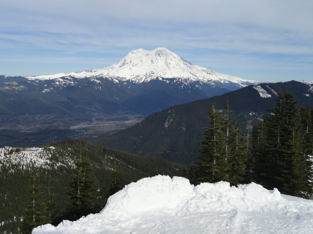
Quick Facts: Location: Mount Tahoma Trails near Ashford Land Agency: Washington DNR and Mount Tahoma Trails Association Roundtrip: 8.6 miles Elevation gain: 2,400 feet Contact: Mount Tahoma Trails Association MTTA Map: Mount Tahoma Ski Trail System (MTTA) Notes: Sno-Park Pass required; Reservations required for overnight stays in hut Access: From Elbe head east 10 miles…
Read MoreClara and Marion Lakes
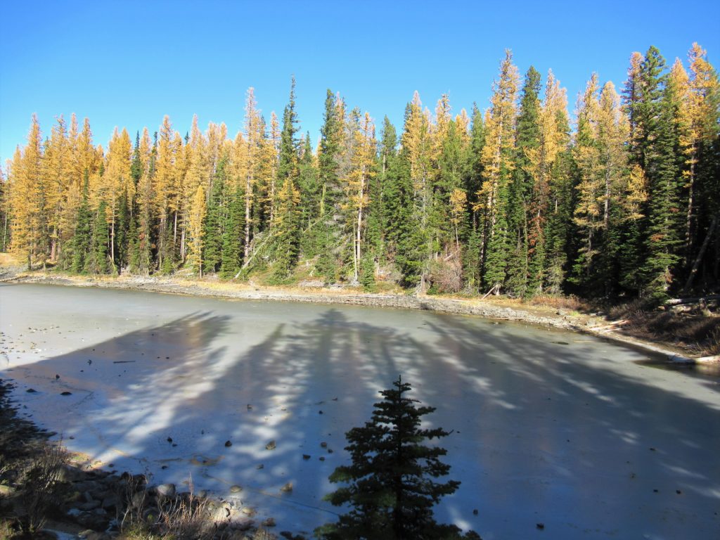
Quick Facts: Location: Mission Ridge, Okanogan-Wenatchee National Forest Land Agency: Okanogan-Wenatchee National Forest Roundtrip: 3.2 miles Elevation Gain: 960 feet Green Trails Map: Wenatchee/ Mission Ridge, WA- No 211S Access: Follow US 2 to Wenatchee turning south onto SR 285 and continuing for 4.5 miles until it turns east to cross the Columbia River into…
Read MoreSun Top — snowshoe to a historic lookout in the shadows of Mount Rainier
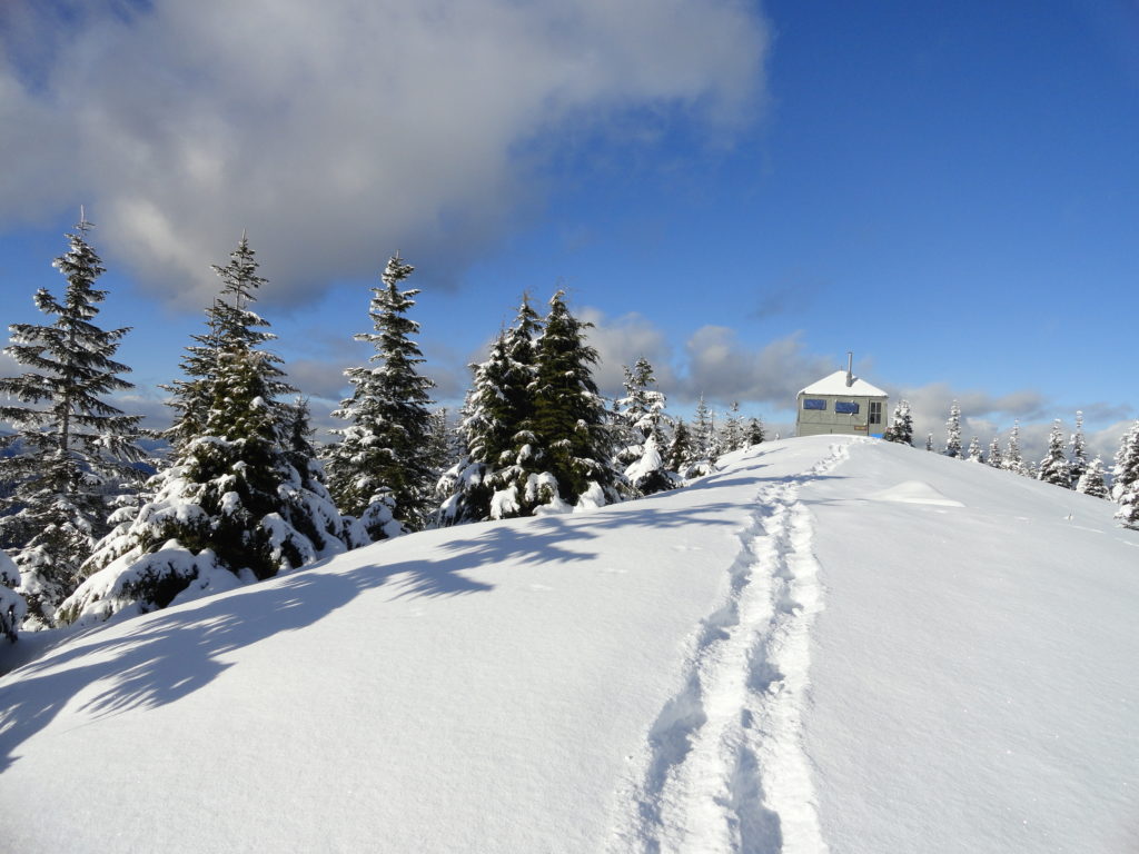
Quick Facts: Location: White River Valley Land Agency: Mount Baker-Snoqualmie National Forest Roundtrip: 11.0 miles Elevation gain: 3,050 feet Contact: Mount Baker-Snoqualmie National Forest Green Trails Map: Green Trails Maps – Greenwater no. 238 Notes: Sno-park Pass required. Route is non-groomed and shared with skiers (do not snowshoe on groomed ski trail). Beyond the upper…
Read MoreGoat Falls –“Kid-friendly” snowshoe trip near Mount Rainier National Park
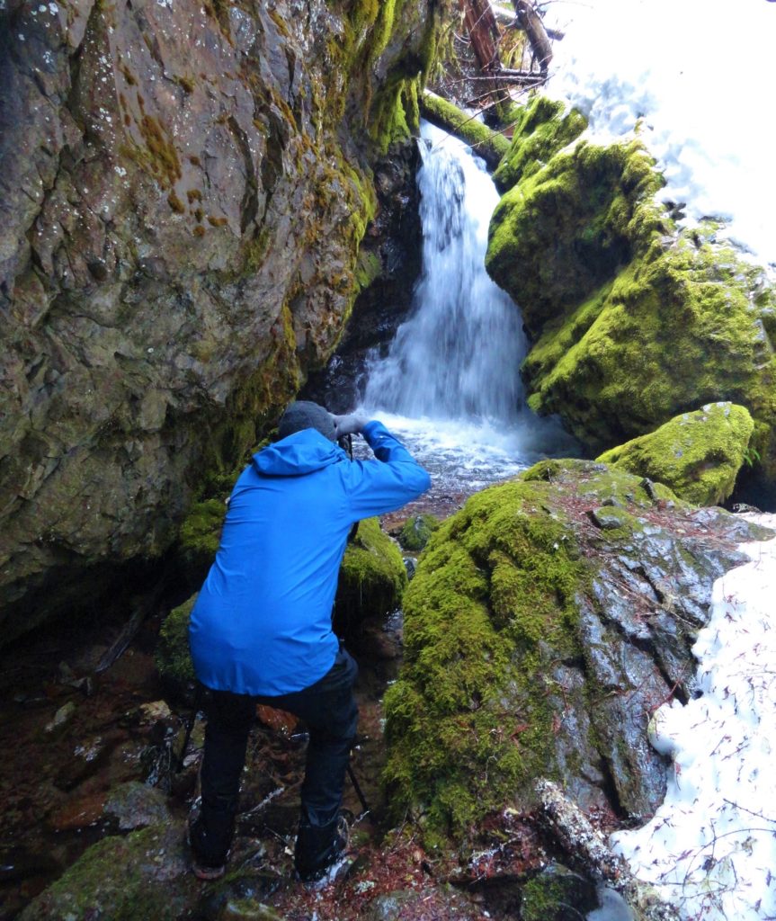
Quick Facts: Location: White River Valley Land Agency: Mount Baker-Snoqualmie National Forest Roundtrip: 2.5 miles Elevation gain: 500 feet Green Trails Map: Mount Rainier Wonderland no. 269SX Contact: Mount Baker-Snoqualmie National Forest; Snoqualmie Ranger DistrictNotes: Northwest Forest Pass required at actual trailhead. When snow level is low, parking may be a challenge. Do not block…
Read More