Trail Less Taken
Independence Lake–A great place to celebrate the 4th of July and the Freedom of the Hills
Quick Facts Location: Mountain Loop Highway near Granite Falls Land Agency: Mount Baker-Snoqualmie National Forest Roundtrip: 1.5 miles…
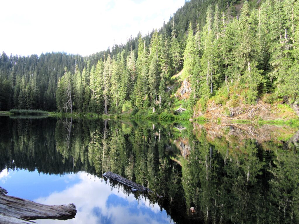
Read MorePinnacle Lake — Pretty little lake perched on a shoulder of Mount Pilchuck
Quick Facts: Location: Mountain Loop Highway, near Granite Falls Land Agency: Mount Baker-Snoqualmie National Forest; Washington State Parks Roundtrip: 4.2 miles Elevation gain: 1,100 feet Green Trails Maps: Mountain Loop Highway 111SX Contact: Darrington Ranger District: Mount Baker-Snoqualmie National Forest Notes: access road is rough, high clearance vehicles recommended. Access: From Granite Falls follow the…
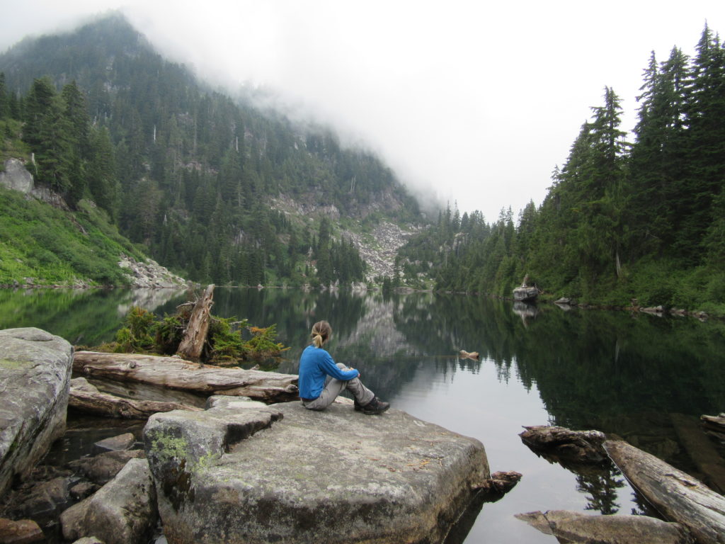
Read MoreNotch Pass–Hike through history over Quilcene Ridge
Location: Quilcene Valley, Northeast Olympic Peninsula Land Agency: National Forest Service Roundtrip: 8.4 miles Elevation gain: 2,800 feet Contact: Hood Canal Ranger District Olympic National Forest Guidebook: Day Hiking Olympic Peninsula 3rd Edition) Notes: Practice Leave No Trace Principles Access: From Quilcene drive US 101 south for 1.5 miles turning right onto Penny Creek Road. After 1.5…
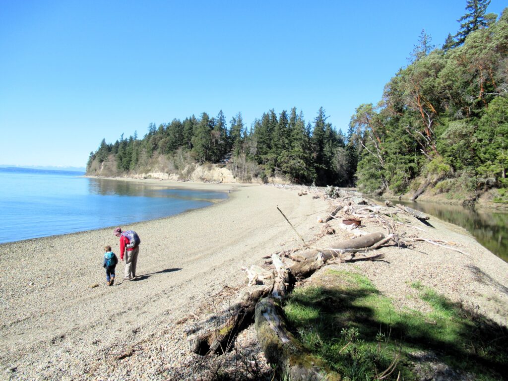
Read MoreSouth Whidbey State Park—Amble among ancient trees above the sound
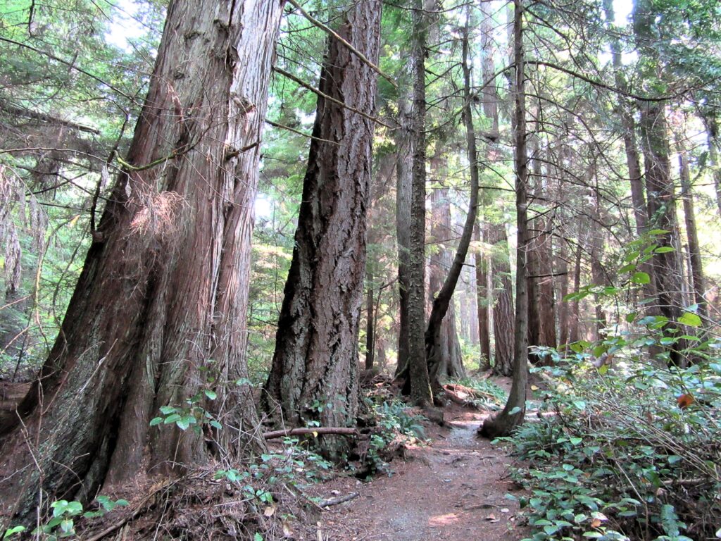
Quick Facts: Location: Whidbey Island Land Agency: Washington State Parks Roundtrip: 2.3 miles Elevation Gain: 200 feet Contact: South Whidbey State Park Notes: Discover Pass Required: Dogs must be leashed Access: From the Clinton Ferry Terminal on Whidbey Island follow SR 525 north for 9.4 miles turning left onto Bush Point Road. After 2.2 miles road…
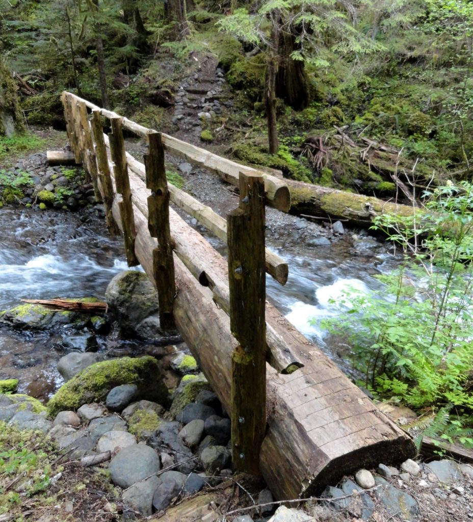
Read MoreTumwater Pipeline Trail—Hike along “strong water” watching rafters and rapids
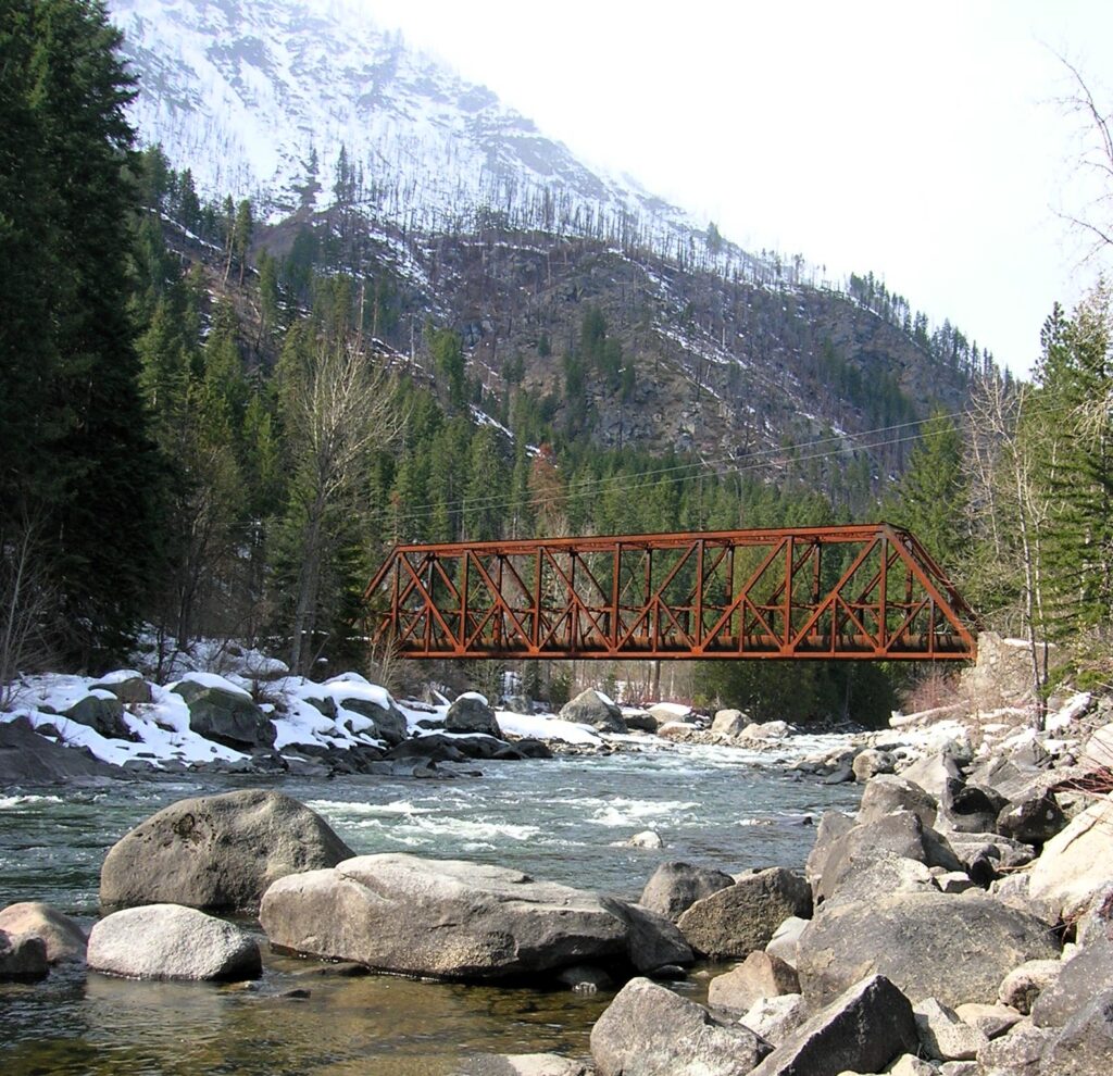
Quick Facts: Location: Wenatchee River Valley Land Agency: Okanogan-Wenatchee National Forest Roundtrip: 2.4 miles Elevation Gain: 100 feet Green trails Map: Leavenworth- No. 178 Access: From Everett head east on US 2 passing Stevens Pass to Coles Corner. Continue east on US 2 for 12.7 miles to trailhead located on your right (between Mileposts 97…
Read MoreStacker Butte─Blossoming Queen of the Columbia River Gorge
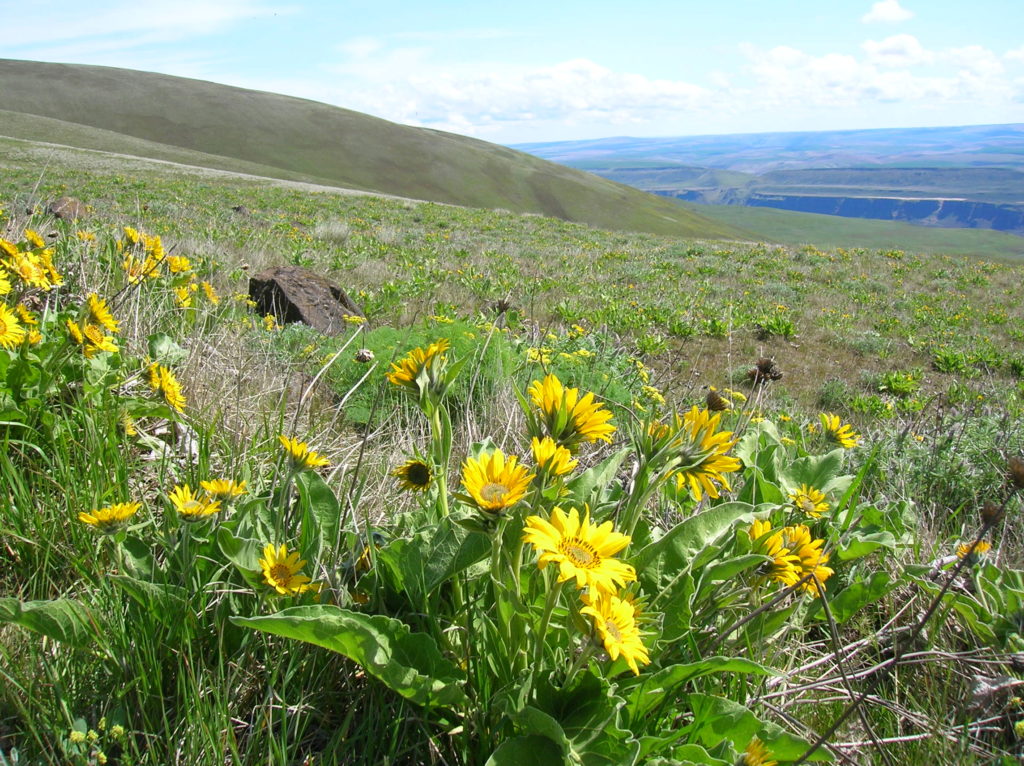
Quick Facts: Location: Columbia River Gorge National Scenic Area Land Agency: Washington Department of Natural Resources Roundtrip: 5.0 miles Elevation Gain: 1,150 feet Contact: Washington DNR Southeast Region Notes: Discover Pass required; Dogs prohibited; Practice Leave No Trace Principles Recommended Resource: Day Hiking Columbia River Gorge Green trails Map: Columbia River Gorge West No. 432S Good…
Read MoreSouth Indian Island — Enjoy peaceful shoreline strolling along a line of defense
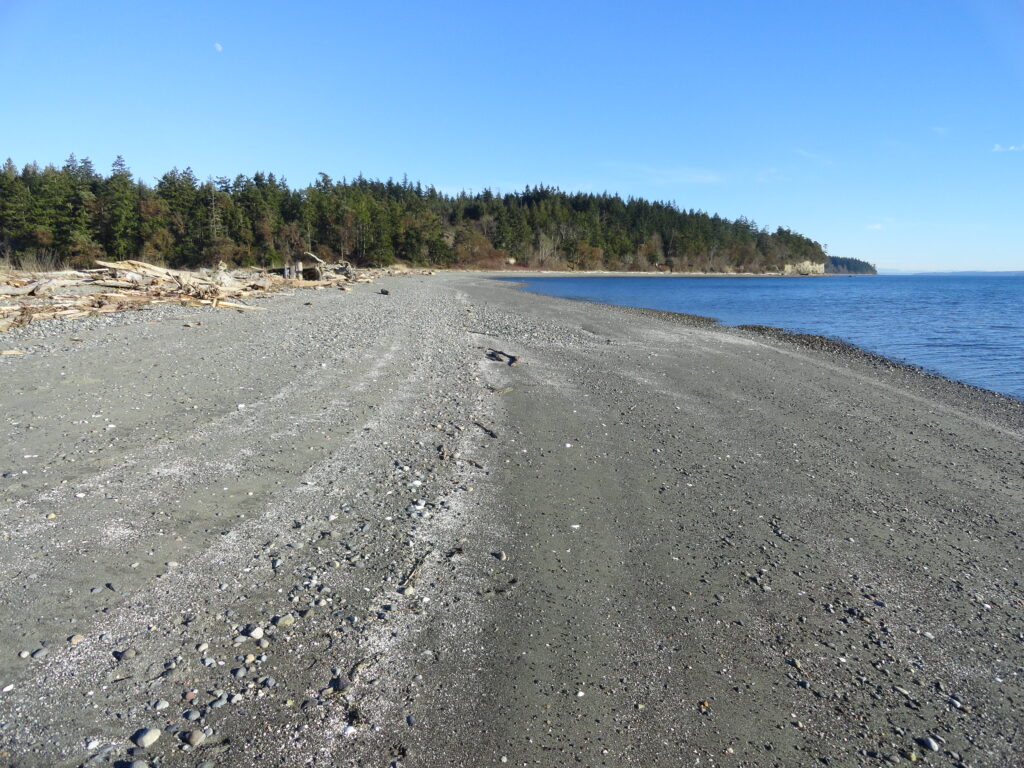
Quick Facts: Location: Indian Island near Port Hadlock Land Agency: Jefferson County Parks Roundtrip: 4.0 miles Elevation Gain: 70 feet Notes: Detailed information can be found in Day Hiking Olympic Peninsula (Mountaineers Books) Contact: Jefferson County Parks Access: From Kingston, drive State Route 104 turning right onto SR 19. Then continue north for 9 miles turning right onto…
Read MoreBig Finn Hill Park
Quiet Alternative to St Edward State Park Quick Facts: Location: Kirkland Land Agency: King County Parks Distances: up to 9.5 miles of trails Elevation Gain: up to 200 feet Contact: King County Parks Detailed Information: Urban Trails Eastside (Mountaineers Books) Notes: parking area on NE 138th Street gated at dusk Access: From Kenmore follow 68th…
Read MoreAndy’s Marine Park
Hike to a cove and beach on Anderson Island Quick Facts: Location: Anderson Island Land Agency: Anderson Island Park and Recreation District Round Trip: 1.5 miles roundtrip Elevation Gain: 190 feet Contact: Andy’s Marine Park Detailed Information: Urban Trails Tacoma (Mountaineers Books) Notes: dogs prohibited. Trails can be slick in wet weather Access: From Anderson…
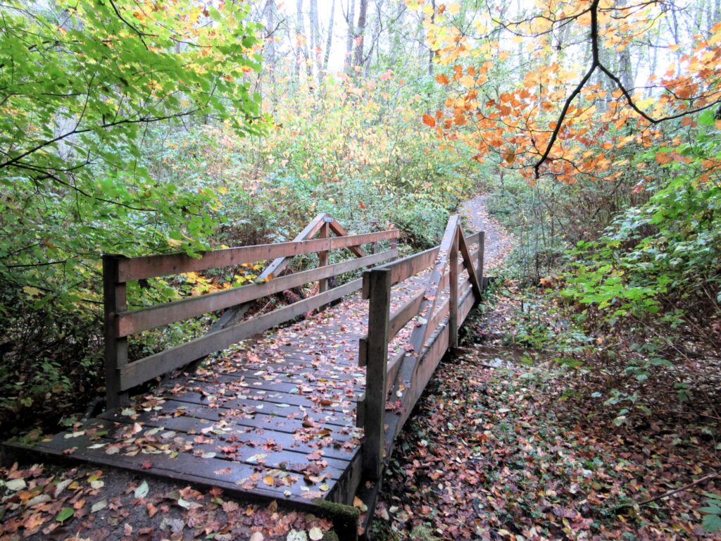
Read MoreTwo Trees Trail─Two big pines and plenty of other trees, too!
Quick Facts: Location: Maltby Land Agency: Snohomish County Parks Roundtrip: 3.8 miles Elevation Gain: 75 feet Special Note: Dogs must be leashed. Contact: Snohomish County Parks Access: From SR 522 in Maltby (5.0 miles east of Woodinville; 8.0 miles west of Monroe) head east on Paradise Lake Road for 1.7 miles to trailhead. Snohomish County…
Read More