Urban Hikes: Everett
Beaver Lake Loop–wetland wonderland on Lord Hill
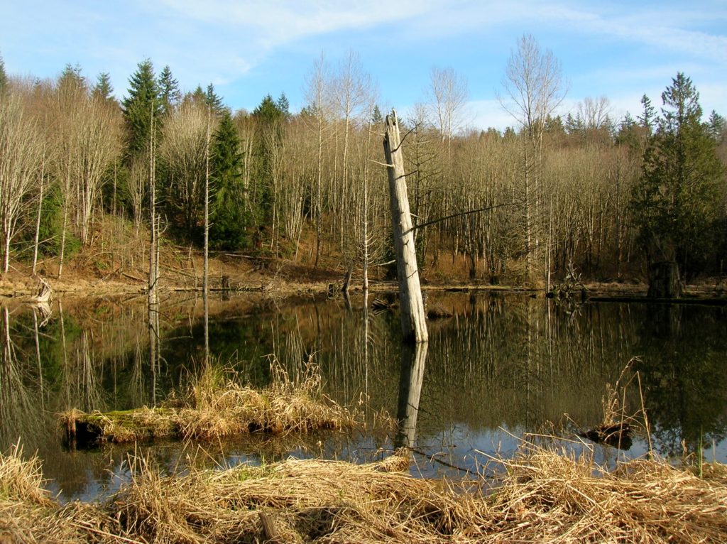
Location: Lord Hill Park near Snohomish Land Agency: Snohomish County Parks Roundtrip: 2.2 miles High Point: 650 feet Elevation gain: 200 feet Difficulty: easy Contact: Snohomish County Parks Notes: Dogs must be on leash; Map available online Access: From Everett, head east on US 2 for 8.0 miles and take 88th Street SE Exit. Turn right…
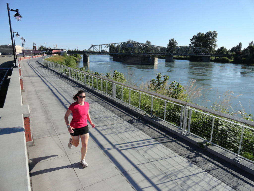
Read MoreLowell Riverfront Trail—Out of industrial ashes a riverside trail and park are born
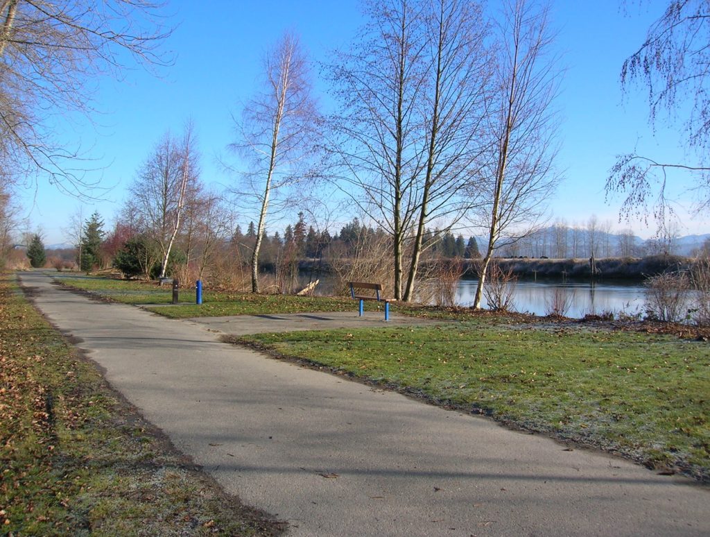
Quick Facts: Location: Lowell neighborhood, city of Everett Land Agency: Everett Parks and Recreation Contact: Everett Parks and Recreation Department Roundtrip: 4.0 miles Elevation Gain: None Access: From Exit 192 on I-5 in Everett head east on 41st Street. Turn right (south) onto 3rd Ave and proceed for 1.2 miles to four-way stop. Turn left onto…
Read MoreArlington Airport Trail–Come Fly with Me on a walk around an historic airport
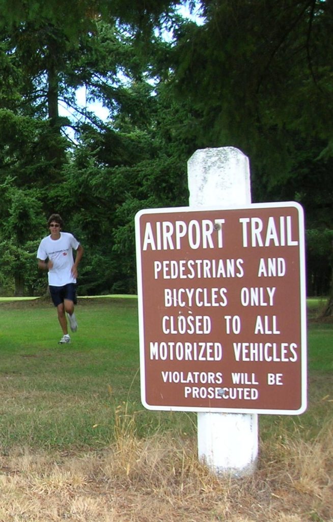
Quick Facts: Location: Arlington Land Agency: City of Arlington Roundtrip: 5.5 miles Elevation gain: 50 feet Difficulty: Easy Contact: Arlington Airport Commission Notes: Dogs must be on leash Access: From Everett, head north on I-5 to Exit 206. Continue east on SR 531 (172nd Street NE) for 1.4 miles. Turn left onto 59th Avenue NE and…
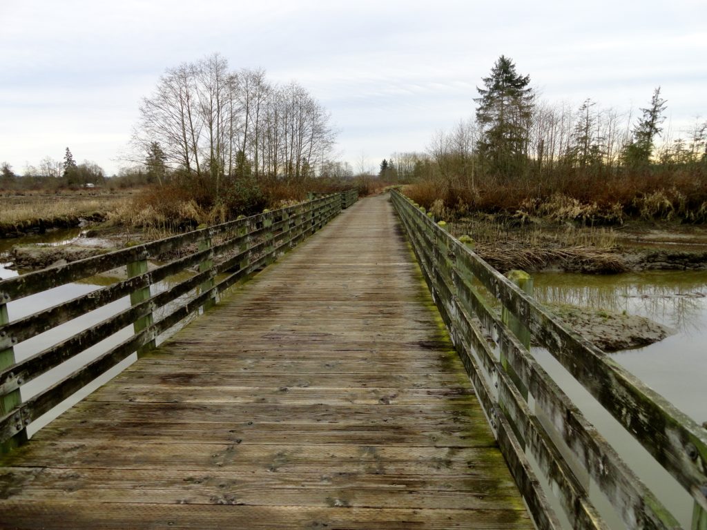
Read MoreTemple Pond—Make a hiking pilgrimage to the Temple of Lord Hill
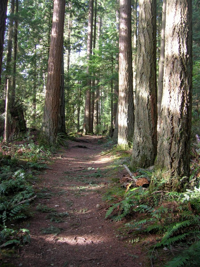
Quick Facts: Location: Snohomish County near Monroe and Snohomish Land Agency: Snohomish County Parks Roundtrip: 3.7 miles Elevation Gain: 150 feet Access: From the city of Snohomish, exit SR 9 onto 2nd Street. Proceed east for a one mile; then turn right onto Lincoln Ave which becomes the Old Snohomish-Monroe Highway. After 2.7 miles turn…
Read MoreYour Neighborhood
Quick Facts: Location: Throughout the Northwest Land Agency: families, HOAs, sundry municipalities and park districts Distance: as far and as long as you like, but do it regularly Elevation Gain: elevated mood Contact: Your friends and neighbors (from a safe distance) and share some good news Notes: Dogs encouraged, no fees, no groups, stay six…
Read MoreSpencer Island — Wildlife refuge in the heart of the Snohomish River Delta
Quick Facts: Location: Snohomish River Delta, Everett Land Agency: Snohomish County Parks Roundtrip: 3.0 miles Elevation gain: none Contact: Snohomish County Parks Notes: Dogs prohibited; Washington Dept of Fish and Wildlife manages northern half of island which is open seasonally to hunting. Good to Know: Practice Leave No Trace, kid-friendly, snow free winter hike, exceptional bird…
Read MoreFort Casey Historical State Park — Frolic through a fort, to a lighthouse, and on a pretty beach
Quick Facts: Location: Whidbey Island Land Agency: Washington State Parks Round Trip: 1.8 miles of trails Elevation Gain: up to 90 feet Contact: Washington State Parks Recommended Resource: Urban Trails Everett (Mountaineers Books) Notes: Discover Pass required; Dogs allowed on leash Access: From Mukilteo take ferry to Clinton on Whidbey Island. Then continue north on…
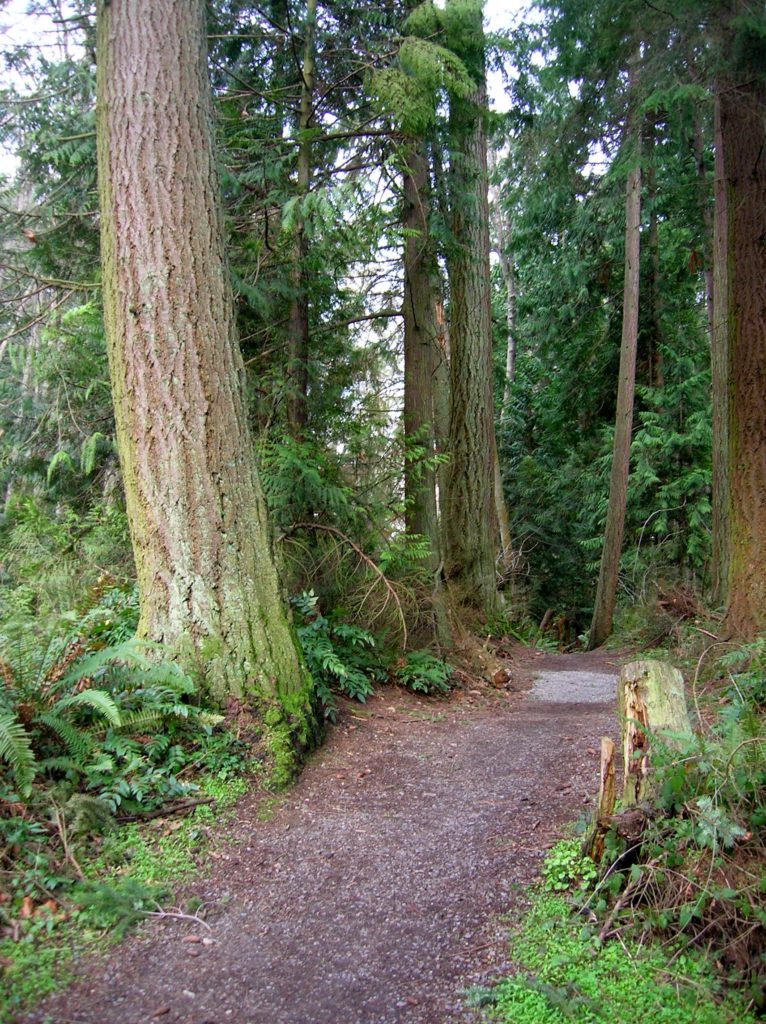
Read MoreGreenbank Farm–Plow through an array of family and dog friendly trails
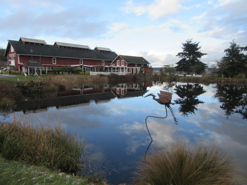
Quick Facts: Location: Whidbey Island Land Agency: Port of Coupeville Roundtrip: more than 4.0 miles of trails High Point: 300 feet Elevation gain: up to 280 feet Contact: Port of Coupeville Recommended Resource: Urban Trails Everett (Mountaineers Books) Notes: Some trails are open to equestrians; some trails are in an off-leash dog area Access: From Clinton Ferry Terminal on Whidbey…
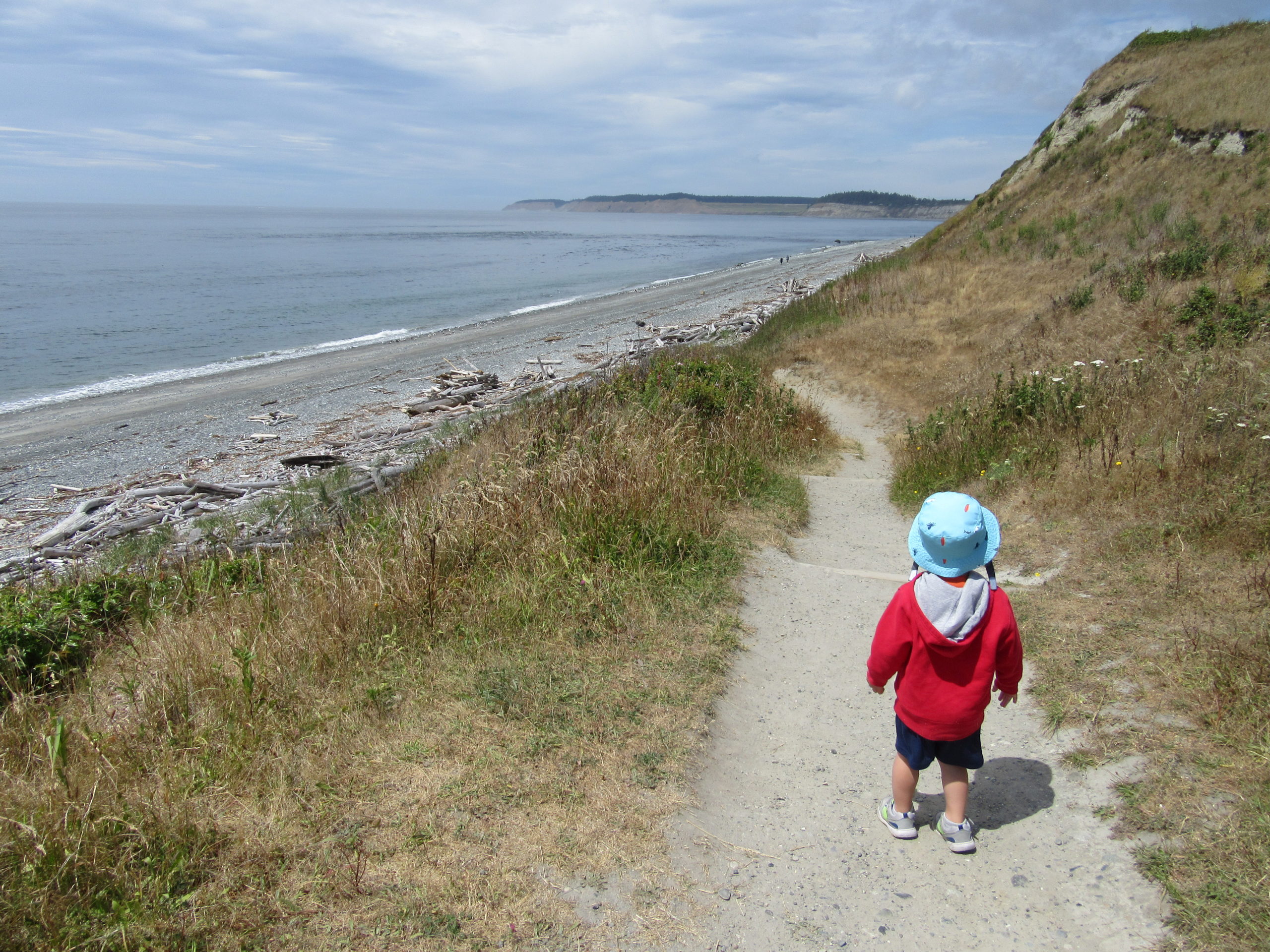
Read MoreDouble Bluff – Dog-friendly beach hiking on Whidbey Island
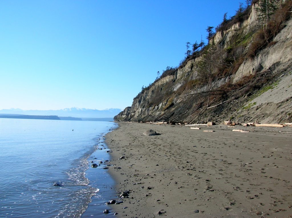
Quick Facts: Location: Whidbey Island Land Agency: Island County Parks, Washington State Parks, and the Washington DNR Roundtrip: 4.0 miles Elevation Gain: None Access: Take State Ferry from Mulkiteo to Clinton on Whidbey Island. Continue north on SR 525 for 8.5 miles turning left onto Double Bluff Road. Proceed for 2.0 miles to road end…
Read MoreSouthwest County Park─Emerald Swath above Edmonds
Quick Facts: Location: Edmonds Land Agency: Snohomish County Parks and Recreation Roundtrip: Up to 5 miles Elevation Gain: up to 250 feet Access: From Everett follow I-5 south to exit 181. Now follow SR 524 (196th St SW) west passing SR 99 and in about another mile turn right onto 76th Ave W. Proceed for about .5…
Read More