Posts Tagged ‘Day Hiking Central Cascades’
Sultan River Canyon Trail
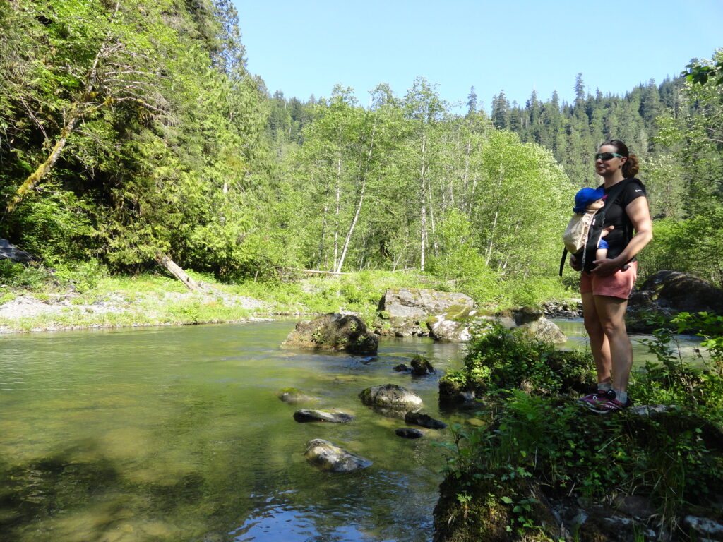
A near yet remote canyon housing big trees and a wild stretch of river Quick Facts: Location: Sultan Basin Land Agency: Snohomish County Public Utility District Roundtrip: 4.4 miles Elevation Gain: 850 feet Green Trails Map: Mountain Loop Highway 111SX Access: From Everett follow US 2 east to Sultan. At a traffic light just past Milepost 23 turn left onto…
Read MoreLake Valhalla– No slain souls here-just renewed ones
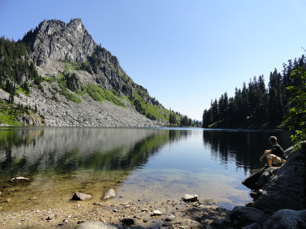
Quick Facts: Location: Henry M Jackson Wilderness, Stevens Pass area Land Agency: Okanogan-Wenatchee National Forest Roundtrip: 11.6 miles Elevation gain: 1,850 feet Difficulty: moderate Green Trails Map: Alpine Lakes-Stevens Pass No. 176S Contact: Wenatchee River Ranger District (Leavenworth): Okanogan-Wenatchee National Forest Access: From Everett, head east on US 2 for 65 miles to Stevens Pass.…
Read MoreWest Cady Ridge—from wildflowers to autumn colors
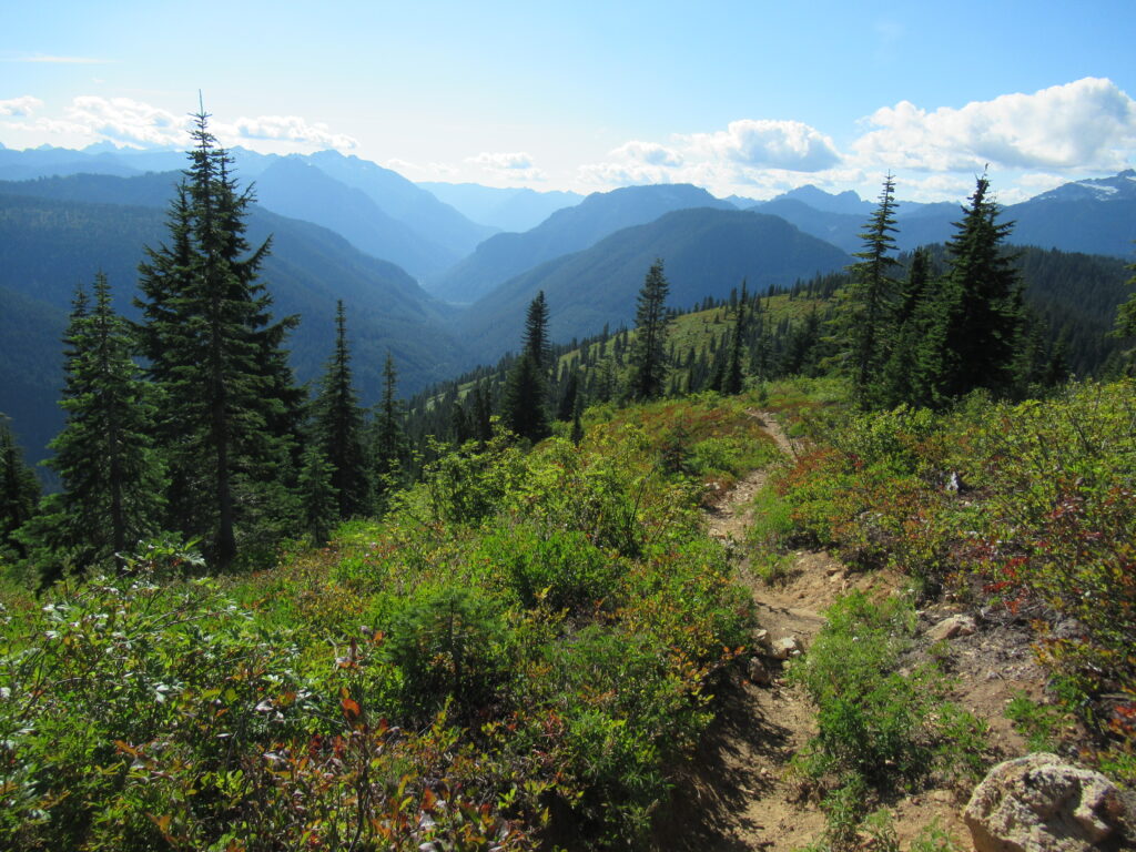
Quick Facts: Location: Wild Sky and Henry Jackson Wildernesses, North Fork Skykomish River Valley Land Agency: National Forest Service Roundtrip: 8.0 miles Elevation Gain: 2,300 feet Green Trails Map: Monte Cristo, WA- No. 143 Recommended source: Day Hiking Central Cascades 2nd edition (Mountaineers Books) Contact: Skykomish Ranger District: Mount Baker Snoqualmie National Forest Notes: Northwest…
Read MoreFisher Lake–Quiet backcountry lake beyond Tonga Ridge
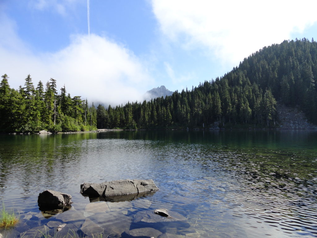
Quick Facts: Location: Skykomish Valley Land Agency: National Forest Service Round Trip: 10.0 miles Elevation Gain: 1350 feet Contact: Skykomish Ranger District, Mount Baker-Snoqualmie National Forest Green Trails Maps: Alpine Lakes West Stevens Pass No 176S Notes: Northwest Forest Pass or Interagency Pass required Access: Follow US 2 east to Skykomish. Then continue east for 1.9 miles…
Read MoreEvergreen Mountain—short and easy hike in the Wild Sky

Quick Facts: Location: Wild Sky Wilderness near Skykomish River Valley Land Agency: National Forest Service Roundtrip: 3.0 miles Elevation Gain: 1,400 feet Access: From Everett head east on US 2 for 50 miles (just past Skykomish) turning left onto Beckler River Road (FR 65). Continue 12.6 miles to a five-way junction at Jack Pass. Take…
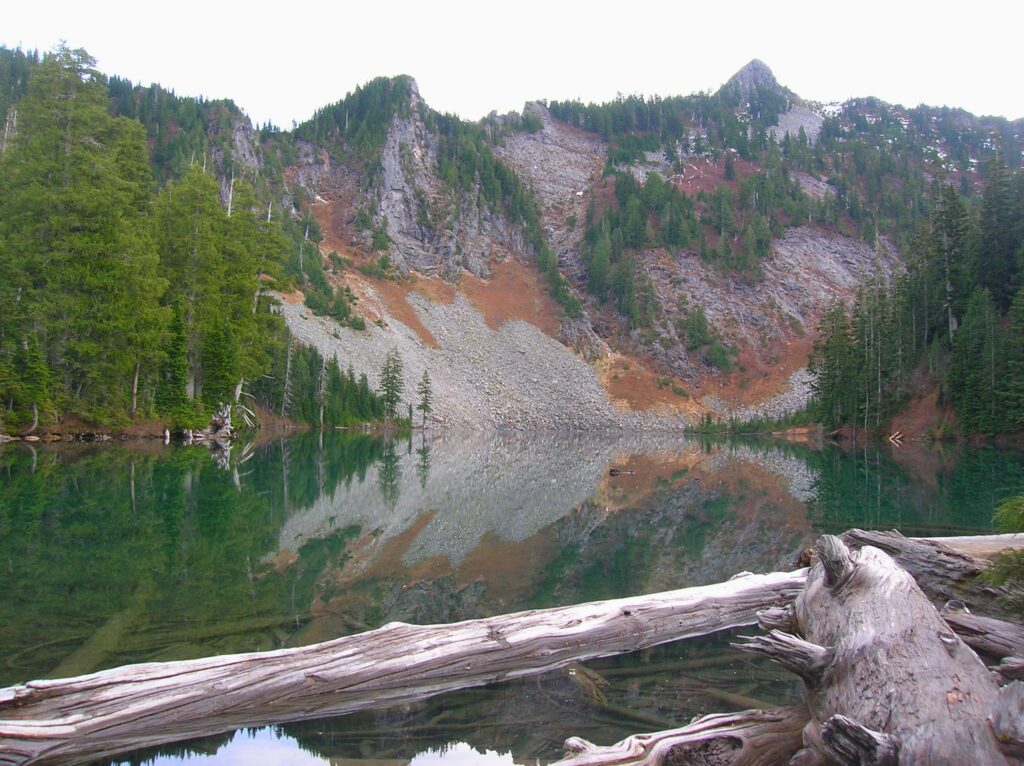
Read MoreSurprise and Glacier Lakes—A surprisingly nice pair of sub-alpine lakes near Stevens Pass
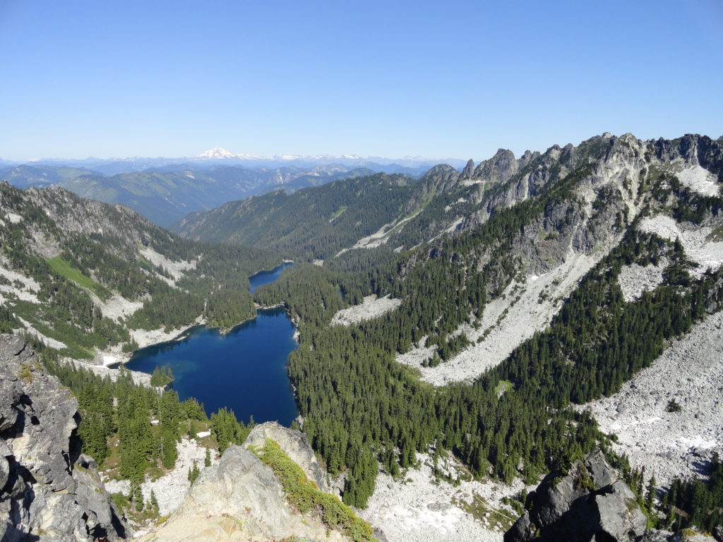
Quick Facts: Location: Stevens Pass area Land Agency: Mount Baker-Snoqualmie National Forest Roundtrip: 11.0 miles Elevation Gain: 2,800 feet Contact: Skykomish Ranger District: Mount Baker-Snoqualmie National Forest Notes: Northwest Forest Pass required; Dogs permitted on leash; Wilderness rules apply Access: From Everett follow US 2 east to Skykomish. Continue 10 more miles turning right (just after…
Read MoreJay Lake — Solitude and camping at Wallace Falls State Park

Quick Facts: Location: Skykomish River Valley, US 2 Land Agency: Washington State Parks Roundtrip: 11.5 miles Elevation gain: 1,575 feet Green Trails Map: Contact: Wallace Falls State Park Notes: Discover Pass required; Dogs must be leashed; Camping requires a permit-attain from park prior to trip. Access: From Everett, follow US 2 for 28 miles east…
Read MorePeshastin Pinnacles — Hike though a magical kingdom of rocky spires

Quick Facts: Location: Wenatchee River Valley near Leavenworth Land Agency: Washington State Parks Roundtrip: 1.5 miles Elevation gain: 400 feet Green Trails Maps: Wenatchee Mission Ridge no. 211S Contact: Peshastin Pinnacles State Park Notes: Discover Pass required; dogs must be leashed. Access: From Leavenworth follow US 2 east for 9 miles turning left onto North…
Read MoreBoulder Lake—trail to this Sultan Basin Lake once again open!
Quick Facts: Location: Sultan Basin Land Agency: Washington Department of Natural Resources Roundtrip: 13.8 miles Elevation Gain: 2,140 feet Green Trails Map: Index WA- No. 142 Notes: Dogs must be on leash; All hikers are required to stop and register (no fee) at kiosk at Olney Pass upon entering Sultan Basin Watershed. Access: From Everett…
Read MoreSwauk Forest Discovery Trail—Golden forest beneath the Diamond Head
Quick Facts: Location: Blewett Pass Land Agency: National Forest Service Roundtrip: 2.8 miles Elevation Gain: 400 feet Green Trails Map: Wenatchee/ Mission Ridge, WA- No 211S Contact: Cle Elum Ranger District: Okanogan-Wenatchee National Forest Access: From Cle Elum follow WA 970 east for 7.0 miles to US 97. Continue north on US 97 for 14.0…
Read More