Posts Tagged ‘Day Hiking Central Cascades’
Mount McCausland—Rise above Valhalla!
Quick Facts: Location: Henry M. Jackson Wilderness Land Agency: National Forest Service Roundtrip: 6.4 miles Elevation Gain: 1,800 feet Green Trails Map: Alpine Lakes Stevens Pass No. 176S Contact: Wenatchee River Ranger District: Okanogan-Wenatchee National Forest Access: From Everett head east on US 2 to Stevens Pass. Continue east for another 4.0 miles. Just after the…
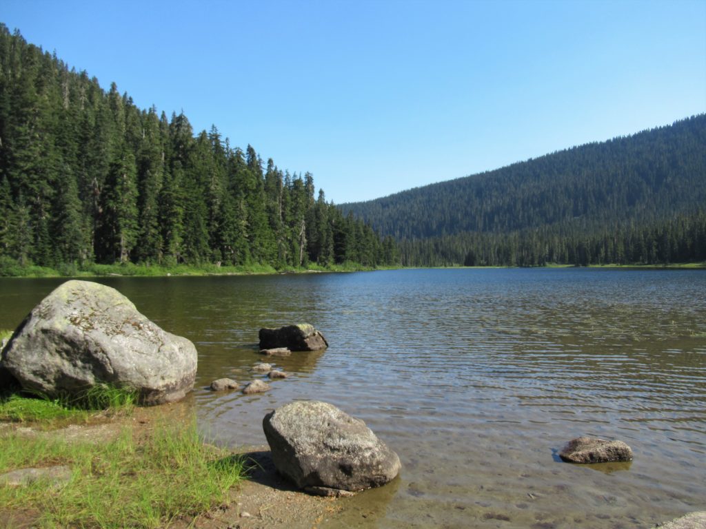
Read MoreTwin Lakes—The fishing is good, but only if you’re an osprey!
Quick Facts: Location: Lake Wenatchee Area Land Agency: Okanogan-Wenatchee National Forest Roundtrip: 6.8 miles Elevation Gain: 1,200 feet Green Trails Map: Wenatchee Lake- No. 145 Contact: Wenatchee River Ranger District (Leavenworth) Notes: Northwest Forest Pass or Interagency Pass required; wilderness rules apply Access: From Everett head east on US 2 to Coles Corner. Turn left (north)…
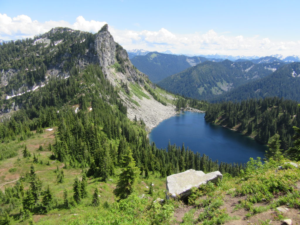
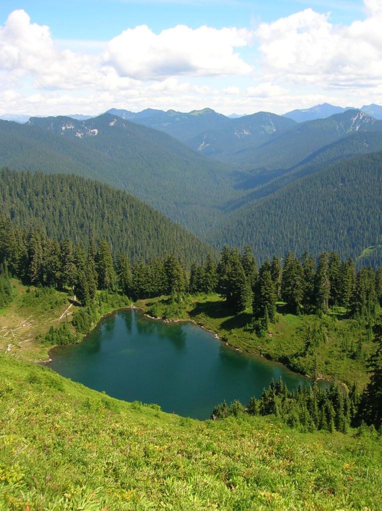
Read MoreLake Janus — quiet alternative to nearby Lake Valhalla
Quick Facts: Location: Pacific Crest Trail near Stevens Pass Land Agency: Mount Baker-Snoqualmie National Forest Roundtrip: 6.5 miles Elevation gain: 1,550 feet Green Trails Map: Benchmark MT- No. 144 Contact: Skykomish Ranger District: Mount Baker -Snoqualmie National Forest Notes: Self-issued free wilderness permit available at trailhead. Wilderness regulations apply. No fires allowed near lake. Practice…
Read MoreGrizzly Peak — It’s a long hike, but not a bear of a hike!
Quick Facts: Location: Pacific Crest Trail, Henry M Jackson Wilderness, Stevens Pass area Land Agency: Mount Baker-Snoqualmie National Forest Roundtrip: 16.4 miles Elevation gain: 3,400 feet Difficulty: difficult Green Trails Map: Benchmark MT- No. 144 Contact: Skykomish Ranger District: Mount Baker-Snoqualmie National Forest Access: From Everett, head east on US 2 to Stevens Pass. Continue…
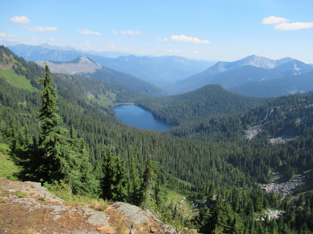
Read MoreBenchmark Mountain–The meadows here measure up among the best
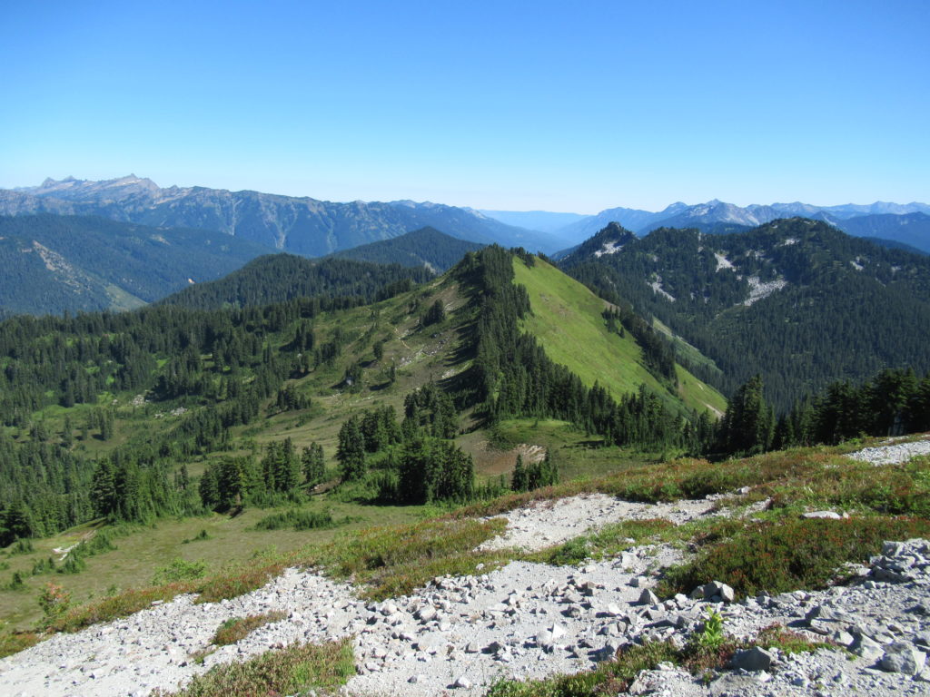
Quick Facts: Location: North Fork Skykomish River Valley Land Agency: Mount Baker-Snoqualmie National Forest Roundtrip: 14.2 miles High Point: 5,816 feet Elevation gain: 3,700 feet Green Trails Maps: Monte Cristo, WA-No. 143, Benchmark MT- No. 144 Contact: Skykomish Ranger District: Mount Baker-Snoqualmie National Forest Note: Northwest Forest or Interagency Pass Required Access: From Everett head…
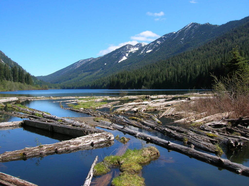
Read MoreFortune Ponds–Two little tranquil bodies of water deep within the Henry M. Jackson Wilderness
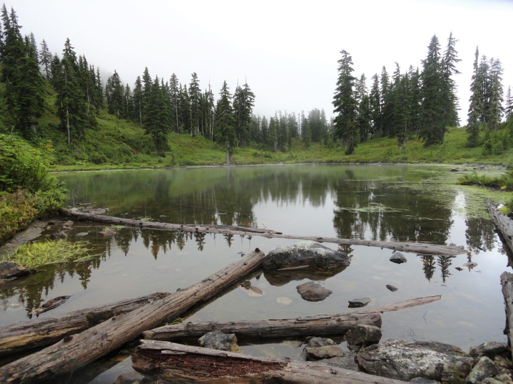
Quick Facts: Location: Beckler River Valley Land Agency: Mount Baker-Snoqualmie National Forest Service Roundtrip: 13.0 miles Elevation Gain: 2,700 feet Green Trails Map: Benchmark Mtn- No. 144 Recommended Guidebook: Day Hiking Central Cascades Access: From Everett head east on US 2 for 50 miles to Skykomish turning left onto the Beckler River Road (FR 65). Continue north for 6.9 miles…
Read MoreJohnson Ridge–Ridgeline hike in the Wild Sky Wilderness
Location: Beckler River near Skykomish Land Agency: Mount Baker-Snoqualmie National Forest Roundtrip: 9.0 miles High Point: 5,540 feet Elevation gain: 2,650 feet Difficulty: difficult Green Trails Maps: Alpine Lakes West Stevens Pass No. 176S Contact: Skykomish Ranger District: Mount Baker-Snoqualmie National Forest Access: From Everett head east on US 2 for 50 miles turning left onto…
Read MoreBeaver Lake Loop–wetland wonderland on Lord Hill
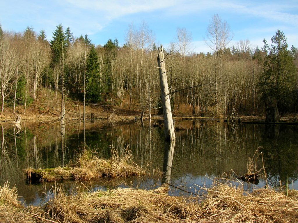
Location: Lord Hill Park near Snohomish Land Agency: Snohomish County Parks Roundtrip: 2.2 miles High Point: 650 feet Elevation gain: 200 feet Difficulty: easy Contact: Snohomish County Parks Notes: Dogs must be on leash; Map available online Access: From Everett, head east on US 2 for 8.0 miles and take 88th Street SE Exit. Turn right…
Read MoreRock Mountain via Snowy Creek—Big sky views and perhaps a goat or two
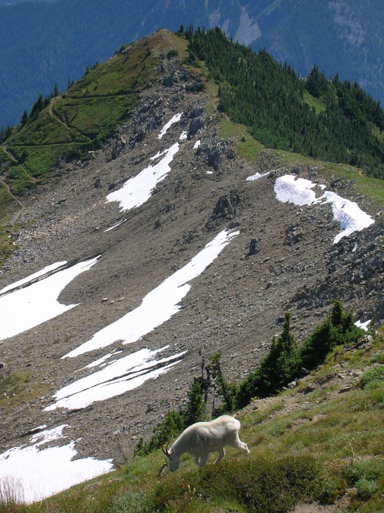
Quick Facts: Location: Nason Ridge near Stevens Pass Land Agency: Okanogan-Wenatchee National Forest Roundtrip: 9.8 miles Elevation Gain: 3,250 feet Green Trails Map: Alpine Lakes Stevens Pass Map 176S Access: From Everett head east on US 2. Four miles past Stevens Pass turn left onto Smith Brook Road (FR 6700). Follow for 6.0 miles turning…
Read MoreTumwater Pipeline Trail—Hike along “strong water” watching rafters and rapids
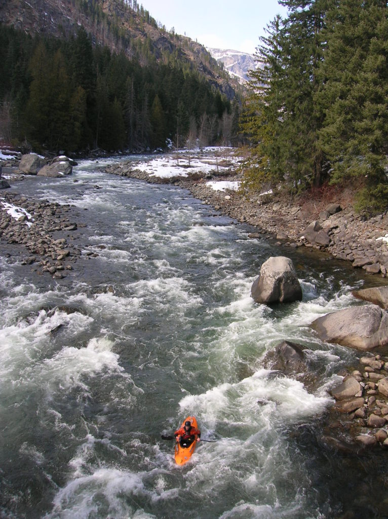
Quick Facts: Location: Wenatchee River Valley Land Agency: Okanogan-Wenatchee National Forest Roundtrip: 2.4 miles Elevation Gain: 100 feet Green trails Map: Leavenworth- No. 178 Access: From Everett head east on US 2 passing Stevens Pass to Coles Corner. Continue east on US 2 for 12.7 miles to trailhead located on your right (between Mileposts 97…
Read More