Posts Tagged ‘dog-friendly’
Deception Creek—Big trees, wilderness valley, no crowds—and that’s the truth!
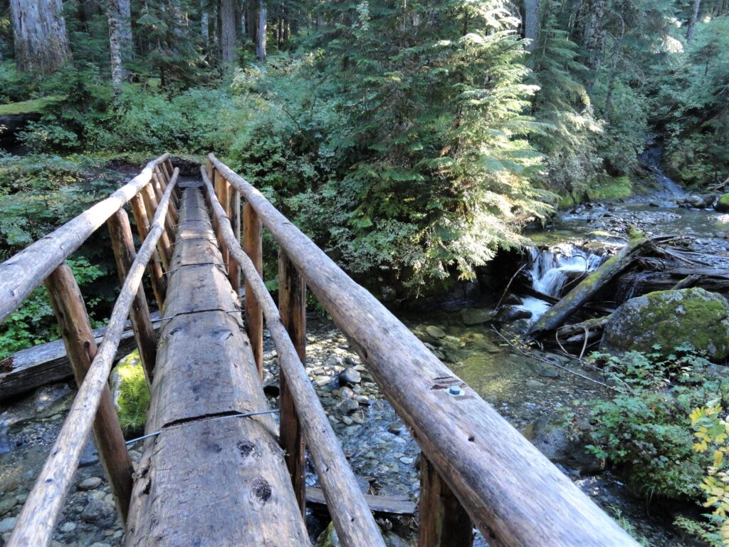
Quick Facts: Location: Skykomish River Valley Land Agency: Mount Baker-Snoqualmie National Forest Roundtrip: 10.5 miles Elevation Gain: 1,350 feet Notes: Northwest Forest Pass required; Dogs permitted on leash. Contact: Skykomish Ranger District: Mount Baker-Snoqualmie National Forest Green Trails Map: Alpine Lakes-Stevens Pass-No. 176S Access: From Everett drive US 2 east to Skykomish. Then continue for another…
Read MoreTubal Cain Mine and Buckhorn Lake — Take a “rhody trip” to an historic mine
Quick Facts: Location: Buckhorn Wilderness, Olympic National Forest Land Agency: National Forest Service Roundtrip: 12.4 miles Elevation Gain: 2,100 feet Contact: Olympic National Forest, Hood Canal Ranger District, Quilcene, Green Trails Map: Olympic Mountains East 168SX Notes: Wilderness regulations apply Access: From Discovery Bay (Jct SR 20 and US 101), drive no US 101 north and turn left…
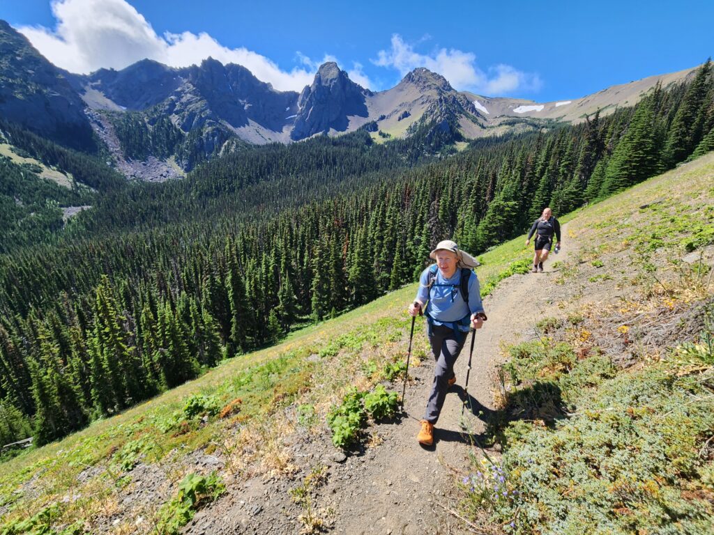
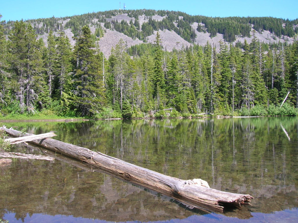
Read MoreFourth of July Creek—Celebrate Independence Day with these explosive views!
Quick Facts: Location: Central Cascades Land Agency: Okanogan-Wenatchee National Forest Roundtrip: 11.2 miles Elevation Gain: 4,700 feet Notes: rattlesnakes are common along lower portions of trail. Green Trails Map: Alpine Lakes East Stuart Range 208SX Contact: Wenatchee River Ranger District (Leavenworth) More information: Day Hiking Central Cascades 2nd edition (The Mountaineers Books) Access: From Leavenworth follow the…
Read MoreMount Defiance─ the Undisputed Granddaddy of the Gorge
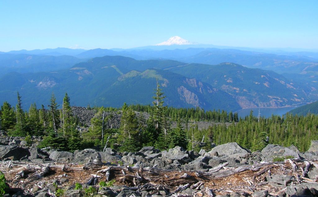
Quick Facts: Location: Columbia River Gorge National Scenic Area, Oregon Land Agency: National Forest Service Roundtrip: 13.2 miles Elevation Gain: 5,130 feet Green Trails Map: Columbia River Gorge-West Map 428S Access: From Portland follow I-84 east to Exit 55 to the Starvation Creek Trailhead. Contact: Columbia Gorge National Scenic Area Recommended Guidebook: Day Hiking Columbia…
Read MoreCopper Butte via Old Stage Trail– Take a historic route to the rooftop of the Kettle River Range

Quick Facts: Location: Kettle River Range Land Agency: Colville National Forest Roundtrip: 6.0 miles Elevation Gain: 1615 feet Contact: Colville National Forest, Three Rivers Ranger District-Kettle Falls Access: From Republic, head east on SR 20 for 21 miles turning left onto FR 2030 (Albion Hill Road). From Kettle Falls, head west on SR 20 for 22 miles turning…
Read MoreBear Lake—A bear of a lake but not of a hike!
Quick Facts: Location: Mark O Hatfield Wilderness, Columbia River Gorge National Scenic Area, Oregon Land Agency: National Forest Service Roundtrip: 2.4 miles Elevation Gain: 575 feet Green Trails Map: Columbia River Gorge -West No 428S Contact: Mount Hood National Forest, Hood River Ranger Station Notes: Wilderness rules apply Access: From Portland follow I-84 east to…
Read MoreSteens Mountain– Into the heart of Oregon’s “Big Empty”
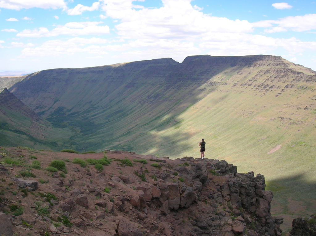
Quick Facts: Location: Great Basin, Eastern Oregon Land Agency: Steens Mountain Cooperative Management and Protection Area (BLM) Roundtrip: Kiger Gorge Rim; up to 4.0 miles Elevation gain: Up to 500 feet Difficulty: moderate Contact: BLM Burns Office Access: From Burns, Oregon travel 60 miles south to Frenchglen. Take Steens Mountan Loop Road for 23 miles.…
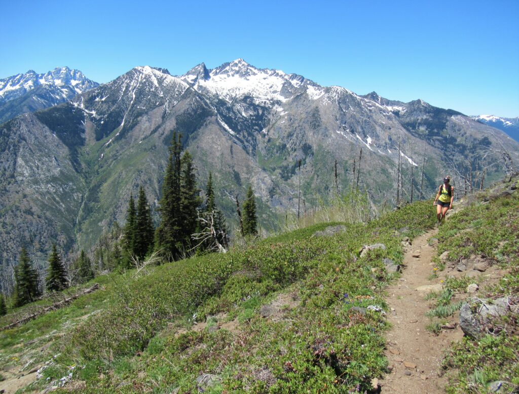
Read MoreLookout Mountain
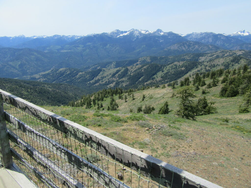
Look out over the Methow Valley and beyond Quick Facts: Location: Methow Valley, WA Distance: 3.0 miles one way Elevation Gain: 1170 feet Contact: Okanogan-Wenatchee National Forest, Methow Valley Ranger District Maps: Green Trails Methow Valley 51SX Recommended Guidebook: Day Hiking North Cascades (Mountaineers Books) Notes: trail open to mountain bikes and motorcycles; Final 1.5…
Read MoreFletcher Canyon– Explore a rugged rift in the Quinault Ridge
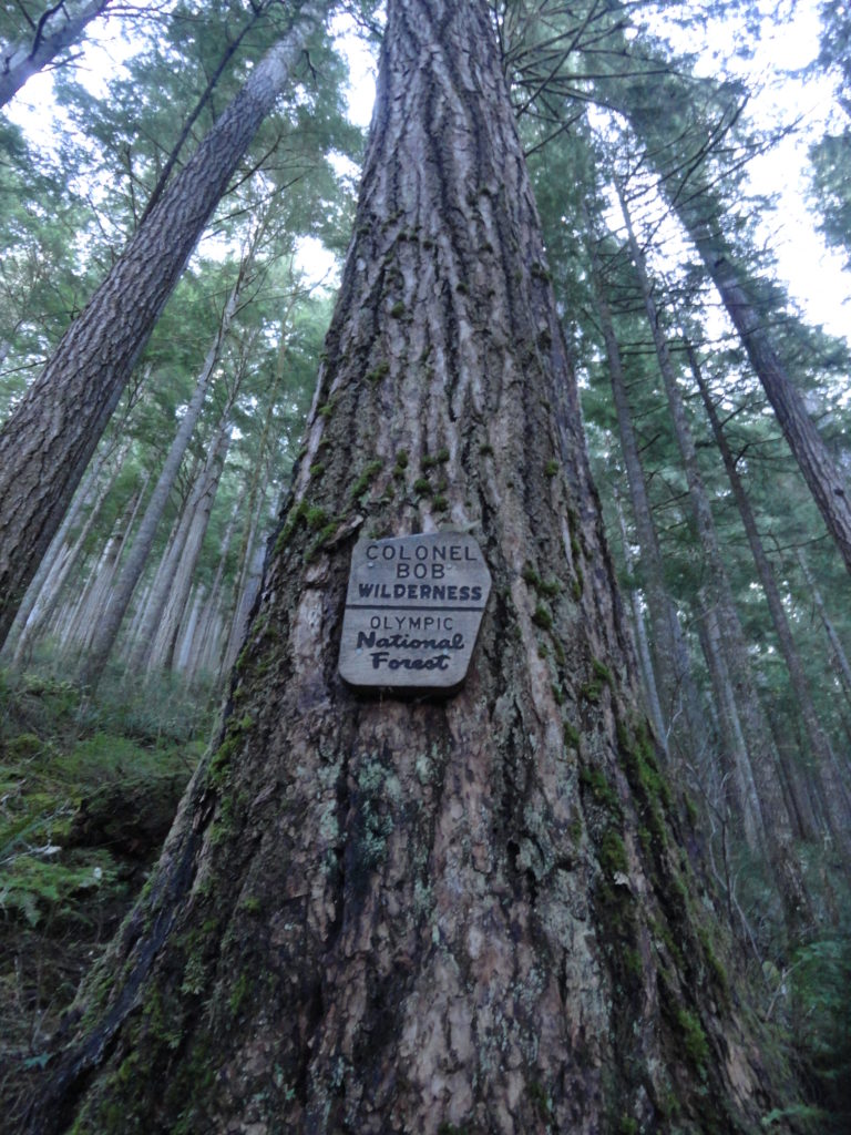
Quick Facts: Location: Colonel Bob Wilderness Land Agency: Olympic National Forest Roundtrip: 3.8 miles Elevation Gain: 1100 feet Contact: Olympic National Forest, Pacific Ranger District, Quinault Green Trails Map: Mt Christie No. 166 Recommended Guidebook: Day Hiking Olympic Peninsula 2nd edition (Mountaineers Books) Access: From Hoquiam, travel north on US 101 for 38 miles turning right onto South…
Read MoreBlythe and Chukar Lakes─Birds and beauty in the Channeled Scablands
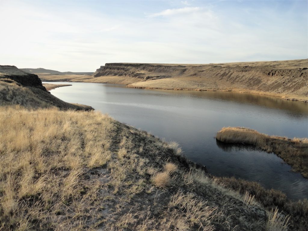
Location: Columbia National Wildlife Refuge, Grant County Land Agency: U.S. Department of the Interior Contact: Columbia National Wildlife Refuge Roundtrip: 3.0 miles Elevation Gain: 300 feet Note: Dogs permitted on leash. Be snake and tick aware Good to know: dog-friendly, kid-friendly, spring wildflowers, exceptional birdwatching, snow-free hike Access: From Spokane, take I-90 west to Exit 179…
Read More