Posts Tagged ‘hiking Snohomish county’
Yost Park– Slice of Nature in the heart of Edmonds
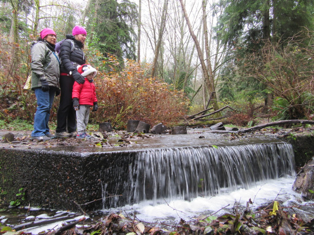
Quick Facts: Location: Edmonds Land Agency: Edmonds Parks and Recreation Department Roundtrip: About 1.5 miles of trails Elevation Gain: up to 300 feet Contact: Edmonds Parks and Recreation Access: From Everett or Seattle take I-5 to Exit 179. Then head west on 220th Street SW for 2.1 miles. Turn right and head north on 96th Ave…
Read MoreTwo Trees Trail─Two big pines and plenty of other trees, too!
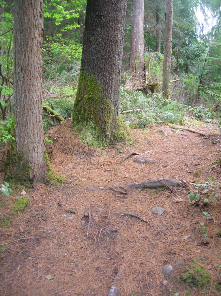
Quick Facts: Location: Maltby Land Agency: Snohomish County Parks Roundtrip: 3.8 miles Elevation Gain: 75 feet Special Note: Dogs must be leashed. Contact: Snohomish County Parks Access: From SR 522 in Maltby (5.0 miles east of Woodinville; 8.0 miles west of Monroe) head east on Paradise Lake Road for 1.7 miles to trailhead. Snohomish County…
Read MoreLangus Waterfront Trail
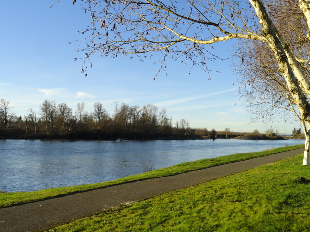
A slough of surprises await just minutes from downtown Everett Quick Facts: Location: City of Everett Land Agency: Everett Parks and Recreation Department Roundtrip: 4.0 miles Elevation Gain: None Access: From Everett, take Exit 195 off of I-5 turning left onto East Grand Ave. In 0.5 mile bear right onto East Marine View Drive and follow…
Read MoreLake Twentytwo─waterfalls, big cedars and a beautiful lake beneath Mount Pilchuck
Quick Facts Location: Mountain Loop Highway near Granite Falls Land Agency: Mount Baker-Snoqualmie National Forest Roundtrip: 5.4 miles Elevation Gain: 1,350 feet Green Trails Map: Mountain Loop Highway 111SX Notes: NW Forest Pass required; dogs permitted on leash; trail can get busy, practice Leave No Trace ethics and consider visiting on a weekday. Access: From…
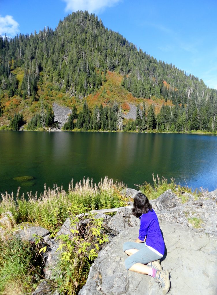
Read MoreImage Lake — jewel in the heart of the Glacier Peak Wilderness
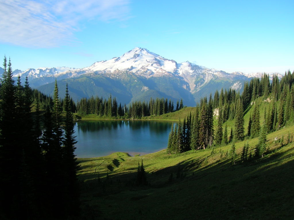
Quick Facts: Location: Glacier Peak Wilderness Land Agency: Mount Baker-Snoqualmie National Forest Roundtrip: 33.0 miles Elevation Gain: 4,700 feet Green Trails Map: Mountain Loop Highway 111SX Contact: Darrington Ranger District: Mount Baker Snoqualmie National Forest Notes: NW Forest or Interagency Pass required; No camping within ¼ mile of Image Lake—use established campsites; no fires at lake; respect re-vegetation…
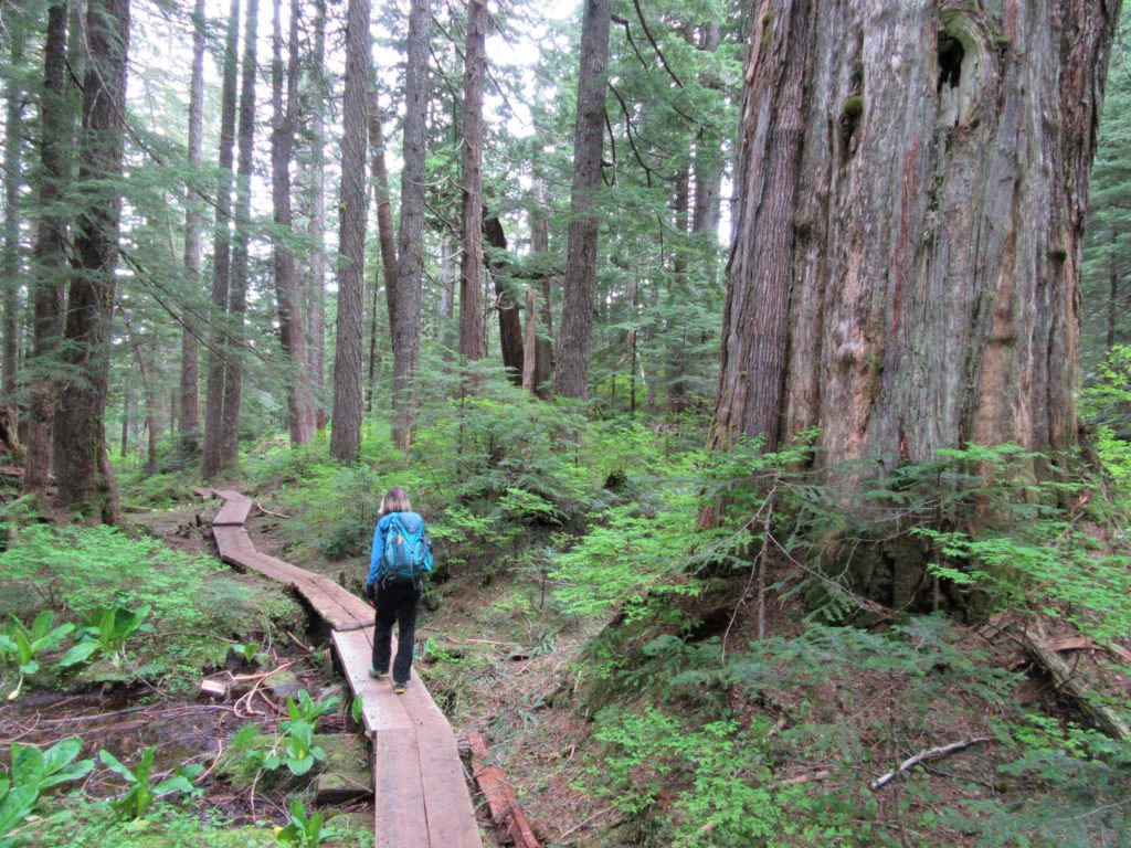
Read MoreBoulder River- waterfalls among old-growth forest

Quick Facts: Location: Boulder River Wilderness, near Darrington Land Agency: National Forest Service Round trip: 8.6 miles Elevation Gain: 750 feet Green Trails Maps: Mountain Loop Highway 111SX Access: From Arlington follow SR 530 for 20 miles. Just beyond Milepost 41 near a subdivision turn right onto FR 2010 and continue for 3.7 miles to trailhead. Contact:…
Read MoreAshland Lakes
Old growth forest serenity Quick Facts: Location: Mountain Loop Highway Land Agency: National Forest Service Roundtrip: 5.5 miles Elevation Gain: 800 feet Green Trails Map: Mountain Loop Highway no. 111SX Contact: Darrington Ranger District: Mount Baker- Snoqualmie National Forest Access: From Granite Falls follow the Mountain Loop Highway east to the Verlot Visitors Center. Proceed for…
Read MoreLake Cassidy─ADA Trail to a pretty lake along the Centennial Trail
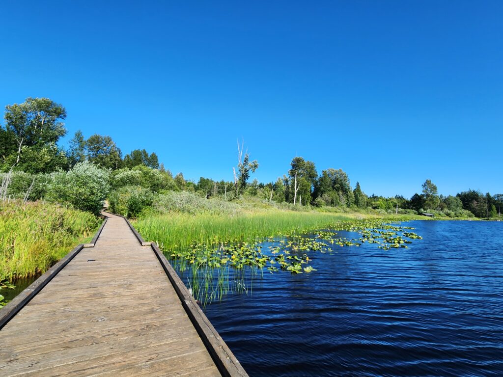
Quick Facts: Location: Marysville Land Agency: Snohomish County Parks Roundtrip: 2.5 miles Elevation Gain: 50 feet Access: From Marysville (Exit 199 I-5) follow SR 528 for 3.0 miles east to SR 9. Head north on SR 9 for 1.0 mile to junction with 84th Street NE. Turn right (east) and continue for just shy of…
Read MoreMainline Trail—Hike through the heart of the Paradise Valley Conservation Area
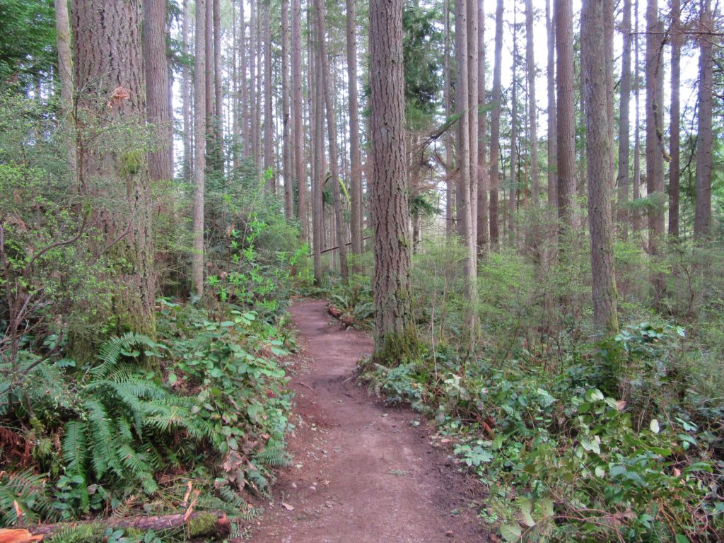
Quick Facts: Location: Maltby Land Agency: Snohomish County Parks Roundtrip: 3.2 miles Elevation Gain: minor ups and downs Access: From SR 522 in Maltby (5.0 miles east of Woodinville; 8.0 miles west of Monroe) head east on Paradise Lake Road for 1.7 miles to trailhead. Notes: Dogs must be on leash. Park open 7 am…
Read MoreJapanese Gulch — Historic Ravine laced with trails

Quick Facts: Location: Mukilteo Land Agency: Mukilteo Recreation Department Roundtrip: More than 7 miles of trails Elevation Gain: up to 500 feet Contact: Mukilteo Recreation Department Notes: Trail system is currently rough in places and unsigned. Access: From Everett, head west on Mukilteo Blvd (which becomes 5th Street in Mukilteo) for to parking and trailhead on…
Read More