Posts Tagged ‘Historic’
Marten Creek─Overlooked trail off the Mountain Loop Highway offers plenty of solitude
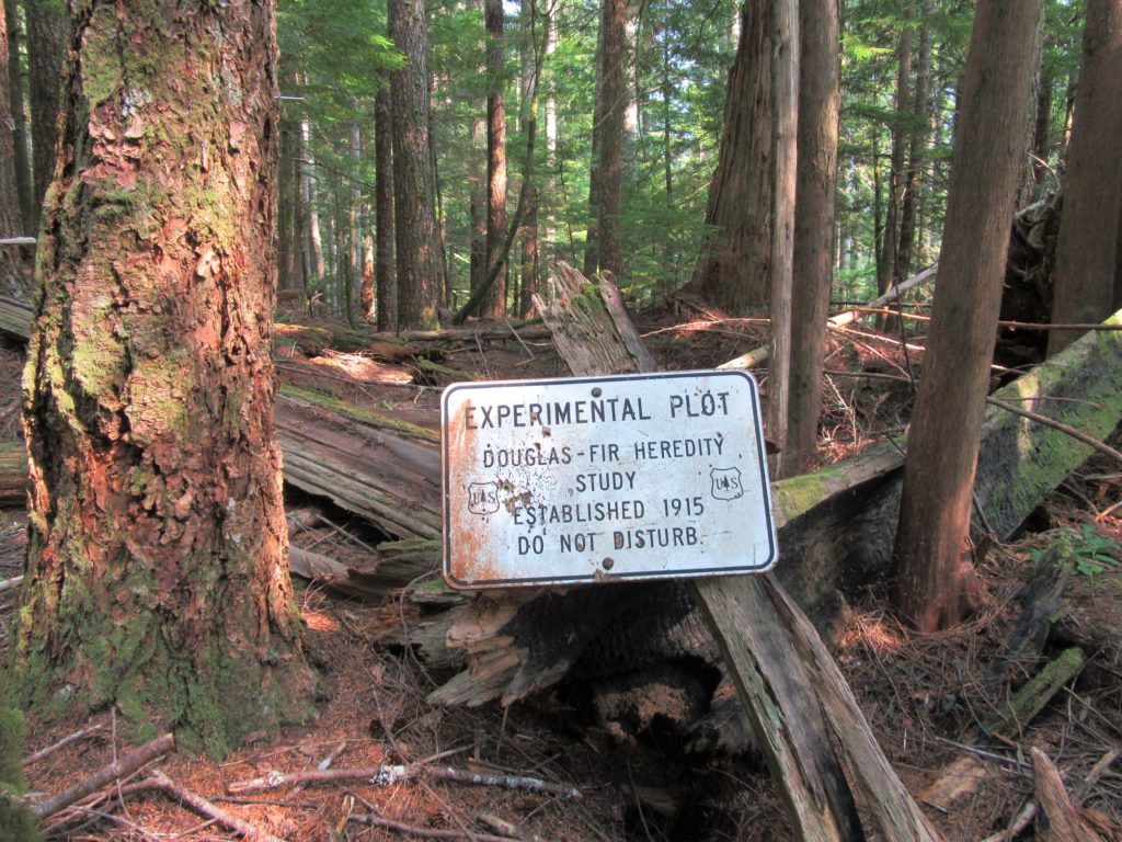
Quick Facts Location: Boulder River Wilderness, Mountain Loop Highway near Granite Falls Land Agency: Mount Baker-Snoqualmie National Forest Roundtrip: 5.2 miles Elevation Gain: 1,300 feet Green Trails Map: Mountain Loop Highway WA- No. 111SX Recommended Guidebook: Day Hiking North Cascades 2nd edition (Mountaineers Books) Access: From Granite Falls follow the Mountain Loop Highway east for…
Read MoreOld Kettle Falls Trail
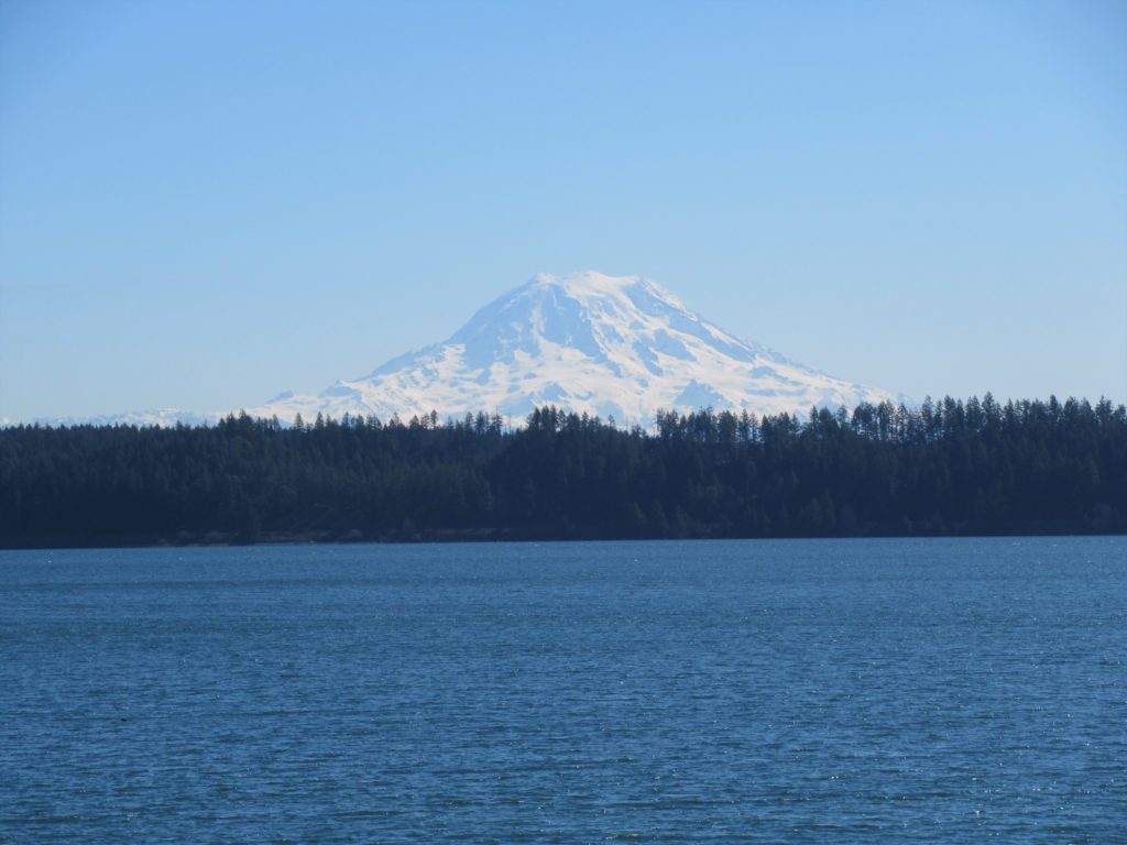
Hike through an old town site along a tamed river Quick Facts: Location: Lake Roosevelt, Stevens County, WA Land Agency: National Park Service Roundtrip: 2.6 miles Elevation Gain: minimal Contact: Lake Roosevelt National Recreation Area Detailed Information: Day Hiking Eastern Washington (Mountaineers Books) Notes: Dogs permitted on leash Access: From Kettle Falls head west on SR 20-US 395…
Read MoreHappy Panther Trail–Take a joyful catwalk in the North Cascades
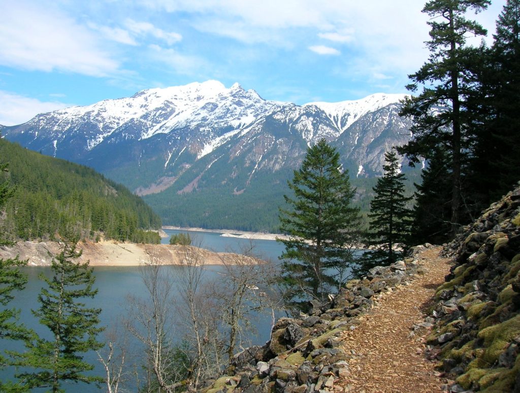
Quick Facts: Location: North Cascades Scenic Highway Land Agency: Ross Lake National Recreation Area, National Park Service Roundtrip: 11.8 miles Elevation gain: 1200 feet Green Trails Maps: Green Trails, North Cascades Ross Lake No. 16SX Contact: North Cascades National Park complex Notes: Dogs must be leashed Access: From Burlington follow SR 20 east to Marblemount. Then…
Read MoreWhipple Creek Regional Park

Quiet forest wandering in bustling Clark County Quick Facts: Location: Clark County Land Agency: Clark County Parks Round Trip: more than 6.0 miles of trails Elevation Gain: up to 250 feet Contact: Clark County Public Works Parks and Lands Division Detailed Information: Urban Trails Vancouver WA (Mountaineers Books) Notes: Dogs permitted on leash; some trails…
Read MoreNorth Head Lighthouse–Hike to a headland at the mouth of the Columbia River
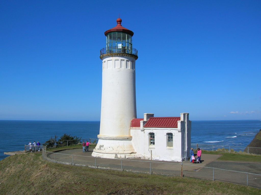
Location: Cape Disappointment State Park, Long Beach Peninsula Land Agency: Washington State Parks Roundtrip: 4.2 miles Elevation gain: 300 feet Contact: Cape Disappointment State Park Notes: Discover Pass required; Dogs must be leashed Good to Know: kid-friendly, snow free winter hike, historic Access: From Kelso follow SR 4 west to Naselle. Turn left onto SR…
Read MoreJacobs Point Park
Park rich with views, history, and wildlife on Oro Bay Quick Facts: Location: Anderson Island Land Agency: Anderson Island Park and Recreation Department Round Trip: 2.5 mile loop Elevation Gain: minimal Contact: Anderson Island Park and Recreation Department Detailed Information: Urban Trails Tacoma (Mountaineers Books) Notes: Dogs prohibited Access: From Steilacoom–Anderson Island Ferry terminal take…
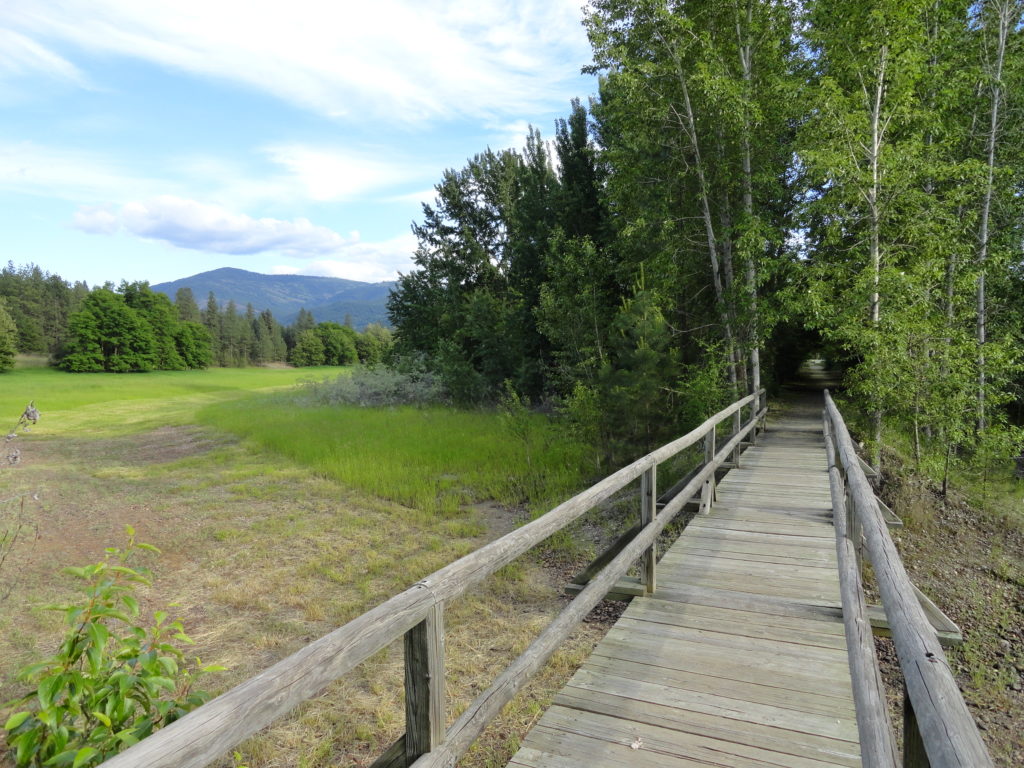
Read MoreScriber Lake–Wetland Wonder in the heart of Lynnwood
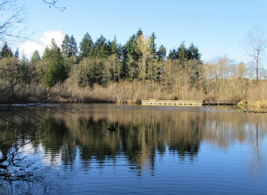
Quick Facts: Location: Lynnwood Land Agency: City of Lynnwood Parks and Recreation Roundtrip: 1.2 miles Elevation gain: none Difficulty: Easy Contact: Lynnwood Parks and Recreation Department; (425-771-4030) Notes: Dogs must be leashed Access: From Seattle take I-5 to exit 181. Turn left onto 44th Ave NW. At third light turn left onto SR 524 (196th…
Read MoreUpper Dungeness River─Take shelter from the rain under a magnificent old-growth canopy
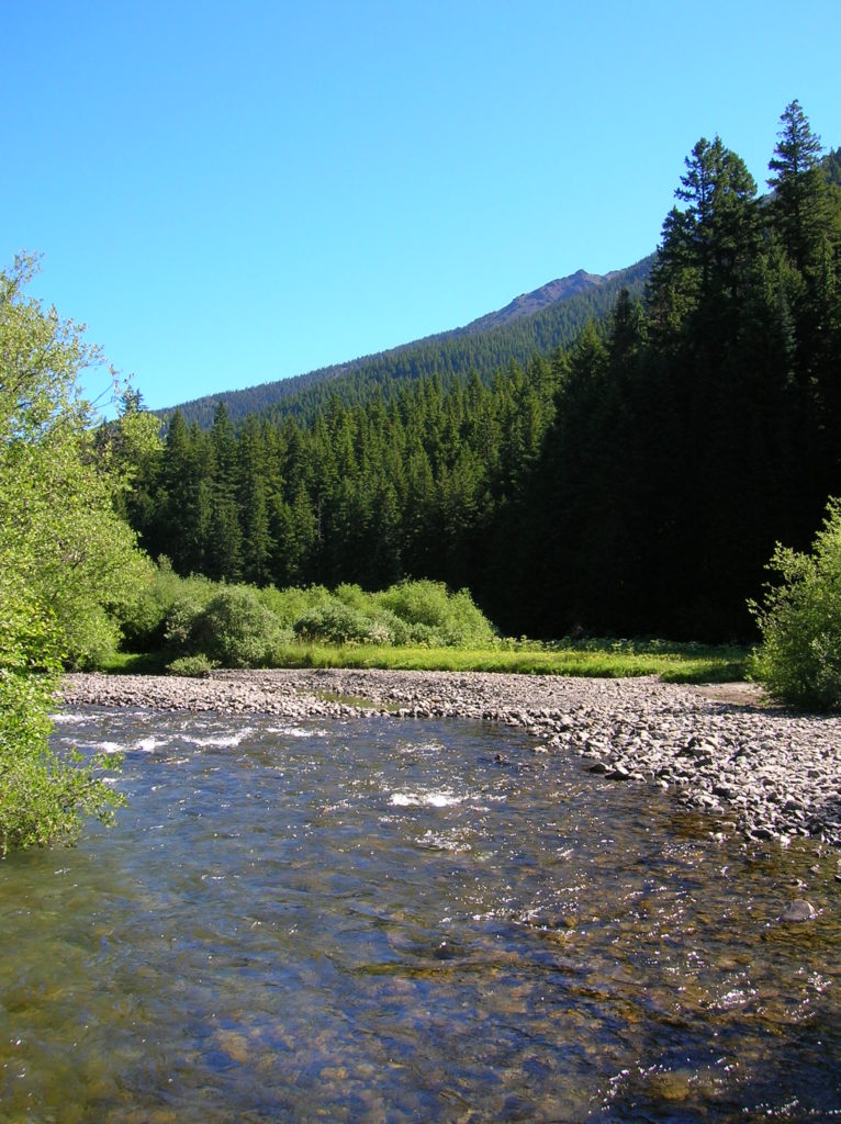
Quick Facts: Location: Buckhorn Wilderness, Olympic National Forest Land Agency: National Forest Service Roundtrip: 7.0 miles Elevation Gain: 600 feet Green Trails Map: Olympic Mountains East 168SX Note: NW Forest Pass or Interagency Pass required Access: From US 101 turn south onto Louella Road (directly across from Sequim Bay State Park entrance). In one mile…
Read MoreAbercrombie Mountain– Northeast Washington’s second highest summit is first rate when it comes to views
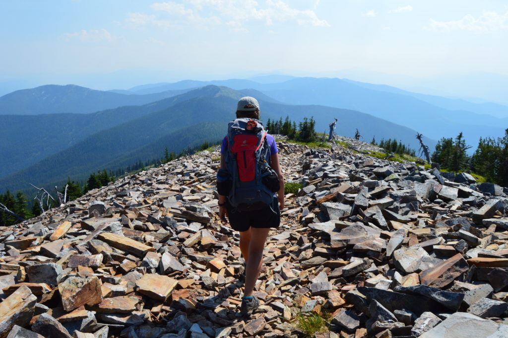
Quick Facts: Location: Abercrombie-Hooknose Roadless Area, Selkirk Mountains Land Agency: Colville National Forest Roundtrip: 7.4 miles Elevation gain: 2,300 feet Contact: Colville National Forest, Three Rivers Ranger District (Colville) (509) 684-3711 Notes: Access road requires high clearance vehicle Access: From Colville, Washington travel north on Aladdin Road (CR 9435) for 25 miles. Turn right on…
Read MoreHamilton Mountain — Breathtaking views from above Beacon Rock
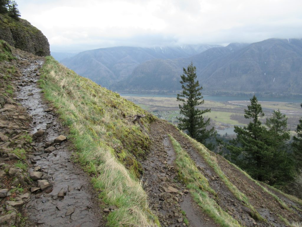
Quick Facts: Location: Beacon Rock State Park, Columbia River Gorge National Scenic Area Land Agency: Washington State Parks Roundtrip: 7.5 miles Elevation gain: 2,100 feet Contact: Beacon Rock State Park Notes: Discover Pass required; Dogs permitted on leash. Green Trails Map: Columbia River Gorge West No. 428S Recommended Guidebooks: Day Hiking Columbia River Gorge, 100…
Read More