Posts Tagged ‘kid-friendly’
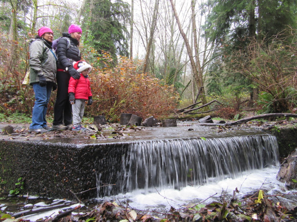
Explorer Falls–It's an easy search to find these falls

Quick Facts: Location: Near Lake Roesiger between Monroe and Granite Falls Land Agency: Washington DNR Roundtrip: 5.2 miles Elevation gain: 700 feet Contact: Washington DNR Notes: Discover Pass Required. Do not block gates, nor drive past it if open. Active logging area, be alert to trucks on roadway and yield right-of-way. Access: From Monroe, follow…
Read MoreCheam Lake Wetlands–Birding hotspot where the North Cascades meet the Fraser River
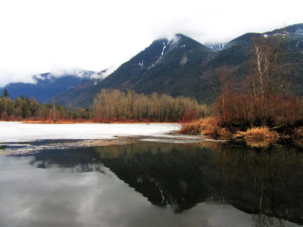
Quick Facts: Location: Popkum, Fraser Valley Regional District, BC Land Agency: Fraser Valley Regional Parks Round Trip: 2.5 miles (4.0 km) roundtrip Elevation Gain: minimal Contact: Fraser Valley Regional Parks Notes: Dogs prohibited Access: From Vancouver, BC follow Trans-Canada Highway 1 east to Exit 138 (12 miles /20 kilometers east of Chilliwack). Turn left and…
Read MoreSouth Indian Island — Enjoy peaceful shoreline strolling along a line of defense
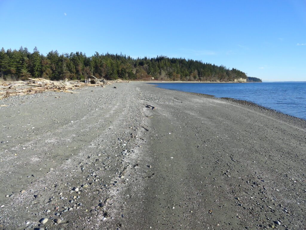
Quick Facts: Location: Indian Island near Port Hadlock Land Agency: Jefferson County Parks Roundtrip: 4.0 miles Elevation Gain: 70 feet Notes: Detailed information can be found in Day Hiking Olympic Peninsula (Mountaineers Books) Contact: Jefferson County Parks Access: From Kingston, drive State Route 104 turning right onto SR 19. Then continue north for 9 miles turning right onto…
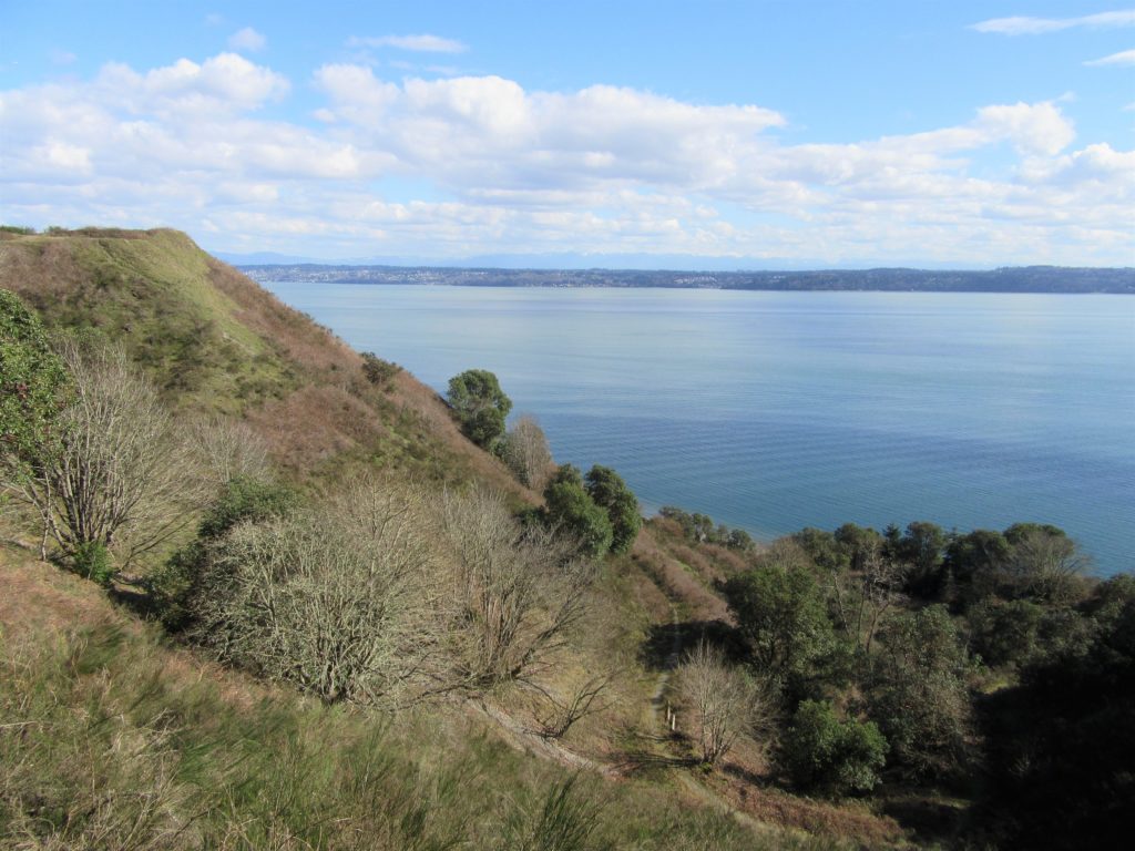
Read MoreAndy’s Marine Park
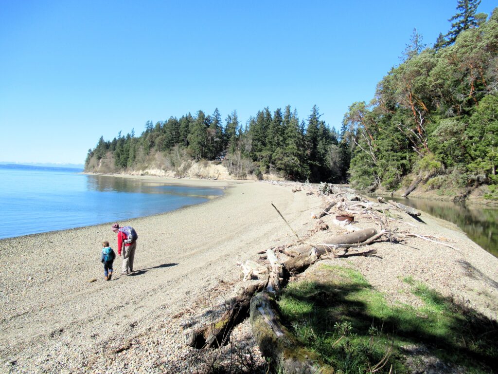
Hike to a cove and beach on Anderson Island Quick Facts: Location: Anderson Island Land Agency: Anderson Island Park and Recreation District Round Trip: 1.5 miles roundtrip Elevation Gain: 190 feet Contact: Andy’s Marine Park Detailed Information: Urban Trails Tacoma (Mountaineers Books) Notes: dogs prohibited. Trails can be slick in wet weather Access: From Anderson…
Read MorePadilla Bay Dike Trail–shore fine hike in the Skagit Valley
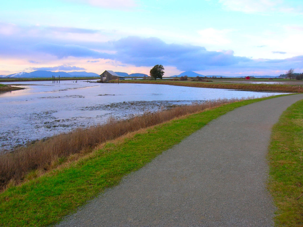
Quick Facts: Location: Skagit County Land Agency: Padilla Bay National Estuarine Research Reserve Roundtrip: 4.8 miles Elevation Gain: 30 feet Contact: Padilla Bay NERR Access: From Burlington (exit 231 on I-5) proceed through roundabouts and head west on Josh Wilson Road for 6.4 miles. Upon entering the village of Bay View turn left onto 2nd Street…
Read MoreVancouver Lake Regional Park
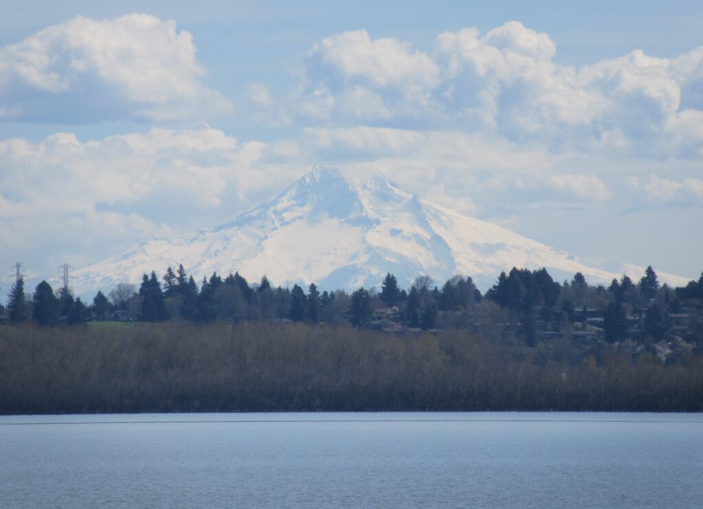
Volcano views and excellent birdwatching just west of downtown Vancouver, WA Quick Facts: Location: Vancouver, WA Land Agency: Clark County Parks Round Trip: 3.0 miles of trails Elevation Gain: minmal Contact: Vancouver Lake Regional Park Detailed Information: Urban Trails Vancouver WA (Mountaineers Books) Notes: year round parking fee of $5.00; Dogs permitted on-leash and prohibited…
Read MoreYost Park– Slice of Nature in the heart of Edmonds
Quick Facts: Location: Edmonds Land Agency: Edmonds Parks and Recreation Department Roundtrip: About 1.5 miles of trails Elevation Gain: up to 300 feet Contact: Edmonds Parks and Recreation Access: From Everett or Seattle take I-5 to Exit 179. Then head west on 220th Street SW for 2.1 miles. Turn right and head north on 96th Ave…
Read MoreTwo Trees Trail─Two big pines and plenty of other trees, too!
Quick Facts: Location: Maltby Land Agency: Snohomish County Parks Roundtrip: 3.8 miles Elevation Gain: 75 feet Special Note: Dogs must be leashed. Contact: Snohomish County Parks Access: From SR 522 in Maltby (5.0 miles east of Woodinville; 8.0 miles west of Monroe) head east on Paradise Lake Road for 1.7 miles to trailhead. Snohomish County…
Read MoreLake Padden Park- big trees and placid lake minutes from bustling Bellingham
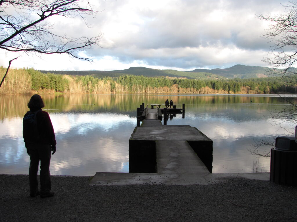
Quick Facts: Location: Bellingham Distance: more than 9.0 miles of trails Elevation Gain: up to 600 feet Contact: City of Bellingham Park Map: Square One Maps Chuckanut Recreation Area Notes: on-leash and off-leash trails Trailhead directions: From Bellingham follow I-5 south to Fairhaven Exit 252. Then continue south on Samish Way for 2.3 miles turning…
Read MoreDockton Forest and Maury Island Natural Area — Explore Vashon Island’s grand park
Quick Facts: Location: Vashon Island Land Agency: King County Parks Round Trip: More than 10 miles of trails Elevation Gain: up to 450 feet Contact: King County Parks Detailed Information: Urban Trails Seattle (Mountaineers Books) Notes: Dogs allowed on leash Access: From Seattle take Washington State Ferry from Fauntleroy (West Seattle) to Vashon Island Ferry…
Read More