Posts Tagged ‘kid-friendly’
Horse Creek Trail–Trot through towering coastal old-growth forest
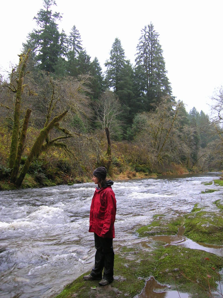
Quick Facts: Location: Drift Creek Wilderness, Siuslaw National Forest Land Agency: National Forest Service Roundtrip: 7.2 miles Map: Online from Forest Service Elevation gain: 1,400 feet Difficulty: moderate Contact: Central Coast Ranger District (Waldport), Siuslaw National Forest Notes: Drift Creek Wilderness is south of Newport. Do not confuse with popular Drift Creek Falls near Lincoln…
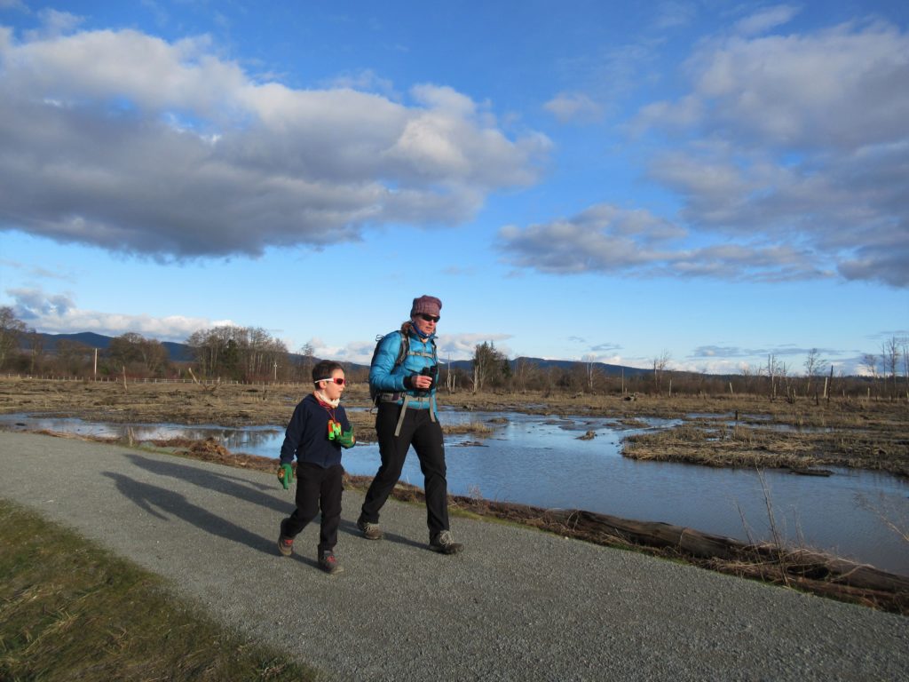
Read MoreTheler Wetlands─Enjoy the sounds and smells of spring at Hood Canal
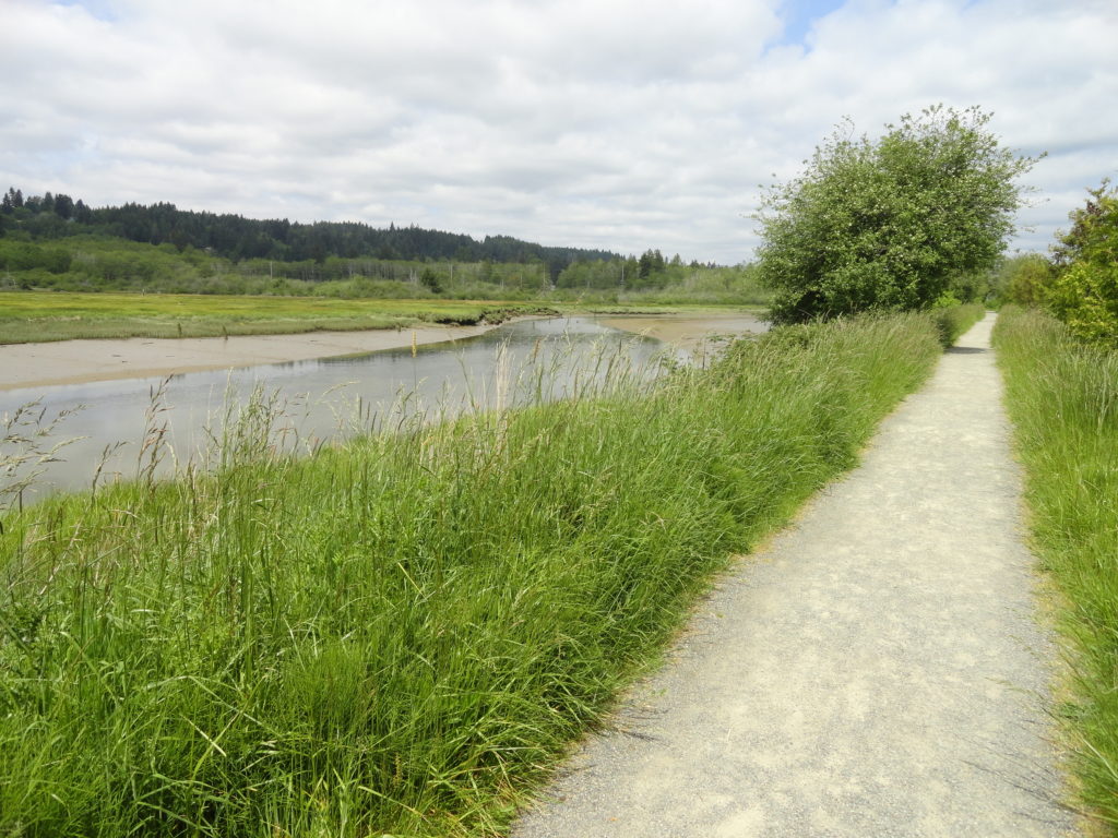
Quick Facts: Location: Kitsap Peninsula Land Agency: City of Belfair, Washington Distance: 3.0 miles of trails Elevation Gain: 40 feet Recommended Resource: Urban Trails Kitsap Notes: Trail open dawn to dusk. Dogs are prohibited. Access: From Bremerton head west on SR 3 to Belfair. Proceed one mile beyond the junction with SR 300 to the…
Read MoreDuckabush River — Every day is Hump Day on this wilderness trail!

Quick Facts: Location: The Brothers Wilderness, east Olympic Peninsula Land Agency: Olympic National Forest Roundtrip: 10.6 miles Elevation gain: 2,300 feet Contact: Hood Canal Ranger District, Quilcene ; Olympic National Forest Green Trails Map: Olympics East no. 168SX Notes: Trail crosses a recent burn area, beware of falling snags especially during windy days Good to Know:…
Read MoreWhipple Creek Regional Park

Quiet forest wandering in bustling Clark County Quick Facts: Location: Clark County Land Agency: Clark County Parks Round Trip: more than 6.0 miles of trails Elevation Gain: up to 250 feet Contact: Clark County Public Works Parks and Lands Division Detailed Information: Urban Trails Vancouver WA (Mountaineers Books) Notes: Dogs permitted on leash; some trails…
Read MoreWhispering Firs Trail– While away a winter day on this Paradise Valley trail

Location: Maltby Land Agency: Snohomish County Parks Roundtrip: 0.6 mile Elevation gain: minimal Contact: Snohomish County Parks; map available on line Notes: Dogs must be on a leash Access: From SR 522 in Maltby (5.0 miles east of Woodinville; 8.0 miles west of Monroe) head east on Paradise Lake Road for 1.7 miles to trailhead.…
Read MoreJacobs Point Park
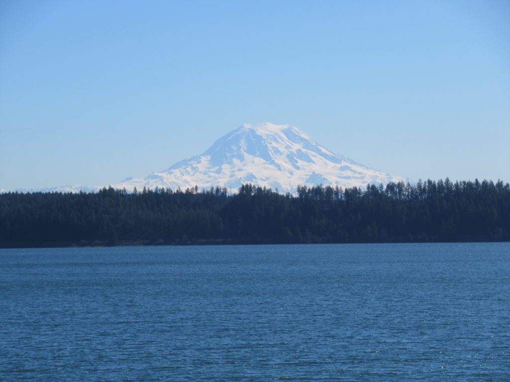
Park rich with views, history, and wildlife on Oro Bay Quick Facts: Location: Anderson Island Land Agency: Anderson Island Park and Recreation Department Round Trip: 2.5 mile loop Elevation Gain: minimal Contact: Anderson Island Park and Recreation Department Detailed Information: Urban Trails Tacoma (Mountaineers Books) Notes: Dogs prohibited Access: From Steilacoom–Anderson Island Ferry terminal take…
Read MoreScriber Lake–Wetland Wonder in the heart of Lynnwood
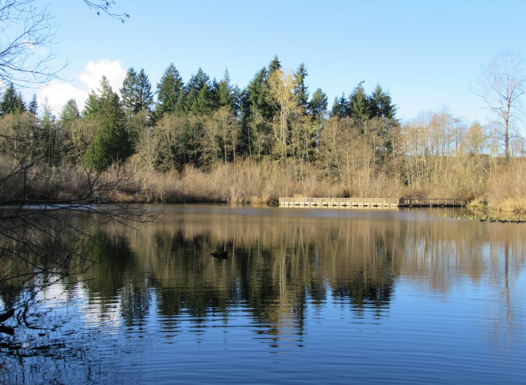
Quick Facts: Location: Lynnwood Land Agency: City of Lynnwood Parks and Recreation Roundtrip: 1.2 miles Elevation gain: none Difficulty: Easy Contact: Lynnwood Parks and Recreation Department; (425-771-4030) Notes: Dogs must be leashed Access: From Seattle take I-5 to exit 181. Turn left onto 44th Ave NW. At third light turn left onto SR 524 (196th…
Read MoreLittle Si─You won’t sigh over the views from this open summit
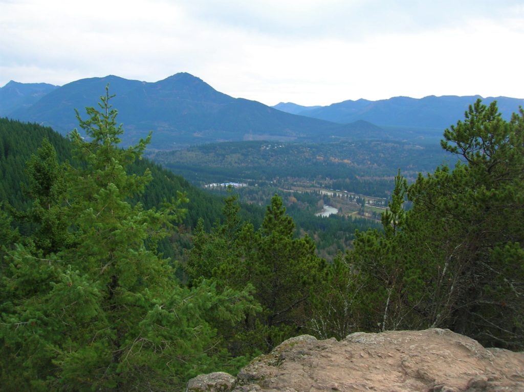
Quick Facts: Location: Snoqualmie Valley Land Agency: Washington DNR Roundtrip: 4.6 miles Elevation Gain: 1,100 feet Green Trails Map: Green Trails, Mount Si NRCA No. 206S Notes: Discover Pass Required; dogs must be leashed Contact: WA Department of Natural Resources, South Puget Sound Region (360) 825-1631; www.dnr.wa.gov Access: Take I-90 to exit 32 in North Bend…
Read MoreSkagit Wildlife Area—Headquarters Unit
Supreme birdwatching on the Skagit River Delta Quick Facts: Location: Fir Island, Skagit County Land Agency: Washington Department of Fish and Wildlife (WDFW) Round Trip: 1.9 miles of trails Elevation Gain: minimal Contact: Washington Department of Fish and Wildlife (WDFW) Detailed Information: Urban Trails Bellingham (Mountaineers Books) Notes: Discover Pass or WDFW Vehicle Access Pass…
Read MoreHole in the Wall–walk a wilderness beach to a big natural arch

Quick Facts: Location: Olympic Peninsula Coast Land Agency: Olympic National Park Roundtrip: 4.0 miles Green Trails Map: Olympic Beaches 99S Elevation Gain: None Contact: Olympic National Park Access: From Forks, drive west on SR 110 to Quillayute Prairie. Here SR 110 splits. Bear right (Mora Road), and drive 5.0 miles to the trailhead at road’s end.…
Read More