Posts Tagged ‘kid-friendly’
Soaring Eagle Regional Park- take a sleigh ride!
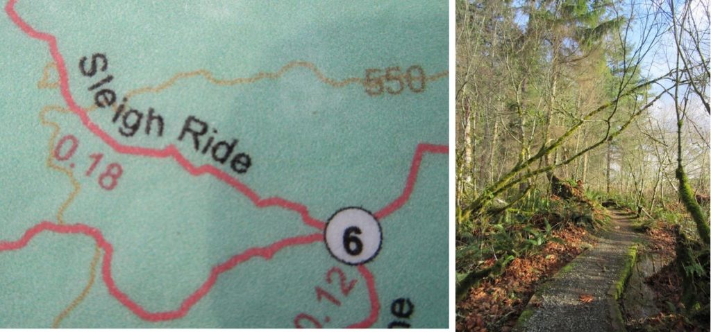
Quick Facts: Location: Sammamish Plateau Land Agency: King County Parks Distance: more than 12.0 miles of trails Elevation Gain: up to 325 feet Contact: King County Parks Notes: dogs permitted on leash; trails also open to horses and mountain bikes Map: Click Here Recommended Guidebook: Urban Trails Eastside (Mountaineers Books) Access: From Bellevue follow SR…
Read MoreDevil’s Butte–A Frightful name but delightful hike in Lord Hill Park
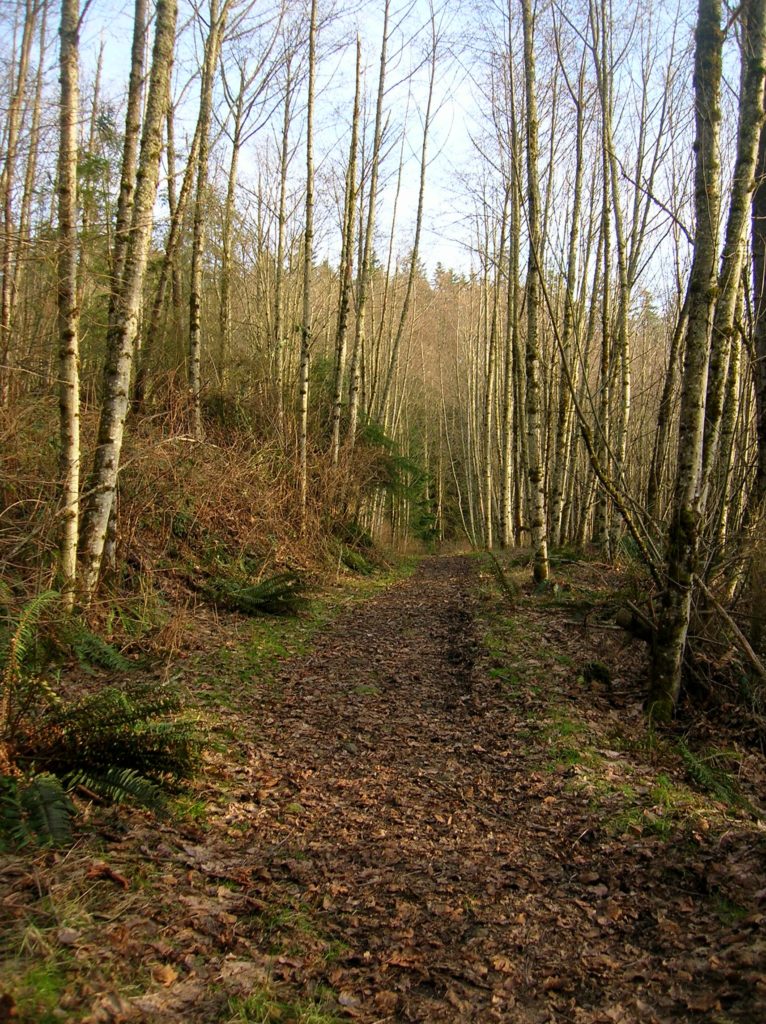
Quick Facts Location: Lord Hill Park near Snohomish Land Agency: Snohomish County Parks Roundtrip: 3.5 miles High Point: 650 feet Elevation gain: 400 feet Difficulty: moderate Contact: Snohomish County Parks Notes: Dogs must be on leash; trails open to bikes and horses Access: From the city of Snohomish, exit SR 9 onto 2nd Street. Proceed…
Read MoreMoulton Falls
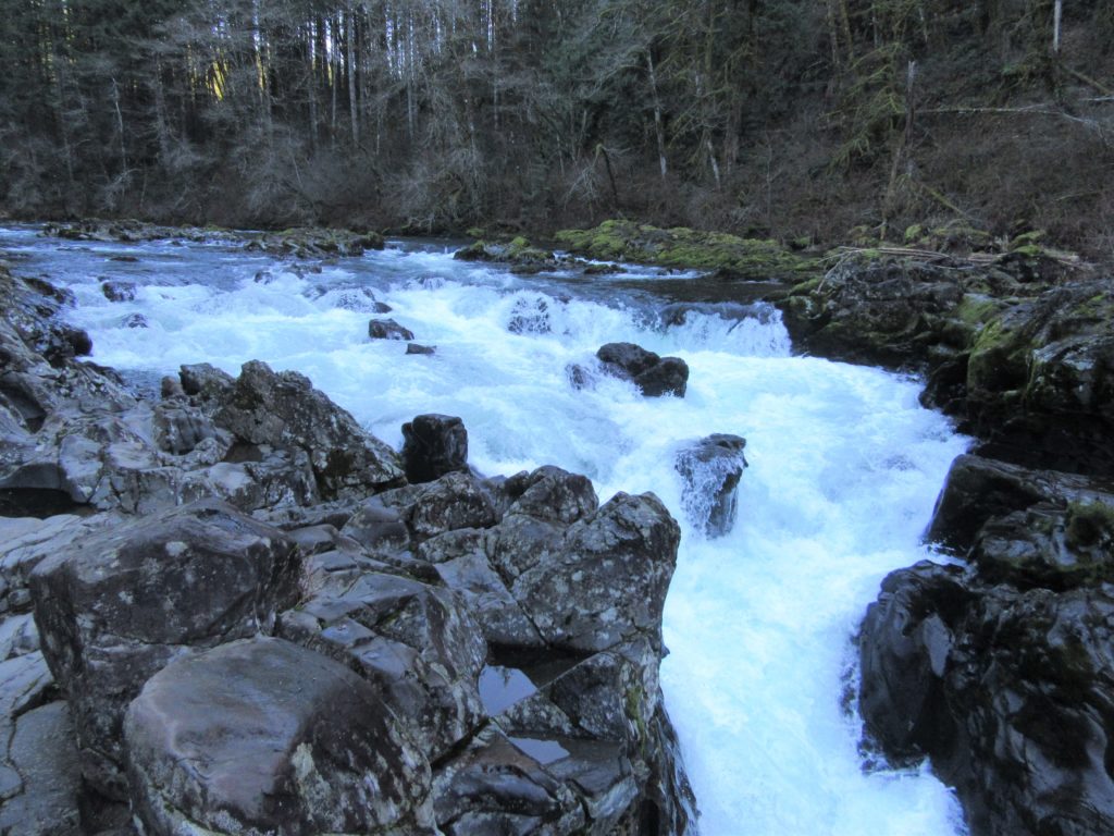
Walk along a wild river to an impressive set of rapids Quick Facts: Location: Clark County, WA Land Agency: Clark County Parks Roundtrip: 5.4 miles Elevation Gain: 200 feet Access: From Vancouver head north on I-5 to Exit 11 following SR 502 east for 6.0 miles to Battle Ground. Turn left onto SR 503 and…
Read MoreMargaret’s Way to Debbie’s View
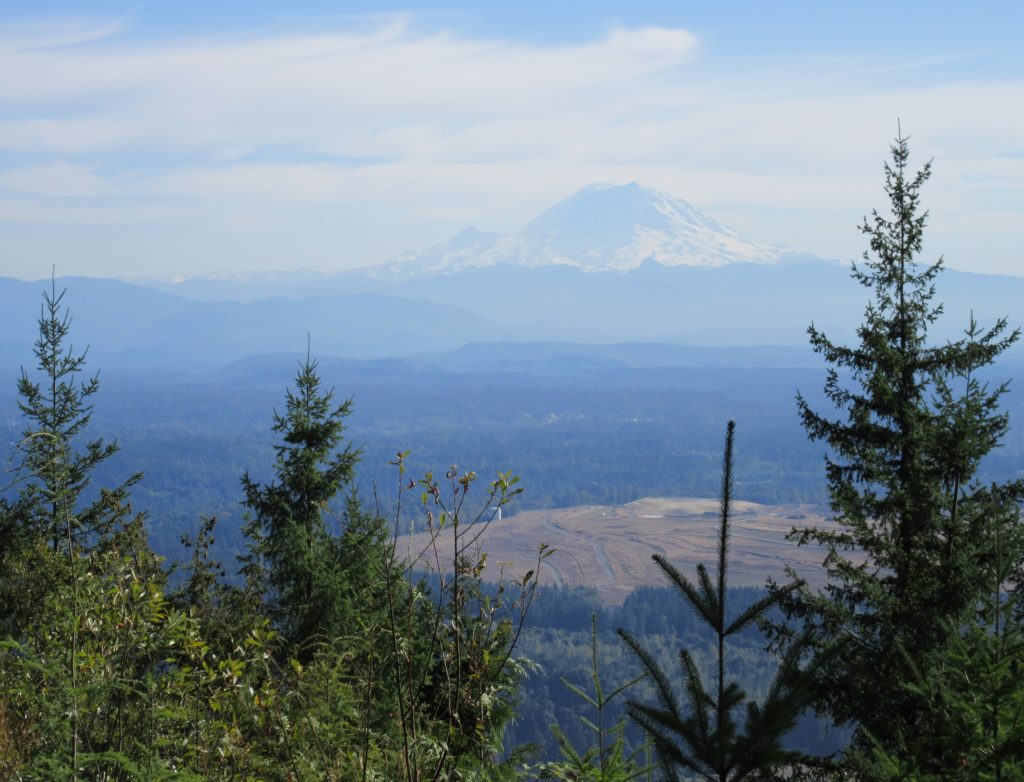
Excellent views on the quiet Issaquah Alp Quick Facts: Location: Squak Mountain, Issaquah Alps Land Agency: King County Parks, Washington State Parks Distance: 7.0 miles Elevation Gain: 1600 feet Contact: Squak Mountain State Park and King County Parks Green Trails Map: Green Trails Cougar Mtn/ Squak Mtn No. 203S Notes: dogs permitted on leash Recommended…
Read MoreCranberry Lake Trail—A sweet little hike on Camano Island
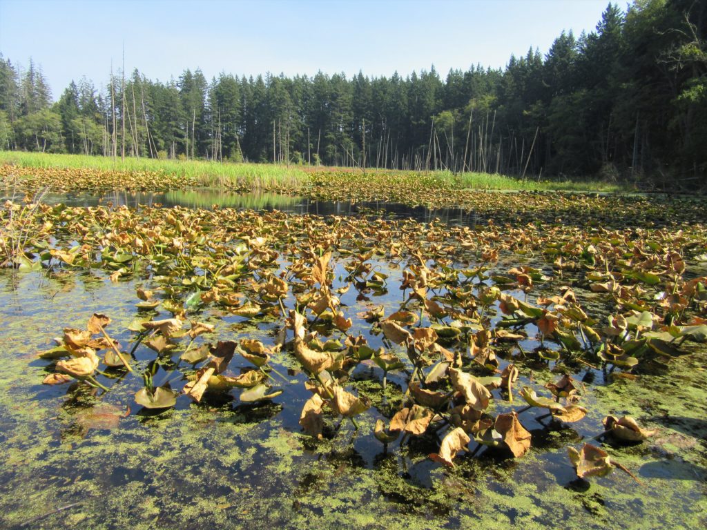
Quick Facts: Location: Camano Island Land Agency: Washington State Parks Roundtrip: 2.2 miles Elevation Gain: 125 feet Contact: Cama Beach State Park Notes: Discover Pass required; Dogs must be leashed Recommended Guidebook: Urban Trails Everett (Mountaineers Books) Access: From Exit 212 on I-5, travel west on SR 532 to Camano Island to a junction at 10.0 miles.…
Read MoreOsprey Trails — Saunter through wildlife habitat along the Sultan River
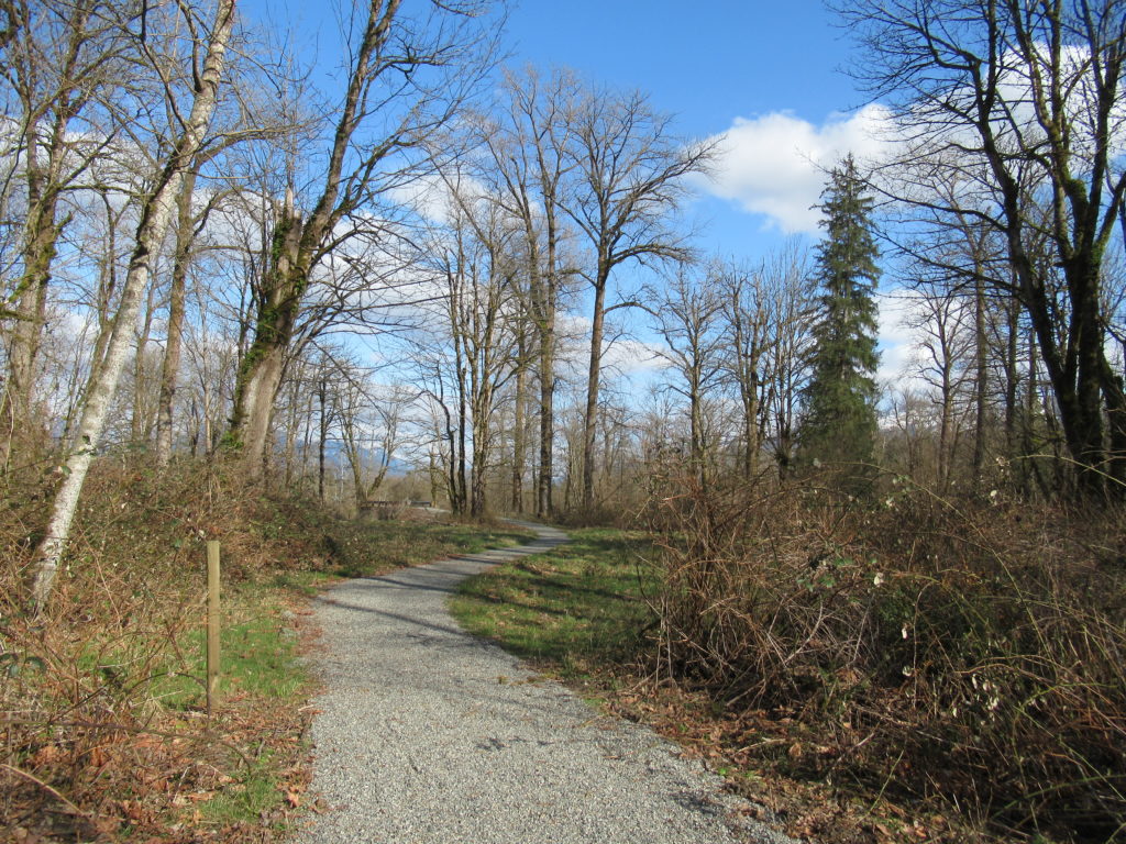
Quick Facts: Location: Sultan, Snohomish County Land Agency: City of Sultan Roundtrip: 2.0 miles Elevation Gain: level Access: From Everett, follow US 2 east to Sultan. Turn left onto 3rd Street and drive 0.6 mile north. Then turn left onto High Street and continue 0.1 mile to Osprey Park. Contact: City of Sultan Notes: Dogs permitted on leash Good to…
Read MoreThird Beach– First Rate and second to none!
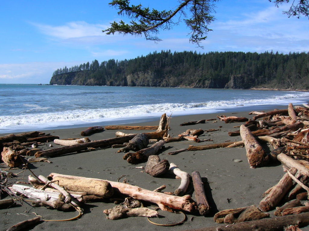
Quick Facts: Location: Olympic Coast near Forks Land Agency: National Park Service Roundtrip: 2.6 miles Elevation gain: 300 feet Contact: Olympic National Park Wilderness Information Center Green Trails Map: Olympic Beaches 99s Notes: Dogs Prohibited Recommended Guidebook: Day Hiking Olympic Peninsula 2nd edition (Mountaineers Books) Good to Know: kid-friendly, snow free winter hike; beach walking;…
Read MoreUpper Dungeness River─Take shelter from the rain under a magnificent old-growth canopy
Quick Facts: Location: Buckhorn Wilderness, Olympic National Forest Land Agency: National Forest Service Roundtrip: 7.0 miles Elevation Gain: 600 feet Green Trails Map: Olympic Mountains East 168SX Note: NW Forest Pass or Interagency Pass required Access: From US 101 turn south onto Louella Road (directly across from Sequim Bay State Park entrance). In one mile…
Read MoreHeather Lake─A Mountain Loop Favorite perfect for families and newbies
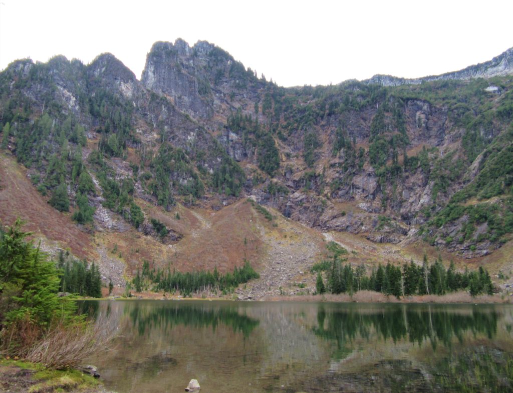
Quick Facts: Location: Mountain Loop Highway near Granite Falls Land Agency: Mount Baker-Snoqualmie National Forest Roundtrip: 5.0 miles Elevation Gain: 1,050 feet Notes: NW Forest Pass or Interagency Pass required. ‘Green Trails Map: Mountain Loop Highway 111SX Contact: Darrington Ranger District: Mount Baker Snoqualmie National Forest; www.fs.fed.us/r6/mbs More information: Day Hiking North Cascades 2nd edition…
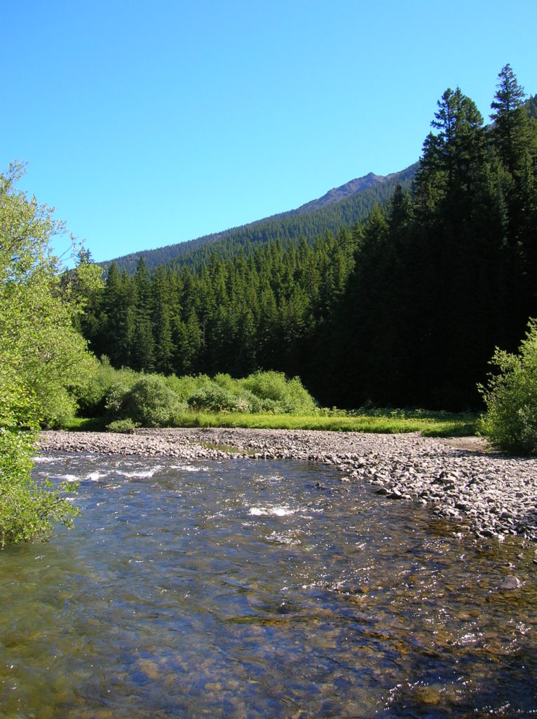
Read MoreThorp Mountain–Historic Lookout on Kachess Ridge
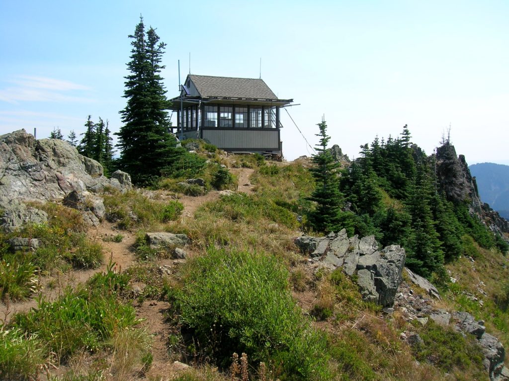
Location: Cle Elum River Valley near Salmon La Sac Land Agency: Okanogan-Wenatchee National Forest Roundtrip: 5.0 miles High Point: 5,854 feet Elevation gain: 1,700 feet Difficulty: moderate Green Trails Map: Kachess Lake – No. 208 Contact: Cle Elum Ranger District: Okanogan-Wenatchee National Forest (509) 852-1100 Note: FR 4308-120 is rough and brushy in spots. High…
Read More