Posts Tagged ‘kid-friendly’
Sugarloaf — Savor Sweet Salish Sea Views
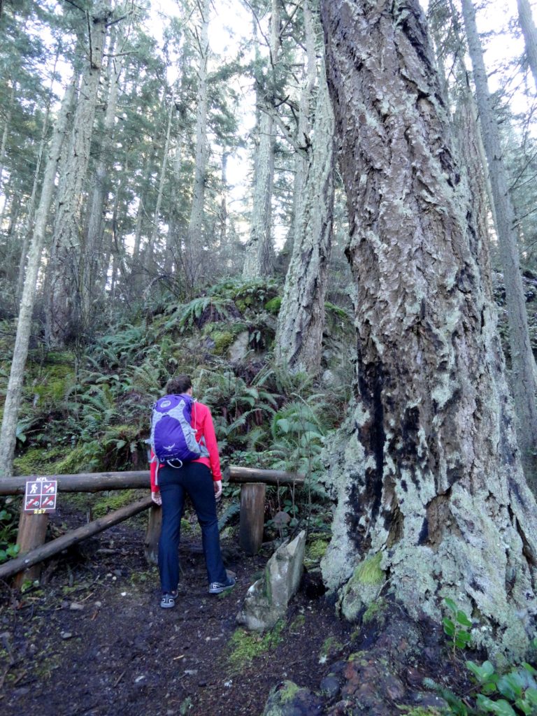
Quick Facts: Location: Anacortes, Fidalgo Island Land Agency: Anacortes Community Forest Lands Roundtrip: 2.5 miles Elevation gain: 650 feet Contact: Anacortes Parks and Recreation Notes: dogs permitted on leash; some trails open to bicycles, horses. Access: From Exit 230 on I-5 in Burlington, head west on SR 20 for 13.5 miles. Turn right onto…
Read MoreOaks Bottom Wildlife Refuge– Portland’s Premier Wildlife Refuge
Quick Facts: Location: Sellwood neighborhood, Portland, Oregon Land Agency: Portland Parks and Recreation Roundtrip: 2.8 miles Elevation gain: 60 feet Contact: Portland Parks and Recreation Notes: dogs must be leashed Access: From Ross Island Bridge follow US 26 east (Powell Boulevard) immediately turning right onto SR 99E (SE McLoughlin Boulevard). In just over one mile exit…
Read MoreScarborough Hill─Giant Sitka Spruces at historic fort on the Columbia River
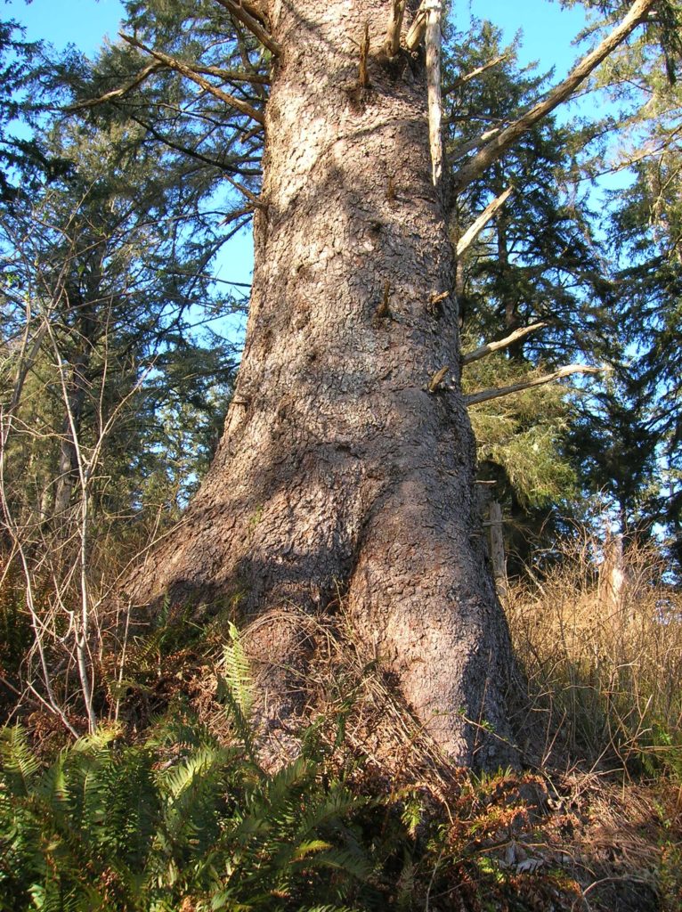
Quick Facts Location: Fort Columbia State Park, Pacific County, WA Land Agency: Washington State Parks Roundtrip: 2.4 miles Elevation Gain: 630 feet Access: From Kelso head west 56 miles on SR 4 to Naselle. Turn left onto SR 401 proceeding 12 miles to a junction with US 101 at the Astoria-Megler Bridge. Continue west on…
Read MoreFort Steilacoom Park — Hike historic grounds to a scenic lake and stellar views of Mount Rainier
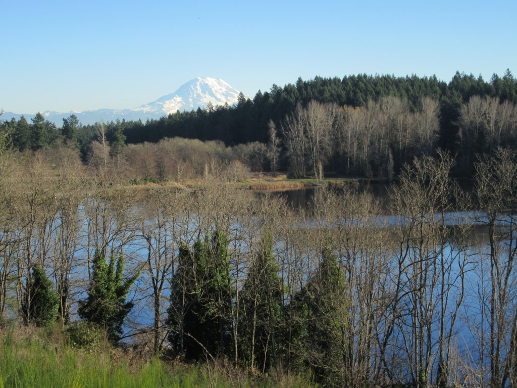
Quick Facts: Location: Lakewood, Pierce County Land Agency: City of Lakewood Parks and Recreation Distance: more than 7.0 miles of trails Elevation Gain: up to 200 feet Contact: City of Lakewood Parks and Recreation Notes: Off-leash dog area and dogs permitted on leash elsewhere in park; park opened 7:30 to 9:00 or Sunset (whichever comes…
Read MoreRanger Hole –Hike to a Historic fishing spot on the Duckabush

Quick Facts: Location: Olympic Peninsula Land Agency: Olympic National Forest Round Trip: 1.9 miles Elevation Gain: 250 feet Contact: Olympic National Forest, Hood Canal Ranger District, Green Trails Map: Green Trails Olympic Mountains East 168S Notes: Northwest Forest Pass required; Be sure to respect the privacy of any guests who may be staying in the…
Read MoreBoundary Bay Dyke Trail– Bundles of bald eagles, owls and shorebirds and breathtaking views of Mount Baker

Quick Facts: Location: BC Lower Mainland, Land Agency: Boundary Bay Wildlife Management Area One Way: 10.4 miles (16.7 kilometers) Elevation Gain: minimal Contact: Boundary Bay Wildlife Management Area Notes: trail also open to stock and bikes: dogs permitted on leash but note dogs not allowed on shoreline trail in Mud Bay Park from Oct 15-Apr…
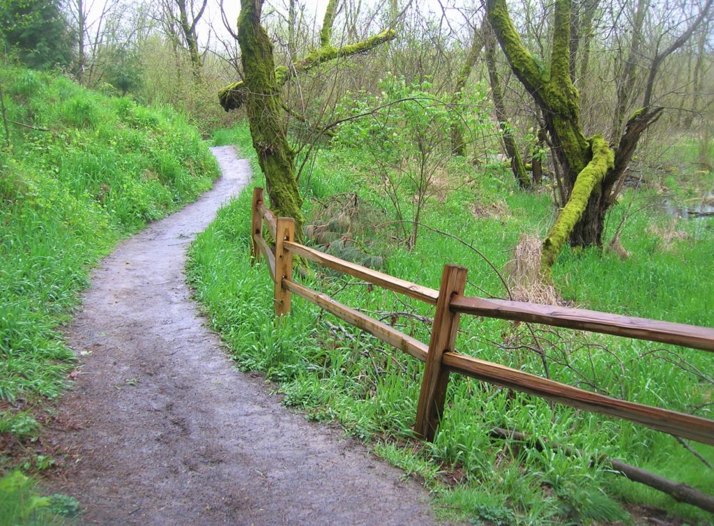
Read MoreRiver Trail (Blue Diamond Trail)–Easily accessible and little-known trail along White River
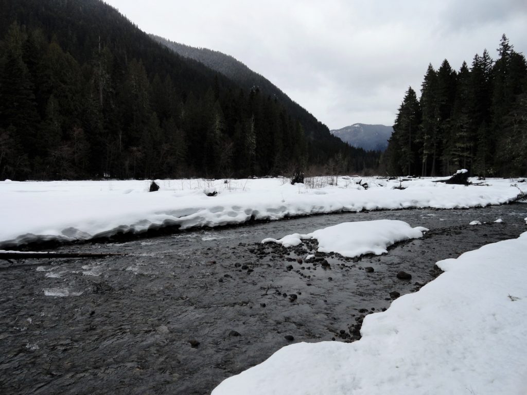
Quick Facts: Location: White River Valley Land Agency: Mount Baker-Snoqualmie National Forest Round Trip: 3.2 miles Elevation Gain: 100 feet Contact: Washington State Parks Sno-Parks Green Trails Map: Mount Rainier 269SX Notes: Sno-Park Pass required; Dogs allowed on leash Access: From Enumclaw follow SR 410 for 33 miles turning left (just before Mount Rainier National…
Read MoreBrowns Point -Kalaloch–Kid and dog friendly hike on the wild Olympic Coast
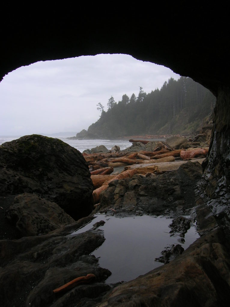
Location: Olympic National Park coast Land Agency: National Park Service Roundtrip: 4.0 miles Elevation gain: 50 feet Contact: Olympic National Park Wilderness Information Center Green Trails Map: Olympic Coast 99S Recommended Resource: Day Hiking Olympic Peninsula 2ed (Mountaineers Books) Notes: Dogs must be leashed; Browns Point can only be rounded during low tides; Practice Leave No…
Read MoreSquak Mountain East Ridge– discover the quiet Issaquah Alp
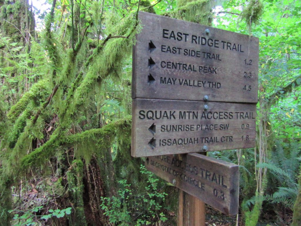
Quick Facts: Location: Issaquah Alps Land Agency: Washington State Parks Roundtrip: 8.0 miles Elevation Gain: 2000 feet Green Trails Map: Cougar Mountain/ Squak Mountain No. 203S Contact: Washington State Parks and Mountains to Sound Greenway Recommended Resource: Urban Trails Eastside Notes: Dogs must be leashed. Good to Know: snow-free winter hike, trail less taken, dog-friendly (on-leash), kid-friendly,…
Read MoreFort Casey Historical State Park — Frolic through a fort, to a lighthouse, and on a pretty beach
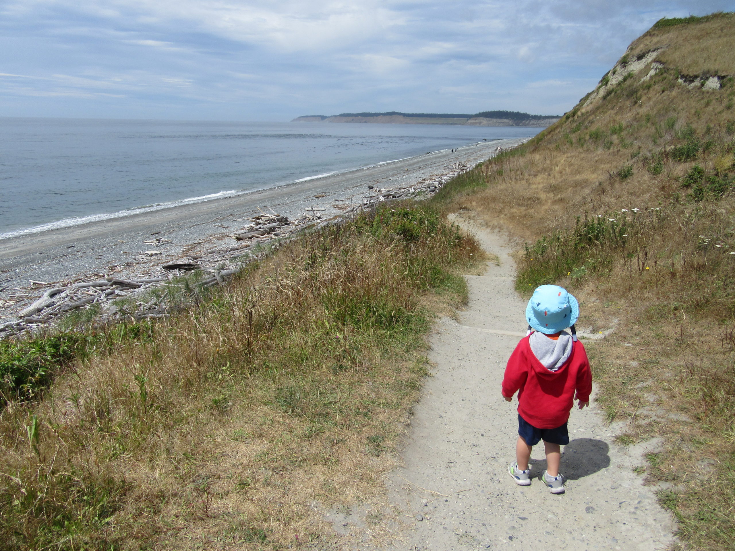
Quick Facts: Location: Whidbey Island Land Agency: Washington State Parks Round Trip: 1.8 miles of trails Elevation Gain: up to 90 feet Contact: Washington State Parks Recommended Resource: Urban Trails Everett (Mountaineers Books) Notes: Discover Pass required; Dogs allowed on leash Access: From Mukilteo take ferry to Clinton on Whidbey Island. Then continue north on…
Read More