Posts Tagged ‘kid-friendly’
Cutthroat Pass — Shiny granite, golden larches and splendid vistas
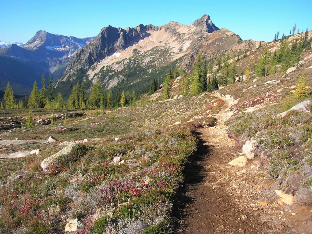
Quick Facts: Location: North Cascades Highway Land Agency: Okanogan-Wenatchee National Forest Round Trip: 10.0 miles Elevation Gain: 1850 feet Contact: Okanogan-Wenatchee National Forest, Methow Valley Ranger District, Green Trails Map: Washington Pass No. 50 Recommended Guidebook: Day Hiking North Cascades 2nd edition (Mountaineers Books) Notes: NW Forest Pass or Interagency Pass required. Access: From Marblemount,…
Read MoreTwisp Pass─Golden larches, fire-red meadows and sublime North Cascades views
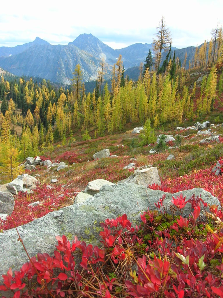
Quick Facts Location: Twisp River Valley-North Cascades Land Agency: US Forest Service and National Park Service Roundtrip: 9.2 miles Elevation Gain: 2,460 feet Green Trails Map: Stehekin, WA – No 82 Recommended Guidebook: Day Hiking North Cascades (Romano) Contact: Methow Valley Ranger District: Okanogan-Wenatchee National Forest Notes: Northwest Forest Pass required. Dogs prohibited beyond Twisp…
Read MoreCora Lake– Emerald lake cradled beneath craggy High Rock
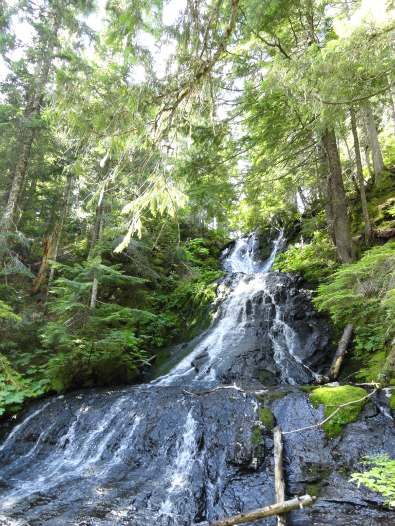
Quick Facts: Location: Nisqually River Valley Land Agency: National Forest Service Roundtrip: 1.4 miles Elevation Gain: 400 feet Contact: Gifford Pinchot National Forest Green Trails Map: Randle, WA no. 301 Notes: no pass needed; creek crossing might be challenging early in the season; trail is open to mountain and motor bikes Access: From Elbe, follow SR 706 east…
Read MoreColdwater Lake– Saunter through a healing landscape exploding with wildflowers!
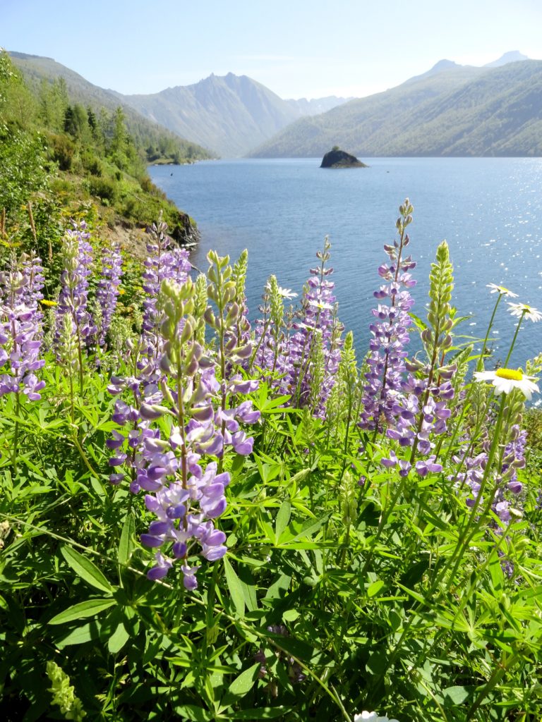
Quick Facts: Location: Mount St. Helens National Volcanic Monument Land Agency: US Forest Service Roundtrip: 9.0 miles Elevation Gain: 550 feet Contact: Mount St Helens National Volcanic Monument Green Trails Map: Green Trails Mount St Helens 332S Notes: Northwest Forest Pass (or interagency pass) required; No dogs; Trail open to bikes: Off trail travel prohibited Access: From Castle Rock…
Read MoreBunker Hill─No battling for solitude along this hike

Quick Facts Location: Wind River Valley Land Agency: Gifford Pinchot National Forest Roundtrip: 4.4 miles Elevation Gain: 1,250 feet Green trails Map: Green Trails Wind River No. 397 Recommended Guidebook: Day Hiking Columbia River Gorge (Craig Romano) Access: From Stevenson, head east on SR 14 for 3.0 miles turning left onto Wind River Road. Then…
Read MorePatterson Mountain — Bitterroot and Balsamroot and a bevy of other blossoms
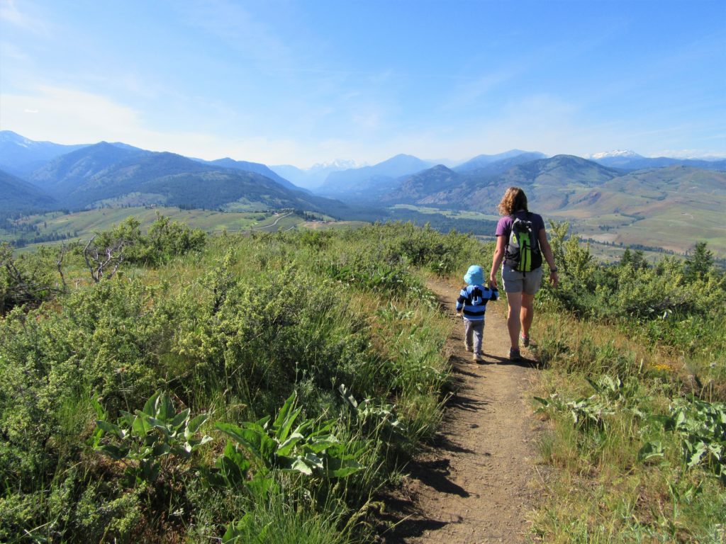
Quick Facts: Location: Methow Valley Land Agency: WA Department of Natural Resources Roundtrip: 3.7 miles Elevation Gain: 1,100 feet Contact: WA Department of Natural Resources Green Trails Map: Sun Mountain, WA- No.83S Notes: Discover Pass Required Access: From Winthrop head east on SR 20 for .6 mile immediately turning right onto Twin lakes Road. Follow for 3.0 miles turning right…
Read MoreCloverdale Farm -Explore this future park on the Stilly
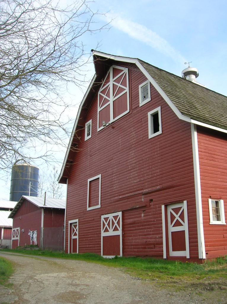
Quick Facts: Location: North Fork Stillaguamish River Valley near Arlington Land Agency: Snohomish County Parks Roundtrip: 4.5 miles Elevation gain: 50 feet Difficulty: easy Contact: Snohomish County Parks Notes: Dogs permitted on leash. All farm buildings are closed to public. Access: From Exit 208 on I-5 head east on SR 530 for 4.0 miles to Arlington. Continue east on SR 530 for…
Read MorePreston-Snoqualmie Trail — Overlooked rail trail between Snoqualmie Falls and Tiger Mountain
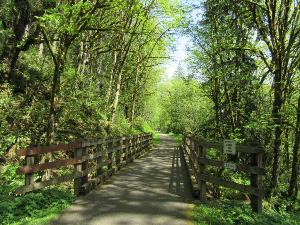
Quick Facts: Location: Preston and Snoqualmie Land Agency: King County Parks Distance: 11.0 miles roundtrip Elevation Gain: 500 feet Contact: King County Parks Notes: dogs on leash Access: From Seattle follow I-90 east to Exit 22. Then turn left on SE 82nd Street, cross freeway and turn right onto SE High Point Way. Drive 0.4…
Read MoreBeaver Lake Loop–wetland wonderland on Lord Hill
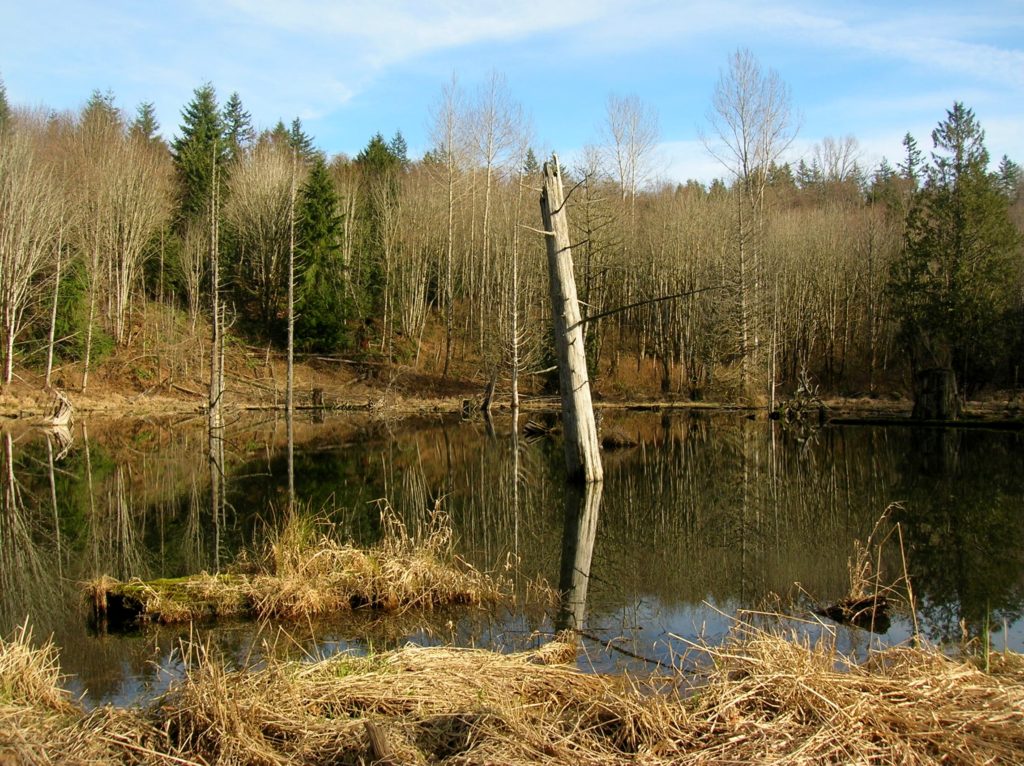
Location: Lord Hill Park near Snohomish Land Agency: Snohomish County Parks Roundtrip: 2.2 miles High Point: 650 feet Elevation gain: 200 feet Difficulty: easy Contact: Snohomish County Parks Notes: Dogs must be on leash; Map available online Access: From Everett, head east on US 2 for 8.0 miles and take 88th Street SE Exit. Turn right…
Read MoreLowell Riverfront Trail—Out of industrial ashes a riverside trail and park are born
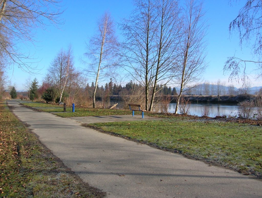
Quick Facts: Location: Lowell neighborhood, city of Everett Land Agency: Everett Parks and Recreation Contact: Everett Parks and Recreation Department Roundtrip: 4.0 miles Elevation Gain: None Access: From Exit 192 on I-5 in Everett head east on 41st Street. Turn right (south) onto 3rd Ave and proceed for 1.2 miles to four-way stop. Turn left onto…
Read More