Posts Tagged ‘kid-friendly’
Squak Mountain East Ridge– discover the quiet Issaquah Alp
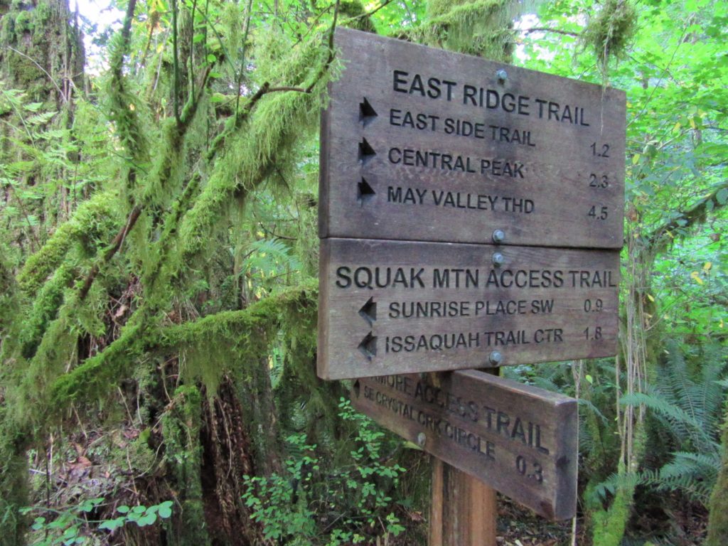
Quick Facts: Location: Issaquah Alps Land Agency: Washington State Parks Roundtrip: 8.0 miles Elevation Gain: 2000 feet Green Trails Map: Cougar Mountain/ Squak Mountain No. 203S Contact: Washington State Parks and Mountains to Sound Greenway Recommended Resource: Urban Trails Eastside Notes: Dogs must be leashed. Good to Know: snow-free winter hike, trail less taken, dog-friendly (on-leash), kid-friendly,…
Read MoreFort Casey Historical State Park — Frolic through a fort, to a lighthouse, and on a pretty beach
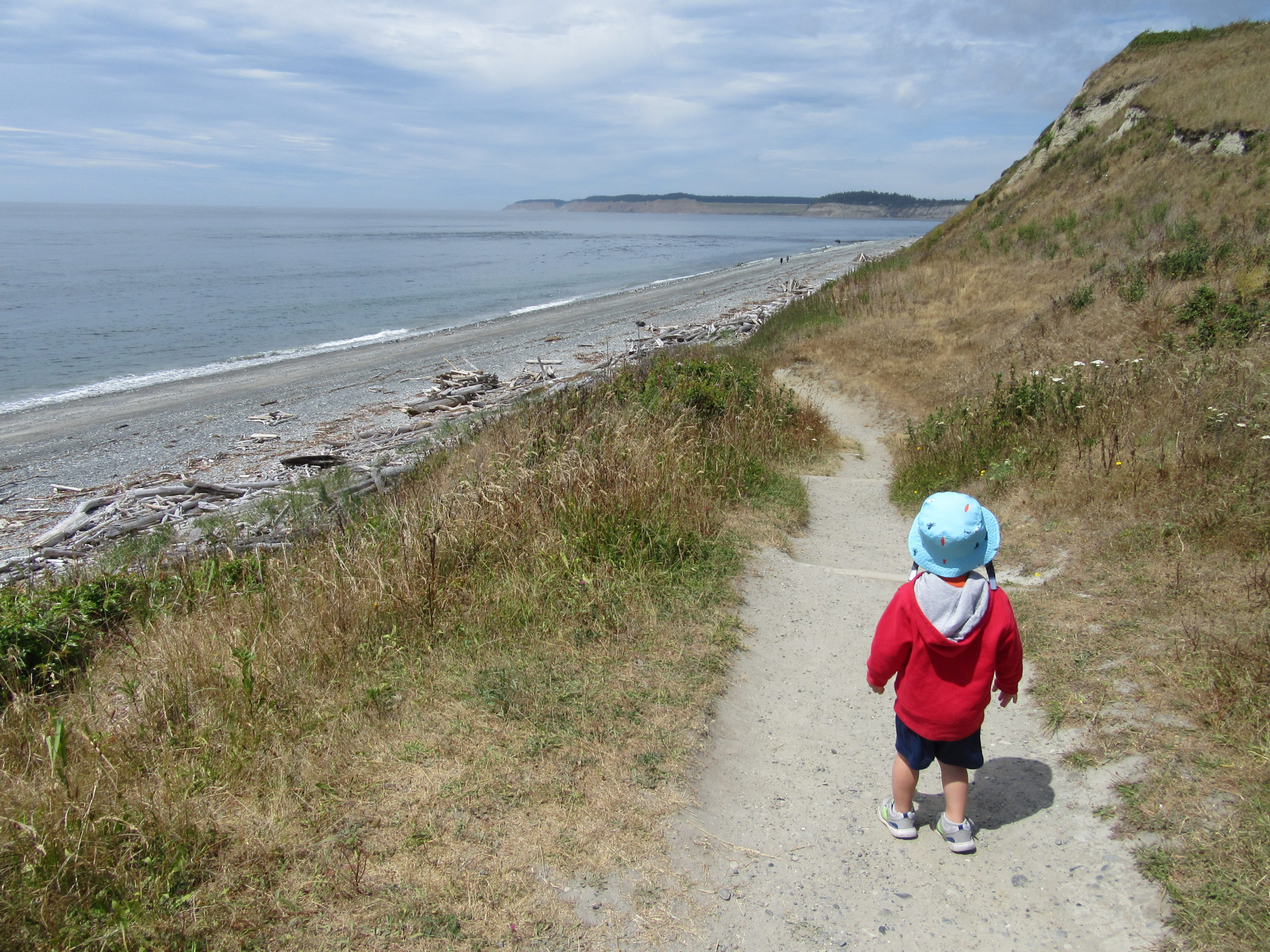
Quick Facts: Location: Whidbey Island Land Agency: Washington State Parks Round Trip: 1.8 miles of trails Elevation Gain: up to 90 feet Contact: Washington State Parks Recommended Resource: Urban Trails Everett (Mountaineers Books) Notes: Discover Pass required; Dogs allowed on leash Access: From Mukilteo take ferry to Clinton on Whidbey Island. Then continue north on…
Read MoreCatherine Creek Rock Arch–A touch of Utah in the Northwest!
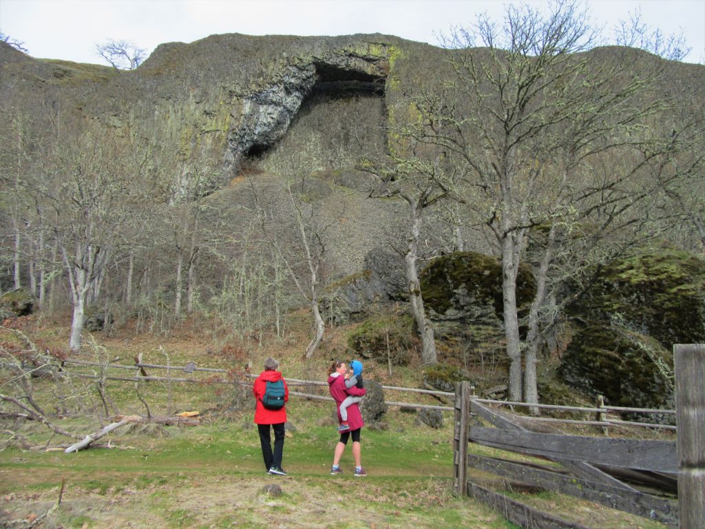
Location: Columbia River Gorge National Scenic Area Land Agency: Columbia Gorge National Scenic Area Roundtrip: 2.3 miles Elevation gain: 370 feet Difficulty: Easy Contact: Columbia Gorge National Scenic Area Notes: Dogs permitted on leash. Be aware or ticks and poison oak. Green Trails Map: Columbia River Gorge East No. 432S Good to Know: kid-friendly, dog-friendly…
Read MoreGreenbank Farm–Plow through an array of family and dog friendly trails
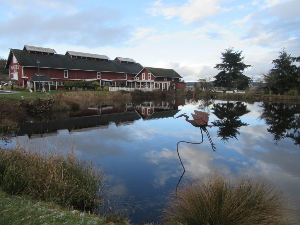
Quick Facts: Location: Whidbey Island Land Agency: Port of Coupeville Roundtrip: more than 4.0 miles of trails High Point: 300 feet Elevation gain: up to 280 feet Contact: Port of Coupeville Recommended Resource: Urban Trails Everett (Mountaineers Books) Notes: Some trails are open to equestrians; some trails are in an off-leash dog area Access: From Clinton Ferry Terminal on Whidbey…
Read MoreGreen River Natural Area–Explore this Sprawling Greenbelt between Auburn and Enumclaw
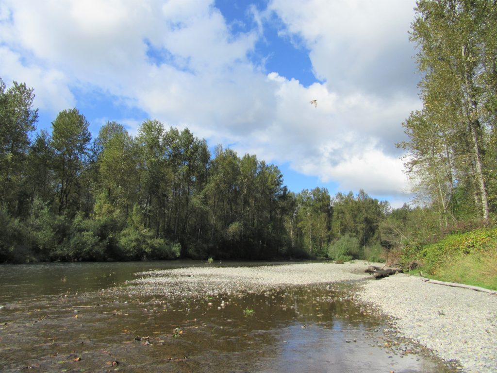
Quick Facts: Location: South King County Land Agency: King County Parks Round Trip: more than 7 miles of trails Elevation Gain: up to 650 feet Contact: King County Parks Recommended Resource: Urban Trails Tacoma (Mountaineers Books) Notes: Dogs allowed on leash Access: From SR 18 in Auburn the exit for SR 164 (Auburn Way S)…
Read MoreMount Spokane–Savor spectacular views from this prominent peak above Washington’s second city
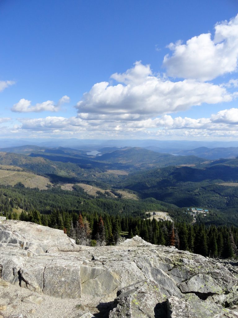
Location: Mount Spokane State Park Land Agency: Washington State Parks Roundtrip: 6.0 miles High Point: 5,883 feet Elevation gain: 1,000 feet Difficulty: moderate Map: Mount Spokane State Park (Dharma Maps) Contact: Washington State Parks Note: Discover Pass Required; dogs permitted on leash Access: From Spokane, follow US 2 north 10 miles to Mead. Turn right…
Read MoreLake West and Lake Helen – Seldom visited lakes within the shadows of Mount Rainier
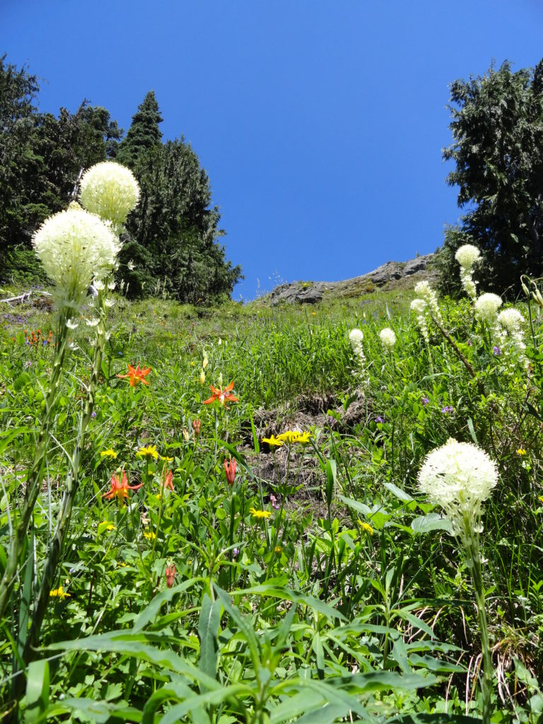
Quick Facts: Location: Glacier View Wilderness Land Agency: Gifford Pinchot National Forest Roundtrip: 8.4 miles Elevation gain: 1,600 feet Green Trails Map: Mount Rainier West, WA no. 269 Contact: Cowlitz Valley Ranger Station (Randle), Gifford Pinchot National Forest Notes: FR 59 is rough in spots but is passable for passenger cars. Wilderness regulations apply. Free…
Read MoreSkyline Divide — A mile high carpet of wildflowers
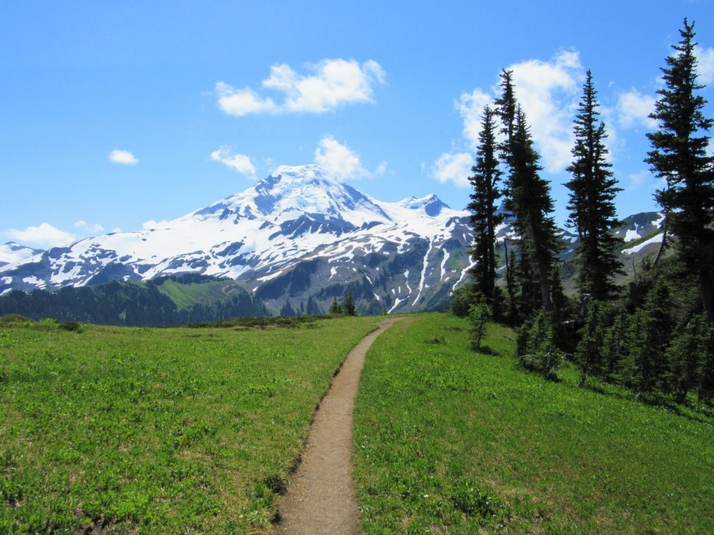
Quick Facts: Location: Mount Baker Highway, North Cascades Land Agency: National Forest Service Roundtrip: 9.0 miles Elevation gain: 2500 feet Difficulty: moderate Green Trails Map: Mount Baker Wilderness 13S Contact: Mount Baker Ranger District: Mount Baker -Snoqualmie National Forest Access: From Bellingham follow SR 542 (Mount Baker Highway) east for 35 miles turning right onto…
Read MoreSilver Falls Loop– Thundering Waterfall at Rainier’s Ohanapecosh
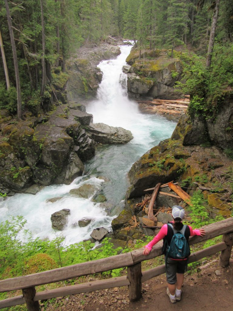
Quick Facts: Location: Ohanapecosh Land Agency: Mount Rainier National Park Roundtrip: 2.7 miles Elevation Gain: 350 feet Contact: Mount Rainier National Park Detailed Information: Day Hiking Mount Rainier (Mountaineers Books) Green Trails Map: Mount Rainier National Park 269S Notes: National Park Entrance Fee or Interagency Pass required; dog prohibited Access: From Packwood, follow US 12 east for 7.5…
Read MoreCowiche Mountain– Explore Snow Mountain Ranch’s flowery mountain
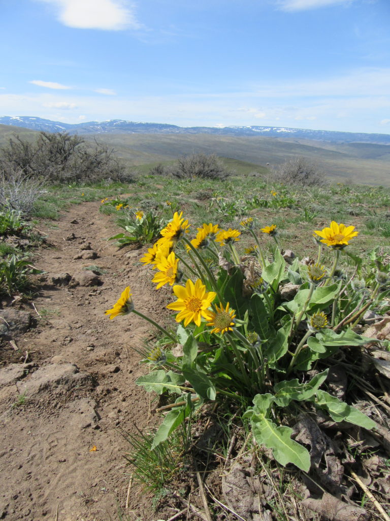
Quick Facts: Location: Snow Mountain Ranch, Yakima County, WA Land Agency: Cowiche Canyon Conservancy Roundtrip: 6.2 miles Elevation Gain: 1,250 feet Contact: Cowiche Canyon Conservancy Notes: Dog must be leashed Access: Follow I-90 east to I-82. Continue east on I-82 and take Exit 31A onto US 12. Then head west and take the exit for N 40th Ave.…
Read More