Posts Tagged ‘kid-friendly’
Cranberry Lake Trail—A sweet little hike on Camano Island
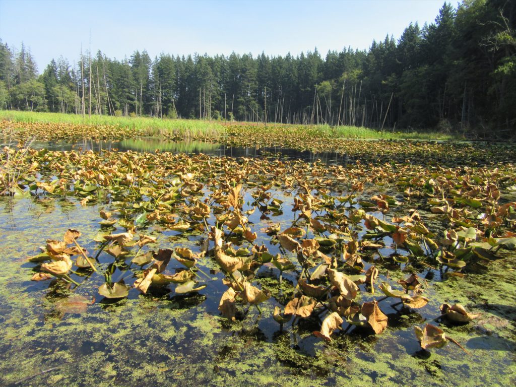
Quick Facts: Location: Camano Island Land Agency: Washington State Parks Roundtrip: 2.2 miles Elevation Gain: 125 feet Contact: Cama Beach State Park Notes: Discover Pass required; Dogs must be leashed Recommended Guidebook: Urban Trails Everett (Mountaineers Books) Access: From Exit 212 on I-5, travel west on SR 532 to Camano Island to a junction at 10.0 miles.…
Read MoreLangus Waterfront Trail
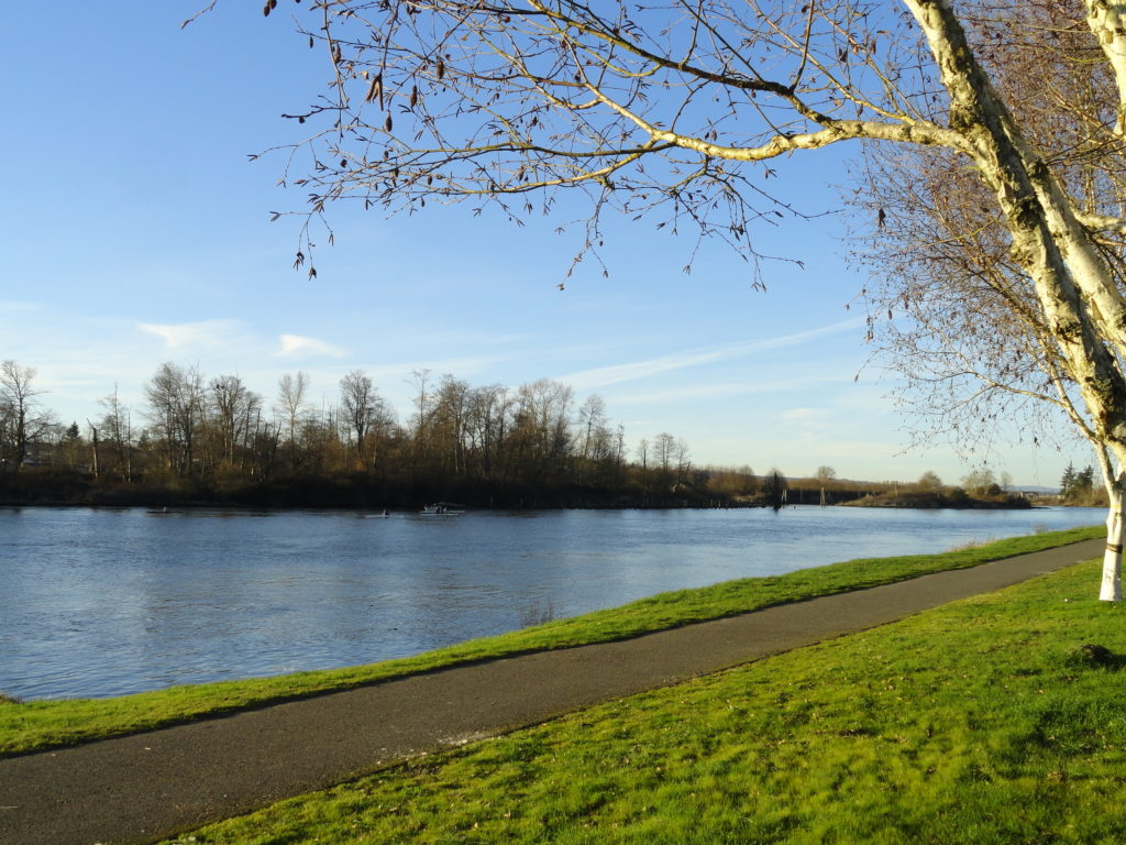
A slough of surprises await just minutes from downtown Everett Quick Facts: Location: City of Everett Land Agency: Everett Parks and Recreation Department Roundtrip: 4.0 miles Elevation Gain: None Access: From Everett, take Exit 195 off of I-5 turning left onto East Grand Ave. In 0.5 mile bear right onto East Marine View Drive and follow…
Read MoreSultan River Canyon Trail
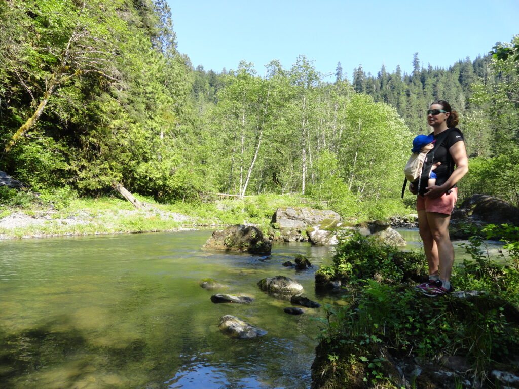
A near yet remote canyon housing big trees and a wild stretch of river Quick Facts: Location: Sultan Basin Land Agency: Snohomish County Public Utility District Roundtrip: 4.4 miles Elevation Gain: 850 feet Green Trails Map: Mountain Loop Highway 111SX Access: From Everett follow US 2 east to Sultan. At a traffic light just past Milepost 23 turn left onto…
Read MoreLake Twentytwo─waterfalls, big cedars and a beautiful lake beneath Mount Pilchuck
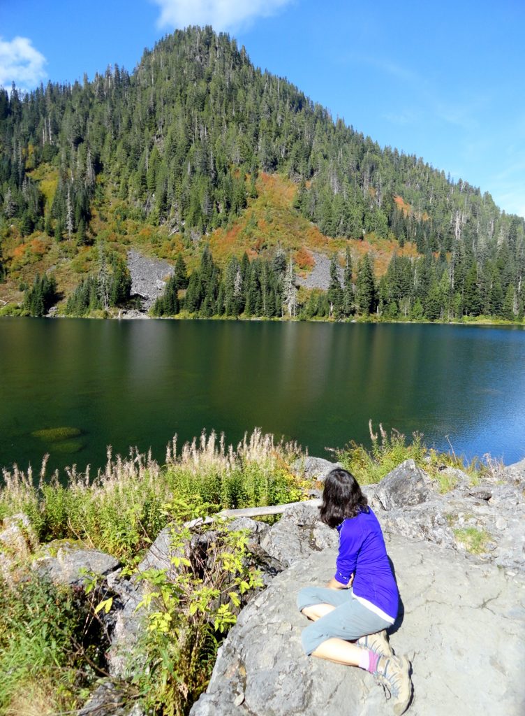
Quick Facts Location: Mountain Loop Highway near Granite Falls Land Agency: Mount Baker-Snoqualmie National Forest Roundtrip: 5.4 miles Elevation Gain: 1,350 feet Green Trails Map: Mountain Loop Highway 111SX Notes: NW Forest Pass required; dogs permitted on leash; trail can get busy, practice Leave No Trace ethics and consider visiting on a weekday. Access: From…
Read MoreSuiattle River– A wild river and majestic primeval forest within the shadows of Glacier Peak
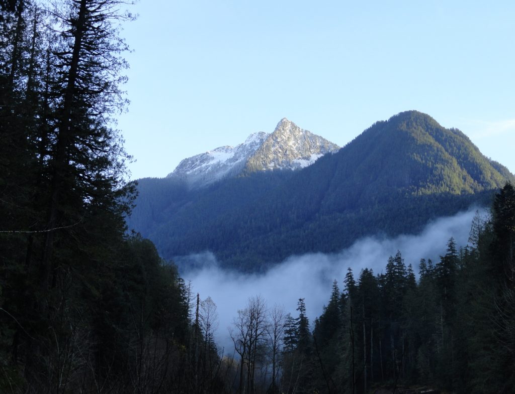
Quick Facts: Location: Suiattle River Road Land Agency: Mount Baker-Snoqualmie National Forest Roundtrip: 13.0 miles Elevation gain: 1,000 feet Green Trails Maps: Mountain Loop Highway no. 111SX Contact: Darrington Ranger District: Mount Baker-Snoqualmie National Forest Notes: Northwest Forest Pass or interagency pass required Access: From Darrington travel north on SR 530 for 7.5 miles turning…
Read MoreLake Valhalla– No slain souls here-just renewed ones
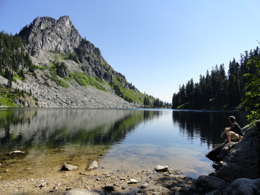
Quick Facts: Location: Henry M Jackson Wilderness, Stevens Pass area Land Agency: Okanogan-Wenatchee National Forest Roundtrip: 11.6 miles Elevation gain: 1,850 feet Difficulty: moderate Green Trails Map: Alpine Lakes-Stevens Pass No. 176S Contact: Wenatchee River Ranger District (Leavenworth): Okanogan-Wenatchee National Forest Access: From Everett, head east on US 2 for 65 miles to Stevens Pass.…
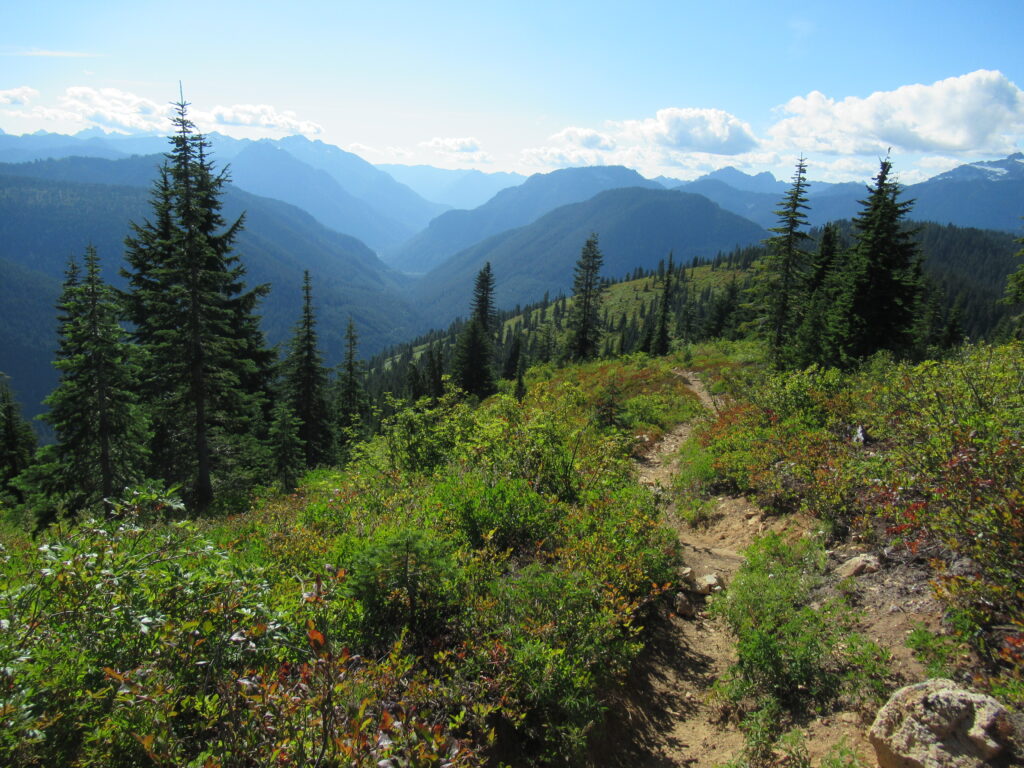
Read MoreGrand Valley–Aptly named valley has it all; lakes, meadows, and fantastic alpine scenery

Quick Facts: Location: Obstruction Point (Hurricane Ridge) Land Agency: National Park Service Roundtrip: 9.8 miles Elevation gain: 2,400 feet Contact: Olympic National Park Wilderness Information Center Green Trails Map: Elwha North/Hurricane Ridge-No. 134S Notes: Dogs prohibited; National Park Entry Fee required Access: From Port Angeles follow the Hurricane Ridge Road (Heart O the Hills Parkway)…
Read MoreWest Cady Ridge—from wildflowers to autumn colors
Quick Facts: Location: Wild Sky and Henry Jackson Wildernesses, North Fork Skykomish River Valley Land Agency: National Forest Service Roundtrip: 8.0 miles Elevation Gain: 2,300 feet Green Trails Map: Monte Cristo, WA- No. 143 Recommended source: Day Hiking Central Cascades 2nd edition (Mountaineers Books) Contact: Skykomish Ranger District: Mount Baker Snoqualmie National Forest Notes: Northwest…
Read MoreMount Seymour — See more of the BC Lower Mainland from this classic peak
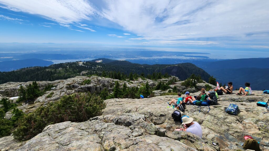
Quick Facts: Location: North Shore Mountains, North Vancouver, BC Distance: 8.4 km (5.2 miles) roundtrip Elevation Gain: 540 m (1772 feet) Contact: Mount Seymour Provincial Park Recommended Guidebook: Urban Trails Vancouver, BC (Mountaineers Books) Notes: Trail to Mount Seymour is snow free from July through October. Other trails in park outside of ski area are…
Read MoreEvergreen Mountain—short and easy hike in the Wild Sky

Quick Facts: Location: Wild Sky Wilderness near Skykomish River Valley Land Agency: National Forest Service Roundtrip: 3.0 miles Elevation Gain: 1,400 feet Access: From Everett head east on US 2 for 50 miles (just past Skykomish) turning left onto Beckler River Road (FR 65). Continue 12.6 miles to a five-way junction at Jack Pass. Take…
Read More