Posts Tagged ‘Mount Baker Snoqualmie National Forest’
Crystal Lake─ a trail less taken if you take the old way
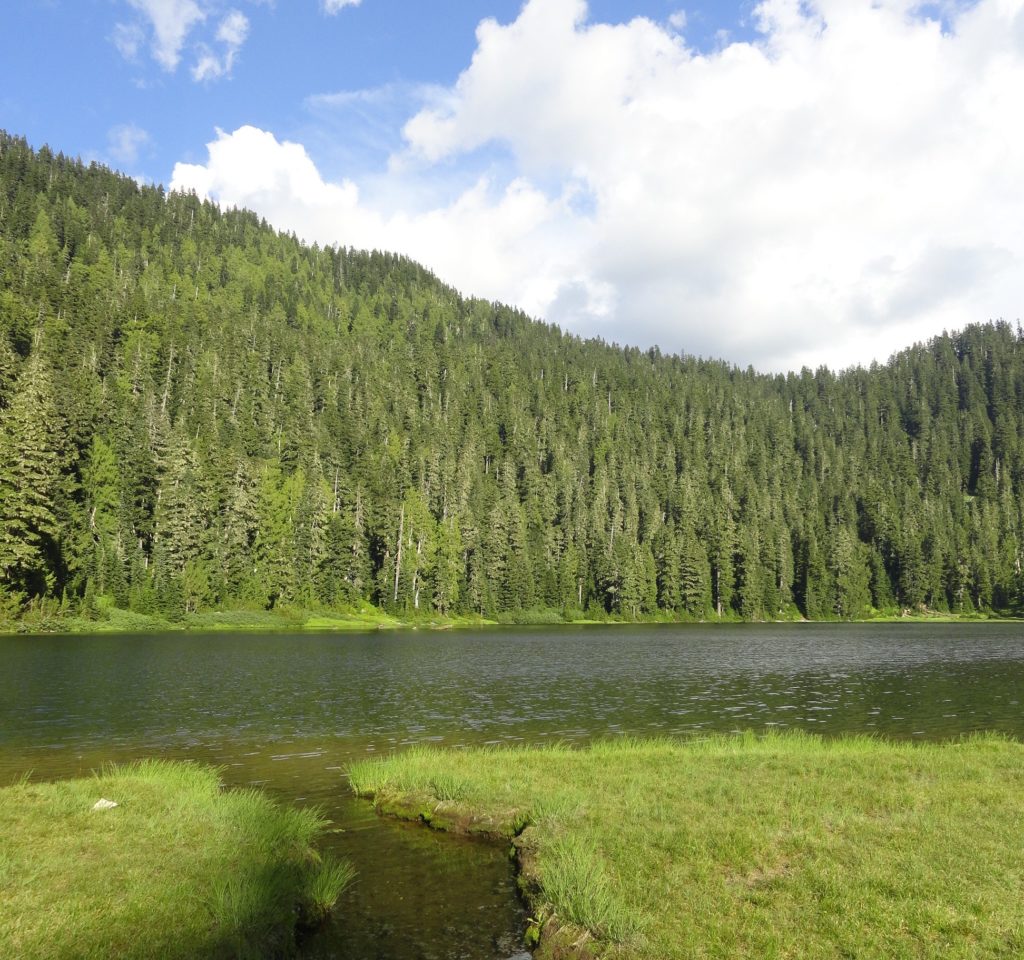
Quick Facts: Location: White Chuck River Valley, Mountain Loop Highway Land Agency: National Forest Service Roundtrip: 9.0 miles Elevation Gain: 2,150 feet Green Trails Map: Mountain Loop Highway 111SX Access: Take Exit 208 off of I-5 following SR 530 east for 32 miles to Darrington. Then head south on the Mountain Loop Highway proceeding 9.0…
Read MorePeek-a-boo Lake — peaceful little lake and peek-a-boo mountain views
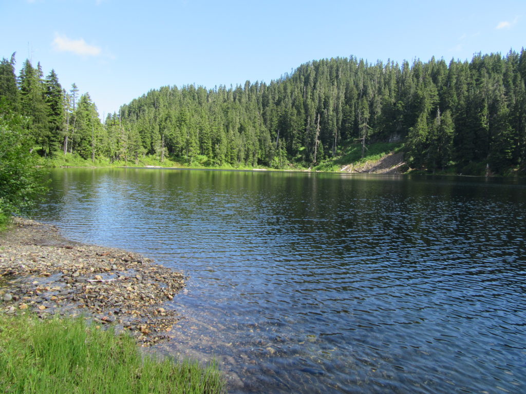
Quick Facts: Location: Mountain Loop Highway near Darrington Land Agency: Mount Baker-Snoqualmie National Forest Roundtrip: 5.0 miles Elevation gain: 1600 feet Green Trails Maps: Mountain Loop Highway 111 SX Contact: Mount Baker-Snoqualmie National Forest, Darrington Ranger District Notes: Access road is rough and brushy in spots. High clearance necessary. Access: From Darrington follow the Mountain Loop…
Read MoreBenchmark Mountain–The meadows here measure up among the best
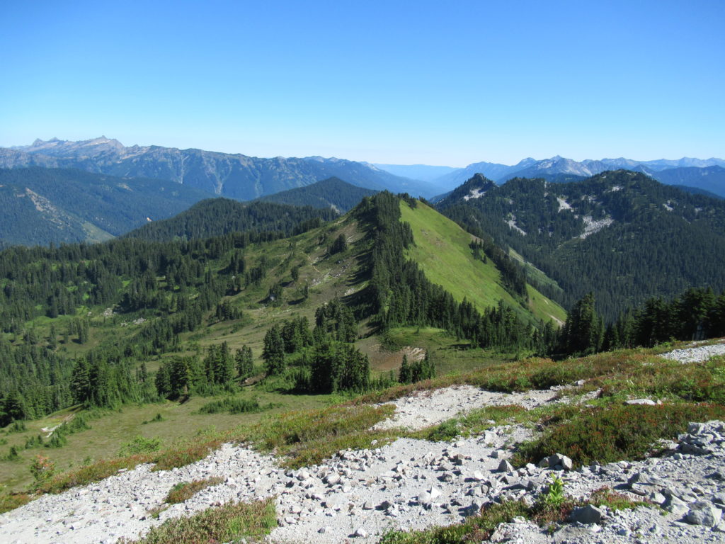
Quick Facts: Location: North Fork Skykomish River Valley Land Agency: Mount Baker-Snoqualmie National Forest Roundtrip: 14.2 miles High Point: 5,816 feet Elevation gain: 3,700 feet Green Trails Maps: Monte Cristo, WA-No. 143, Benchmark MT- No. 144 Contact: Skykomish Ranger District: Mount Baker-Snoqualmie National Forest Note: Northwest Forest or Interagency Pass Required Access: From Everett head…
Read MoreGoat Falls –“Kid-friendly” snowshoe trip near Mount Rainier National Park
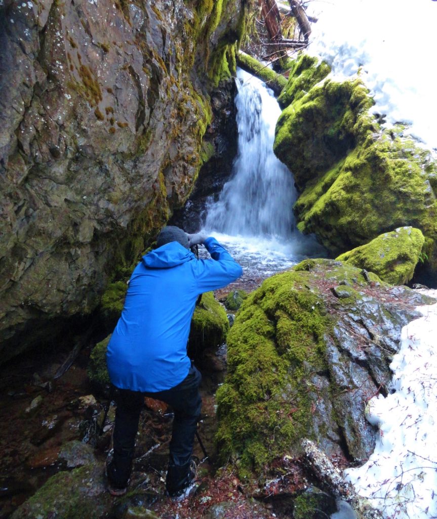
Quick Facts: Location: White River Valley Land Agency: Mount Baker-Snoqualmie National Forest Roundtrip: 2.5 miles Elevation gain: 500 feet Green Trails Map: Mount Rainier Wonderland no. 269SX Contact: Mount Baker-Snoqualmie National Forest; Snoqualmie Ranger DistrictNotes: Northwest Forest Pass required at actual trailhead. When snow level is low, parking may be a challenge. Do not block…
Read MoreOld Government Trail–Follow in the footsteps of long gone miners and adventurers
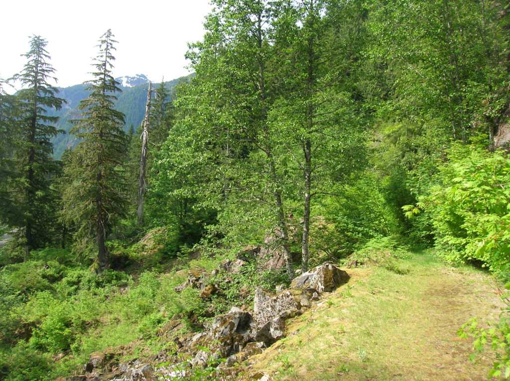
Location: Mountain Loop Highway near Granite Falls Land Agency: Mount Baker-Snoqualmie National Forest Roundtrip: 4.0 miles High Point: 2,450 feet Elevation gain: 400 feet Difficulty: difficult Green Trails Map: Mountain Loop Highway 111SX Contact: Darrington Ranger District: Mount Baker Snoqualmie National Forest ( Notes: Northwest Forest Pass required Access: : From Granite Falls, follow the Mountain…
Read MoreDowney Creek — portal to famous Ptarmigan Traverse

Quick Facts: Location: Suiattle River Road Land Agency: Mount Baker-Snoqualmie National Forest Roundtrip: 13.6 miles Elevation gain: 1500 feet Green Trails Maps: Mountain Loop Highway Map 111SX Contact: Darrington Ranger District: Mount Baker-Snoqualmie National Forest Notes: Northwest Forest Pass or interagency pass required Access: From Darrington travel north on SR 530 for 7.5 miles turning…
Read MoreJohnson Ridge–Ridgeline hike in the Wild Sky Wilderness
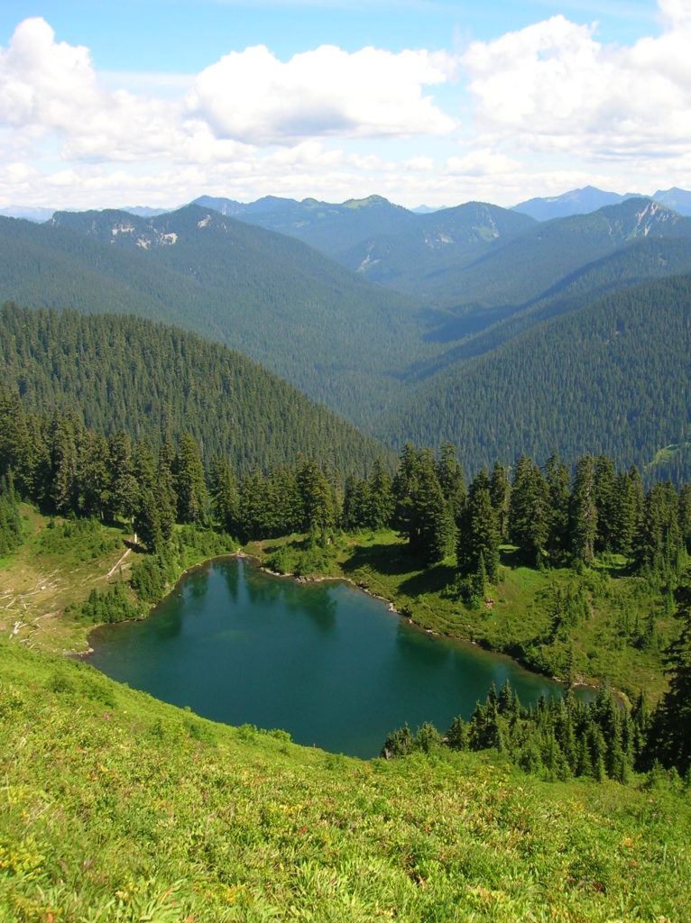
Location: Beckler River near Skykomish Land Agency: Mount Baker-Snoqualmie National Forest Roundtrip: 9.0 miles High Point: 5,540 feet Elevation gain: 2,650 feet Difficulty: difficult Green Trails Maps: Alpine Lakes West Stevens Pass No. 176S Contact: Skykomish Ranger District: Mount Baker-Snoqualmie National Forest Access: From Everett head east on US 2 for 50 miles turning left onto…
Read MoreKelcema Lake-Satisfying snowshoe trip to ancient forest flanked subalpine lake
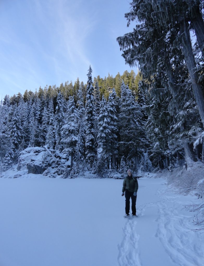
Quick Facts: Location: Mountain Loop Highway near Granite Falls Land Agency: Mount Baker-Snoqualmie National Forest Roundtrip: 9.6 miles Elevation gain: 1,600 feet Green Trails Map: Mountain Loop Highway 111SX Contact: Darrington Ranger District: Mount Baker Snoqualmie National Forest Access: From Granite Falls, follow the Mountain Loop Highway east for 23.5 miles to Deer Creek Parking…
Read MoreRiver Trail (Blue Diamond Trail)–Easily accessible and little-known trail along White River
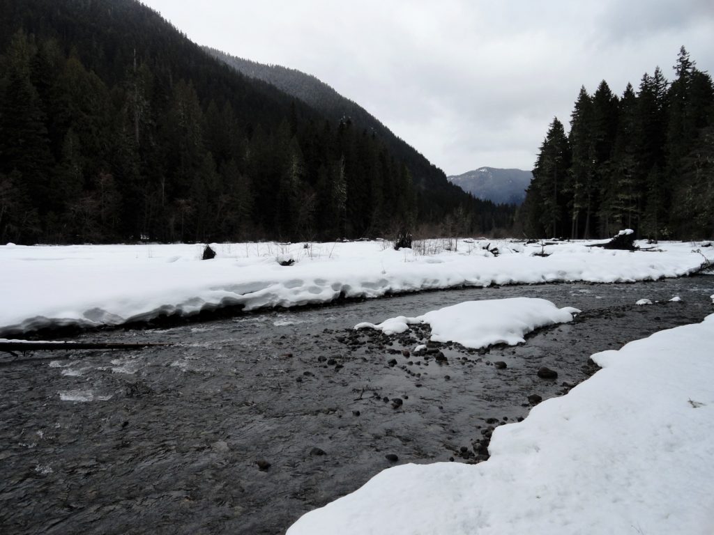
Quick Facts: Location: White River Valley Land Agency: Mount Baker-Snoqualmie National Forest Round Trip: 3.2 miles Elevation Gain: 100 feet Contact: Washington State Parks Sno-Parks Green Trails Map: Mount Rainier 269SX Notes: Sno-Park Pass required; Dogs allowed on leash Access: From Enumclaw follow SR 410 for 33 miles turning left (just before Mount Rainier National…
Read MoreCutthroat Lakes– Hike to a set of beautiful tarns beneath Bald Mountain
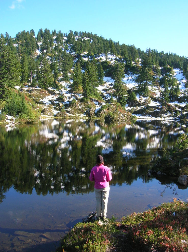
Quick Facts: Location: Mountain Loop Highway Land Agency: Mount Baker-Snoqualmie National Forest; Washington Department of Natural Resources Roundtrip: 6.0 miles Elevation gain: 1,700 feet Green Trails Maps: Mountain Loop Highway 111SX Recommended Resource: Day Hiking North Cascades (Romano; Mountaineers Books) Contact: Darrington Ranger District: Mount Baker-Snoqualmie National Forest Notes: access road is narrow and parking is limited.…
Read More