Posts Tagged ‘Olympic National Forest’
Duckabush River — Every day is Hump Day on this wilderness trail!

Quick Facts: Location: The Brothers Wilderness, east Olympic Peninsula Land Agency: Olympic National Forest Roundtrip: 10.6 miles Elevation gain: 2,300 feet Contact: Hood Canal Ranger District, Quilcene ; Olympic National Forest Green Trails Map: Olympics East no. 168SX Notes: Trail crosses a recent burn area, beware of falling snags especially during windy days Good to Know:…
Read MoreUpper Dungeness River─Take shelter from the rain under a magnificent old-growth canopy
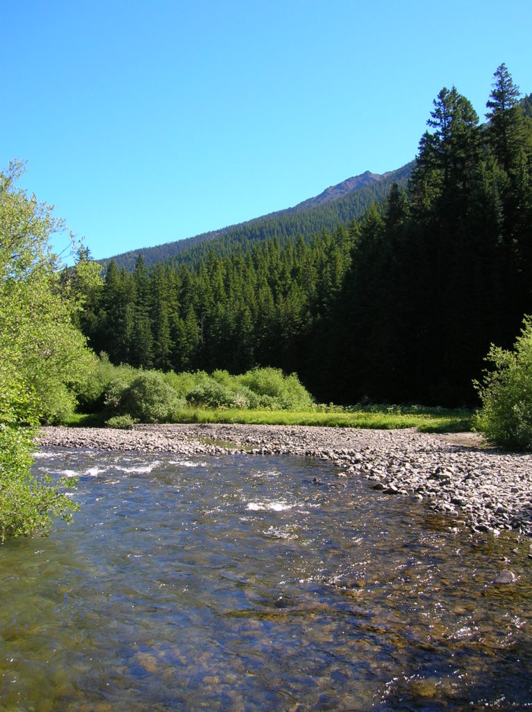
Quick Facts: Location: Buckhorn Wilderness, Olympic National Forest Land Agency: National Forest Service Roundtrip: 7.0 miles Elevation Gain: 600 feet Green Trails Map: Olympic Mountains East 168SX Note: NW Forest Pass or Interagency Pass required Access: From US 101 turn south onto Louella Road (directly across from Sequim Bay State Park entrance). In one mile…
Read MoreMount Muller Loop– Stunning ridgeline hike above the Sol Duc Valley
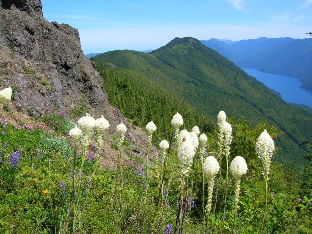
Quick Facts: Location: North Olympic Peninsula Land Agency: Olympic National Forest Roundtrip: 12.7 miles Elevation gain: 3350 feet Contact: Olympic National Forest, Pacific Ranger District, Forks, Green Trails Map: Green Trails Lake Crescent No. 101 Notes: Northwest Forest Pass or Interagency Pass required Access: From Port Angeles, follow US 101 west for 32 miles to…
Read MoreDirty Face Ridge– Make a clean break from Mount Townsend’s crowds

Quick Facts: Location: Buckhorn Wilderness, Northeast Olympic Peninsula Land Agency: Olympic National Forest Roundtrip: 7.8 miles Elevation gain: 3,000 feet Green Trails Maps: Olympic Mountains East No. 168SX Recommended Guidebook: Day Hiking Olympic Peninsula 2nd edition (Mountaineers Books) by Craig Romano Contact: Hood Canal District, Olympic National Forest Quilcene Access: Take US 101 to Louella…
Read MoreMount Walker–excellent views at the eastern edge of the Olympic Mountains
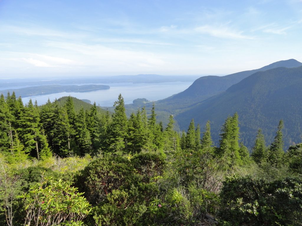
Quick Facts: Location: Northeast Olympic Peninsula Land Agency: Olympic National Forest Roundtrip: 5.0 miles Elevation gain: 2050 feet Contact: Hood Canal Ranger District Green Trails Map: Olympics East no. 168S Notes: In winter the road is gated. Park away from gate and walk .3 mile to trailhead. Recommended Guidebook: Day Hiking Olympic Peninsula 2nd edition (Mountaineers…
Read MoreRanger Hole –Hike to a Historic fishing spot on the Duckabush

Quick Facts: Location: Olympic Peninsula Land Agency: Olympic National Forest Round Trip: 1.9 miles Elevation Gain: 250 feet Contact: Olympic National Forest, Hood Canal Ranger District, Green Trails Map: Green Trails Olympic Mountains East 168S Notes: Northwest Forest Pass required; Be sure to respect the privacy of any guests who may be staying in the…
Read More