Posts Tagged ‘Snohomish County’
Big Four Ice Caves — Cool attraction is a hot destination
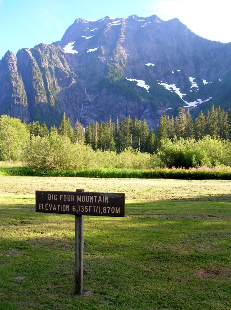
Quick Facts: Location: Mountain Loop Highway near Granite Falls Land Agency: Mount Baker-Snoqualmie National Forest Roundtrip: 2.2 miles Elevation gain: 200 feet Difficulty: easy Green Trails Map: Mountain Loop Highway 111SX Contact: Darrington Ranger District: Mount Baker- Snoqualmie National Forest or Verlot Public Service Center (summer weekends) (360) 691-7791 Notes: NW Forest Pass required; DO NOT…
Read MoreCircle Peak–Round this summit for fantastic 360-degree views

Location: White Chuck River Valley, Mountain Loop Highway Land Agency: Mount Baker-Snoqualmie National Forest Roundtrip: 18.6 miles High Point: 5,983 feet Elevation gain: 4,800 feet Difficulty: challenging Notes:FR 23 is currently is closed at mile 4 due to a washout Green Trails Maps: Mountain Loop Highway no. 111SX Recommended Guidebook: Day Hiking North Cascades 2nd…
Read MoreLeque Island–Where it snows geese in the winter!
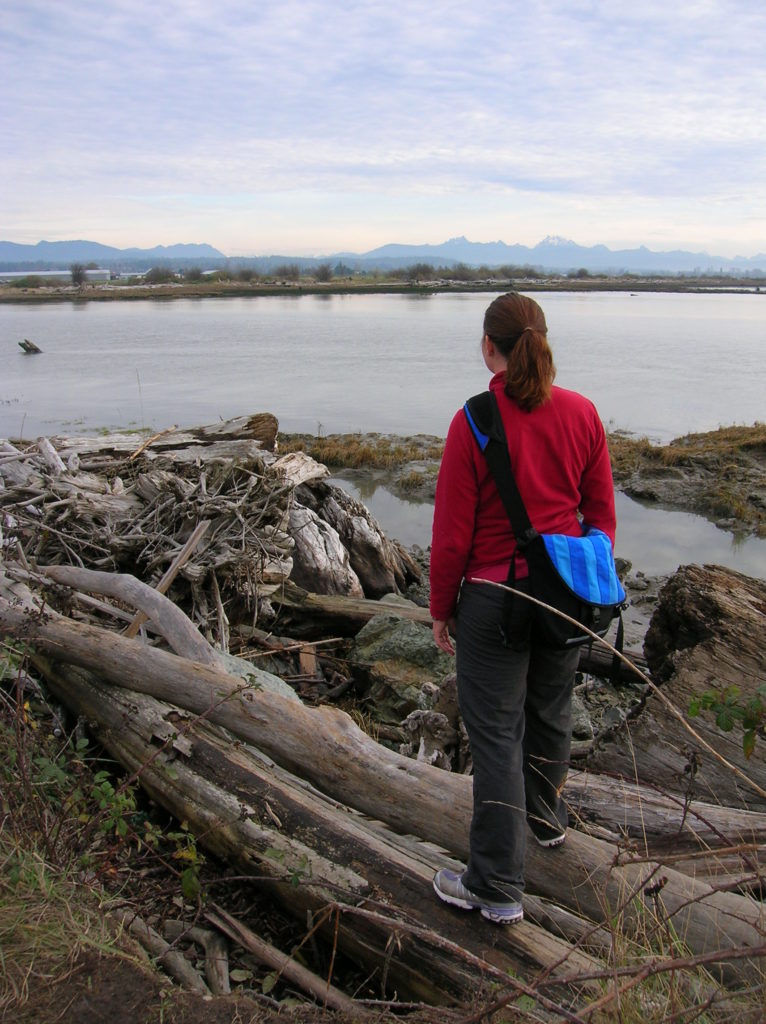
Location: Stanwood Land Agency: Washington Department of Fish and Wildlife (WDFW) Roundtrip: 1.0 mile Elevation gain: None Difficulty: Easy Contact: Washington Department of Fish and Wildlife Notes: Discover Pass or WDFW Vehicle Use Permit required; Active hunting area from October to late January Access: From Exit 212 on I-5, travel west 5.0 miles to Stanwood.…
Read MoreIndependence Lake–A great place to celebrate the 4th of July and the Freedom of the Hills
Quick Facts Location: Mountain Loop Highway near Granite Falls Land Agency: Mount Baker-Snoqualmie National Forest Roundtrip: 1.5 miles…
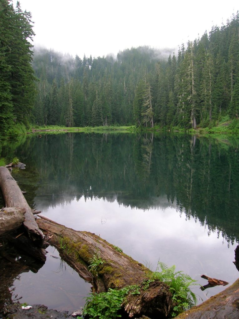
Read MoreMonte Cristo–Count down is near for clean-up of historic mining town
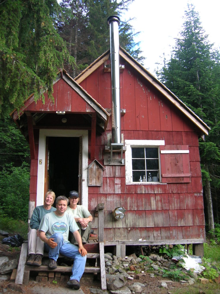
Quick Facts Location: Mountain Loop Highway near Granite Falls Land Agency: Mount Baker-Snoqualmie National Forestuntain Loop Highway near Granite Falls Roundtrip: 8.0 miles High Point: 2,800 feet Elevation gain: 500 feet Difficulty: moderate Green Trails Maps: Sloan Peak, WA- No. 111; Monte Cristo, WA- No. 143 Contact: Darrington Ranger District: Mount Baker Snoqualmie National Forest…
Read MoreNorth Fork Sauk Falls–Thundering Cataract is a spectacular spectacle in the spring
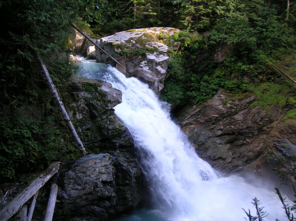
Location: Mountain Loop Highway near Darrington Land Agency: MountBaker-SnoqualmieNational Forest Roundtrip: .5 mile Elevation gain: 100 feet Contact: Darrington Ranger District: Mount Baker Snoqualmie National Forest (360) 436-1155 Green Trails Maps: Sloan Peak, WA-No. 111 Access: From Arlington, follow SR 530 east for 28 miles to Darrington. Turn right onto the Mountain Loop Highway and…
Read More