Posts Tagged ‘snow-free winter hike’
Two Trees Trail─Two big pines and plenty of other trees, too!
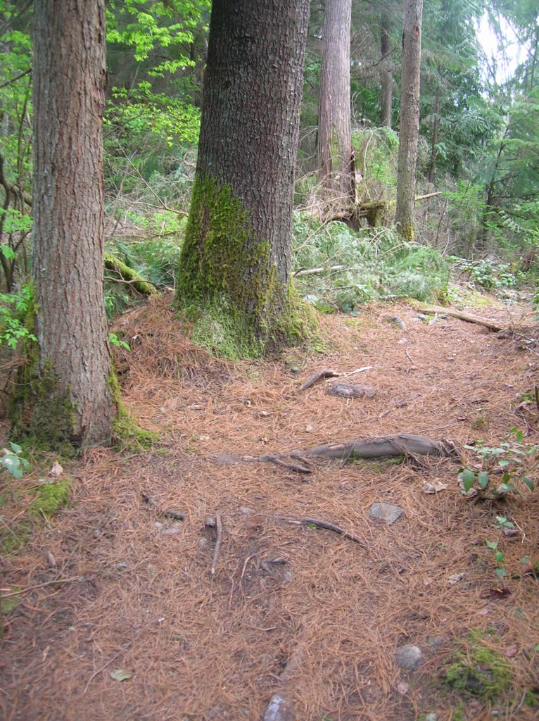
Quick Facts: Location: Maltby Land Agency: Snohomish County Parks Roundtrip: 3.8 miles Elevation Gain: 75 feet Special Note: Dogs must be leashed. Contact: Snohomish County Parks Access: From SR 522 in Maltby (5.0 miles east of Woodinville; 8.0 miles west of Monroe) head east on Paradise Lake Road for 1.7 miles to trailhead. Snohomish County…
Read MoreLake Padden Park- big trees and placid lake minutes from bustling Bellingham
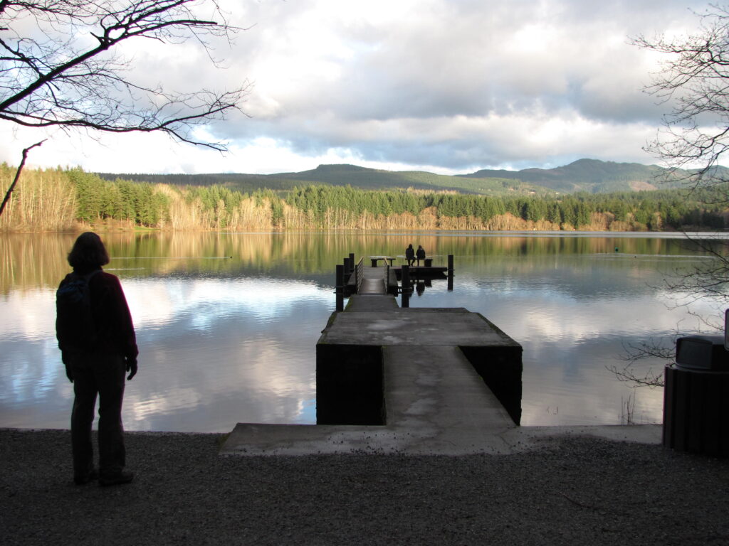
Quick Facts: Location: Bellingham Distance: more than 9.0 miles of trails Elevation Gain: up to 600 feet Contact: City of Bellingham Park Map: Square One Maps Chuckanut Recreation Area Notes: on-leash and off-leash trails Trailhead directions: From Bellingham follow I-5 south to Fairhaven Exit 252. Then continue south on Samish Way for 2.3 miles turning…
Read MoreBright Walk (White Rock Promenade)– Festive hike on Semiahmoo Bay

Quick Facts: Location: White Rock BC Distance: 4.4 km (2.7 miles) round trip Elevation Gain: minimal Contact: City of White Rock Recreation and Culture Recommended Guidebook: Urban Trails Vancouver, BC (Mountaineers Books) Notes: Bright Walk runs from late November until mid-January. Check city website for exact dates. Promenade open year round but note dogs prohibited…
Read MoreBoundary Bay Dyke Trail

Bountiful birds and beautiful views of Mount Baker Quick Facts: Location: Surrey and Delta, BC Distance: 16.9 km (10.5 miles) one way Elevation Gain: minimal Contact: Metro Vancouver Regional Parks, Surrey Parks and Recreation Recommended Guidebook: Urban Trails Vancouver, BC (Mountaineers Books) Notes: Dogs permitted on leash; but dogs not allowed on shoreline trail in…
Read MoreCranberry Lake Trail—A sweet little hike on Camano Island
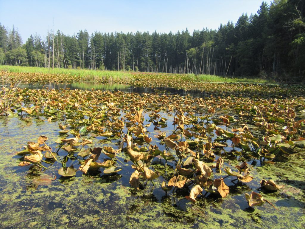
Quick Facts: Location: Camano Island Land Agency: Washington State Parks Roundtrip: 2.2 miles Elevation Gain: 125 feet Contact: Cama Beach State Park Notes: Discover Pass required; Dogs must be leashed Recommended Guidebook: Urban Trails Everett (Mountaineers Books) Access: From Exit 212 on I-5, travel west on SR 532 to Camano Island to a junction at 10.0 miles.…
Read MoreOzette Triangle–Classic Olympic Coast Hike packed with surprises
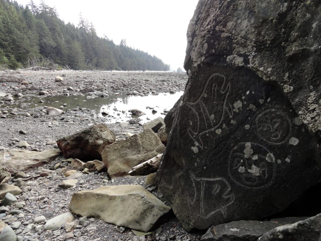
Quick Facts: Location: Olympic Coast Land Agency: Olympic National Park Roundtrip: 9.4 miles Elevation Gain: 400 feet Notes: National Park entry fee; dogs prohibited; coastal section can be difficult during high tides. Green Trails Map: Olympic Coast 99S Contact: Olympic National Park Access: From Port Angeles, follow US 101 west for 5 miles to SR 112. Continue on…
Read MoreOld Sauk River Trail– Stroll along a Wild and Scenic River
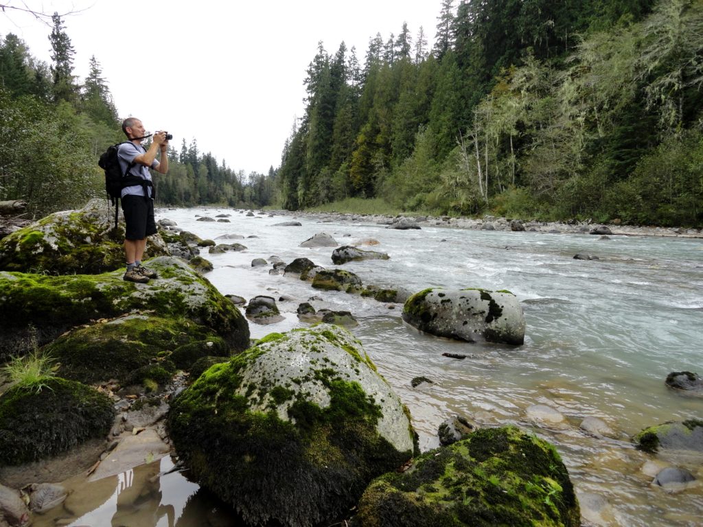
Quick Facts: Location: Mountain Loop Highway near Darrington, Land Agency: Mount Baker -Snoqualmie National Forest Roundtrip: 6.0 miles Elevation gain: 150 feet Green Trails Maps: Mountain Loop Highway 111SX Contact: Darrington Ranger District: Mount Baker -Snoqualmie National Forest Notes: Northwest Forest or Interagency Pass required Access: Take Exit 208 off of I-5 following SR 530…
Read MoreLake Cassidy─ADA Trail to a pretty lake along the Centennial Trail
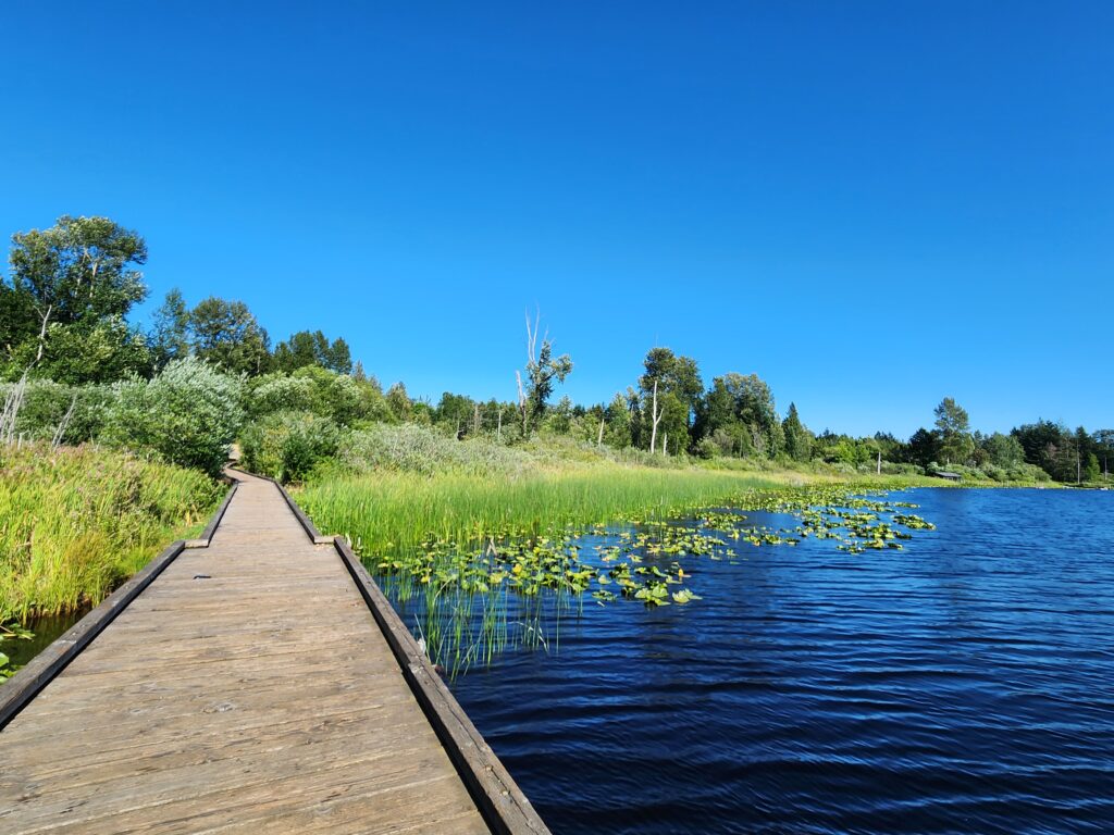
Quick Facts: Location: Marysville Land Agency: Snohomish County Parks Roundtrip: 2.5 miles Elevation Gain: 50 feet Access: From Marysville (Exit 199 I-5) follow SR 528 for 3.0 miles east to SR 9. Head north on SR 9 for 1.0 mile to junction with 84th Street NE. Turn right (east) and continue for just shy of…
Read MoreGuillemot Cove─Quiet nature retreat on Hood Canal
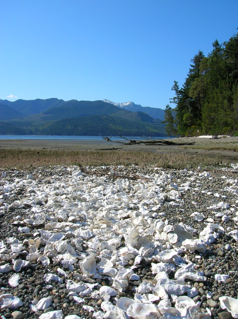
Quick Facts: Location: Kitsap Peninsula Land Agency: Kitsap County Parks Roundtrip: 2.5 miles Elevation Gain: 350 feet Contact: Kitsap County Parks Notes: Dogs prohibited. Access: From Bremerton, follow SR 3 North to Newberry Hill Road Exit. Then head west for 3.0 miles turning right onto Seabeck Highway. Continue for 5.0 miles to Seabeck turning right…
Read MoreBilly Frank Jr. Nisqually National Wildlife Refuge– Delightful hiking on the delta
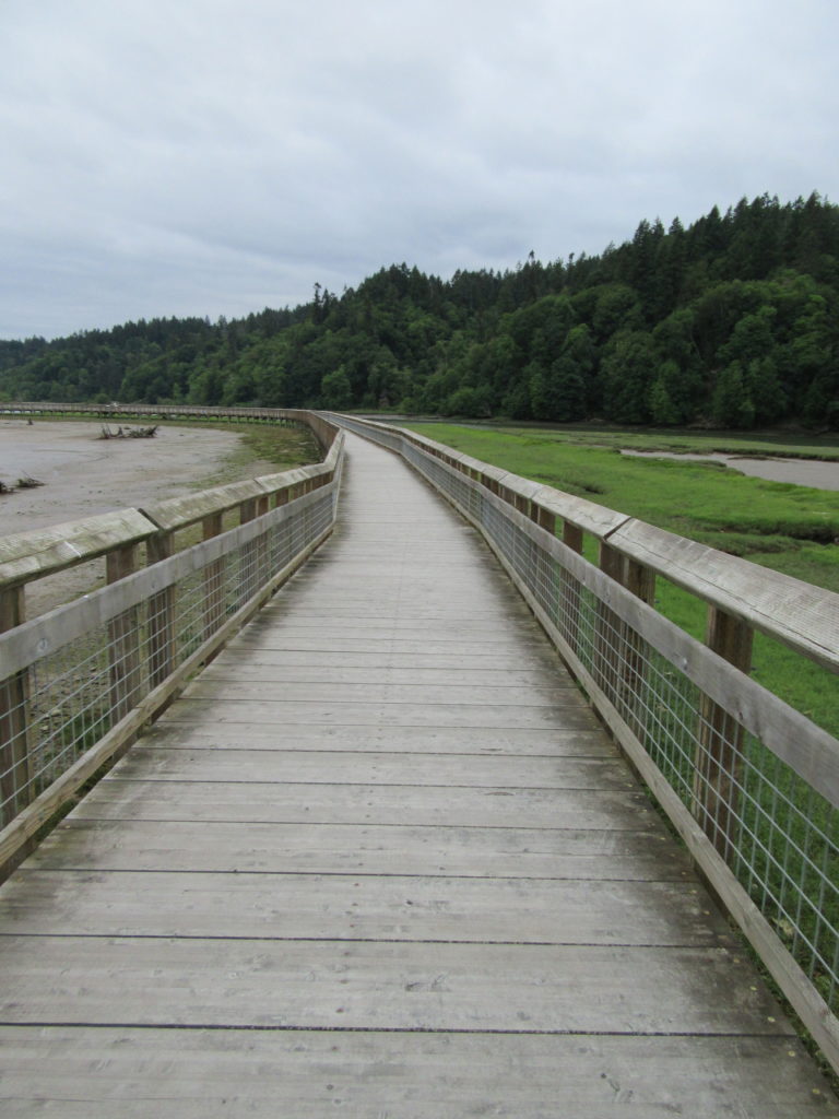
Quick Facts: Location: Nisqually River Delta Land Agency: United States Fish and Wildlife Service Roundtrip: 4.2 miles Elevation Gain: minimal Contact: Billy Frank Jr. Nisqually National Wildlife Refuge Map: Refuge Map Notes: $3.00 per four adults entrance fee; or Interagency Passes accepted; dogs prohibited; Northern end of the Nisqually Estuary Trail is closed from October to…
Read More