Posts Tagged ‘snow-free winter hike’
Quarry Loop Trail─Lord Hill Park Trail is a cut above
Quick Facts: Location: Lord Hill Regional Park Land Agency: Snohomish County Parks Roundtrip: 2.0 miles Elevation Gain: 250 feet Access: From Monroe, exit SR 522 onto Main Street heading west and immediately coming to a roundabout. Bear right onto Tester Road and proceed 3.0 miles to a T-intersection just after passing under SR 522. Turn left and proceed to Tester…
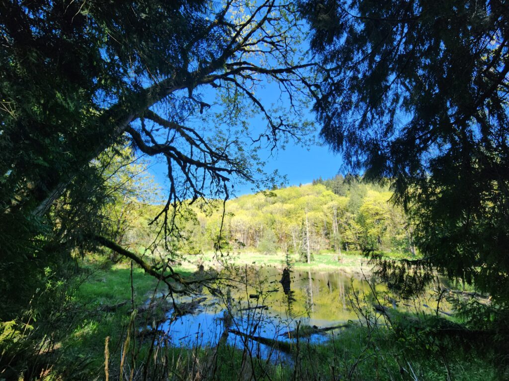
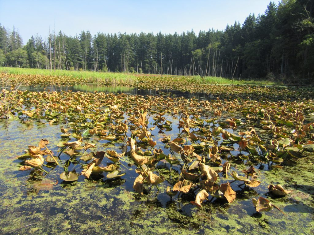
Read MoreCheam Lake Wetlands–Birding hotspot where the North Cascades meet the Fraser River
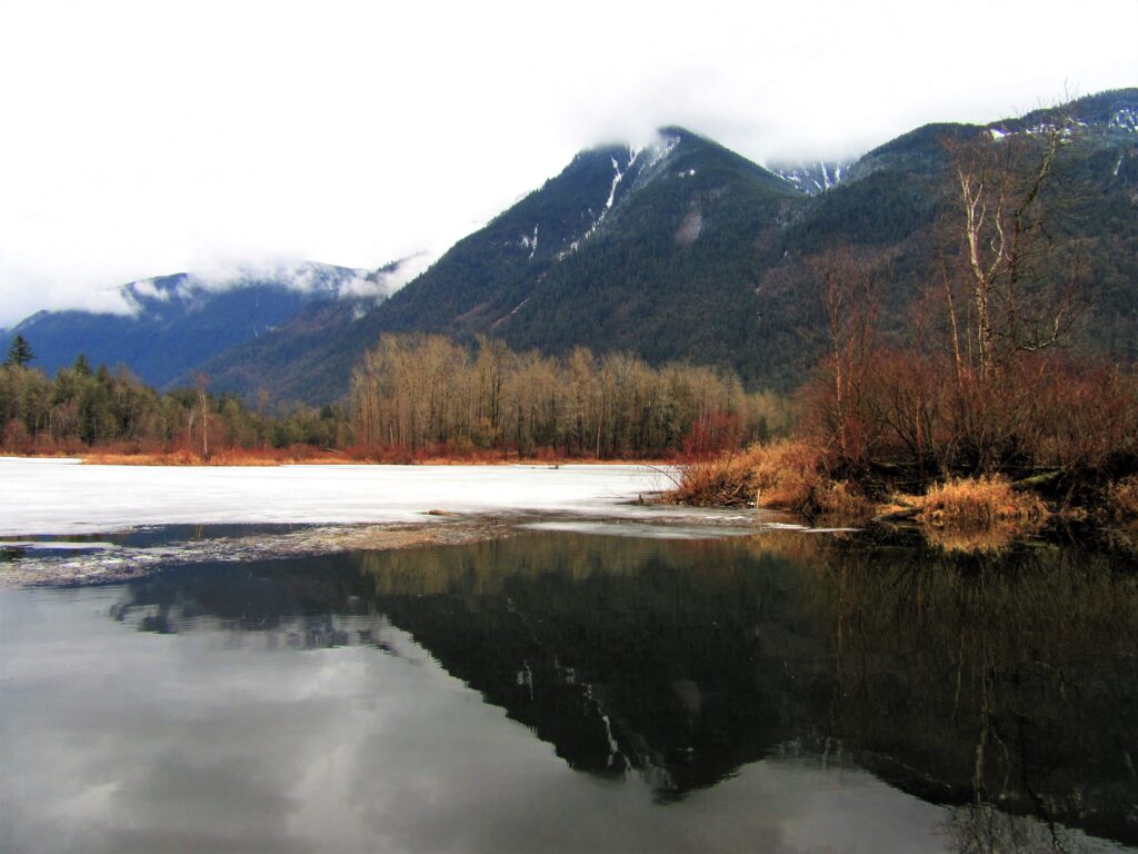
Quick Facts: Location: Popkum, Fraser Valley Regional District, BC Land Agency: Fraser Valley Regional Parks Round Trip: 2.5 miles (4.0 km) roundtrip Elevation Gain: minimal Contact: Fraser Valley Regional Parks Notes: Dogs prohibited Access: From Vancouver, BC follow Trans-Canada Highway 1 east to Exit 138 (12 miles /20 kilometers east of Chilliwack). Turn left and…
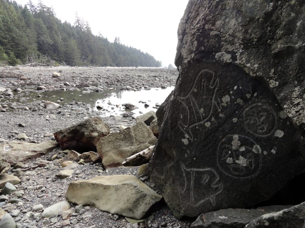
Read MoreSouth Indian Island — Enjoy peaceful shoreline strolling along a line of defense
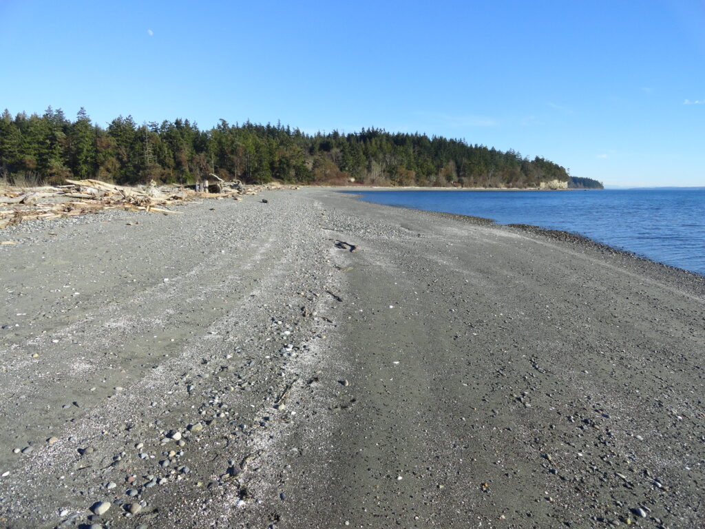
Quick Facts: Location: Indian Island near Port Hadlock Land Agency: Jefferson County Parks Roundtrip: 4.0 miles Elevation Gain: 70 feet Notes: Detailed information can be found in Day Hiking Olympic Peninsula (Mountaineers Books) Contact: Jefferson County Parks Access: From Kingston, drive State Route 104 turning right onto SR 19. Then continue north for 9 miles turning right onto…
Read MoreTwo Trees Trail─Two big pines and plenty of other trees, too!
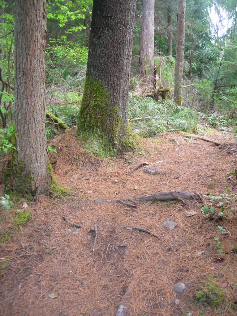
Quick Facts: Location: Maltby Land Agency: Snohomish County Parks Roundtrip: 3.8 miles Elevation Gain: 75 feet Special Note: Dogs must be leashed. Contact: Snohomish County Parks Access: From SR 522 in Maltby (5.0 miles east of Woodinville; 8.0 miles west of Monroe) head east on Paradise Lake Road for 1.7 miles to trailhead. Snohomish County…
Read MoreLake Padden Park- big trees and placid lake minutes from bustling Bellingham
Quick Facts: Location: Bellingham Distance: more than 9.0 miles of trails Elevation Gain: up to 600 feet Contact: City of Bellingham Park Map: Square One Maps Chuckanut Recreation Area Notes: on-leash and off-leash trails Trailhead directions: From Bellingham follow I-5 south to Fairhaven Exit 252. Then continue south on Samish Way for 2.3 miles turning…
Read MoreBright Walk (White Rock Promenade)– Festive hike on Semiahmoo Bay

Quick Facts: Location: White Rock BC Distance: 4.4 km (2.7 miles) round trip Elevation Gain: minimal Contact: City of White Rock Recreation and Culture Recommended Guidebook: Urban Trails Vancouver, BC (Mountaineers Books) Notes: Bright Walk runs from late November until mid-January. Check city website for exact dates. Promenade open year round but note dogs prohibited…
Read MoreBoundary Bay Dyke Trail

Bountiful birds and beautiful views of Mount Baker Quick Facts: Location: Surrey and Delta, BC Distance: 16.9 km (10.5 miles) one way Elevation Gain: minimal Contact: Metro Vancouver Regional Parks, Surrey Parks and Recreation Recommended Guidebook: Urban Trails Vancouver, BC (Mountaineers Books) Notes: Dogs permitted on leash; but dogs not allowed on shoreline trail in…
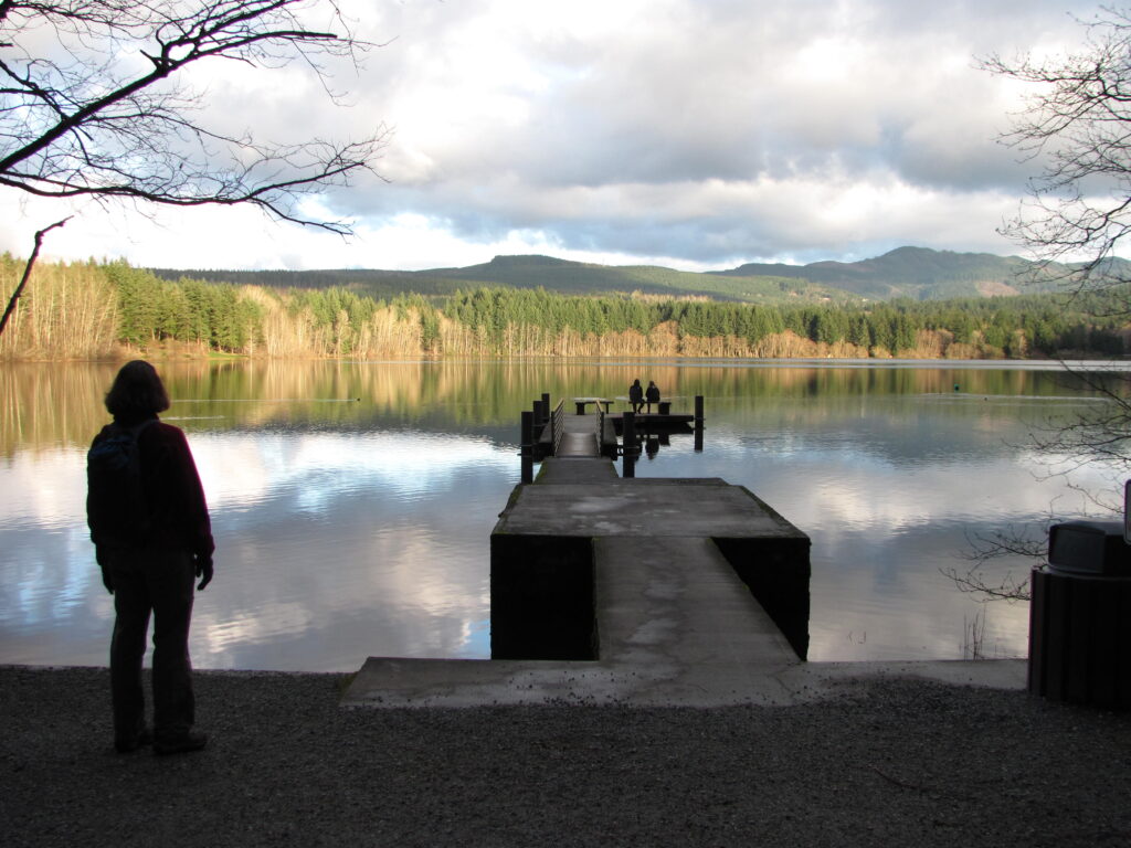
Read MoreCranberry Lake Trail—A sweet little hike on Camano Island
Quick Facts: Location: Camano Island Land Agency: Washington State Parks Roundtrip: 2.2 miles Elevation Gain: 125 feet Contact: Cama Beach State Park Notes: Discover Pass required; Dogs must be leashed Recommended Guidebook: Urban Trails Everett (Mountaineers Books) Access: From Exit 212 on I-5, travel west on SR 532 to Camano Island to a junction at 10.0 miles.…
Read MoreOzette Triangle–Classic Olympic Coast Hike packed with surprises
Quick Facts: Location: Olympic Coast Land Agency: Olympic National Park Roundtrip: 9.4 miles Elevation Gain: 400 feet Notes: National Park entry fee; dogs prohibited; coastal section can be difficult during high tides. Green Trails Map: Olympic Coast 99S Contact: Olympic National Park Access: From Port Angeles, follow US 101 west for 5 miles to SR 112. Continue on…
Read MoreOld Sauk River Trail– Stroll along a Wild and Scenic River
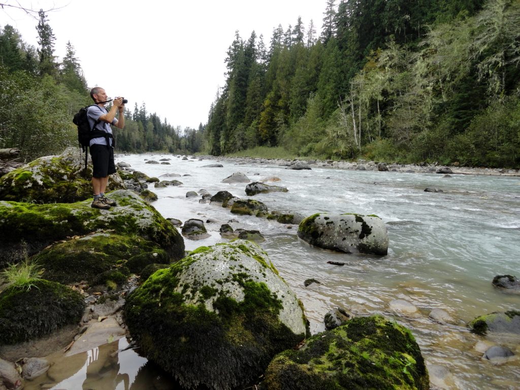
Quick Facts: Location: Mountain Loop Highway near Darrington, Land Agency: Mount Baker -Snoqualmie National Forest Roundtrip: 6.0 miles Elevation gain: 150 feet Green Trails Maps: Mountain Loop Highway 111SX Contact: Darrington Ranger District: Mount Baker -Snoqualmie National Forest Notes: Northwest Forest or Interagency Pass required Access: Take Exit 208 off of I-5 following SR 530…
Read More