Posts Tagged ‘snow-free winter hike’
Beards Hollow─Just in the Nick of Time for razor clam season

Quick Facts: Location: Long Beach Peninsula, Pacific County, WA Land Agency: Washington State Parks Contact: Cape Disappointment State Park Roundtrip to Beards Hollow: 1.0 mile Elevation Gain: 50 feet Roundtrip to North Head Lighthouse: 3 miles Elevation Gain: 300 feet Access: From Ilwaco, take Loop Spur State Road 100 in either direction to Beards Hollow…
Read MoreSpider Lake─Best “web site” on the Olympic Peninsula
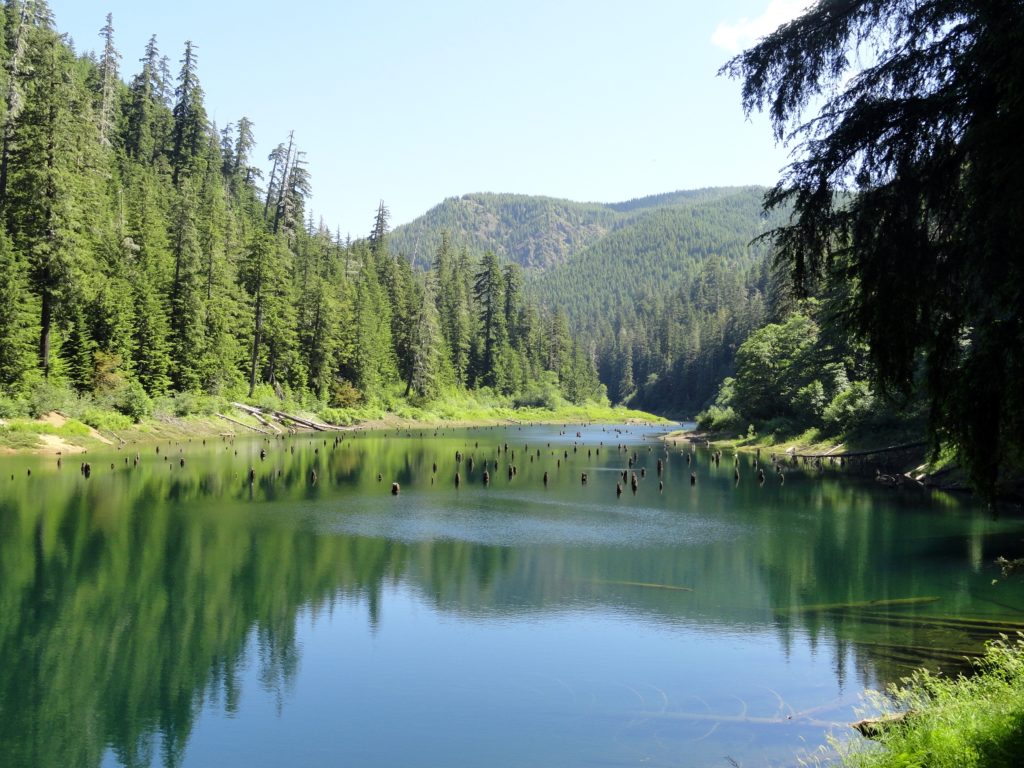
Quick Facts: Location: Olympic National Forest, Hood Canal District Land Agency: National Forest Service Roundtrip: 2.0 miles Green Trails Map: Mount Tebo, WA No. 199 Elevation Gain: 200 feet Contact: Hood Canal District, Quilcene Good to know: Dog-friendly, Kid-friendly, snow free winter hike Access: From Shelton, head north on US 101 for 7 miles turning…
Read MoreSaddle Rock—Iconic landmark of the Wenatchee Foothills
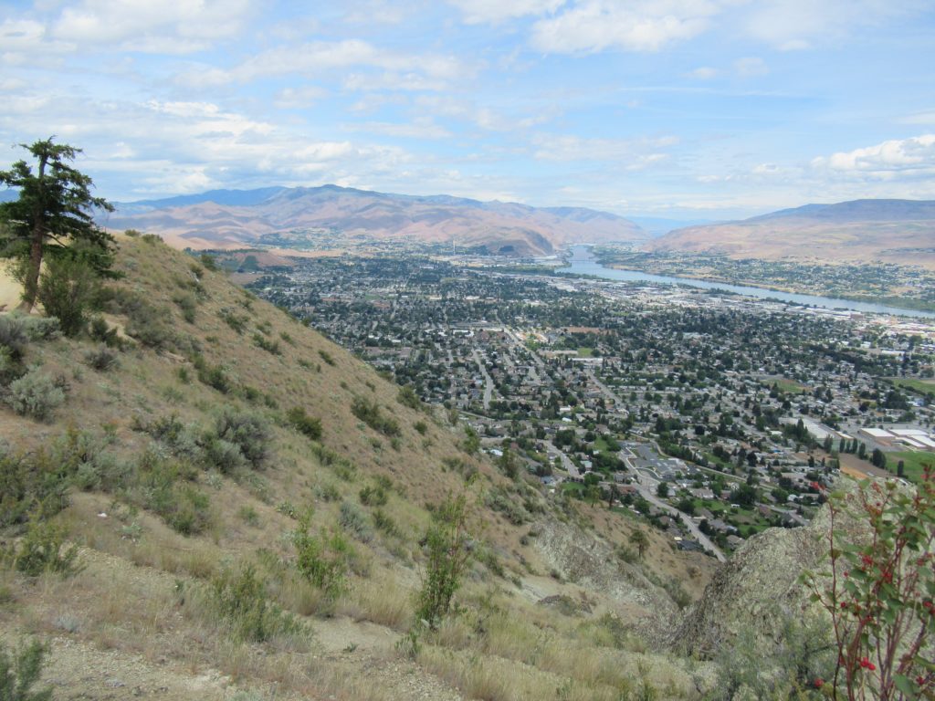
Quick Facts: Location: Wenatchee, Washington Land Agency: WA DNR and Chelan-Douglas Land Trust Roundtrip: 3.0 miles Elevation Gain: 1000 feet Contact: WA DNR and Chelan-Douglas Land Trust Notes: Dogs must be leashed; be alert for rattlesnakes Green Trails Map: Wenatchee/ Mission Ridge No. 211S Access: From US 2 in Wenatchee head south onto State Route…
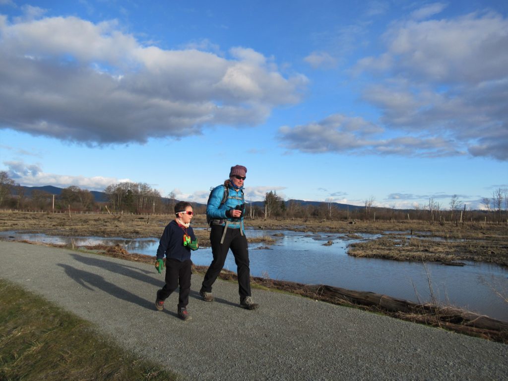
Read MoreTheler Wetlands─Enjoy the sounds and smells of spring at Hood Canal
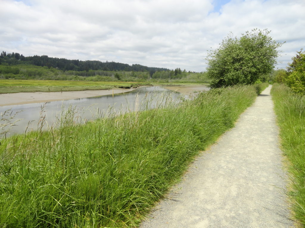
Quick Facts: Location: Kitsap Peninsula Land Agency: City of Belfair, Washington Distance: 3.0 miles of trails Elevation Gain: 40 feet Recommended Resource: Urban Trails Kitsap Notes: Trail open dawn to dusk. Dogs are prohibited. Access: From Bremerton head west on SR 3 to Belfair. Proceed one mile beyond the junction with SR 300 to the…
Read MoreOyster Dome─The Pearl of the Chuckanut Mountains
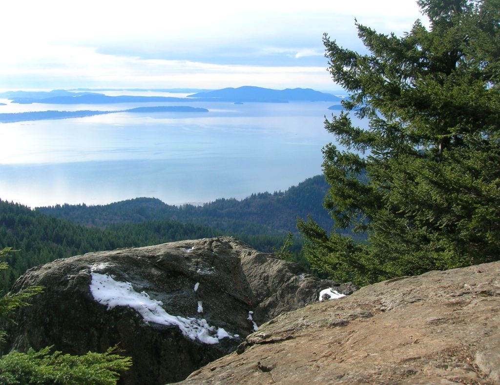
Quick Facts: Location: Chuckanut Mountains Land Agency: Washington Department of Natural Resources Roundtrip: 6.5 miles Elevation Gain: 1,900 feet Special Note: Oyster Dome can be hazardous in icy and wet conditions. Trail can be extremely popular, opt for a weekday visit. Contact: Washington DNR, Northwest Region; www.dnr.wa.gov Access: Trailhead is located just past milepost 10…
Read MoreJacobs Point Park
Park rich with views, history, and wildlife on Oro Bay Quick Facts: Location: Anderson Island Land Agency: Anderson Island Park and Recreation Department Round Trip: 2.5 mile loop Elevation Gain: minimal Contact: Anderson Island Park and Recreation Department Detailed Information: Urban Trails Tacoma (Mountaineers Books) Notes: Dogs prohibited Access: From Steilacoom–Anderson Island Ferry terminal take…
Read MoreLittle Si─You won’t sigh over the views from this open summit
Quick Facts: Location: Snoqualmie Valley Land Agency: Washington DNR Roundtrip: 4.6 miles Elevation Gain: 1,100 feet Green Trails Map: Green Trails, Mount Si NRCA No. 206S Notes: Discover Pass Required; dogs must be leashed Contact: WA Department of Natural Resources, South Puget Sound Region (360) 825-1631; www.dnr.wa.gov Access: Take I-90 to exit 32 in North Bend…
Read MoreSkagit Wildlife Area—Headquarters Unit
Supreme birdwatching on the Skagit River Delta Quick Facts: Location: Fir Island, Skagit County Land Agency: Washington Department of Fish and Wildlife (WDFW) Round Trip: 1.9 miles of trails Elevation Gain: minimal Contact: Washington Department of Fish and Wildlife (WDFW) Detailed Information: Urban Trails Bellingham (Mountaineers Books) Notes: Discover Pass or WDFW Vehicle Access Pass…
Read MoreHole in the Wall–walk a wilderness beach to a big natural arch

Quick Facts: Location: Olympic Peninsula Coast Land Agency: Olympic National Park Roundtrip: 4.0 miles Green Trails Map: Olympic Beaches 99S Elevation Gain: None Contact: Olympic National Park Access: From Forks, drive west on SR 110 to Quillayute Prairie. Here SR 110 splits. Bear right (Mora Road), and drive 5.0 miles to the trailhead at road’s end.…
Read MoreMargaret’s Way to Debbie’s View
Excellent views on the quiet Issaquah Alp Quick Facts: Location: Squak Mountain, Issaquah Alps Land Agency: King County Parks, Washington State Parks Distance: 7.0 miles Elevation Gain: 1600 feet Contact: Squak Mountain State Park and King County Parks Green Trails Map: Green Trails Cougar Mtn/ Squak Mtn No. 203S Notes: dogs permitted on leash Recommended…
Read More