Posts Tagged ‘snow free winter hikes’
Iceberg Point — Maritime scenery will leave you frozen in astonishment
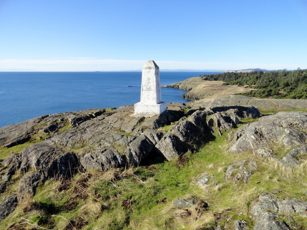
Quick Facts: Location: San Juan Islands National Monument Land Agency: Bureau of Land Managment Roundtrip: 3.8 miles Elevation gain: 380 feet Contact: San Juan Islands National Monument, Spokane District Office BLM Notes: Dogs permitted on leash; do not park beyond Agate Beach Park; access is via private property which owners have generously granted permission—stay on…
Read MoreRainbow Falls State Park
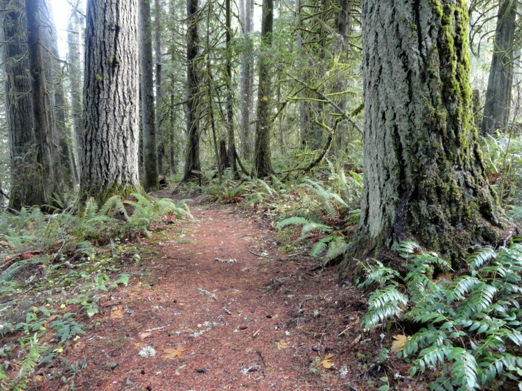
Stroll through groves of Old-growth above the Chehalis River Quick Facts: Location: Chehalis River Valley Land Agency: Washington State Parks Roundtrip: up to 3.0 miles Elevation gain: 300 feet Contact: Rainbow Falls State Park Notes: Discover Pass required; dogs must be leashed Access: From Chehalis (exit 77 on I-5) follow SR 6 west for 16…
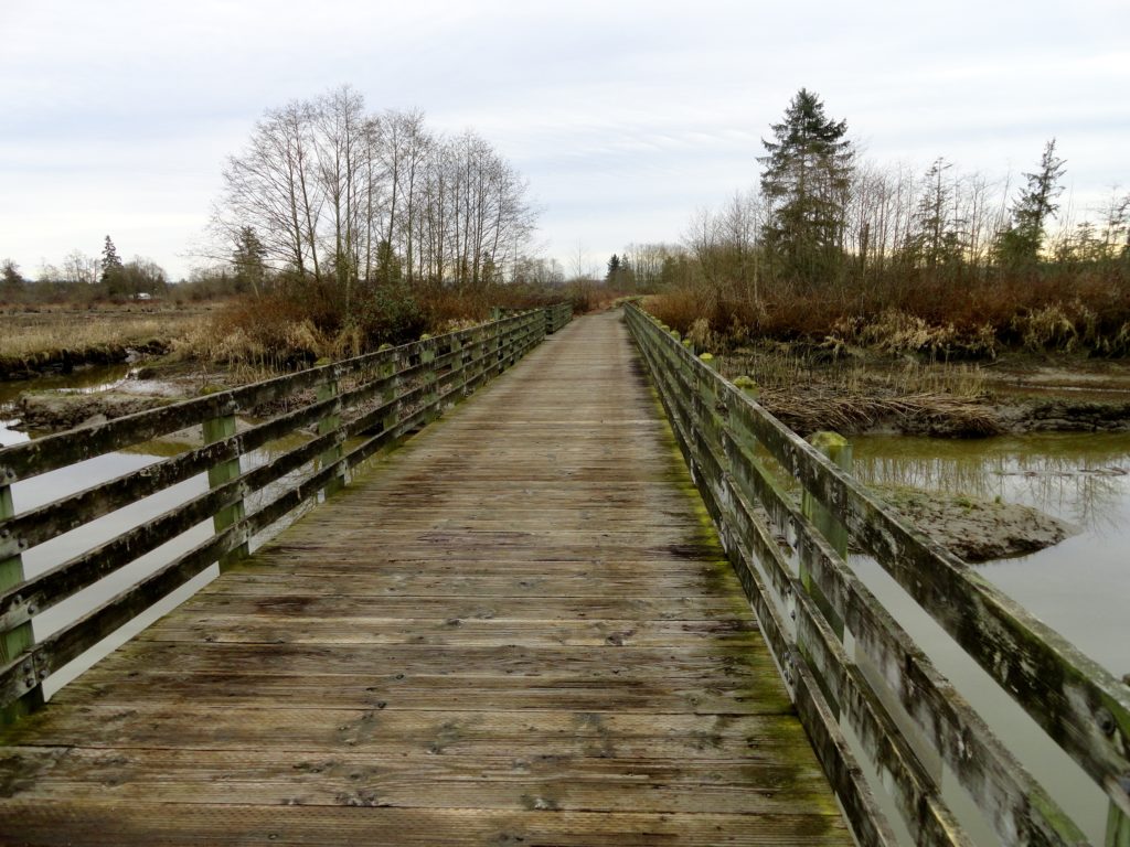
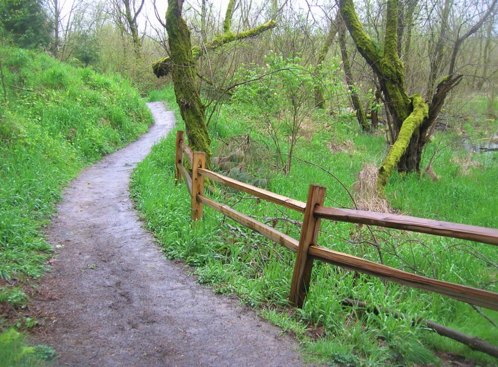
Read MoreBob Heirman Wildlife Preserve at Thomas’ Eddy – Swans, steelhead, and serenity on the Snohomish River

Quick Facts: Location: Snohomish River, south of Snohomish Land Agency: Snohomish County Parks Roundtrip: 1.5 miles Elevation Gain: 50 feet Contact: Snohomish County Parks and Recreation Special Note: Dogs prohibited. Trails can flood during rainy period. Expect wet and muddy trails. Access: From the city of Snohomish, travel south on SR 9 for 2.6 miles…
Read MoreTolmie State Park
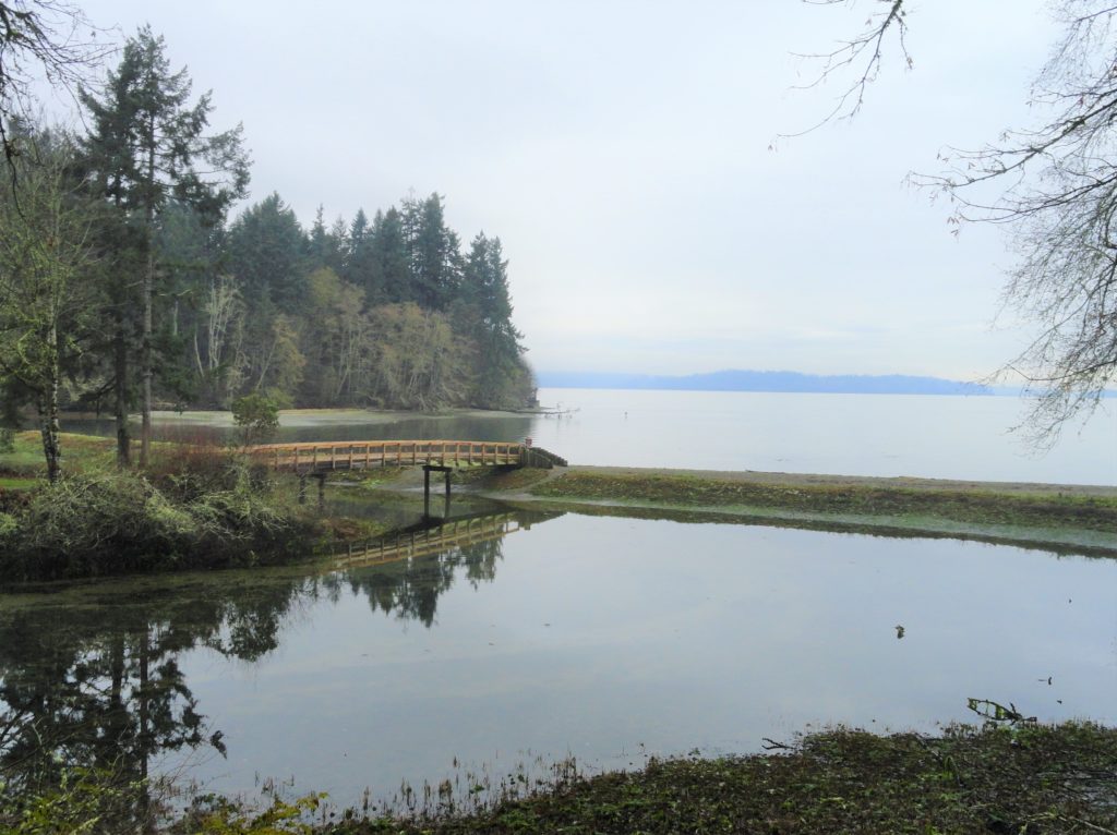
Explore a small trail network on the Nisqually Reach Quick Facts: Location: Lacey Land Agency: Washington State Parks Distance: 3.0 miles of trails Elevation Gain: up to 225 feet Contact: Tolmie State Park Notes: Discover Pass required; dogs permitted on leash: Hours: April 20-September 20: 8 a.m to dusk September 21-April 19, Wed—Sunday 9 a.m.-dusk…
Read MoreDash Point State Park
Make a dash for more than 10 miles of trails! Quick Facts: Location: Federal Way Land Agency: Washington State Parks Distance: more than 10 miles of trails Elevation Gain: up to 475 feet Contact: Dash Point State Park Notes: Discover Pass required; dogs permitted on leash, Recommended Guidebook: Urban Trails Tacoma (Mountaineers Book) Access: From…
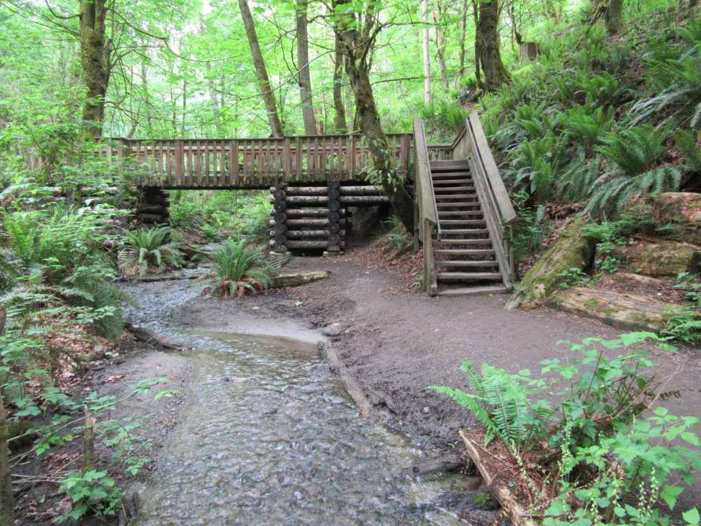
Read MoreMercer Slough Nature Park
Hike a slew of trails near the heart of Bellevue Quick Facts: Location: Bellevue Land Agency: City of Bellevue Parks and Recreation Distance: more than 7.0 miles of trails Elevation Gain: minimal Contact: City of Bellevue Parks and Recreation Notes: dogs permitted on leash, Recommended Guidebook: Urban Trails Eastside (Mountaineers Book) Access: Take Exit 12…
Read MoreTracy Hill — Wild turkeys and sublime views
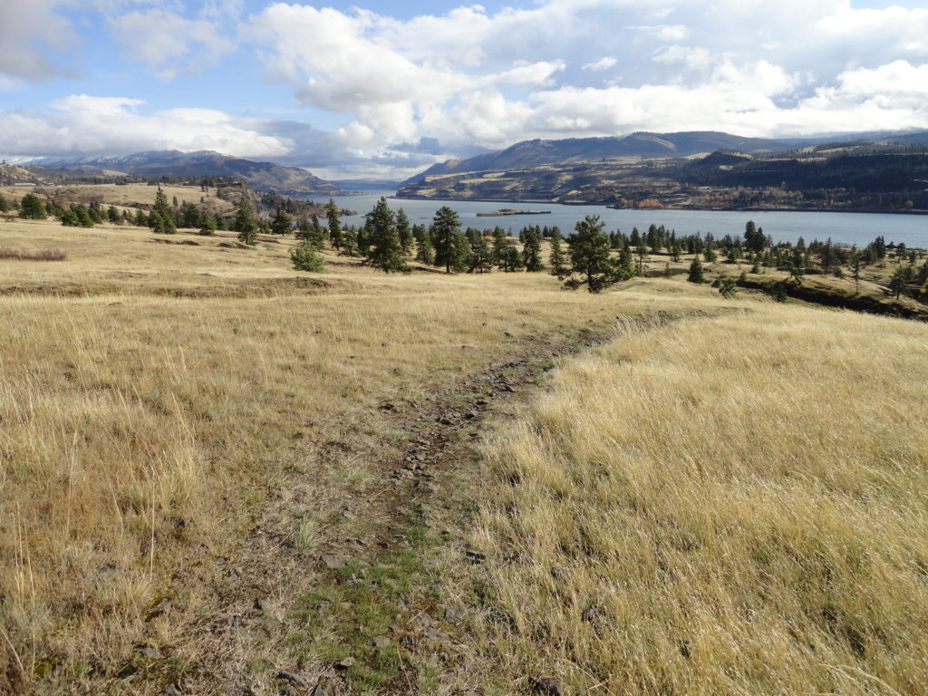
Quick Facts: Location: Columbia River Gorge National Scenic Area Land Agency: Columbia Gorge National Scenic Area Roundtrip: 5.0 miles Elevation gain: 1150 feet Difficulty: Moderate Contact: Columbia Gorge National Scenic Area Notes: Dogs permitted on leash. Be aware of ticks and poison oak. Green Trails Map: Columbia River Gorge East No. 432S Good to Know:…
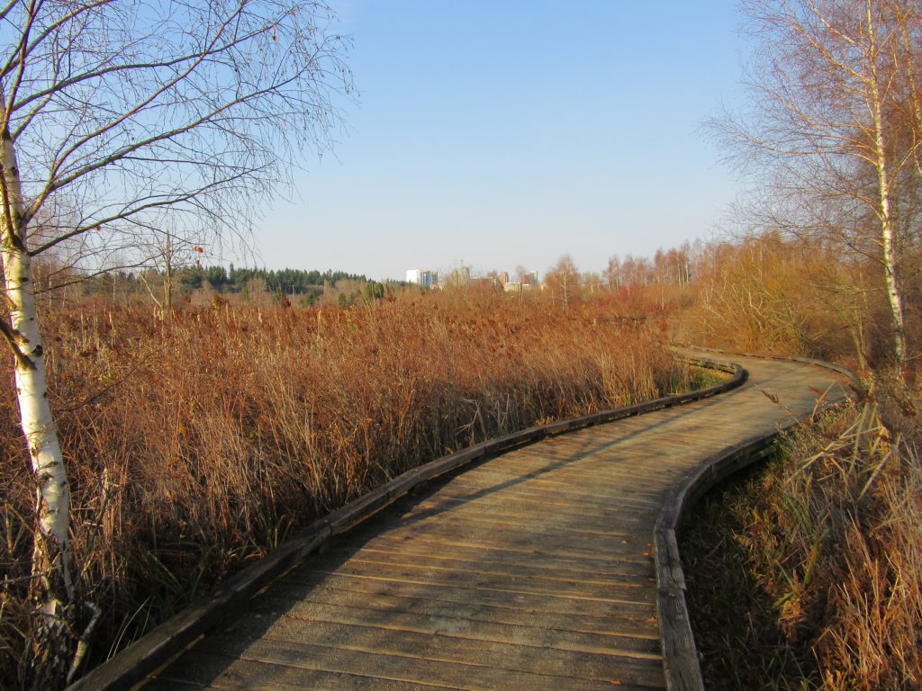
Read MoreSpencer Island — Wildlife refuge in the heart of the Snohomish River Delta
Quick Facts: Location: Snohomish River Delta, Everett Land Agency: Snohomish County Parks Roundtrip: 3.0 miles Elevation gain: none Contact: Snohomish County Parks Notes: Dogs prohibited; Washington Dept of Fish and Wildlife manages northern half of island which is open seasonally to hunting. Good to Know: Practice Leave No Trace, kid-friendly, snow free winter hike, exceptional bird…
Read MoreMount Walker–excellent views at the eastern edge of the Olympic Mountains
Quick Facts: Location: Northeast Olympic Peninsula Land Agency: Olympic National Forest Roundtrip: 5.0 miles Elevation gain: 2050 feet Contact: Hood Canal Ranger District Green Trails Map: Olympics East no. 168S Notes: In winter the road is gated. Park away from gate and walk .3 mile to trailhead. Recommended Guidebook: Day Hiking Olympic Peninsula 2nd edition (Mountaineers…
Read MoreOaks Bottom Wildlife Refuge– Portland’s Premier Wildlife Refuge
Quick Facts: Location: Sellwood neighborhood, Portland, Oregon Land Agency: Portland Parks and Recreation Roundtrip: 2.8 miles Elevation gain: 60 feet Contact: Portland Parks and Recreation Notes: dogs must be leashed Access: From Ross Island Bridge follow US 26 east (Powell Boulevard) immediately turning right onto SR 99E (SE McLoughlin Boulevard). In just over one mile exit…
Read More