Posts Tagged ‘snow free winter hikes’
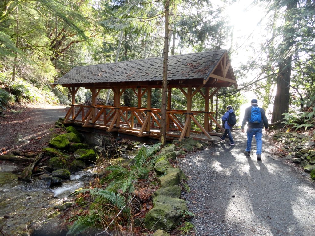
Ranger Hole –Hike to a Historic fishing spot on the Duckabush

Quick Facts: Location: Olympic Peninsula Land Agency: Olympic National Forest Round Trip: 1.9 miles Elevation Gain: 250 feet Contact: Olympic National Forest, Hood Canal Ranger District, Green Trails Map: Green Trails Olympic Mountains East 168S Notes: Northwest Forest Pass required; Be sure to respect the privacy of any guests who may be staying in the…
Read MoreChuckanut Ridge — Follow a rough and tumble ridge to sweeping viewpoints
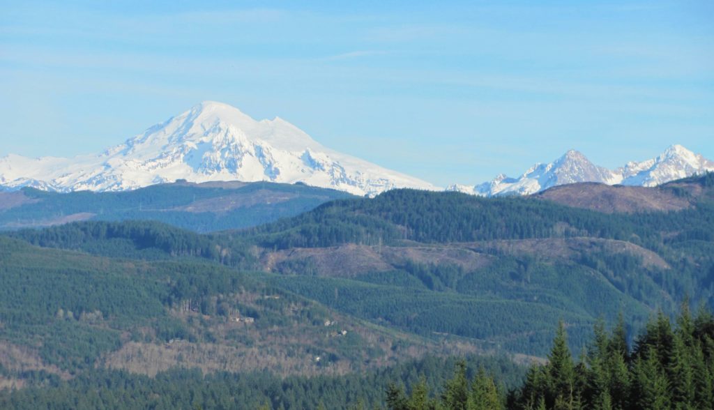
Quick Facts: Location: Chuckanut Mountains Land Agency: Whatcom County Parks and Washington State Parks Round Trip: 10.8 miles roundtrip Elevation Gain: 2000 feet Contact: Whatcom County Parks Recommended Resource: Urban Trails Bellingham (Mountaineers Books) Detailed map: Square One Maps Chuckanut Recreation Area Notes: Dogs allowed on leash Access: From Bellingham follow I-5 south to Fairhaven…
Read MoreFrenchman Coulee — This Canyon above the Columbia River C’est magnifique!
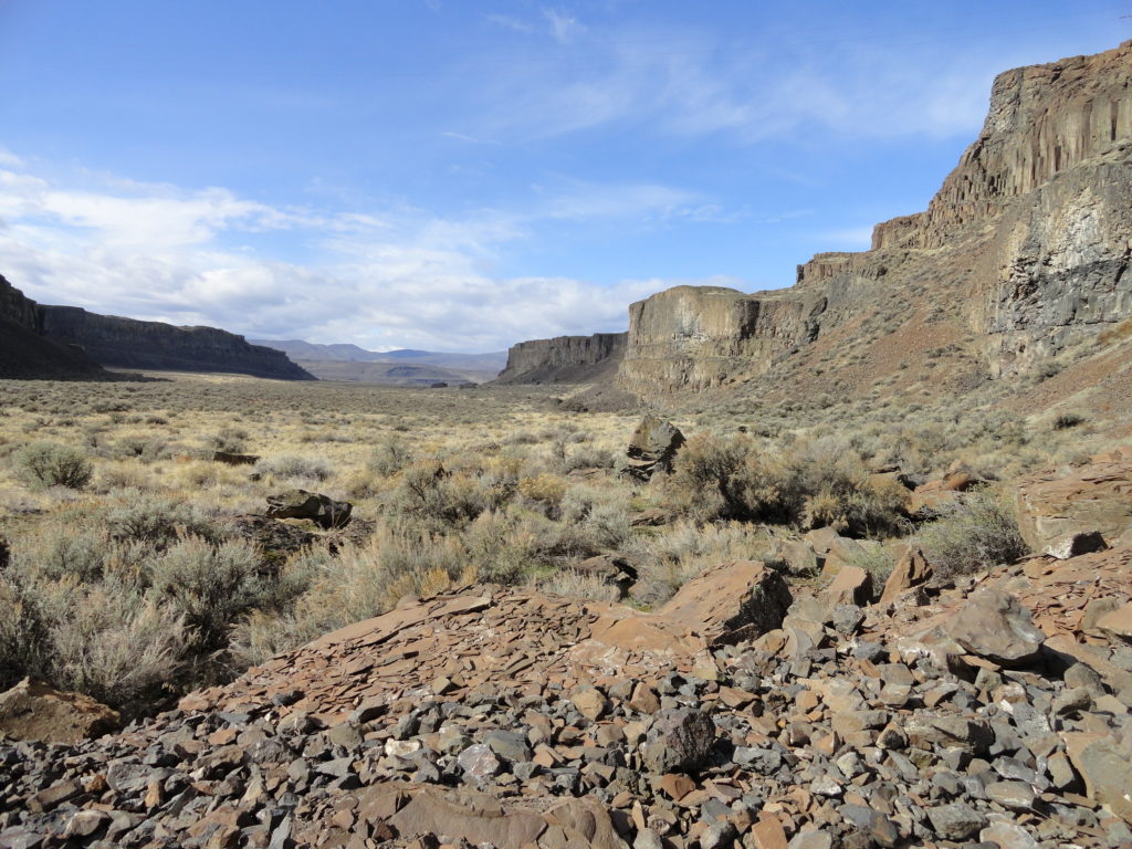
Quick Facts: Location: Columbia River Basin Land Agency: Washington Department of Fish and Wildlife Roundtrip: 4.0 miles Elevation gain: 100 feet Contact: Washington Department of Fish and Wildlife, Columbia Basin Wildlife Area (Moses Lake) Notes: Discover Pass required Detailed Source: Day Hiking Eastern Washington (Mountaineers Books) Access: Follow I-90 to Exit 143 and head north…
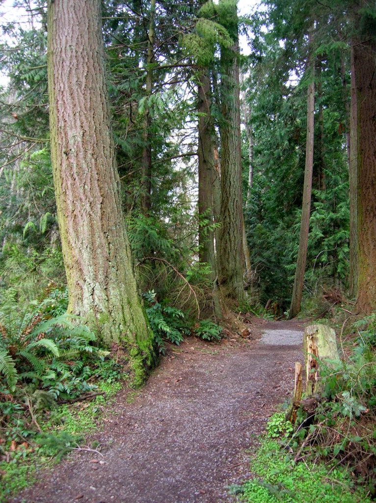
Read MoreQuinault Rainforest Loop — Easily accessible trail system through an Olympic Rainforest
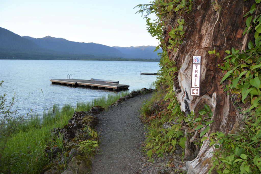
Quick Facts: Location: Lake Quinault Land Agency: Olympic National Forest Roundtrip: 3.9 miles Elevation Gain: 500 feet Contact: Olympic National Forest, Pacific Ranger District, Quinault Detailed Information: Day Hiking Olympic Peninsula 2nd Edition (Mountaineers Books) Notes: Northwest Forest Pass or Interagency Pass required; dogs should on leash Access: From Hoquiam travel north on US 101 for 35 miles.…
Read MoreHertz Trail –Hike along a wild shoreline of Lake Whatcom
Quick Facts: Location: western Whatcom County, near Bellingham Land Agency: Whatcom County Parks Round Trip: 6.2 miles roundtrip Elevation Gain: 60 feet Contact: Whatcom County Parks Detailed Information: Urban Trails Bellingham (Mountaineers Books) Notes: Dogs allowed on leash Access: From Bellingham follow I-5 to Exit 253. Then follow Lakeway Drive east for 1.7 miles bearing…
Read MoreSouthwest County Park─Emerald Swath above Edmonds
Quick Facts: Location: Edmonds Land Agency: Snohomish County Parks and Recreation Roundtrip: Up to 5 miles Elevation Gain: up to 250 feet Access: From Everett follow I-5 south to exit 181. Now follow SR 524 (196th St SW) west passing SR 99 and in about another mile turn right onto 76th Ave W. Proceed for about .5…
Read MoreCandy Cane Park (Terrace Creek Park)-Tis the season for a visit
Quick Facts: Location: Mountlake Terrace, southern Snohomish County Land Agency: City of Mountlake Terrace Roundtrip: 2.0 miles Elevation Gain: 125 feet Access: From Seattle: drive I-5 north to exit 178. Turn right and follow 236th Street SW for 0.7 mile. Then turn left onto 48th Ave W and drive north 0.2 mile to park and parking on your…
Read MorePilchuck Tree Farm─Quiet wood roads from Meadows to Ridge

Quick Facts: Location: Northern Snohomish County, near Stanwood Land Agency: Pacific Denkmann Company Pilchuck Tree Farm Roundtrip: 3.2 miles Elevation Gain: 400 feet Contact: Pilchuck Recreation Association: www.pilchuckra.org Notes: All trail users MUST sign a liability release and have it on file to use these trails. Download here and mail (with $2 donation) to Pilchuck Recreation Association. Dogs…
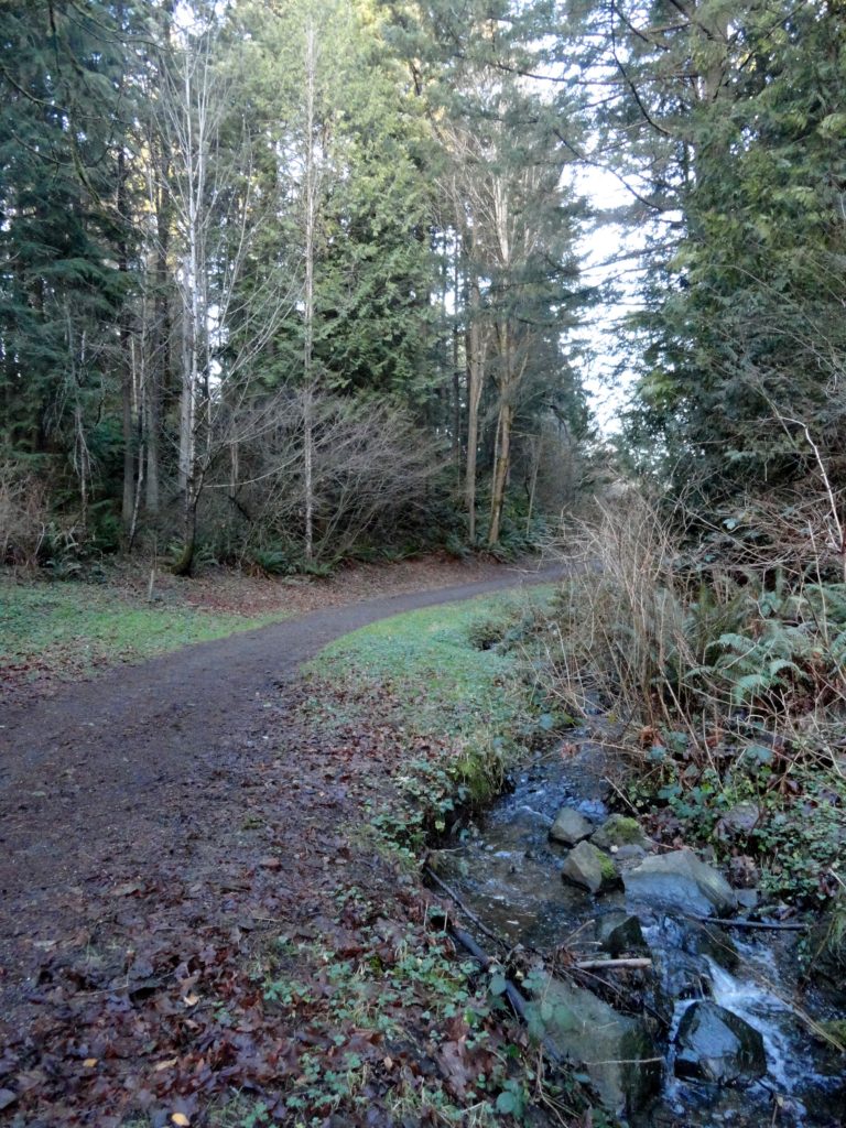
Read MoreBig Ditch─Dig in for some excellent swan and snow geese viewing
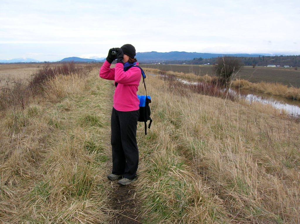
Quick Facts Location: Skagit Bay, Stanwood Land Agency: Washington Department of Fish and Wildlife Roundtrip: 3.6 miles Elevation Gain: None Access: From Exit 212 on I-5 head west on SR 532 for five miles to the town of Stanwood. Turn right onto the Pioneer Highway and proceed for 2.6 miles to the junction with the Old…
Read MoreExplorer Falls–It's an easy search to find these falls

Quick Facts: Location: Near Lake Roesiger between Monroe and Granite Falls Land Agency: Washington DNR Roundtrip: 2.0 miles Elevation gain: 200 feet Contact: Washington DNR Notes: Do not block gate, nor drive past it if open. Active logging area, be alert to trucks on roadway and yield right-of-way. Access: From Monroe, follow Woods Road north…
Read More