Posts Tagged ‘Urban Trails Everett’
Scriber Lake–Wetland Wonder in the heart of Lynnwood
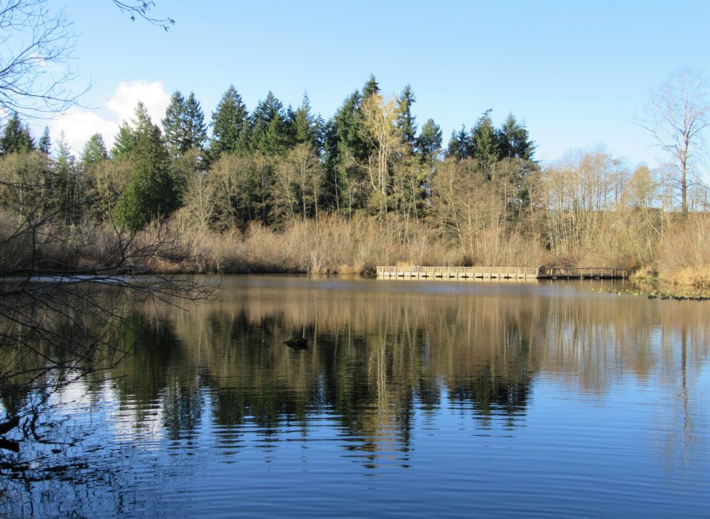
Quick Facts: Location: Lynnwood Land Agency: City of Lynnwood Parks and Recreation Roundtrip: 1.2 miles Elevation gain: none Difficulty: Easy Contact: Lynnwood Parks and Recreation Department; (425-771-4030) Notes: Dogs must be leashed Access: From Seattle take I-5 to exit 181. Turn left onto 44th Ave NW. At third light turn left onto SR 524 (196th…
Read MoreDevil’s Butte–A Frightful name but delightful hike in Lord Hill Park
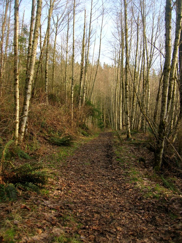
Quick Facts Location: Lord Hill Park near Snohomish Land Agency: Snohomish County Parks Roundtrip: 3.5 miles High Point: 650 feet Elevation gain: 400 feet Difficulty: moderate Contact: Snohomish County Parks Notes: Dogs must be on leash; trails open to bikes and horses Access: From the city of Snohomish, exit SR 9 onto 2nd Street. Proceed…
Read MoreOsprey Trails — Saunter through wildlife habitat along the Sultan River
Quick Facts: Location: Sultan, Snohomish County Land Agency: City of Sultan Roundtrip: 2.0 miles Elevation Gain: level Access: From Everett, follow US 2 east to Sultan. Turn left onto 3rd Street and drive 0.6 mile north. Then turn left onto High Street and continue 0.1 mile to Osprey Park. Contact: City of Sultan Notes: Dogs permitted on leash Good to…
Read MoreBob Heirman Wildlife Preserve at Thomas’ Eddy – Swans, steelhead, and serenity on the Snohomish River

Quick Facts: Location: Snohomish River, south of Snohomish Land Agency: Snohomish County Parks Roundtrip: 1.5 miles Elevation Gain: 50 feet Contact: Snohomish County Parks and Recreation Special Note: Dogs prohibited. Trails can flood during rainy period. Expect wet and muddy trails. Access: From the city of Snohomish, travel south on SR 9 for 2.6 miles…
Read MoreBig Gulch─ Explore Mukilteo’s deep ravines

Quick Facts: Location: Mukilteo Land Agency: Mukilteo Parks and Recreation Contact: Mukilteo Recreation Department Roundtrip: 4.0 miles Elevation Gain: 350 feet Access: From Everett follow SR 526 to SR 525. Turn left (south) on SR 525 and drive .5 mile to 92nd Street. Turn right and then immediately turn left into the 92nd Street Park parking area.…
Read MoreRiverview Wildlife Refuge –Quiet bird sanctuary on the Snohomish River

Quick Facts Location: City of Snohomish Land Agency: Snohomish Department of Parks and Volunteer Programs Roundtrip: 2.2 miles Elevation gain: minimal Difficulty: Easy Contact: City of Snohomish and Pilchuck Audubon Society Notes: Dogs must be on a leash. Access: From Everett head east on US 2 to SR 9. Then follow SR 9 south exiting…
Read MoreNorth Creek Park─Enjoy being “bogged” down for the holidays

Quick Facts: Location: Mill Creek Land Agency: Snohomish County Parks Roundtrip: 2.0 miles Elevation Gain: 30 feet Access: From I-5 Exit 183 follow 164th Street SE east to SR 527. Turn south and follow SR 527 to 183rd Street SE. Turn right (west) and proceed for a 0.5 mile to park entrance on right. Alternatively take…
Read MoreCloverdale Farm -Explore this future park on the Stilly
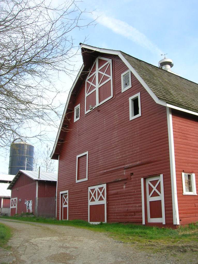
Quick Facts: Location: North Fork Stillaguamish River Valley near Arlington Land Agency: Snohomish County Parks Roundtrip: 4.5 miles Elevation gain: 50 feet Difficulty: easy Contact: Snohomish County Parks Notes: Dogs permitted on leash. All farm buildings are closed to public. Access: From Exit 208 on I-5 head east on SR 530 for 4.0 miles to Arlington. Continue east on SR 530 for…
Read MoreBeaver Lake Loop–wetland wonderland on Lord Hill
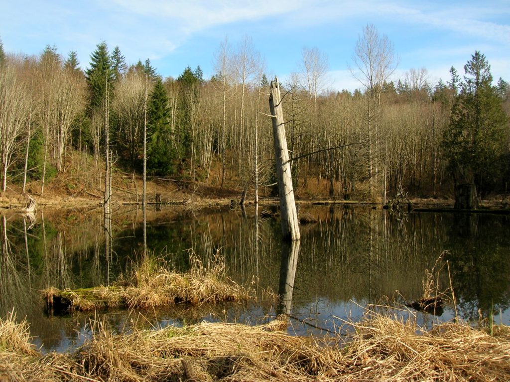
Location: Lord Hill Park near Snohomish Land Agency: Snohomish County Parks Roundtrip: 2.2 miles High Point: 650 feet Elevation gain: 200 feet Difficulty: easy Contact: Snohomish County Parks Notes: Dogs must be on leash; Map available online Access: From Everett, head east on US 2 for 8.0 miles and take 88th Street SE Exit. Turn right…
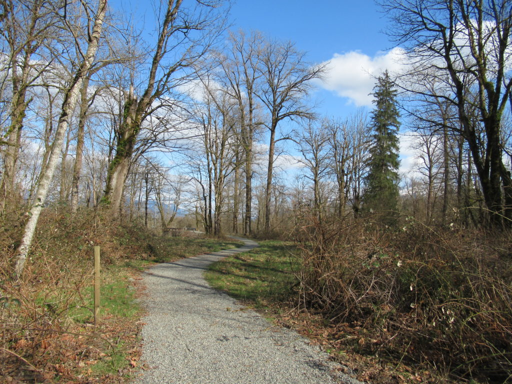
Read MoreLowell Riverfront Trail—Out of industrial ashes a riverside trail and park are born
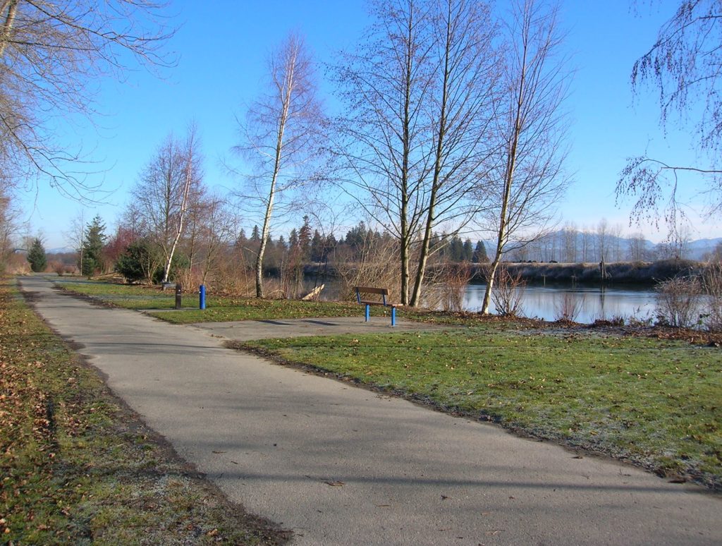
Quick Facts: Location: Lowell neighborhood, city of Everett Land Agency: Everett Parks and Recreation Contact: Everett Parks and Recreation Department Roundtrip: 4.0 miles Elevation Gain: None Access: From Exit 192 on I-5 in Everett head east on 41st Street. Turn right (south) onto 3rd Ave and proceed for 1.2 miles to four-way stop. Turn left onto…
Read More