Posts Tagged ‘Wildflowers’
Thorp Mountain–Historic Lookout on Kachess Ridge
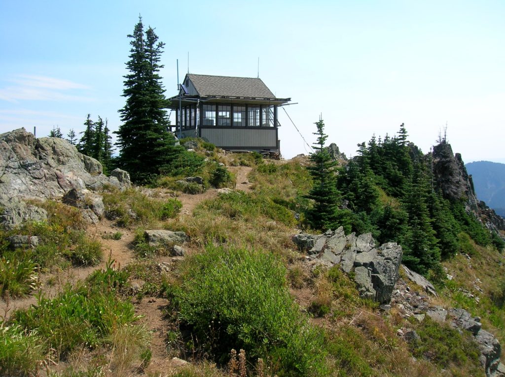
Location: Cle Elum River Valley near Salmon La Sac Land Agency: Okanogan-Wenatchee National Forest Roundtrip: 5.0 miles High Point: 5,854 feet Elevation gain: 1,700 feet Difficulty: moderate Green Trails Map: Kachess Lake – No. 208 Contact: Cle Elum Ranger District: Okanogan-Wenatchee National Forest (509) 852-1100 Note: FR 4308-120 is rough and brushy in spots. High…
Read MoreHannegan Peak– Supreme views of snow and ice—and that’s the truth, Ruth!
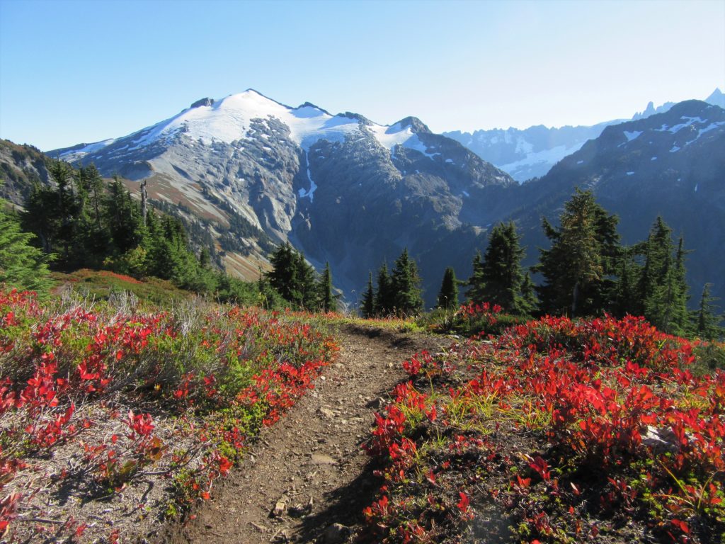
Quick Facts: Location: North Cascades Mount Baker Wilderness Land Agency: Mount Baker-Snoqualmie National Forest Roundtrip: 10.4 miles Elevation gain: 3,100 feet Green Trails Map: Mount Baker Wilderness 13SX Contact: Glacier Public Service Center or Mount Baker Ranger District: Mount Baker-Snoqualmie National Forest Notes: Northwest Trail Pass or Interagency Pass required; Wilderness rules apply Access: From…
Read MoreGrizzly Peak — It’s a long hike, but not a bear of a hike!
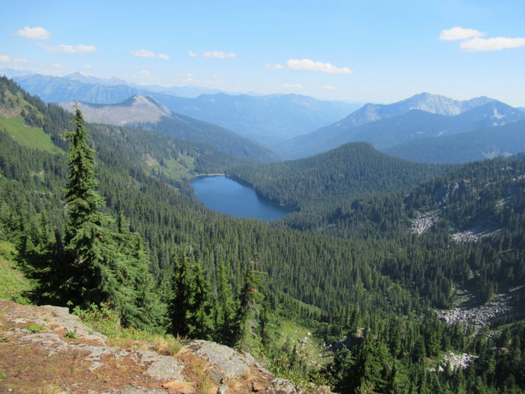
Quick Facts: Location: Pacific Crest Trail, Henry M Jackson Wilderness, Stevens Pass area Land Agency: Mount Baker-Snoqualmie National Forest Roundtrip: 16.4 miles Elevation gain: 3,400 feet Difficulty: difficult Green Trails Map: Benchmark MT- No. 144 Contact: Skykomish Ranger District: Mount Baker-Snoqualmie National Forest Access: From Everett, head east on US 2 to Stevens Pass. Continue…
Read MoreDishpan Gap—Crimson carpets at the headwaters of the Sky!
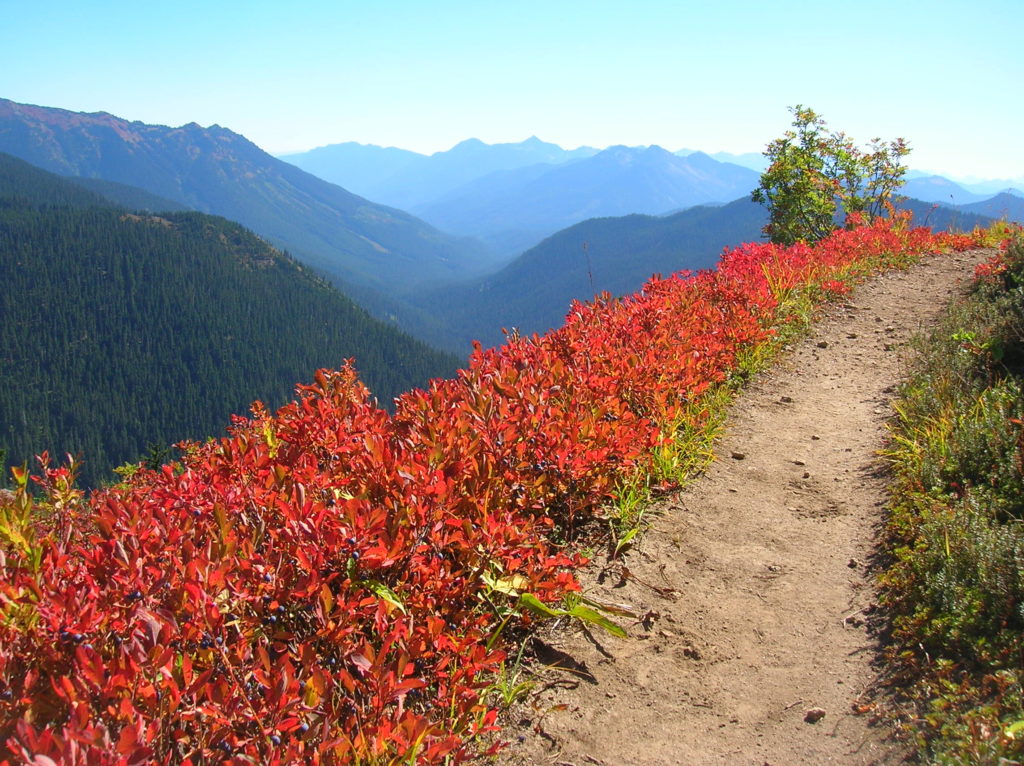
Quick Facts: Location: North Fork Skykomish River Valley Land Agency: Mount Baker-Snoqualmie National Forest Roundtrip: 17.4 miles Elevation Gain: 3,100 feet Contact: Skykomish Ranger District: Mount Baker-Snoqualmie National Forest Green Trails Map: Monte Cristo- No. 143, Benchmark Mtn- No. 144 Special Note: Northwest Forest Pass or Interagency Pass required; wilderness rules apply Access: From Everett…
Read MoreTomlike Mountain–There’s much to like about this Columbia River Gorge peak
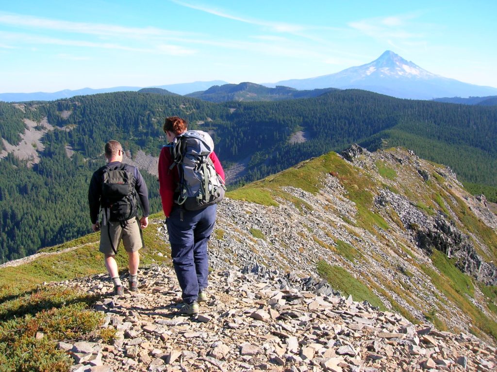
Quick Facts: Location: Mark Hatfield Wilderness, Columbia River Gorge, Oregon Land Agency: Mount Hood National Forest Roundtrip: 6.0 miles Elevation gain: 1,300 feet Green Trails Map: Columbia River Gorge -West No 428S Contact: Mount Hood National Forest, Hood River Ranger Station Notes: Northwest Forest Pass or Inter-agency Pass Required Recommended Guidebook: Day Hiking Columbia River…
Read MoreRed Pass─High Portal to Glacier Peak
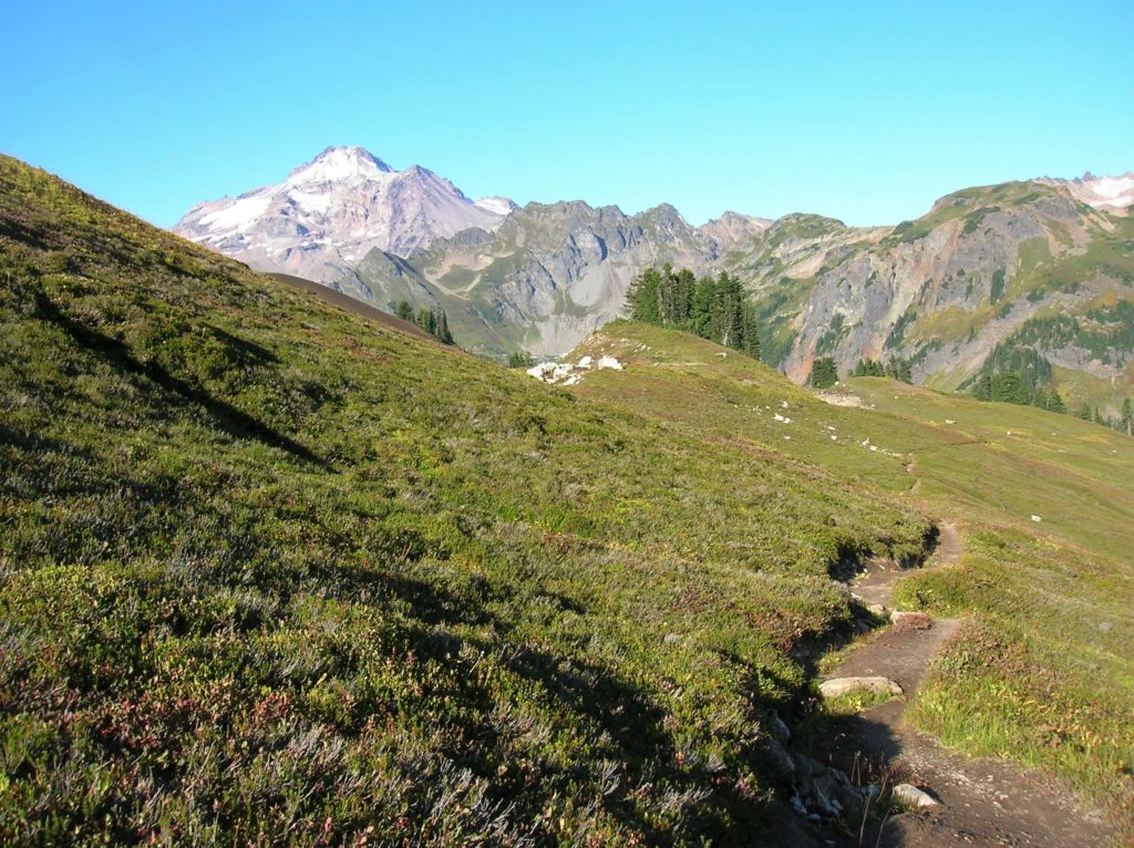
Quick Facts: Location: North Fork Sauk River Land Agency: Mount Baker-Snoqualmie National Forest Roundtrip: 20.6 miles Elevation Gain: 4,300 feet Contact: Darrington Ranger District: Mount Baker Snoqualmie National Forest (360) 436-1155; www.fs.fed.us/r6/mbs Green Trails Map: Mountain Loop Highway 111SX Special Note: Northwest Trail Pass required. Access: From Darrington, travel south on the Mountain Loop Highway…
Read MoreBenchmark Mountain–The meadows here measure up among the best
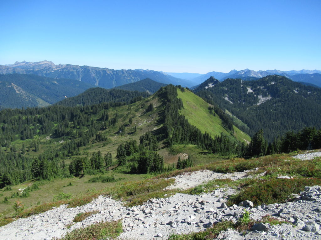
Quick Facts: Location: North Fork Skykomish River Valley Land Agency: Mount Baker-Snoqualmie National Forest Roundtrip: 14.2 miles High Point: 5,816 feet Elevation gain: 3,700 feet Green Trails Maps: Monte Cristo, WA-No. 143, Benchmark MT- No. 144 Contact: Skykomish Ranger District: Mount Baker-Snoqualmie National Forest Note: Northwest Forest or Interagency Pass Required Access: From Everett head…
Read MoreAbercrombie Mountain– Northeast Washington’s second highest summit is first rate when it comes to views
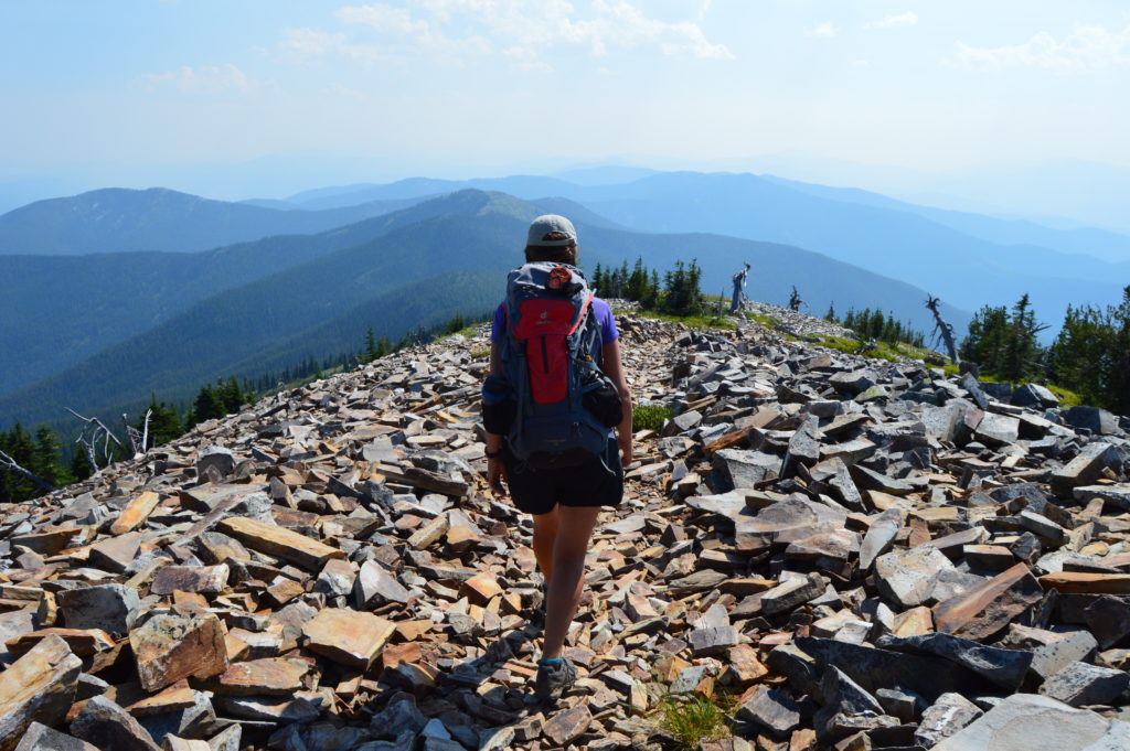
Quick Facts: Location: Abercrombie-Hooknose Roadless Area, Selkirk Mountains Land Agency: Colville National Forest Roundtrip: 7.4 miles Elevation gain: 2,300 feet Contact: Colville National Forest, Three Rivers Ranger District (Colville) (509) 684-3711 Notes: Access road requires high clearance vehicle Access: From Colville, Washington travel north on Aladdin Road (CR 9435) for 25 miles. Turn right on…
Read MoreNorth Navarre Peak–The Summer Blossom Trail blooms with extensive views!
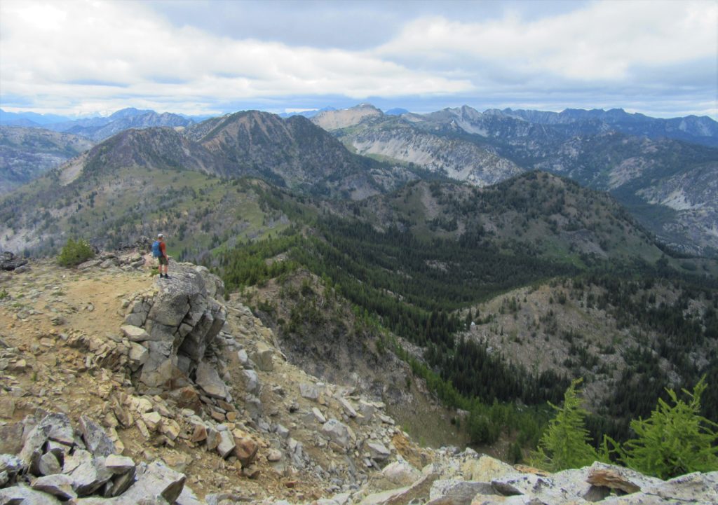
Location: Sawtooth Ridge near Lake Chelan Land Agency: Okanogan-Wenatchee National Forest Roundtrip: 5.0 miles Elevation gain: 1,550 feet Contact: Chelan Ranger District: Okanogan-Wenatchee National Forest Green Trails Map: Prince Creek- No. 115 Notes: access is via a long and bumpy gravel road. Four-wheel drive recommended. Good to Know: Exceptional wildflowers; exceptional views; backpacking options; exceptional…
Read MoreSouth Coldwater Ridge — Elk, toppled tractors, and a stunning view of a volcano-formed lake
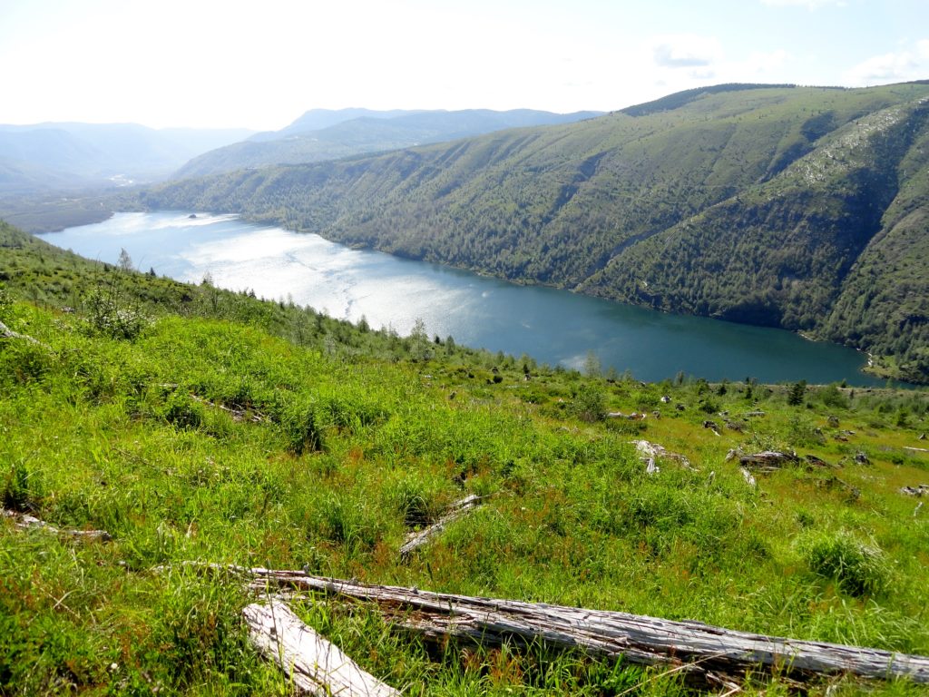
Quick Facts: Location: Spirit Lake Highway Mount St. Helens West Land Agency: Mount St. Helens National Volcanic Monument Roundtrip: 6.8 miles Elevation gain: 1525 feet Difficulty: moderate Green Trails Map: Mount St Helens 332S Recommended Guidebook: Day Hiking Mount St Helens Contact: Mount St. Helens National Volcanic Monument Access: From Castle Rock follow SR 504 east…
Read More