The Hummocks — Hike through the former heart of Mount St. Helens
Quick Facts:
Location: Spirit Lake Highway, Mount St Helens National Volcanic Monument
Land Agency: National Forest Service
Roundtrip: 2.5 miles
Elevation Gain: 250 feet
Contact: Mount St Helens National Volcanic Monument
Green Trails Map: Mount St Helens 332S
Notes: Northwest Forest Pass (or interagency pass) required; dogs permitted on leash; off trail travel prohibited. Practice Leave No Trace Principles
Access: From Castle Rock follow SR 504 east for 45 miles to trailhead.
Good to Know: interpretive, wildflowers in season, exceptional views, kid-friendly, dog-friendly
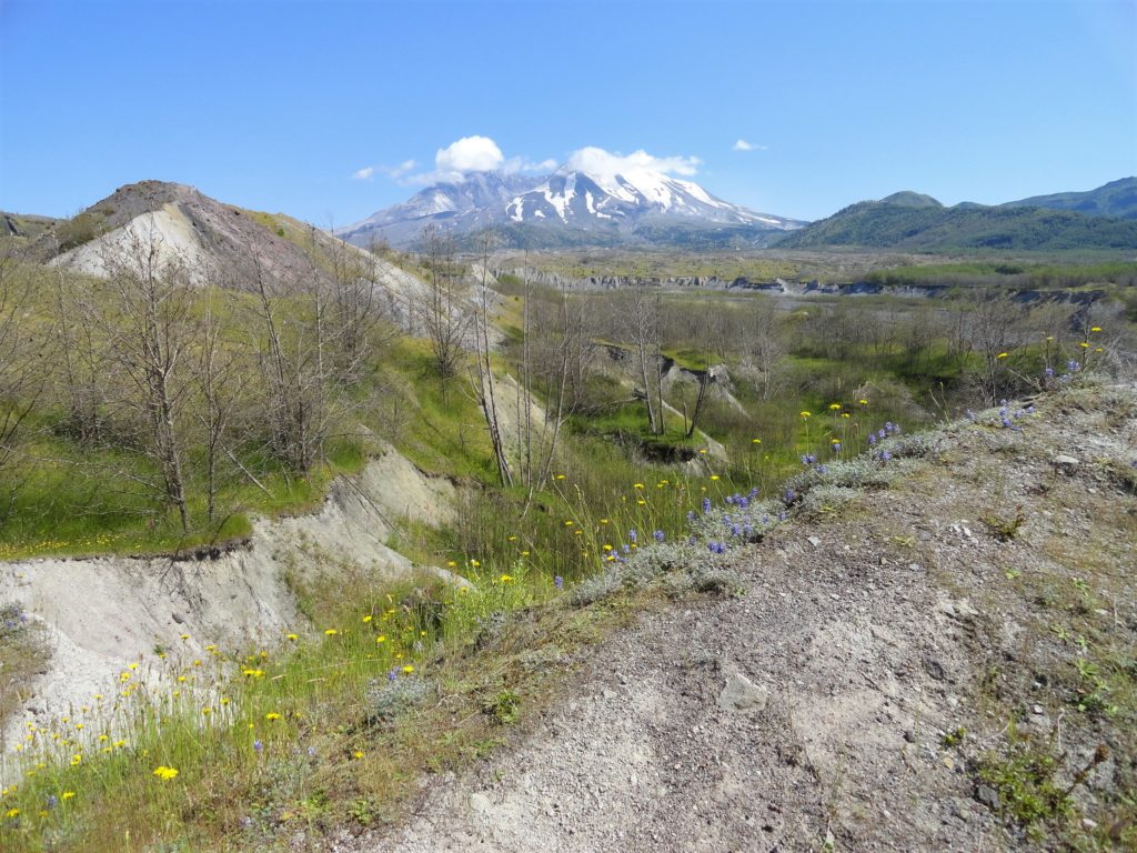
Stroll through a series of steep sided hills formed by debris avalanche deposits from Mount St Helens’ 1980 eruption. The Hummocks is a fascinating landscape of towering colorful gravel mounds and lush wildlife-rich pocket ponds. What was once mature forest is now a plain of jumbled rock and ash deposits up to 500 feet high, nascent wetlands and pioneer forest.
The trail is a loop, so head in either direction, although I prefer clockwise for the interpretive signs. The wide and well-groomed trail goes up and down the lumpy landscape skirting ponds and marshes in the folds. In the warmer months, bugs, birds, and amphibians are prolific contributing to an ensemble of soothing outdoor melodies. Try to imagine how this land before you changed so radically. When Mount St Helens erupted, its north face collapsed into an immense avalanche sending parts of the mountain down valley. You are now standing on the former heart of the volcano.
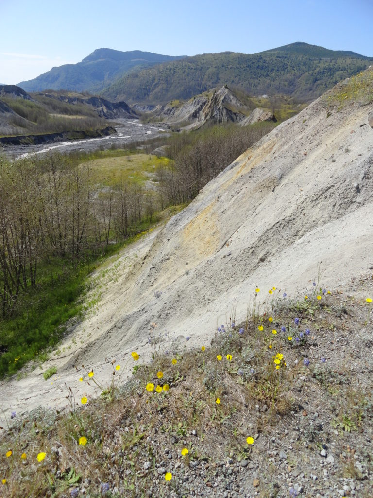
Reach a junction with the Boundary Trail in a grassy plain beneath the watchful eye of St. Helens. Continue right across a landscape remarkably resembling a badlands descending to a big wetland pool flanked with pioneering alders. The way then travels over a bluff on the North Fork of the Toutle River. Enjoy excellent views of the wide channeled river and of the mountain that altered this valley. Then cross and follow a creek coming to a junction. The short spur left leads to good river bluff top view out to Elk Rock.
The loop continues right now following a creek uphill. Make a couple of bridged crossings of it and come to a big marshy area. Then keep hiking passing a grassy flat and coming to another large wetland. Finish up the loop with a small climb through an alder forest.
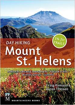
For detailed information on this hike and nearly 100 others in and around Mount St. Helens, consult my (co-written with Aaron Theisen) Day Hiking Mount St. Helens (Mountaineers Books). This guide is the most comprehensive book to Mount St. Helens, covering every trail in the monument including winter trails; and trails within the Dark Divide, Lewis River Valley, and Siouxon Creek Roadless area. Pick up your copy today!
For information on other things to do in the area and on where to stay, consult Northwest TripFinder.

For information on some great programs and events going on at the monument, check out the Mount St. Helens Institute
That whole area by the mountain is special, new areas to discover and awesome views.
https://www.fs.usda.gov/sites/nfs/files/r06/giffordpinchot/publication/MSHNVM%20Rules.pdf
Dogs are not prohibited on this one
thanks for catching that-corrected above!